Tagamanent from the wells of Avencó de Aiguafreda
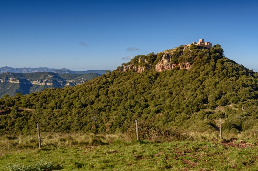
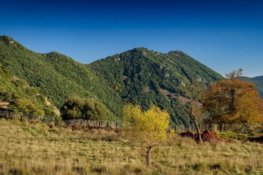
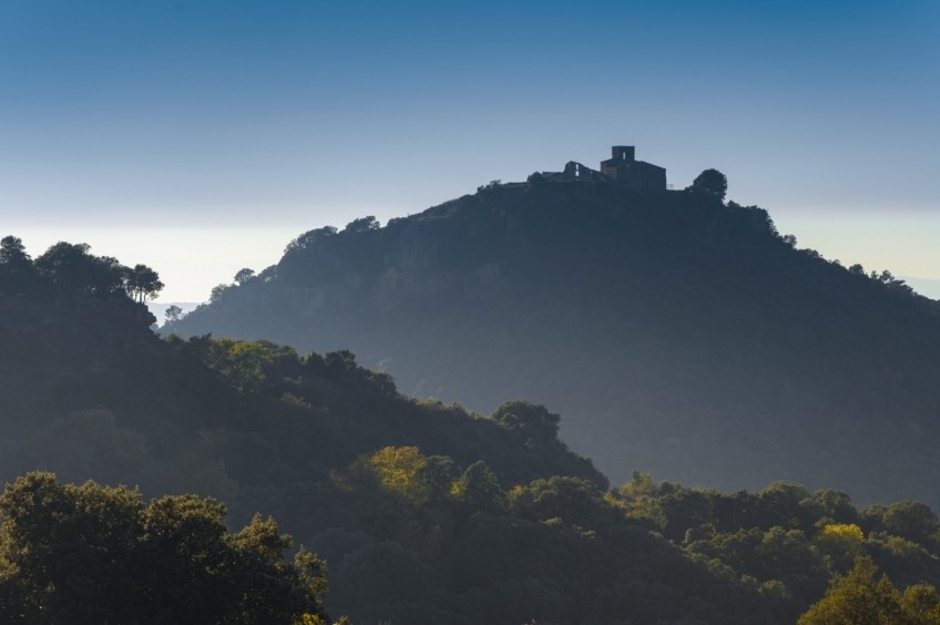
Dominating the Congost, the Tagamanent is a small hill that stands out from the ridge that descends from the Pla de la Calma. Although with a track we can practically reach the top, we look for a longer alternative going up through the shady area and enjoying the landscape of this environment of the Montseny Natural Park.
- Difficulty: medium. No special difficulty. If we follow the GR-5 it is well signposted and there is no loss.
- Elevation gain: 683 m of positive elevation gain
- Time: between 3h 20 'and 4h according to rhythm and stops
- Kilometers: 12 km
Variants: The fastest option to climb the Tagamanent is from the Collet de Sant Martí, which will take about 15 minutes to the top. It can also be done easily from the Bellver mas-restaurant (30-35 min). If we want to make a longer simple option, we can do the Tagamanent from Collformic through the Plan de la Calma (22 km round trip). Finally, we could also go up the PR-C 213 from Figaró or lengthen the route that we do back in Aiguafreda through the Carena de Fondrats.
Access: From Granollers we take the C-17 towards Vic. We leave the C-17 through the southern access of Aiguafreda and just at the same exit, we turn right towards the Barrio del Avencó. We continue down the street until we reach the restaurant, camping and recreation area of Las Encinas de Avencó, where there is a parking lot right next to the area of Las Encinas and the ice wells of Avencó. If we come from Vic, we will enter Aiguafreda from the north and cross the town to the turnoff for Barrio del Avencó.
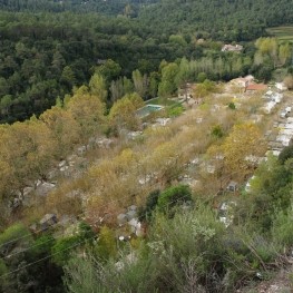
We left the car in the area of Las Encinas, where there are several tables. We started walking along the path that goes to the Pozo Grande de Avencó, where we arrived quickly. 100 years ago, our country was much colder than it is today and that places as low as this one were used to store ice.
We skirt the well and continue along the path that rises gently in the middle of the holm oak forest. Soon we will see a first old GR mark and, shortly after, we will find a fork in the road. We avoid what goes straight ahead and we follow the one that climbs to our left (more beaten). Shortly after, we will find another deviation in the form of a small path that connects with a forest track (to our right). Whether we take this shortcut to the right or keep going up ahead, we will reach the same forest track, a bit higher.
We go up this track in a South-West direction. The entire climb coincides with the GR-5 that goes to Collet de Sant Martí and Pla de la Calma. We will always follow the indications of this GR until the Collet de Sant Martí, right at the foot of the top of the Tagamanent. We will find stakes with the GR-5 signs and also some that indicate the Matagalls-Montserrat (with greenish-white and red markings, like GR) and the paths of the Verdaguer route.
After about ten minutes of going along the track, and after a curve to the right, we will find a path where the GR deviates to our left and takes a path (the ICC map of the so-called Camino de Puig-acute). We now continue along a path going up through a forest of holm oaks and white pine, with sections where part of the branches have been cleared. In fact, during this uphill section, we will cross 3 forest tracks used for logging.
Higher up, and after skirting a fallen tree (as of December 2019), we will come to a crossroads. At this point, we take the one that comes out in front to the left and rises in a South-West direction (signposted with GR marks). We continue climbing this track until a curve where we leave it and we continue climbing ahead along a wide path that runs through clayey and cobbled terrain. Further on, the path turns into a path and we come across red crosses in some holm oaks. We ignore these signs and continue up the path (further on the GR signs confirm that we are going in the right direction).
After about 8-10 minutes, we will reach the foot of some high voltage cables, which we will follow for a few meters until we reach a fork in the tracks, just before the ruined house of Puig-acute. At this point, we turn left and go up to the ruins of the Puig-acute house. This section is a bit more open to the forest and allows us to glimpse the Tagamanent hill, in front of us, although a little far away.
From the mas de Puig-acute, we continue along a forest track in good condition. Just past the house, we ignore a detour to the left. After about 5-8 minutes from when we follow the track, we will find a detour to the left where the path continues with GR markings (if we were to continue along the track, all we would do is turn a bit).
The path is still characterized by clay soil and several stone slabs. We cross the forest track a bit further up and for a short section we go parallel to the track until we find ourselves further up (going down, you will see that we have done this section along the track and not along the path).
Now we continue along the forest track for about 100 meters to the right and we turn to the left again along the path with the GR-5 markings. A bit further up we will come across a track but we continue along the marked path towards the Tagamanent.
From this point we continue to practically the iris hill without leaving this clayey and paved path that goes up progressively almost always with a constant slope. There is only a small point where we pass a curve in a forest track, but the green stakes with the GR signs are obvious and prevent any loss. A bit higher, we will see the Tagamanent hill above us.
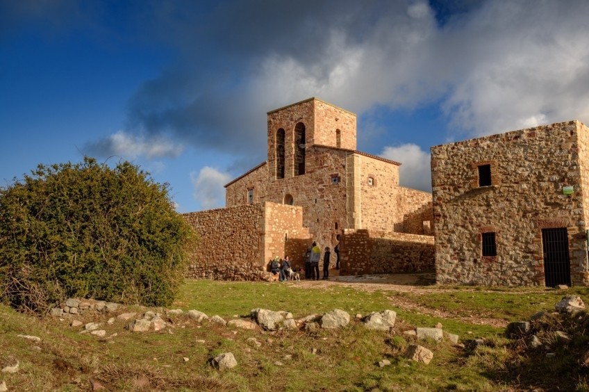
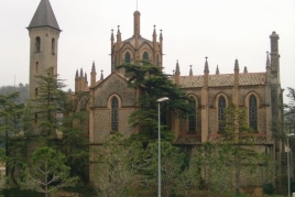
We follow the last meters of the path until we reach the iris hill. We could have reached this point by car but, certainly, the route would not have had so much charm! From here, we make the last stretch up to the castle and the hermitage of Santa María de Tagamanent through a perfectly paved path and skill for anyone who wants to climb. This section is no longer part of the GR-5 but has orange signs and the PR-C 213.
The ascent path makes a couple of curves along the southern slope of the mountain to overcome the almost one hundred meters of unevenness that separate us from the top. Once at the top, a vast panoramic view of the Congost, the Cingles de Bertí and, beyond, Sant Llorenç del Munt and Montserrat opens up. We also see the entire Vallesan plain up to Collserola. Towards the other side, we guess some peaks of the Pre-Pyrenees. The exterior of the church has been recently restored and looks especially beautiful and renovated.
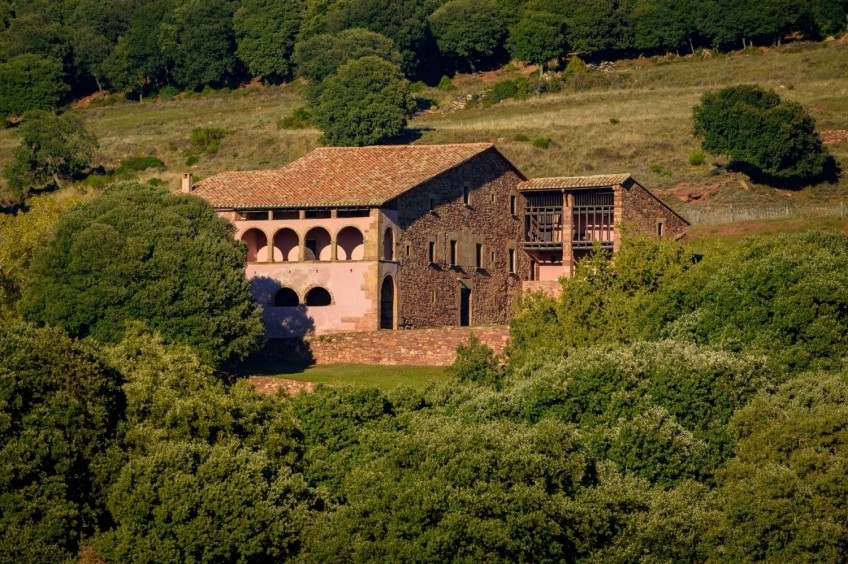
We descend the top to Collet iris and make a last approach to Mas Bellver to have a good panoramic view of the top of Tagamanent. We make this small climb along a perfectly trodden path that again coincides with the GR-5 markings and with orange signs (which indicate the itinerary that goes from Bellver to the top of Tagamanent).
From the Bellver farmhouse we contemplate the views of the surroundings and take the opportunity to visit this farmhouse converted into a restaurant and where you will surely be able to enjoy a great local gastronomy.
To return, we undo the path to Collet iris and, immediately afterwards, we descend to Aiguafreda following the same ascent path through the GR-5 to the ice wells of Avencó.
Image and text authorship: Sergi Boixader
What to do
Museu Arxiu Tomàs Balvey
Cardedeu (a 13.4 Km)The MATBC houses the collection of its creator, Tomàs Balvey y Bas…
Federació Pessebres Vivents de Catalunya
Tona (a 9.3 Km)The Federation of Living Nativity Scenes of Catalonia is a non-profit cultural…
Where to eat
La Calma, el Bellver
Tagamanent (a 1.7 Km)At the Masía Restaurante El Bellver, from 1:00 p.m. to 3:30 p.m.,…
Taverna ümet
Sabadell (a 25 Km)Taverna Ümet is a restaurant in Sabadell offering creative tapas and flavorful…
Where to sleep
Càmping La Vall
Taradell (a 11 Km)Located on the outskirts of Taradell, in a beautiful valley where a…
Hotel Blancafort Spa Termal
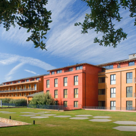
La Garriga (a 6.6 Km)Come to the Hotel Blancafort Thermal Spa and disconnect in the quiet…
Càmping l'Illa
Sant Quirze Safaja (a 8.6 Km)Surrounded by nature, in the middle of the mountains at an altitude…

