

Municipalities
This is a route that can be done on foot following the PR C-144 markings
- Distance: 3km
- Time: 45 minutes
- Signposting: Yellow marks (Red de Caminos del Berguedà) up to the lever; white and red markings (GR 270) to the beach of the rocks and back to the fork of the Camino de Viladomiu in la Guardia and Santa Maria de Merlès; yellow markings to Cal Lluent; unmarked section to the Viladomiu lock; white and red markings (GR 270) up to the lever; yellow marks return to Viladomiu Vell.
- Start: Church of Viladomiu Vell
- End: Church of Viladomiu Vell
The itinerary begins in front of the church of San Marcos de Viladomiu Vell. Directly in front of it is the imposing Tower of the owner, a common building in the textile colonies, in a higher position to reinforce the feeling of dominance and control over the rest of the colony.
Start walking through the alley of the orchards, passing behind the church, and you will soon cross the Canal Bridge. The path that rises upstream will take you to the lever that allows you to cross it. Once crossed, you will join the Camino del Llobregat (GR 270) and the route of the textile colonies. First it is necessary that you follow it downstream along a path in the middle of the riverbank forest. When the path widens a bit, you will find a fork in the paths, continue downstream on the GR 270 and you will reach the beach of the rocks. Here the stream of Biure flows into the river, right in a place where a large stone slab stands out.
If you continue going down, you can lengthen the route and reach the next textile colony, Viladomiu Nou.

Horts i església de Gironella
Source: Gironella City Council
Nearby experiences
Nearby routes
The Llobregat textile colonies by electric car, a world to discover
Berga, Gironella, Puig-reig
This route is designed to be done by electric vehicle, although it can be done with any other car. Along the route we will suggest municipalities that have charging points and places of interest to visit while we charge batteries. Electric…
Route through the historic center of Gironella
Gironella
The route through the historic center ofGironella is a tourist resource for learning about local heritage that follows a marked circular route. The historical route is done on foot and is self-guided, so it is essential to have a mobile phone…
Inclusive circuit in Gironella
Gironella
Beautiful, relaxing and inspiring tour. From the center of town we walk along the banks of the Llobregat river in its most beautiful part, the route is well signposted but you can also download the track to follow it. This route is a combination…
Related routes
Gaudí route in Reus
Reus
The big question when we talk about characters in the height of Antoni Gaudí is: the genius born or made? Surely there are more than enough arguments to defend either of the two approaches, although intuitively tend to believe that both…
Route of the medieval bridges of the Vall de Cardós
Vall de Cardós
Bordering the river Noguera de Cardós we find the medieval bridges used by the ancient inhabitants of the area of Cardós Valley to move. We can make the journey starting in Ribera de Cardós and contemplate the beauty of…
Route through Prades: nature, heritage, and charming villages
L'Espluga de Francolí, Prades, Vimbodí i Poblet
A flat town nestled between the mountains from which it gives its name. Flat and reddish, due to the color of the ashlars of its main buildings and many of the houses. Its location makes it an ideal starting point for excursions. But it's also…
Tomb through the Sierra de Ancosa in La Llacuna
La Llacuna
The Sierra de Ancosa is a mountain range located between the regions of l'Anoia, Alt Camp and Alt Penedès. Through this route we will discover imposing places of this mountain range with a maximum elevation of 1002 meters on Mount Formigosa,…
Events
Children's storytelling in Benifallet
6 NovemberREC.0 Experimental Stores of Igualada 2026
From 4 to 7 NovemberMIRA Digital Arts Festival
From 6 to 7 NovemberLluèrnia, Fire and Light Festival in Olot
From 6 to 7 NovemberFestast, Food Fair of the Terres de l'Ebre in Tortosa
From 6 to 8 NovemberFestival 42 - Barcelona Fantasy Festival
From 4 to 8 NovemberRatafía Fair in Santa Coloma de Farners
From 5 to 8 November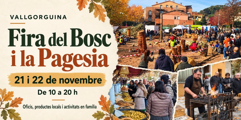
News







 Sustainable turism
 Biosphere