Circular route the Tossals de Vilella
Los Tossals is one of the least traveled and least known mountain ranges in Berguedà. The fact that it is in the shadow of other great peaks and its modest height means that it is not in the spotlight of the general public. This is precisely its grace. Some paths that are not very paved, the silence that is breathed and the fact that you hardly find anyone are some of the charms of the Tossals.
- Difficulty: moderate. It does not have any special technical difficulty, but we can have some orientation problems on foggy days if we want to do the Tossal de Vilella and the Bosque de Casóliba. I have not included them in the track since the path is very blurred.
- Unevenness: 676 m of accumulated positive unevenness.
- Time: between 4h15' and 5h depending on the pace and stops.
- Kilometers: 11.8 km.
- Variants: An alternative would be to go up to Tossal de Vilella along a very blurred path, or to continue along the path that crosses this hill at the north corner. Although there are red markings, boxwoods have grown and the path is poorly defined. We can also go up to the Tossals on the south side from Travil or from Capolat. On the west side, we could go up from Vilella 's house.
Access
From the C-16 in Berga, we take the road that goes to Sant Llorenç de Morunys (BV-4241). We follow it until we have passed the Túnel de la Mina. We left the car just after leaving the tunnel on the left.
Route
From the car park, we must go to the Coll de Jouet. Although there are several trails and paths that are somewhat lost, to make it easy, we will continue along the road in the direction of Sant Llorenç de Morunys for 300 meters. After a curve, we will see a detour to the right. This is the cemented track that goes up to the remains of the Virgen de los Tossals.
We will start the ascent, resolutely, following the fluorescent yellow arrows that are in the cement and in the trees to the sanctuary. We gained a hundred meters in about 10-15 minutes. The track turns to the right and we avoid a detour that goes up to the left).
We pass through the Coll de Jouet, where the track turns to the South-West and plans for a while. Next, we go back up the climb on the cement following the track. There is a path that saves us from a curve that the road makes in case we want to go up more direct.
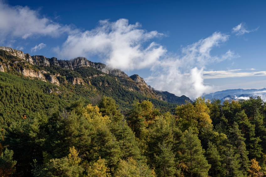
A bit further up, we deviate from the track for a moment to reach a clearing from where we can enjoy a good panoramic view (yellow markings). This will be the keynote of the route: stretches of forest with clearings in rocks and cliffs from where we can go contemplating the landscape.
We cross a cattle fence and, further up, we come to a detour where we turn right (yellow arrows). We can continue a few meters forward to another viewpoint where we will have good views.
From the detour, we climb the last meters in a Westerly direction to the mo. In reality, there are only a few standing walls left and also a modern tower from which we can ring the bell.
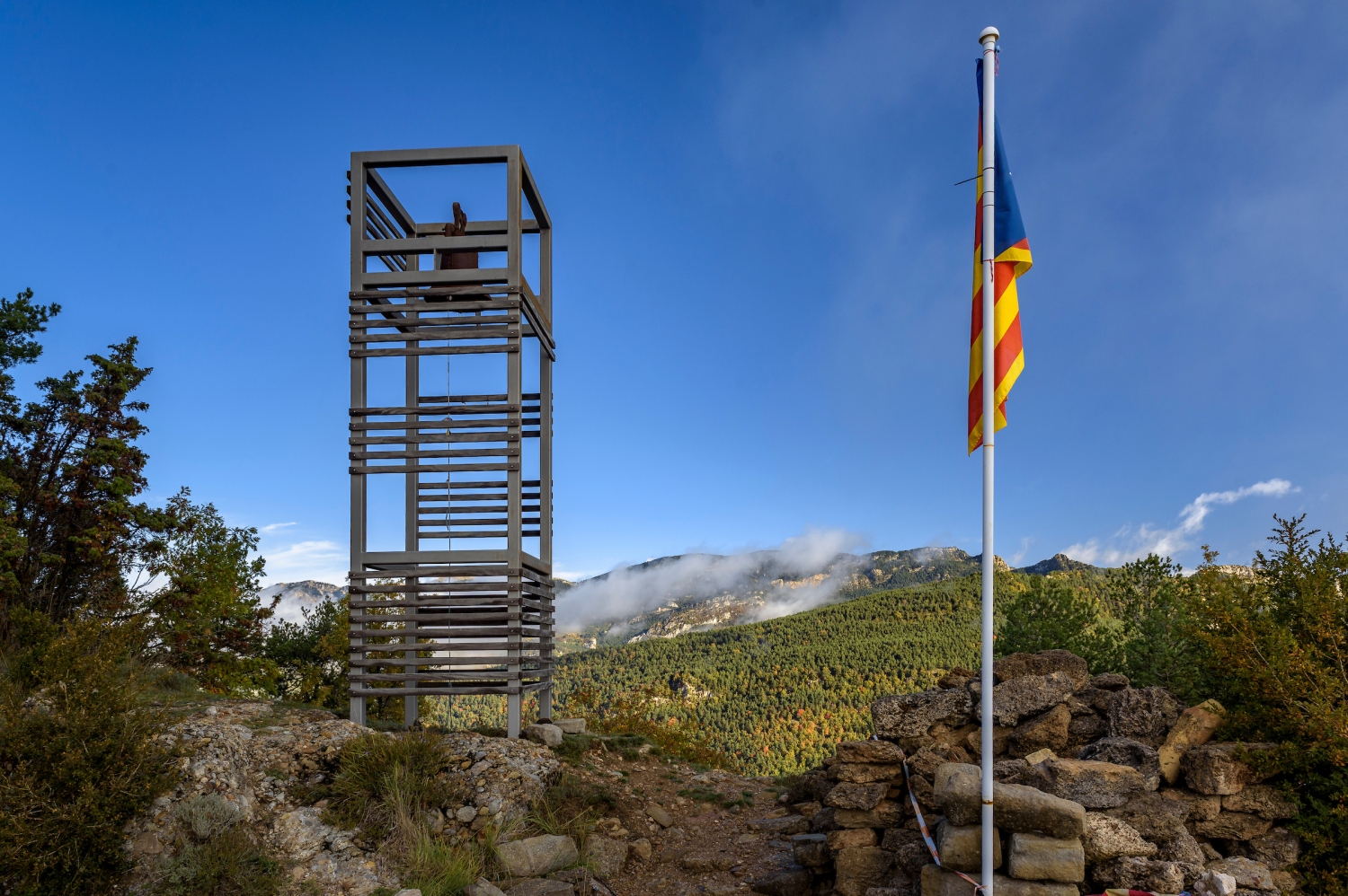
We skirt the sanctuary and continue along the path heading west that goes down to a small col where there is a crossroads. From this point, we will follow the GR-1 for a good part of the crest section. The path from this point is perfectly defined and we will go through sections of forest with sections of rock where we will take views.
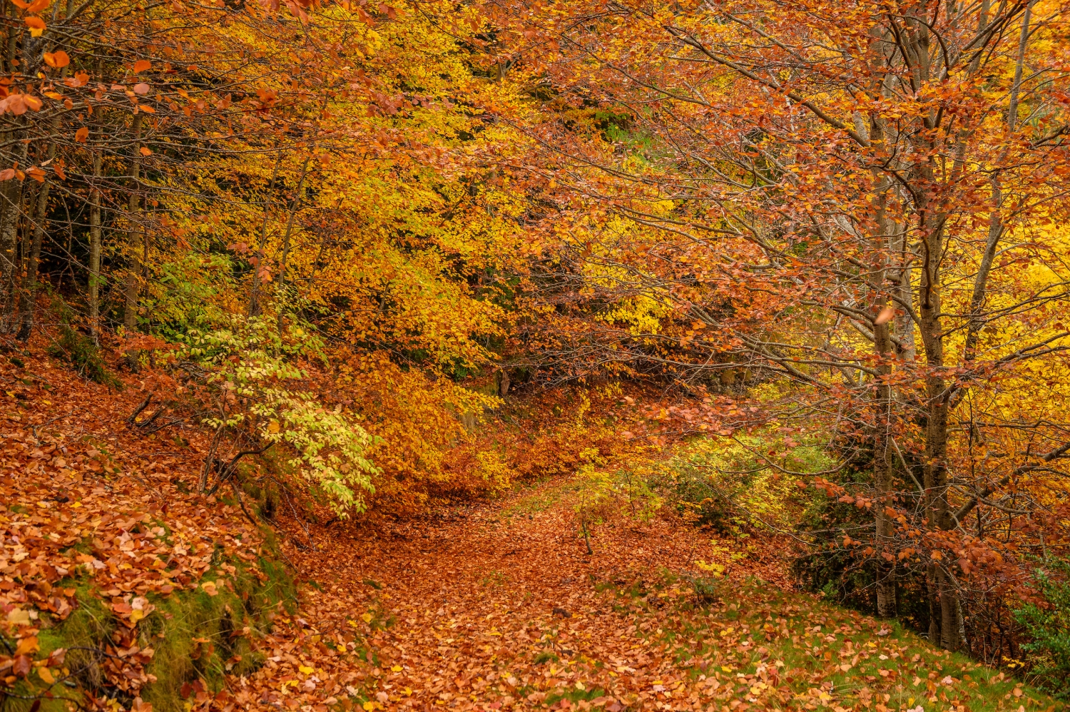
The forest on this route is especially beautiful in autumn, with the combination of the green of the pine with the ocher of beech, wheat and maple. Around All Saints the colors are at their fall sweet spot.
We skirt the Runers mountain range on the southern slope until we reach a conglomerate rock with good views towards noon. We continue in a slight descent to the Mal Pas de Runers where at some point we will help each other with our hands to climb a rock.
10 minutes later, we arrive at another roc-mirador, now towards the north slope. From up here, we contemplate the magnificent beech trees that are right in the shade of the Tossals.
The trail becomes a track (in disuse) and now it will be a question of always continuing in a Westerly direction. 10 minutes further on, we come to a crossroads where we continue along the track to the right (GR markings).
A few minutes later we will arrive at the detour to go up to the Tossals or Tossal de Trasserra (highest point in the mountains). The detour is on the left and is indicated by a milestone. We make this ascent through a less defined path until we reach the top in about 5 minutes, where we find a geodesic vertex. The forest has covered a good part of the views but since the day has risen with fog, we would not have seen them either.
We undo the path to the track and follow it again towards the South-West until the Casóliba Forest pass, where there is an indicator sign. We opted to continue along the track (and the GR) in the direction of Taravil and the Font de la Salut. To go up to Tossal de Vilella, we could take the path that goes down to the right, but it is a path that is not very well-trodden and it is a bit difficult to orientate yourself (especially in the section of access and descent from the top).
So, we continue along the track that skirts the Tossals de Vilella to the south for almost 1 km. At a signpost, the GR deviates to the right (towards Obaga dels Tossals ) and we continue in that direction. Just a little later, we come across another signpost in the Coll del Roure and we turn right again, this time along a path heading north.
From now on, we face a steep descent along a path marked with yellow signs. We also found some old GR signs. In 10 minutes, we lose about 100m in height and arrive at a forest track that we will not leave until we reach the car.
From this point, we will follow white-blue-white stripe marks, which will guide us along this track and along the path that runs through the entire shaded area of Los Tossals. First we went up a few meters to a hill near Vilella 's house, heading North and Northwest. Afterwards, we will level out and descend gently towards Coll de l'Era on the north face of the Tossals.
The Scots pine forest gradually gives way to beech forests with boxwood undergrowth. This stretch is especially beautiful in the fall.
From Coll de l'Era to the car we still have approximately 45-60 minutes left, in which we will do some uphill, especially in the Matamatxos Ascent (and the subsequent descent). Finally, shortly before reaching the car, we will continue along the track (white and blue markings) and we will avoid the path that goes up to the right (yellow markings).
And we are back at the west mouth of the Túnel de la Mina, after having completed this great circular through some very wild and authentic Tossals. A great route!
Authorship photographs and text: Sergi Boixader

What to do


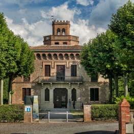
Museu de la colònia Vidal de Puig-Reig
Puig-reig (a 14.5 Km)A visit to the Colonia Vidal de Puig-reig allows us to understand…
La Torre de l'amo de Viladomiu Nou
Gironella (a 12.5 Km)Transported back in time and enjoy a building protected as a cultural…

Museu d'art del Bolet
MontmajorThe Museum incorporates more than 500 pieces of mushrooms duly cataloged by…
Where to eat
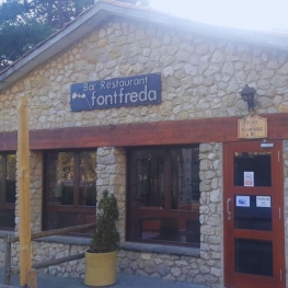
Restaurant Font Freda
Castellar del Riu (a 11.6 Km)A restaurant offering a wide selection of Catalan dishes, especially notable for…
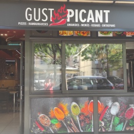
Restaurant Gust Picant
Berga (a 13.4 Km)At Gust Picant, you can enjoy affordable menus with a wide variety…
Restaurant Apartaments Els Roures
Castellar del Riu (a 12 Km)Rest, charm and good cuisine, a unique space located in Berguedà, at…
Hostal de Montclar
Montclar (a 2.4 Km)Located in the town square of Montclar, in the south of Berguedà,…
Where to sleep
Escardívol turisme rural
Viver i Serrateix (a 9.3 Km)Three restored farmhouses for your rural getaway. The common denominator in all…
Hotel Estel
Berga (a 12.7 Km)Hotel Estel, your refuge in Berga to discover the most authentic Berguedà!…
Restaurant Apartaments Els Roures
Castellar del Riu (a 12 Km)Rest, charm and good cuisine, a unique space located in Berguedà, at…
Berga Resort
Berga (a 13.2 Km)Tourist and sports center located in the Catalan Pre-Pyrenees (700 m high)…