


Municipalities
The Sierra de Milany is a great unknown for the general public. Proof of this is that practically we will not find anyone doing this route and that some paths are not well trodden. This is precisely the grace of this mountain range: kilometers and kilometers where the beech tree is the lord and master of a hidden corner of the Pre-Pyrenees. A great excursion to do in the fall.
Difficulty: moderate. The main difficulty is orientation when the leaves fall. All the way is well marked with GR and PR signs, although at some points it will be good for us to check the GPS.
Elevation: 544 m
Time: between 5 and 6 hours according to rhythm and stops
Kilometers: 16.8 km
Variants: An alternative for the descent would be through the Fuente de la Tosca and the Torrent de la Masica. So drain off the turn quite a bit. Like other options, you can reach the Castillo de Milany by the southern slope from Vidrá or Llaés, or from a track that approaches us.
Access: We arrive at Vallfogona by the N-260a that goes from Ripoll to Olot to Vallfogona and the Coll de Canes. We leave the car in the center of Vallfogona and start walking from the town towards the medieval bridge of Vallfogona.
We start the route in the direction of the Milany Castle. During the ascent, we will follow the GR-3 / GR-151.1 signs, one of the Abad Oliba Paths. We will start but going down to the Medieval Bridge to cross the Riera de Vallfogona.
On the other side of the bridge, we turn right (a signpost points us to the Castillo de Milany 6 km away). We continue along a very pretty stretch of paved road, between boxwood and hazelnut trees. The path goes up and we gain height quickly through the forest. We will always follow the GR and yellow marks that will be especially useful in some meadows where there are other cow and cattle trails. We crossed several cattle fences (let's count to 7), and we also crossed a forest track. From here, we already have a magnificent view of the town of Vallfogona and the entire valley. Soon we found another track with a signpost.
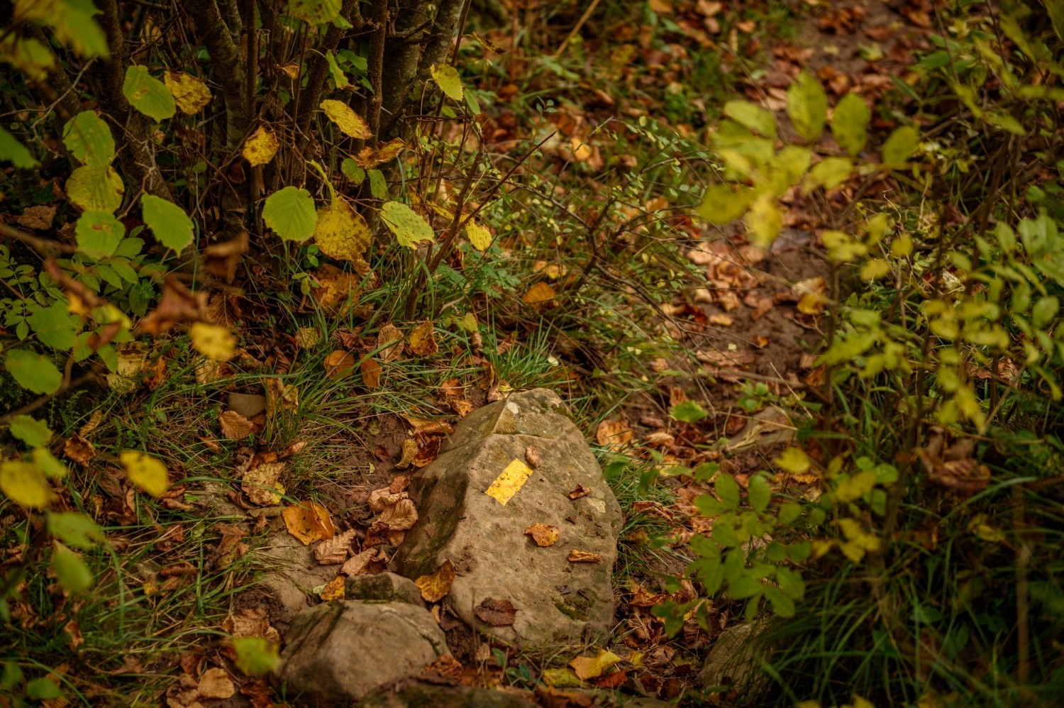
We now continue for a long half hour (2.5 km) along the forest track that rises much more gently. This track, according to the ICC, is called Camino del Bac de la Portella. The path skirts La Portella and faces south. Progressively, we leave the red pine forest and we enter towards the beech forest, increasingly lush. Around Todos los Santos it has incredible ocher tones.
After a curve in the track at the Torrent de Can Cuc, we leave the track and go up to the left along a path that goes up the side of the canal (we will find signs of the GR). During the ascent along the path, we will cross several old forest tracks. This section is all beech with boxwood undergrowth.
After about 20-30 minutes we will reach another forest track where we turn to the right, heading west and go up the side of the track to avoid making more turns. Finally, we find a path that goes up to the Cuello de Milany where we reach the end of the ridge.
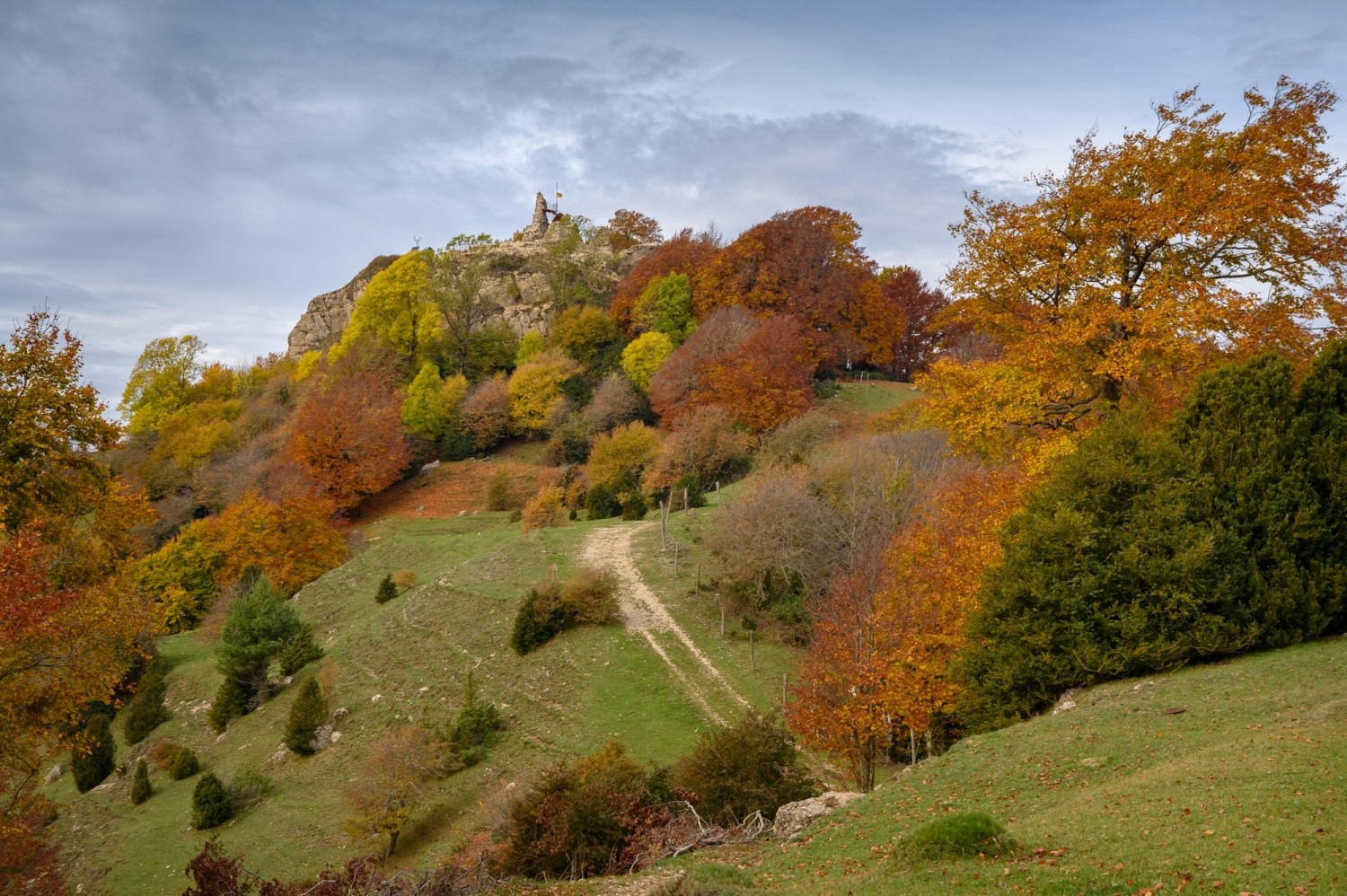
From this point we can already see the Castillo de Milany, now we only need to finish crowning this peak, passing by the side of the track and making a small climb where a couple of pins will help us to put our hands if necessary. From the castle (undergoing restoration works as of 2019), we go up to the tower's viewpoint from where we will see perfectly all the Pre-Pyrenees from Garrotxa to Pedraforca, apart from all the Ripollès and the beech trees that line the surroundings. To the south, the summits of Montseny and Bellmunt stand out.
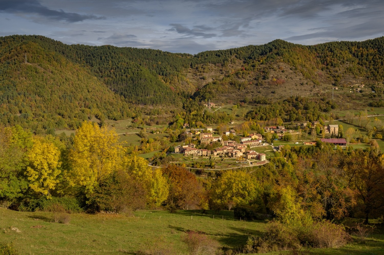
We descend from the castle and return to Coll de Milany along the track. Now we will continue practically all the time along the ridge to Santa Magdalena de Cambrils. Immediately, we leave the track and take a path to the left. From now on we will only look at the PR-C 59 marks that will take us to Santa Magdalena de Cambrils in a matter of 1h 15 approximately.
During this section, we will pass several fences of the cow yarns and we will alternate sections of meadows and sections of beech forest. The forest covers a good part of the views, but it will allow us to enjoy a magnificent environment and in silence.
Progressively, the path is blurred by the effect of the beech leaves, especially in autumn. We go down to the neck of the Espinal where a power line passes. We cross the neck and continue, now uphill, until we recover the ridge line, slightly on the southern slope. In the meadow sections, we will have to pay attention to the markings so as not to lose our way.
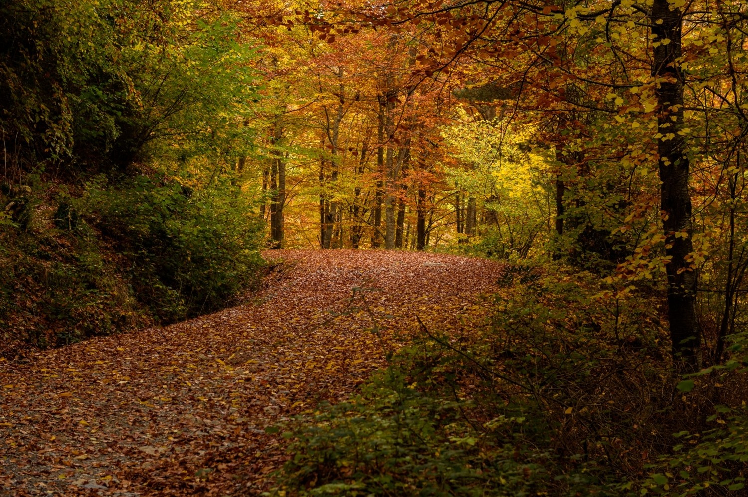
We pass through the Trevija neck and finally arrive at Santa Magdalena de Cambrils, a small hermitage on top of a hill. The environment of the beech forest is very beautiful. An indicator sign marks the various routes to get here: from Collfred, Vidrà, etc. We will continue towards the Vallfogona which marks 2h30 '.
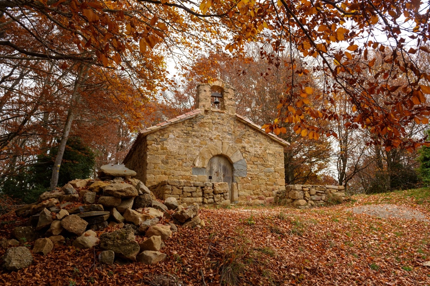
From the hermitage, we go back, cross a fence and go down a path in a Northwest direction, indicated with PR marks. The road goes down quickly. We cross a forest track and, further down, we come to another forest track that we will follow for about 300m towards the Northwest. At a curve, we will take a path (marked with milestones and PR signs) and we go down towards the North until the Plan de Puigvassall. At this point, we turn left along a track to the Puigvassall house.
When we get to the house, we go around it to the right and we continue along the path that plans and goes down towards the North. It is important not to deviate on any of the trails near the house: we are going to look at the PR marks and purple spots.
In about half an hour we will reach the bottom of the valley, on the concrete track that the Camping Mas La Bauma. We follow it a stretch and further down we turn left. We pass some camping cabins and continue along the trail, descending gently. From here we could continue directly along the track to the town. We follow it for a section, but then we take the PR path that goes down until we cross the Riera de Vallfogona and you will find the track right next to the stream. In this way, we make a bit of a shortcut. Finally, we reach the town by track and complete this interesting circular route.
Authorship of photographs and text: Sergi Boixader

Nearby experiences
Nearby routes
Road Ral de Vallfogona in Ripoll
Vallfogona de Ripollès
In this route of the ral road of Vallfogona in Ripoll we will discover beautiful places of the Ripollès. The itinerary is about 10.6 km long and of medium difficulty. This is the proposal starting in Vallfogona del Ripollès, although…
Local products Ripollès
Campdevànol, Camprodon, Les Llosses, Llanars, Molló, Ogassa, Pardines, Queralbs, Ribes de Freser, Ripoll, Sant Joan de les Abadesses, Sant Pau de Segúries, Vallfogona de Ripollès, Vilallonga de Ter
The region of Ripollès produces a large number and diversity of own food in the area. Located on the southern slope of the Eastern Pyrenees, the Ripollès is characterized as a region with a rugged terrain and high altitude dominated…
Related routes
Castellsapera and Tres Cruces Hill Route
Terrassa, Vacarisses
Less known than the neighboring mountain range of Sant Llorenç del Munt, the Obac mountain range is a good place to get lost and discover some of the rock formations that rise above the forest. In addition, from these viewpoints we will…
Megalithic and dry stone itinerary I in Roses
Roses
This circular route within the Cabo de Creus Natural Park surprises us with the visit to different prehistoric funerary spaces and cultural expressions from the Neolithic era of the peasant communities that lived in the area of the Casa Cremada…
Circular route of the Water Museum of Lleida and the suburb of the Gold Cup
Lleida
If you come to Lleida you cannot miss the Water Museum. Only then will you understand the link between this land and water, and the human ingenuity that allowed it to be distributed throughout the territory. And since you are in the Museum,…
Route through the historic center of Torredembarra
Torredembarra
The passage of history has left in Torredembarra numerous buildings full of meaning. The old town has a great architectural and artistic wealth that makes it an excellent place to take a cultural tour. Can you come with us?
Events
European Heritage Days in Collbató
16 OctoberAlfaro Year in Sant Andreu de Llavaneres
16 OctoberForest week in Sant Celoni
16 OctoberRACC Costa Dorada Rally in Salou
From 16 to 17 OctoberZim Zam Cassà - Cassà de la Selva Urban Art Festival
From 16 to 17 OctoberEnvironmental Fair in Tàrrega
From 15 to 18 OctoberEbrencas Letters Days in Amposta
From 16 to 18 October
News








 Sustainable turism
 Biosphere