


Municipalities
La Garrotxa is one of the Catalan regions with the most spectacular and unique landscapes in the entire State, we would dare to say. And the fact is that apart from being practically all of it a natural park, few places in the world have such a unique natural diversity: volcanoes, beech forests, gorgas,...
The following route will take us to discover the three jewels in the crown of La Garrtoxa: La Fageda de Jordà, the Santa Margarida volcano and the Cruscat volcano, on a circular route.
- Difficulty: medium
- Distance: approximately 12 kilometers
- Time: Between 4 and 4 hours and a half
- Elevation: 199 meters
Variants: Although the route always follows the same path, you can choose to leave from the Can Serra Area to head South or through the Santa Margarida Area.
We will start our route leaving the Can Serra area, where we can park the car without problems. From there, we will head south and immediately cross the road to go down some stairs that will take us directly to the Fageda d'en Jordà, one of the best-known forests in all of Catalonia, in part thanks to its exceptional characteristics: first, because it grows low altitude, something that is not common in this type of forest, and second, because it is located on a lava flow from the Croscat volcano. Well, it should be said that perhaps it is also well known thanks to the fact that the famous Catalan poet Joan Maragall dedicated a beautiful poem to it. Once inside the Fageda, we come across a monolith in memory of the poet and continue through the forest.
Leaving La Fageda, the path climbs towards the pass of Can Batlle and Sant Miquel de Sacot, a church with a Romanesque plan dating from the 11th century, where you can take the opportunity to make a stop and thus take a better look at it. From there, the route continues down to the Sacot plain and the Bassols pass, from where we will access the Santa Margarida volcano from the southwest until descending to the crater, which is characterized by its large circular diameter with a hermitage in the middle that is Who gives the volcano its name?

Volcà de Santa Margarida
Going down the volcano, which is covered by oak forests, we will pass in front of the Font de Collelldamunt and continue straight on until we reach the Santa Margarida area, where we will cross the G-154 road and continue on foot until we can see the Croscat volcano. It will be easy for you to identify, since its most characteristic feature is the impressive slit that cuts it from top to bottom as a result of the extraction of volcanic materials and clay that it suffered for years.
We will skirt the volcano in such a way that it remains on the left all the way, on the north side, until we find the Can Serra car park again.
Text and images: Turisme Garrotxa
Text adaptation: femturisme.cat
Nearby routes
Grand Tour of Catalonia - Section 4. Ode in nature: from La Seu d'Urgell to Figueres
Bagà, Banyoles, Bellver de Cerdanya, Besalú, Camprodon, Castellar de n'Hug, Figueres, Guardiola de Berguedà, Llívia, Meranges, Olot, Puigcerdà, Ribes de Freser, Ripoll
I want to do this route by electric vehicle! This route is designed to be done by electric vehicle, although it can be done with any other car. Along the route we will suggest municipalities that have charging points and places of interest…
Francesc de Verntallat, the path of the Remensas
Besalú, Les Planes d'Hostoles, Olot, Sant Aniol de Finestres, Sant Feliu de Pallerols
This route takes us back more than 500 years ago, when many Catalan farmers subjected to conditions of slavery and certain feudal customs, known as misusos, rebelled against this situation by founding a union and taking up arms against the…
The path of the Carlists in La Garrotxa
La Vall d'en Bas, Olot, Riudaura
From Olot to Riudaura passing through La Pinya, this route will take us to enjoy the views from the Sierra de San Valentín, passing through the Montolivet volcano to the La Pinya washhouses and the Plaza del Gambeto de Riudaura. Difficulty:…
Circular route of the Bisaroques volcano and Tries fountain
Olot
Although its unique horseshoe shape does not allow us to easily identify it as the crater of a volcano, the black, brown and reddish colors of the volcanic soil will help us to do so. The Bisaroques volcano is the smallest of the four volcanoes…
Related routes
Circular route through the farmhouses of Roses
Roses
This circular route runs through the bottom of the Serrat de Can Berta valley, around the Trencada stream and runs through a handful of farmhouses, hence the name of the route. Mas Favar (in ruins), Mas Palou (converted into a hotel), Mas Ponac,…
Route through the Sima de la Febrón from Pla de l'Agustenc
La Febró
The Simas de la Febró are one of the most surprising spaces in the Prades Mountains. A chasm is a cavity (similar to a cave) but with a special depth. Most of the chasms are only accessible to those who are new to speleology or at least…
Cim de Estela, Roc de Auró and Turret of the Engineer
Castellar del Riu
The Cim de Estela is one of the mythical points of the Rasos de Peguera pre-Pyrenean mountain range, a small spur that rises vertiginously over the Berguedan plain and which, due to its aerial nature, has exceptional views of half of Catalonia.…
Events
REC.0 Experimental Stores of Igualada 2026
From 4 to 7 NovemberRatafía Fair in Santa Coloma de Farners
From 5 to 8 NovemberSant Martí Festival in Altafulla
From 3 to 8 NovemberMajor Festival of Sant Martí de Peralada
From 5 to 8 November'La Moguda Gastronòmica' in Santa Perpètua de Mogoda
From 9 October to 8 NovemberCalamarenys - Arenys de Mar Squid Gastronomic Days
From 9 October to 8 NovemberFestival 42 - Barcelona Fantasy Festival
From 4 to 8 November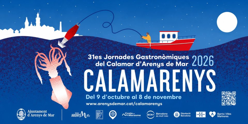
News







 Sustainable turism
 Biosphere