Short circular route through the Malanyeu cliffs
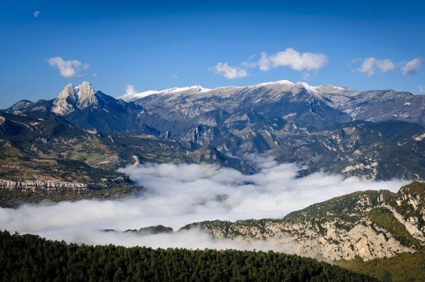
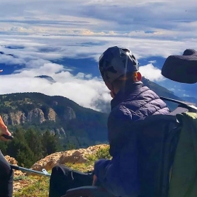
On this route we will be able to get to know the valley and the Malanyeu cliffs in depth. The exceptional views of Pedraforca, the beech forest of Las Espinedas and two sections of fairly aerial climbing make it a varied and highly recommended route.
- Difficulty: Medium. A route with an affordable unevenness and length, but with an aerial and steep section: the Griell de Cal Pigot, where there is a ladder and a help cable and a waterfall is skirted. Account also in the Grapissot.
- Elevation gain: 723 meters.
- Time: 4 hours.
- Kilometers: 11 km or 13 km depending on the itinerary we follow.
- Variants: as can be seen in the previous lines, we can basically choose between 2 itineraries: the short one goes up Griell de Cal Pigot and careens through Serrat de Furellacs, Cabo de la Baga and Grapissot to go back down towards Malanyeu.
We leave from the town of Malanyeu, located in a hanging valley surrounded by cliffs that today we will discover and explore. We began to walk along the forest track that would lead to the house of Llomar, in the beech forest of Las Espinedas and in the last term to the Monnell farmhouse.
Soon we will take a path to the right that begins to climb through the dense Scots pine forest. In about 10 minutes we will arrive at one of the great attractions of the route: the Griell de Cal Pigot. It is a very vertical and spectacular engorged section next to a torrent that in spring and after the rains can go down quite full. We will have to climb it and, to do so, a rope and a metal ladder have been installed to reach a curious hole in the rock. We will go inside this natural door and we will pass by the waterfall (risk of getting wet when it comes down fast). We will finish this section with a rock climb that is easy to catch until we overcome this vertiginous but spectacular spur.
Once at the top, we will continue to the right on a fairly steep path through an area of pine with some sporadic beech that in autumn gives the forest a bit of color. This entire section is quite well-trodden and we will find a milestone. In the last section there is a small straighter climb that we will overcome too much difficulty (there is a help rope).
After an hour from the beginning of the route we will arrive at a landing from where we can take a detour to La Foradada, another of the shows on the route. It is a perforated rock from which we will enjoy a fantastic view of Pedraforca. A good place to have breakfast.
We return to the path and continue, now above the ridge, again in a steep ascent. The path goes up and after half an hour it turns to the east and in some clearing in the forest we can enjoy a fantastic view of the Tor cliffs and the Furellacs mountain range, and from where we will also see Sobrepuny and Montserrat.
The path now moderates its slope and begins the ridge section through the Furellacs mountain range where little by little the forest gives way to alpine meadows that will allow us to see the entire Alt Berguedà, but especially Pedraforca.
The path follows the thread of the crest with no more difficulty than crossing a cow fence. After a while, we will have to turn left next to a cow fence to reach Cabo de la Baga de Cabanelles.
We continue along the ridge and begin to descend gently for about 10 minutes until we reach a crossroads, where we will take what comes out to the left and begins to descend decisively through a beech forest.
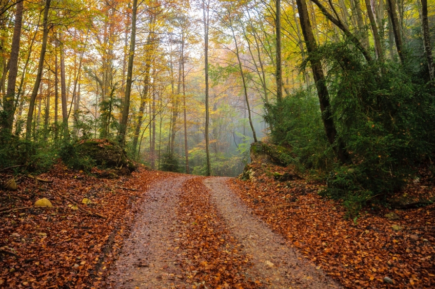
The path descends steeply and we will need to be careful, especially in autumn, so as not to slip on the leaves on the ground. We go down and the beech forest gives way to the pine and we overcome a fairly vertical section with the help of a cable, it is the Grapissot.
After this small grade, the path continues gently descending and turning west to face the Serrat del Mill. A section further on we can choose whether to lengthen or shorten the route in a detour that allows us to make 2 more kilometers of crest or go down towards Malanyeu.
short route
If we choose to go down, the route begins to lose height to the left until it finds a forest road. From that point, it will only be necessary to follow the forest track that goes down following the Malanyeu valley.
On this descent, the Hayedo de las Espinedas and the Fuente de las Travesías forest deserve special mention, one of the most spectacular beech forests in Berguedà, with some hundred-year-old specimens, of notable height and in a shady shade, similar in style to the Hayedo de the Grevolosa. After this stretch of beeches, we will follow the forest road that in half an hour will take us back to the town of Malanyeu and to the car.
What to do
Museu de les Mines de Cercs
Cercs (a 3.3 Km)Dedicated monographically to coal, it is a museum of technique and history…
Tren del Ciment
La Pobla de Lillet (a 11.4 Km)Travel with the Tren del Ciment in a unique place where you…
Guies d'Arrel
Berga (a 8.2 Km)Guías d'Arrel is a company dedicated to providing support to nature, with…
Where to eat
Restaurant Apartaments Els Roures
Castellar del Riu (a 9.1 Km)Rest, charm and good cuisine, a unique space located in Berguedà, at…
Bar Restaurant Xato
Gironella (a 14.7 Km)Order pizzas, burgers, tapas... at Xato Bar-Restaurant and we'll deliver them to…
El Recó de l'Avi
Guardiola de Berguedà (a 7.6 Km)Typical homemade cuisine, with oak-grilled meats, a wide variety of tapas and…
Where to sleep
Càmping Puigcercós
Borredà (a 13.4 Km)The campsite stands out for its quiet atmosphere and familiar character, has…
Hotel Casa Duaner
Guardiola de Berguedà (a 7.6 Km)The Casa Duaner Hotel in Guardiola de Berguedà offers modern facilities, a…
Restaurant Apartaments Els Roures
Castellar del Riu (a 9.1 Km)Rest, charm and good cuisine, a unique space located in Berguedà, at…

