


Municipalities
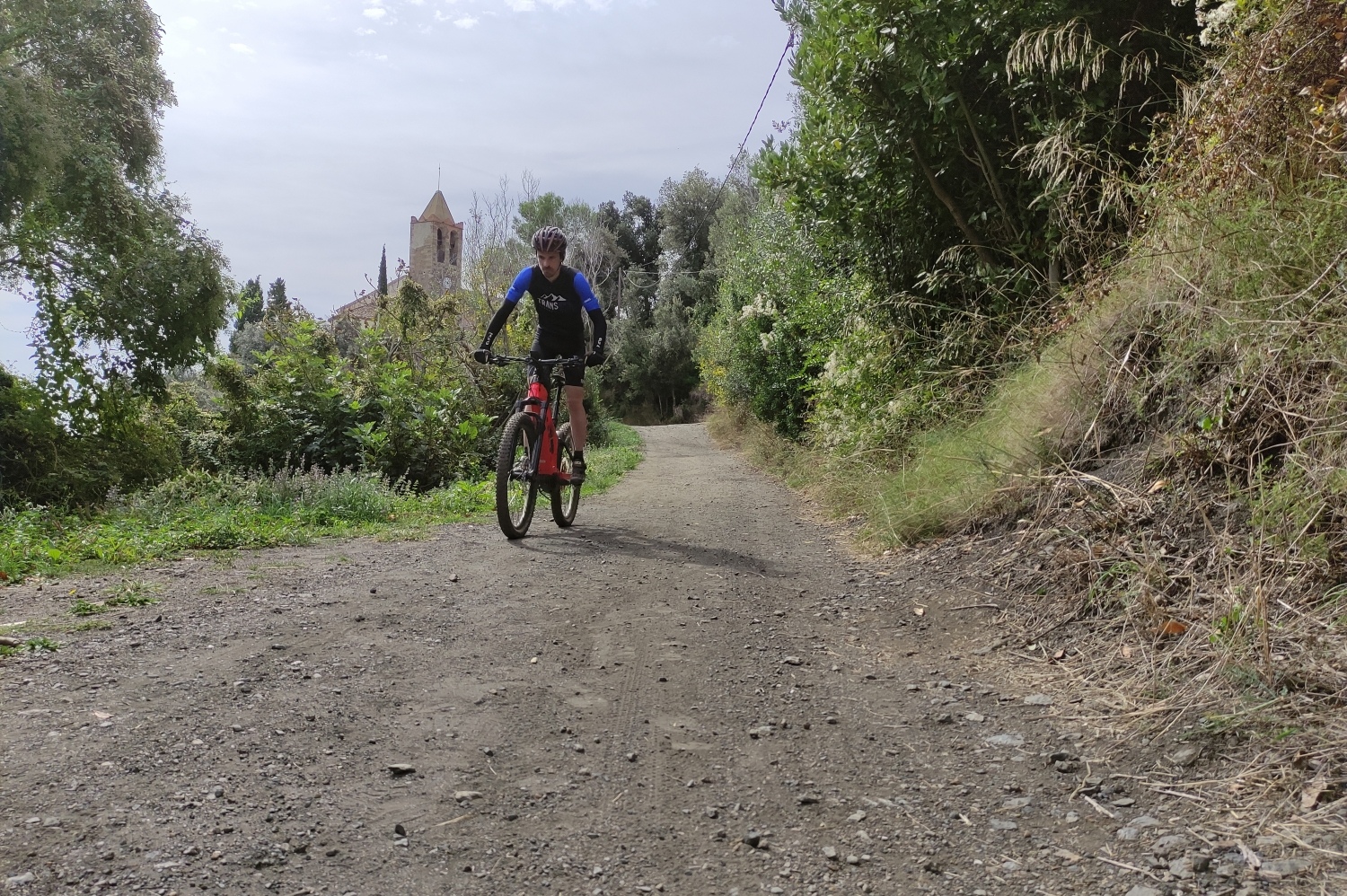
Route that runs through forest tracks of the Montnegre Natural Park, taking us to the highest point exceeding 500 meters above sea level.
- Distance: 43 km
- Elevation gain: 1330 m positive
Once the first ascent (Coll de Can Benet) has been reached, you can decide whether to continue the excursion following the original track or shorten it approximately 10km right at the same neck.
The route does not present any technical difficulties and has very rolling characteristics, except in the last descent, where a small path will put the cyclist's dominance, control and balance to the test. If you want to avoid this section, it can be done by following the track and about 300m further down it joins the track again.
The route can be done 365 days a year, simply taking into account avoiding the hottest hours during the summer season and keeping in mind the hours of sunlight in winter.
Observations
This route does not have too much technical difficulty at the terrain level, therefore, with the use of an electric bicycle, it is a route adapted to the entire population as long as they have a minimum of physical condition.
Font: Santa Susanna Town Hall

Nearby experiences
Nearby routes
Bicycle route around Santa Susanna
Santa Susanna
Route that allows you to discover the municipalities around Santa Susanna, where the route hits asphalt during the first kilometers. The route also allows you to experience the tranquility of pedaling along the sea in these first kilometers.…
Coll de Portell
Santa Susanna
The route starts in the car park near Santa Susanna town hall where you follow the bike lane. We will soon enter the slopes of the Montnegre Natural Park where we will combine trails with very well paved slopes. Distance: 36 km Elevation gain:…
Bicycle route of the Hermitage of the Virgen de Gracia de Santa Susanna
Santa Susanna
Short but intense route that leads us to the Mare de Déu de Gràcia hermitage very close to the municipality of Santa Susanna, mostly along a path. Distance: 5,20 km Elevation gain: 149 m positive
MTB route from Sant Celoni to Santa Susanna
Calella, Pineda de Mar, Sant Celoni, Santa Susanna
Santa Susanna has become a consolidated sports tourism destination for cyclists from all over the world thanks to its specialized accommodation, attractive btt routes for all types of cyclists, personalized services and a great cycling environment.…
Related routes
Slow Bike Route - Penedès 360
Sant Jaume dels Domenys, Sant Sadurní d'Anoia, Torrelles de Foix, Vilafranca del Penedès
The Penedès plain is ideal to discover by bicycle, without haste. This is what the Slow Bike Route - Penedès 360 (162 km) proposes, a circular itinerary of four stages that does not present great difficulties! If we talk about…
Baix Ebre Greenway
Aldover, Arnes, Benifallet, El Pinell de Brai, Horta de Sant Joan, Prat de Comte, Roquetes, Tortosa
The Greenway begins in the municipality of Tortosa, km 0, just where the old railway bridge that crosses the Ebro river ends . Large stones along with the remains of rails mark the beginning of the journey. Do you accompany us to travel…
Circular route pedaling between cork oaks and hot springs
Caldes de Malavella, Cassà de la Selva, Girona, Llambilles, Quart
Route: Girona – Cassà de la Selva – Caldes de Malavella (return to Girona by train) Start: Girona Station End: Caldes de Malavella train station Route: Circular, bicycle + train Distance: 27 km of pedaling route Difficulty:…
Penelles: a route through the Secans of Bellmunt-Almenara
Penelles
The unique municipality of Penelles, in the region of La Noguera, is widely recognized for being the ' the town of Graffitis ' in Catalonia, but beyond this curiosity that colors this town with color and life, Penelles has a unique…
Events
Forest week in Sant Celoni
16 OctoberAmateur Theatre Showcase in Sant Gregori
16 OctoberEuropean Heritage Days in Collbató
16 OctoberZim Zam Cassà - Cassà de la Selva Urban Art Festival
From 16 to 17 OctoberRACC Costa Dorada Rally in Salou
From 16 to 17 OctoberEmbarrats Fair in Sant Joan de Vilatorrada
From 16 to 18 OctoberFish and Rice Gastronomic Days
From 9 to 18 October
News








 Sustainable turism
 Biosphere