


Municipalities
Puigsacalm is one of the essential summits for hiking in Catalonia. At 1,515 metres, it is the highest point in the Transversal Mountain Range and is a great viewpoint of the Bas Valley, La Garrotxa and much of Central Catalonia. In autumn, the beech forests are dressed in a range of ocher colors and it is, without a doubt, one of the best times to visit these environments.
- Difficulty: easy. No notable difficulty, you just have to be a little attentive to the detours and not get disoriented on foggy days.
- Height difference: 544m
- Time: between 3h30' and 4h30' depending on pace and stops
- Kilometers: 9.5km
Variants: A circular alternative would be to start by going up the ridge, along the Els Tossells path and return along the proposed route. Similarly, the Puigsacalm can be done from the North slope, from the valley of Sant Privat de Bas or from Joanetes, along the path of the Paso de los Burros.
To get to the Collada de Bracons, we must take the BV-5224 road just before the entrance to the Bracons Tunnel coming from Vic. If we come from the Olot side, we will take the same road towards Joanetes del Valle de Bas. (the road is called GIV_5273)
From the Collada de Bracons, we start by climbing a first rocky section (which, in fact, will be the steepest of the day) to take the path that enters the beech forest heading north.
During almost the entire route, we will follow the GR 151.1 marks of the Caminos del Obispo and Abad Oliba. We will also find yellow marks to the top.
We find ourselves walking among hazelnut trees and soon we enter a beech forest surrounded by boxwoods. This forest will be the clear protagonist until almost the top. If we go at the end of October, we will enjoy the reddish colors of the leaves. Generally, the bridge of Todos los Santos is one of the best times to go (it is also one of the most crowded times).
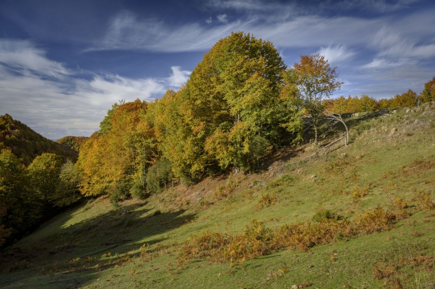
Foto: Hayedo de camino al Puigsacalm
After about 10 minutes from the beginning of the route, we will find the detour to the right to go along the Tossells path. In our case, we will ignore it and continue along the path that runs through the beech forest. During practically the entire route to the Font Tornadissa, we will hardly make any difference in level, we will walk on a plain all the time and it will not give us the feeling that we are climbing to a peak, it will be a good time to contemplate the beech forest calmly and tranquilly. After about 15-20 minutes we will arrive at the Collada de Sant Bartomeu, a small hill with a multitude of paths. There we will have to be attentive: we will cross a small wire fence in the neck and we will turn to the right following the yellow marks and the GR. We will avoid the deviations to the left and forward where there are yellow signs in the form of a cross.
We continue through the beech forest walking and following the various commas that the mountain makes. This section is especially shady and wet. After about 20 minutes, we will find a detour to the right to go towards Font Tornadissa and Puigsacalm (signpost and yellow marks). We leave the track that continues ahead and continue along the path that takes us in about 5 minutes to the Font Tornadissa, a perfect place to have a bite to eat. From this point on, the beech forest ends and the climb up the Rasos del Manter begins. If the day is clear, we will have great views up to Pedraforca. In case of fog, we must watch the orientation, with a milestone and a sign.
We will go up to a forest track, cross it and turn to the right, heading East, until we reach a sign next to the forest. We now continue next to the beech forest until we reach a gate to cross the fence. We continue along the beaten path and enter the beech forest again to climb the last section to the top after about 20 minutes. On the way to the top, we will pass through the Collet dels Clivellers, where there is a signpost and the detour that goes to the Pas dels Burros.
In the last meters before the top, we will leave the path that goes to Santa Magdalena and continue up until we reach the apex of Puigsacalm. From up here, we will have a splendid view of almost the entire Garrotxa, the eastern Pyrenees and a good part of the counties of Girona and Central Catalonia.
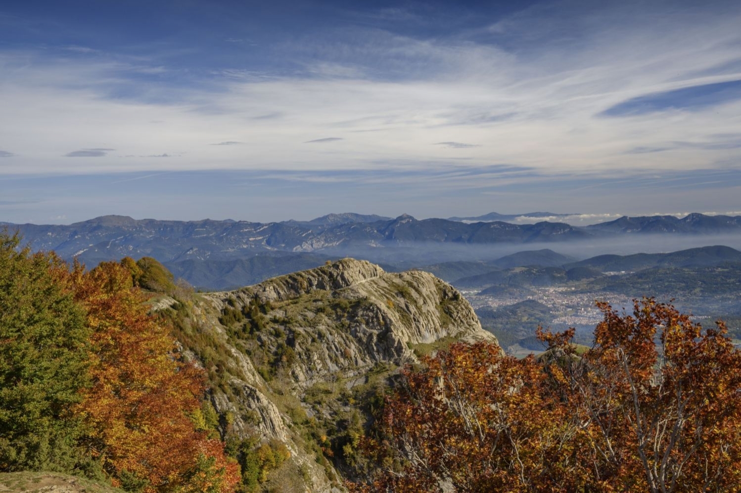
Foto: Panorámica des del Puigsacalm
Before returning to the Bracons pass, we will make a second very easy summit: the Puig dels Llops, which is about 600 meters further north of the Puigsacalm. We will continue along the path that would go towards Santa Magdalena del Mont and we will climb the ridge that goes up to Puig dels Llops. From here, we will gain a great view of the corner of the valley of Sant Privat d'en Bas, with the hermitage of Santa Magdalena in the foreground.
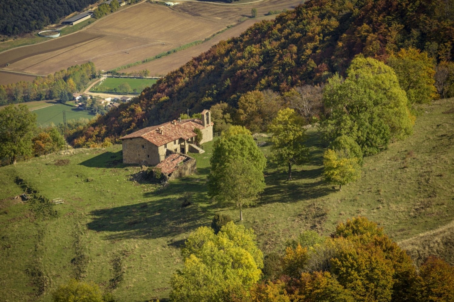
Foto: Vistas a la ermita de Santa Magdalena del Mont
To return, we will follow the path we came from and on the way to the top of Puigsacalm, we can skirt it from below, without having to go to the top.
Author images and text: Sergi Boixader

Nearby experiences
Nearby routes
The volcanoes' kitchen
Besalú, La Vall d'en Bas, Olot, Sant Feliu de Pallerols, Santa Pau
La Garrotxa is a region that is borderline between high mountain and the esplanade Ripollès Empordà and scenically, very unique. Most of the area is mountainous and is covered by forests. Also, is a volcanic area and wet, due…
Route of Carrilet I of Olot in Girona
Amer, Anglès, Bescanó, La Cellera de Ter, La Vall d'en Bas, Les Planes d'Hostoles, Les Preses, Olot, Salt, Sant Feliu de Pallerols
The Carrilet I Route crosses three counties and twelve towns, as well as places of great scenic, ecological and cultural importance, through its 54 km of compacted salon. The road that formerly linked La Garrotxa and Gironès, now allows…
The path of the Carlists in La Garrotxa
La Vall d'en Bas, Olot, Riudaura
From Olot to Riudaura passing through La Pinya, this route will take us to enjoy the views from the Sierra de San Valentín, passing through the Montolivet volcano to the La Pinya washhouses and the Plaza del Gambeto de Riudaura. Difficulty:…
Volcanoes and other landscapes in La Garrotxa
Besalú, Castellfollit de la Roca, La Vall d'en Bas, Olot, Santa Pau
The region of La Garrotxa is located at the eastern end of the Catalan Pre-Pyrenees and is known as the volcanic area of ??Catalonia. Its geographical location makes it attractive both for its proximity to the sea, the coast of L'Alt Empordà,…
Related routes
Path of the natural parks
Aiguafreda, Canet de Mar, Gelida, Olesa de Montserrat, Rellinars, Sant Celoni, Sant Feliu de Codines, Sant Llorenç Savall, Sitges
Starting and ending on the shores of the Mediterranean, the Sendero de los Parques Naturales (210 km), also known as Sendero de los Miradores, makes an arc towards the interior of the territory, always about 40-50 kilometers from Barcelona…
Cap de Creus route
El Port de la Selva
In the Cap de Creus Natural Park the land merges with the sea. This union between land and sea gives rise to an exceptional site, one of the great jewels of the Catalan Pyrenees for its great uniqueness and beauty. There you will enjoy a unique…
Discover the universe Romanesque from the Boi Valley
El Pont de Suert, La Vall de Boí
The Boi Valley located northwest of the Catalan province of Lleida, preserves within it a priceless treasure: one of the architectural and artistic heritage of Romanesque art in the world. On this route we propose a tour of some of the…
The Natural Park Cadí-Moixeró
Bagà, Bellver de Cerdanya, Gósol, Josa i Tuixent, Montellà i Martinet, Saldes
The Natural Park Moixeró is one of the largest natural areas that hosts our country (41,342 hectares) and with a greater number of habits and species of flora and fauna. It is also considered a mountain park as its highest peak is 2648…
Events
Forest week in Sant Celoni
16 OctoberAmateur Theatre Showcase in Sant Gregori
16 OctoberEuropean Heritage Days in Collbató
16 OctoberRACC Costa Dorada Rally in Salou
From 16 to 17 OctoberZim Zam Cassà - Cassà de la Selva Urban Art Festival
From 16 to 17 OctoberFira Mediterrània de Manresa 2026
From 15 to 18 OctoberMoaré Terrassa Festival
From 16 to 18 October
News








 Sustainable turism
 Biosphere