Montgrí Castle from Torroella (circular)

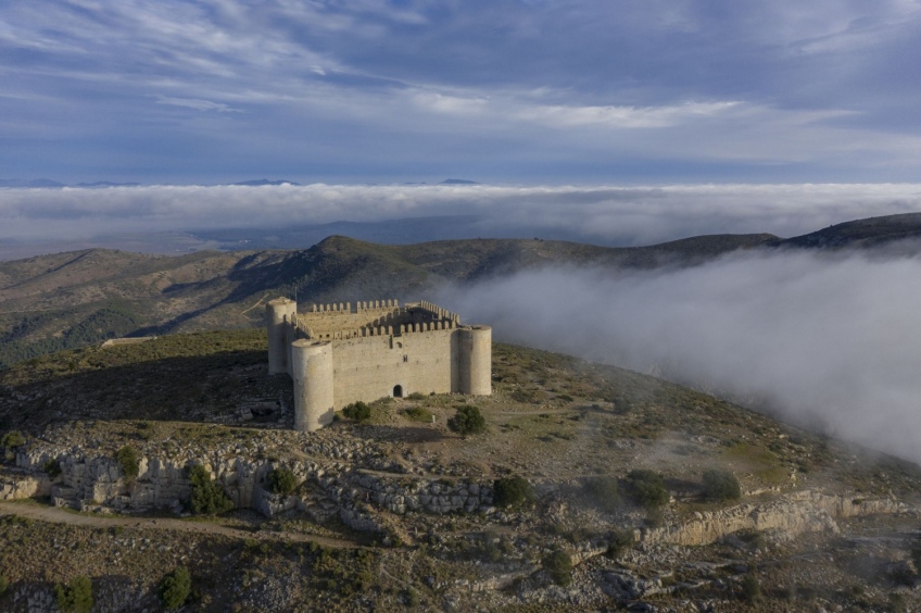
This iconic Empordà route will take us to the top of the Mongrí Natural Park, the Medes Islands and the Baix Ter, with the unfinished Montgrí Castle and from where we will enjoy incredible views over the entire Empordà and the Medes Islands in the middle of the Mediterranean.
- Difficulty: Easy, without any technical difficulty
- Slope: 517 meters of positive slope
- Time: approximately 4 hours
- Kilometers: 8.32km
We will leave from the enabled car park next to the path that goes up to the Castle of Montgrí. From the start, we will take the route where the GR-92 passes, the Mediterranean trail, and at some point we will follow local trail markings to complete the circular route.
Right at the starting point, the sign to the Castell de Montgrí shows us 42 minutes and, precisely, that is the time it will take to climb to the top. We will begin to climb the southern slope of the mountain along a path between fields of olive trees and dry stone margins.
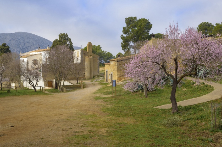
A few minutes later, we will find a fork with a sign indicating the indication to the castle and the hermitage of Santa Caterina. We take the path that we take, we will end up at the same point, since the two paths meet further on.
We start by going up the GR path and we will return by the other path of the local trail to vary the route. The path climbs without stridency and winds through the foot of Montgrí. After a while, the path turns towards the Northwest until reaching Coll de Santa Caterina.
In the last section of the climb to the pass we will find three chapels while we continue along the cobbled path that loops. Once at the pass and at the Santa Caterina cross, we will have a view of the entire Santa Caterina valley and also the hermitage that gives this place its name.
Now we will ascend to the top of the Castle of Montgrí. The path will go up surrounding the rocks of the massif. The rocky terrain gives it a certain Pyrenean air due to the calcareous nature of the massif. In fact, the calcareous outcrop at this point is related to Pedraforca and other points in the Central Pyrenees.
After a while we reach the top of Montgrí, with the imposing unfinished castle. We can enter inside and discover that the interior is an empty courtyard and we can also climb a spiral staircase to the gallery that surrounds the castle from above. The views from here allow us to see all the corners of the Empordà. However, if the day you do the route is cloudy, it will prevent you from seeing further.
After visiting the castle, we will follow the route continuing along the GR-92. Now, we will go down a path through the northern corner of the mountain, which rapidly loses height to Coll d'en Garrigàs, in the shaded Montgrí. During the descent, if it had rained or the ground was wet, be careful not to slip.
From this point you could return to Torroella around the hill from behind. In this case, we will continue along the ridge to Montplà. As the name indicates, the summit that we will do now is a huge vacant esplanade and with only bushes such as mastic or Kermes oak. At all times, during this ascent we follow the marks of the GR-92. At the beginning of this broad crest of the Montplà we will find a trail with several plates of hikers.
Next, we will continue along the ridge towards Puig Rodó, heading north, and we will begin to descend towards Coll del Puig. At this point we will no longer follow the GR-92 and further on we will see marks of the local path that goes around behind the Montgrí towards Santa Caterina.
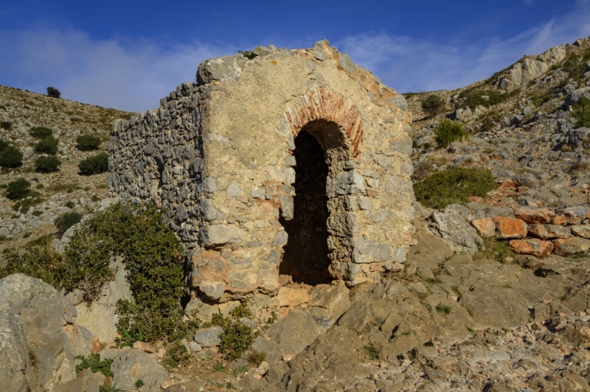
From the Coll del Puig, where we will find a dry stone hut, we will go down to the left, heading southwest towards the hermitage of Santa Caterina, where we will find a small pine forest that will give us shade, especially in summer and on sunny days.
From the hermitage of Santa Caterina, we continue along a gently rising path until we return again to the Coll de Santa Caterina, where we will have passed a while ago. We make the last summit before returning to Torroella de Montgrí. This last hill is the Puig Rodó or Montgrí Mountain. We climb an obvious path on the east side of the mountain. At a small pass, we will avoid a path that flattens out along the southern slope of the hill towards a large milestone that we can see beyond. Following this path we would surround the summit to the south and, in any case, we would have to climb to the top through the field.
We then continue along the path until we reach the milestone at the top of Puig Rodó. From here, if the fog has already lifted, we can see a good part of the Empordà plain. If the day is cloudy or foggy, you probably won't be able to see the peaks of the Pyrenees and Montseny, which, on a clear day, can be clearly distinguished. And if we are lucky, perhaps we will also surprise some mountain goats that live in this territory.
Once enjoying the views from the top, we return to the Coll de Santa Caterina and, from there, we return along the same path to Torroella de Montgrí. As an option to make a small variant, we can return by the other path in that section where there is a fork in the two paths that go down to the car park where we have left the car in Torroella de Montgrí.
Author images and text: Sergi Boixader
What to do
Museu del Suro de Catalunya
Palafrugell (a 14.1 Km)Located in the center of Palafrugell, the Suro (Cork) Museum is a…
Ciutat ibèrica d'Ullastret
Ullastret (a 5.7 Km)Discover the largest Iberian city in Catalonia, a fascinating site in the…
Pessebre Vivent de Pals
Pals (a 7.9 Km)The Living Nativity of Pals goes beyond its religious meaning and has…
Where to sleep
Fonda l'Estrella
Palafrugell (a 14.3 Km)La Fonda la Estrella is a? "bed & breakfast" quiet and cozy,…
Hotel el Convent de Begur
Begur (a 10.7 Km)The Hotel El Convent de Begur is located among enormous pines, cypresses,…
Camping Bungalow Resort & Spa La Ballena Alegre
Sant Pere Pescador (a 12.4 Km)At Camping Ballena Alegre we have a spa where you can enjoy…


