


Municipalities
Ascent to Tuc de Ratera, one of the easiest peaks and with the best views of the Estany de Sant Maurici area of the Aigüestortes National Park.
- Difficulty: low-medium
- Climbing time: 1h 20' to Amitges and between 1h45' and 2h to Tuc de Ratera
Return through the Valley of Ratera, completing a beautiful circular route. Possibility of encountering snow congestion until well into July, so anticipate the use of crampons (recommended, but not essential).
We will make the ascent from Estany de Sant Maurici, which we can reach with the 4x4 taxi service from Espot. If you want to avoid this step, you will have to go on foot from the Prat Pierró car park and add between 1h and 1h30' to the ascent time.
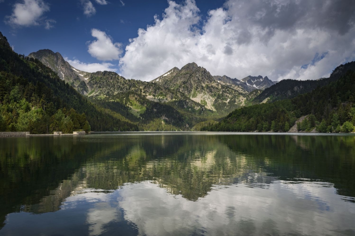
Foto: Estany de Sant Maurici
From Sant Maurici, we will go up to the Amitges Refuge along the track in 1h15' - 1h30' min perfectly. The route is simple, uncomplicated and quite popular in summer. In winter it can be done with snowshoes, although the last access blade to Amitges is quite steep. In any case, it is very well signposted and indicated.
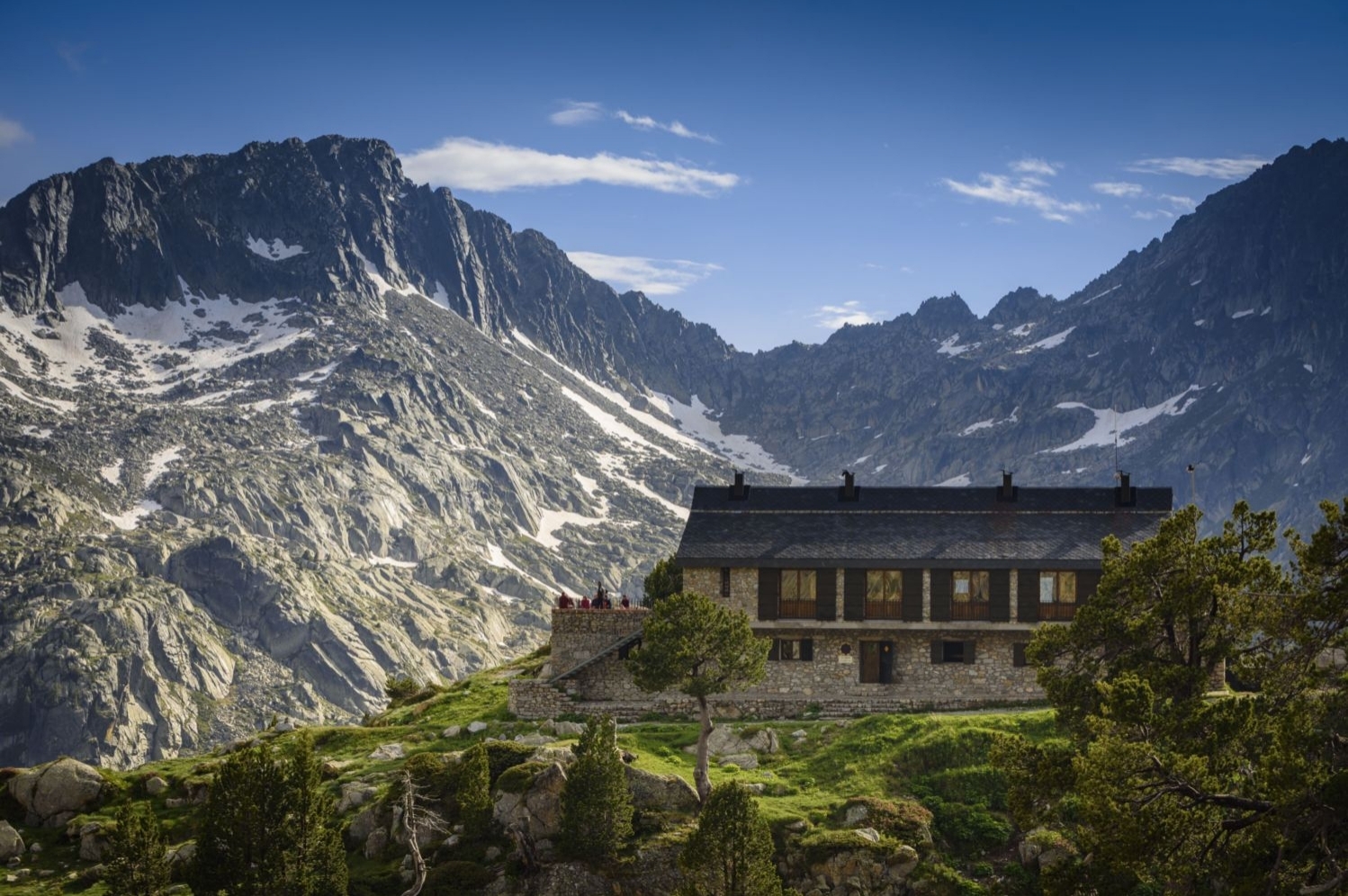
Foto: Refugio de Amitges
Once in the refuge, we will follow the Carros de Foc route and the GR marks towards Puerto de Ratera. We will cross the Estany de Barbs to the right (above the refuge) and we will climb the rear ridge, with no more difficulty than some snow congestion if we go at the beginning of the season. Then we continue without gaining height until we coincide with the descent route that passes through the Ratera Valley.
Very soon, we will arrive at Estany del Port de Ratera and just above it, the Port with the same name. Throughout this section we will find GR marks and the well-trodden path.
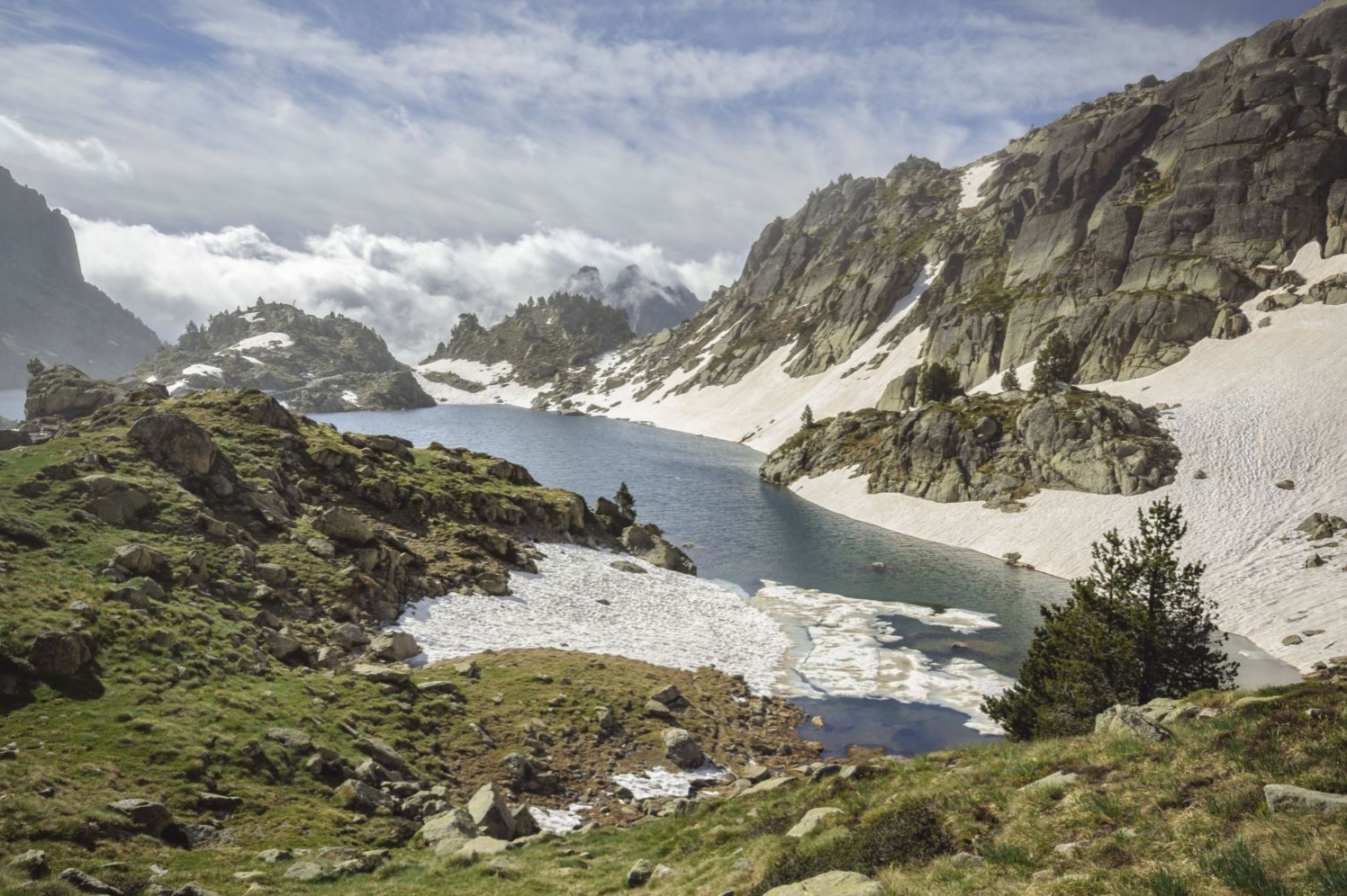
Foto: Estany de Barbs
From the Port, we will go out to the left and we will follow the path with milestones that goes up to the top of Tuc de Ratera. The road is steep and the ascent is 'painful' at some points, but once you get to the top it rewards the effort made.
Going down, we return through the Valley of Ratera following the marks of the GR. In some sections the route may not coincide with the GR due to snow congestion or the flow of the river, which at the beginning of summer is quite full.
The route will take us to the road that goes from Estany de Ratera to the Mirador del Parque Nacional. We will be able to access it in about 10 minutes (not marked on the GPS route).
Photographs and text authorship: Sergi Boixader
Nearby experiences
Nearby routes
Peak of Peguera and Monestero from Espot
Espot
The Pic de Peguera presides over the eastern sector of the Aigüestortes and Estany de Sant Maurici National Park. Not surprisingly, its pyramidal and slender shape dominates the horizon of the San Mauricio Valley and is one of the most…
Sports tourist destinations of Catalonia
Amposta, Banyoles, Blanes, Calella, Cambrils, Castelldefels, Castelló d'Empúries, Girona, L'Hospitalet de Llobregat, La Seu d'Urgell, Lloret de Mar, Naut Aran (Salardú), Salou, Santa Susanna, Sort
Catalonia has a strong sporting tradition, which remains in force today, because each year there are over 40 international championships. The organization of these championships, among which we can highlight the celebration of the 1992 Olympics…
The Aran Valley, a different territory
Alt Àneu, Bossòst, Les, Naut Aran (Salardú), Vielha e Mijaran, Vilamòs
Located north of Catalonia, the Pyrenees this valley has an area of 620 km2 and forms the border with France and Aragon. As a last Catalonia, emerged as a strategic location during the Civil War. Enjoys the title of being unique as it is the…
Grand Tour de Catalunya - Section 3. Heaven is very close. From Lleida to La Seu d'Urgell
Àger, Balaguer, La Pobla de Segur, La Seu d'Urgell, La Vall de Boí, Llavorsí, Lleida, Naut Aran (Salardú), Vielha e Mijaran
I want to do this route by electric vehicle! This route is designed to be done by electric vehicle, although it can be done with any other car. Along the route we will suggest municipalities that have charging points and places of interest…
Related routes
The Natural Park Cadí-Moixeró
Bagà, Bellver de Cerdanya, Gósol, Josa i Tuixent, Montellà i Martinet, Saldes
The Natural Park Moixeró is one of the largest natural areas that hosts our country (41,342 hectares) and with a greater number of habits and species of flora and fauna. It is also considered a mountain park as its highest peak is 2648…
Route in the middle of Gallecs
Mollet del Vallès
This route, leaving from the Church of Santa María de Gallecs, proposes a light itinerary, of low difficulty, through the Gallecs Natural Area, in the municipality of Mollet del Vallés. The route has a distance of 3.5 km and a…
A high altitude walk through Cap de Creus
Roses
Circular route that will allow us to enjoy views of the north and south of Cap de Creus with all its scenic beauty from the highest part. We will enter the authentic flora of the Costa Brava and we will witness the passage of time. Difficulty:…
Semi-circular route in Tosa de Alp and Puigllançada
Bagà
In the dividing range that separates Berguedà from Cerdanya, two of the highest and most spectacular peaks are Tosa de Alp (2,536 m) and Puigllançada (2,409 m). From a good part of the region you can see these two peaks that close…
Events
Guided tours of the old town of Verdú
25 OctoberRiera Route: "Discovering the corners of Palau-solità i Plegamans"
25 OctoberSEASONAL THEATER in Santa Perpetua de Mogoda
25 OctoberBunquerada Popular Walk in Montellà and Martinet
25 OctoberFICVI - Vila-seca International Short Film Festival
From 17 to 25 OctoberBalaguer Theatre's Autumn Cycle
25 OctoberFree guided tours of the Vila-seca Canal Mayor
25 October
News








 Sustainable turism
 Biosphere