Live the water paths of Alta Ribagorça
Enjoy nature by hiking along the extraordinary itineraries that this region of the Pyrenees offers you. Listen to the water and the wind, contemplate the flora and vegetation, admire the Romanesque and architectural legacy. It lives and coexists with its towns and its people. Discover the network of roads in Alta Ribagorça... A privilege!
The Camino del Agua recovers old roads that connected the villages of the valley, royal, cattle and horseshoe trails. During the journey, the landscape combines riverside forests with meadows, oak groves, pine groves, the observation of different species of birds, popular architecture and, obviously, Romanesque architecture.
This itinerary joins the municipalities of Pont de Suert and Vall de Boí on foot through the furrow of the valleys.
- Departure: Fuente de la Mena
- Arrival: Caldes de Boí
- Distance: 27.00km
- Duration: 7:30
- Elevation: 822 m
- Difficulty: Very demanding
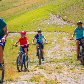
- Suitable for MTB: Yes
- Recommended season: All year
We start this itinerary at the source of La Mena (Pantano de Escales), located at kilometer 345 of the N-260 road.
From the source of the Mena to the Pont de Suert
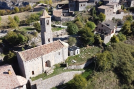
Up to the Pont de Suert, the route has special characteristics in terms of the inclination and the route. We are walking along an ancient cattle road or ravine that guides us to the Pont de Suert in front of the Wildlife Recovery Center, from where we go, along the river bank, to the old town that we can visit. The Ribagorça Sacred Art collection and the original New Church are very interesting.
Upstream we will find the hermitage of the Virgen del Remedio and its beautiful stone bridge. If we leave the itinerary and cross it, we will reach Castilló de Tor.
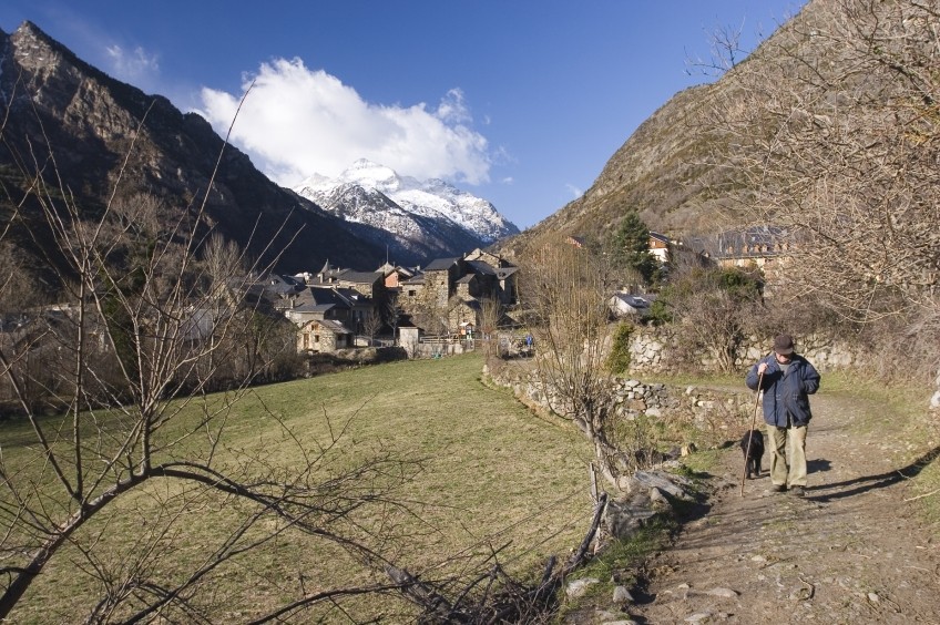
From Castilló de Tor to Cóll and Saraís
We continue our path through the forest, with centenary oaks that accompany us to the Salencar de Llesp, a humid area formed by a lock that has an observation point for waterfowl. Walking along the same bank, we move away from the town of Llesp, which is on our left, and further up we feel how the Noguera de Tor manifests the loud noise of its waters.
We descend along the rural path (paved) that takes us to the Saraís Bridge, which is approximately halfway there.
On the left, we have the picturesque town of Cóll and, on the right, the uninhabited town of Saraís which, outside of the itinerary, is accessed by a beautiful path between terraces. We glide comfortably along the riverside path. On the other side of the river we see the Cabanasses and, elevated, the town N-23 de Cardet.
From Tor to Cóll and Saraís in the Barruera Valley
The valley opens before us to the Salencar de Barruera. It is a wet area also formed by the construction of a lock.
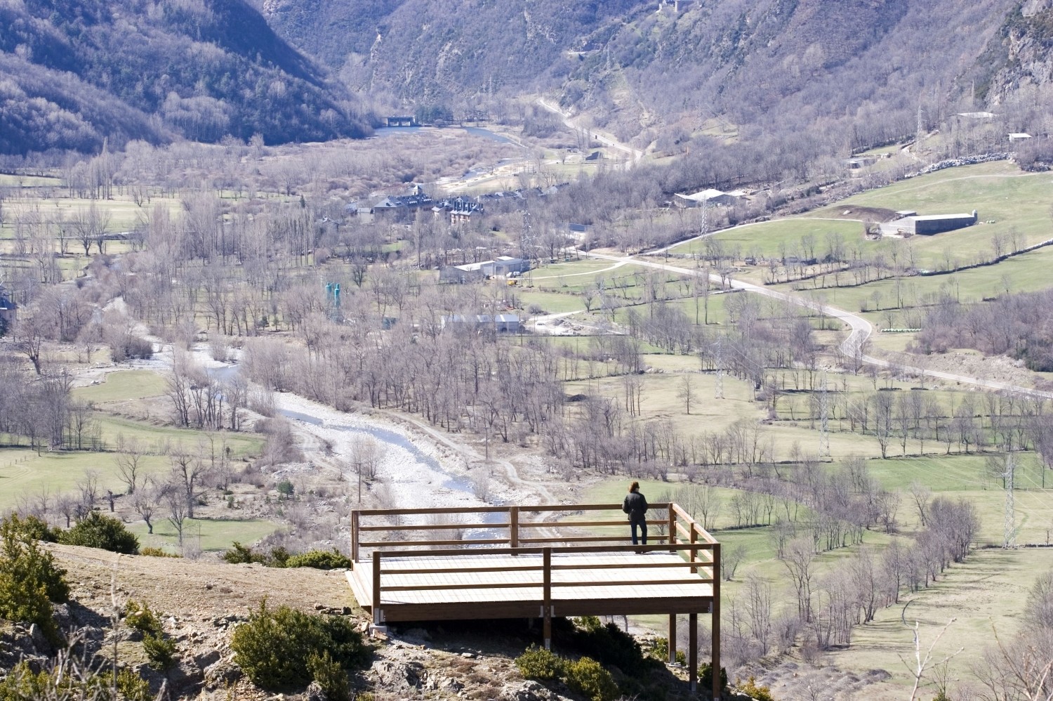
Walking in it we discover small itineraries with viewpoints and points of observation of aquatic birds.
A Barruera, the isolated church of Sant Feliu and the old town suggest that we come closer.
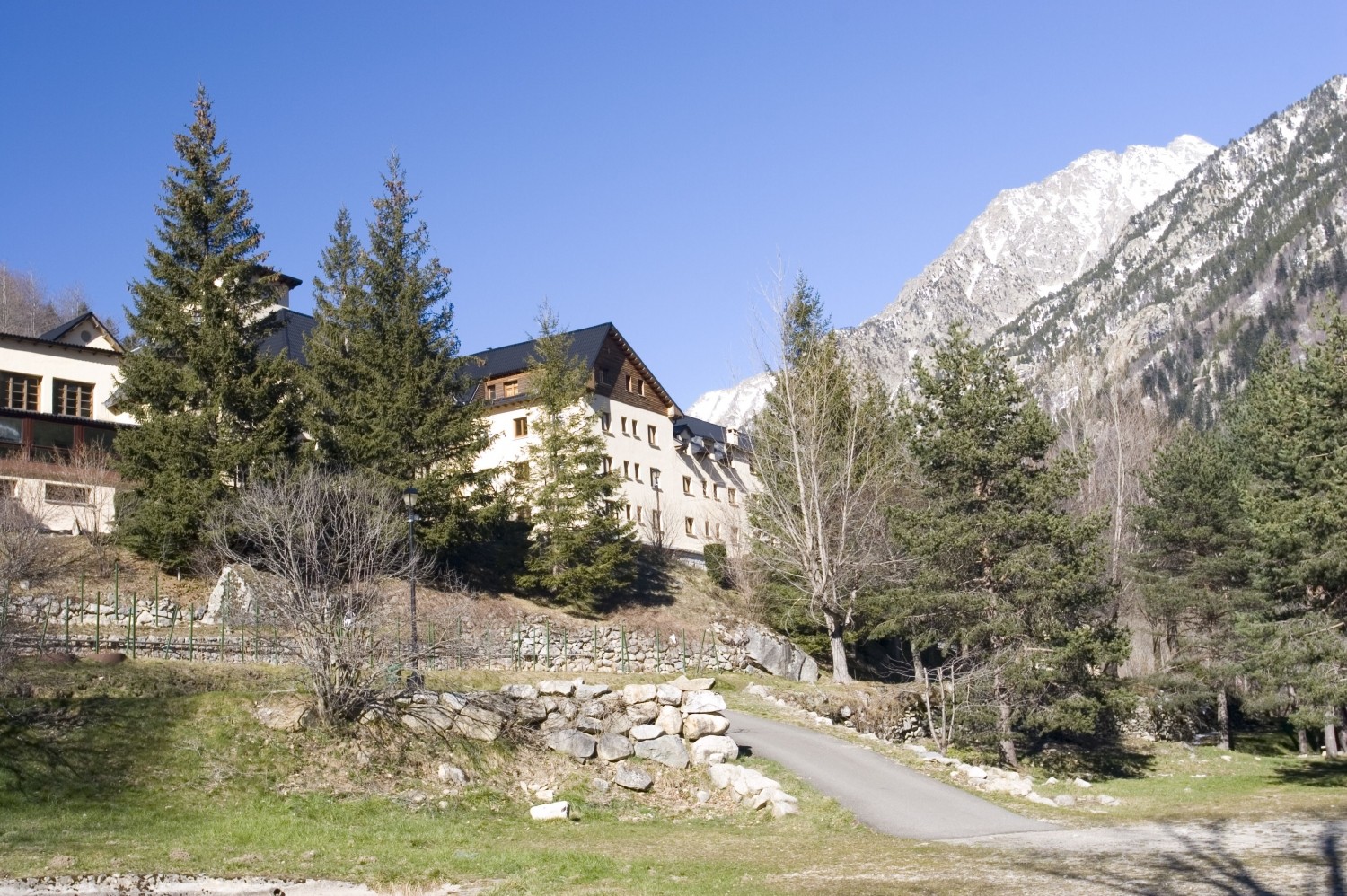
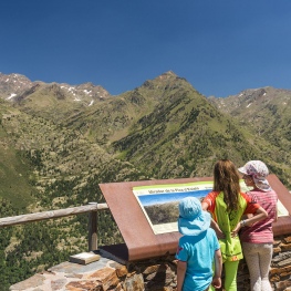
When we get to Boí we enjoy a splendid landscape at the viewpoint of the valley and we can enjoy an exceptional traditional path. We cross the town in front of the church of San Juan and continue along the magnificent path of San Pedro, which we will undo a bit along the road to gently ascend the shadiest margin of the valley between beech, pine and fir trees in the Caldes de Boí.
recommendations
This itinerary can be started from any of the towns that crosses it: the Pont de Suert, Castilló de Tor, Llesp, the Bridge of Saraís, Barruera and Boí.
The entire route is signposted with follow-up posts. There are also directional signs in the most troubled places.
Remember to bring good shoes, suitable clothing and water.
Do not forget to take a camera, binoculars and a map of the area.
La Alta Ribagorza has an invaluable historical-artistic heritage spread throughout all the towns. Find out!
The Camino del Agua has been designed to be used specifically for tourist and recreational uses, therefore, traffic along its entire route is limited to the following possibilities:
- Walks and excursions on foot.
- Despite the fact that a good part of the path can be done by bicycle, in several sections the path runs through narrow paths, which require a certain technical level and which can make the passage of bicycles incompatible with that of users on foot.
- Only some very specific sections can be done on horseback, so it is not possible to define the entire trail for this practice.
- The use of the Camino del Agua is incompatible with the passage of motorized vehicles.
Source: Regional Tourist Board of Alta Ribagorça

What to do


Estació de Muntanya Boí Taüll
La Vall de Boí (a 6.3 Km)Located in the heart of the Lleida Pyrenees, the Boí Taüll mountain…

Turisme Alta Ribagorça
Discover Alta Ribagorça. A unique natural environment in the world through the…
Roger Gras | Guia Aigüestortes
La Vall de BoíRoger Gras is a local guide specializing in personalized activities in the…
Turisme al Pallars Sobirà
(a 29.1 Km)Come and discover the highest peak and inhabited town in Catalonia, the…
Where to eat
Roch Hotel - Restaurant
Sort (a 25.5 Km)A small, family-run rural hotel, very welcoming, where its owners (Xavi and…
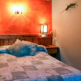
Where to sleep
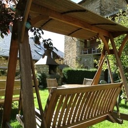
Roch Hotel - Restaurant
Sort (a 25.5 Km)A small, family-run rural hotel, very welcoming, where its owners (Xavi and…
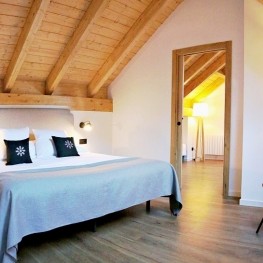
Hotel Lo Paller
Alt Àneu (a 28.8 Km)Mountain Hotel, located in the town of Valencia d'Àneu, halfway between the…
Hotel i hostal Vall d'Àneu
Esterri d'Àneu (a 29.5 Km)Two different buildings that you can enjoy 100%, whether you stay at…