From Osor to Sant Miquel de les Formigues
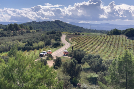
Osor is a municipality in the district of La Selva, the term is a magnificent valley with unique beauties that can be seen performing pleasant walks.
Osor Valley is characterized by rugged terrain that is surrounded by the mountains of the Puerta Barrada, Sant Benet, Coll i Sant Gregori and Solterra massif and bathed by the Ter river.
One of the most rewarding for the senses and highly recommended routes is the ascent to the highest peak of Sant Miquel de les Formigues, from where you can enjoy a spectacular landscape of Guilleries.
This route linking the geographic point with the town of Osor is circular, but the rise and fall on top is made by the same place, may be performed in about six hours and involves no great difficulty, although it should be fine footwear.
The route traces a journey of about 21 km which runs mainly along a track.
The starting point and the home of Bayer
 Although the ascent to Sant Miquel de les Formigues can be started from different points on this route is proposed to carry it out from Osor, where you can park your vehicle.
To follow the right path must go back down the road towards the village of Angles up to a forest track signposted with a green sign and is a few meters, about 200, left out of town. 178 or Serrallonga path, which coincides in this first part of the route with - at this point the red and white signals Long Distance Path GR continue Bandolero Serrallonga route.
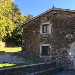
Following the address is passed by the house of Bayer, located 25 minutes prior to the beginning of the route. It is an abandoned house on three floors, windows homers and semicircular door lintel. Also, later, we can see the house dels Gelats, from where you can see the top of San Miguel on the right.
 After the home dels Gelats, signaling that we follow are the points of pink or fuchsia, will not neglect this indication until you find the signs on the road to Sant Miquel de les Formigues or Solterra.
It should be noted that the first section of the route follows strong gains, as the ascent to the top is done.
Source Sa Guarda
In this first installment of the ascension, once the House of Ice and following points?? or fuchsia pink for a while, is the road leading to the top of San Miguel and follow the path from the Source of the troughs. This new trail is marked with green metal signs to follow up direction until you reach the Source Sa Guarda.
 The Source Sa Guarda is to the right of Puig Sa Cadires and is a crucial point of the route. From this place, namely a few meters before reaching the source, a narrow path into the forest, to the left, which is a sign that informs the distance to the top is less than a kilometer.
This last stretch to reach Sant Miquel de les Formigues is very rewarding and beautiful, and that runs through a beautiful forest where dominate beech, oak and chestnut trees.
Sant Miquel de les Formigues the top
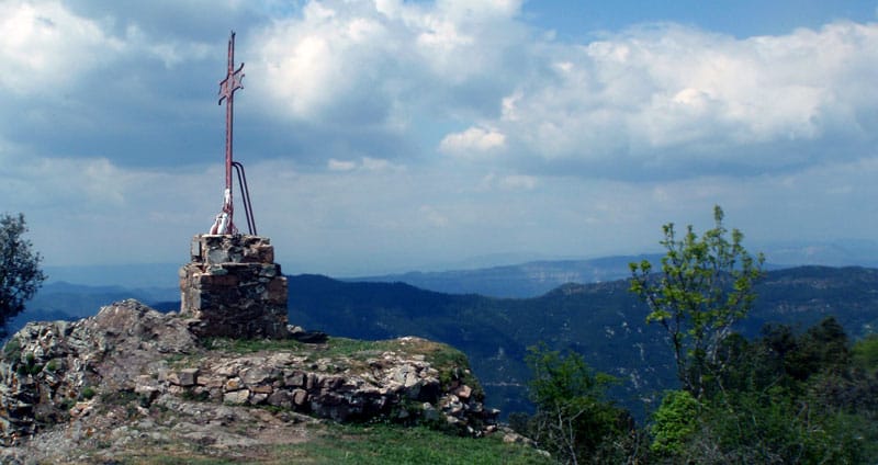
 Sant Miquel de les Formigues or Solterra is the highest peak of the Guilleries, located between the towns of Osor and Sant Hilari Sacalm, where you can get panoramic views of Pedraforca, Montseny, the Angels and all the plain of Empordà.
The summit is 1,202 meters above the sea level and is called Sant Miquel de les Formigues due to the large number of these small insects found at this point in late summer and autumn.
The role filled by flying ants in this top is so significant that it has located a metal cross with three large ants dimensines at its base.
 Some remains of the walls and the base of the round tower Castle Solterra, we find documented from the year 929 is also preserved, although it is unknown when it was built; This castle was also named to the top of San Miguel "Solterra". The castle passed from hand to hand: 929 belonged to the Counts of Barcelona, ?? and then passed to the monastery of Sant Benet de Bages. Solterra Castle had a military use until the thirteenth century and later, a chapel dedicated to St. Michael, and remained active up until 1910.
Back
The last piece of road that have reached the top to return to resume brands Long Distance Path, in this case on the left is redone to finish the route and return to the starting point.
 On the way back he will go along with three houses: the Riba d'Amunt, La Riba d'Avall and finally Ripoll house.
Once dropped approximately 2300 meters we will find an indication that details a distance of 8 km to Osor. At this point follow the GR-83 path that leads to the Riba d'Amunt where we recommend a stop to observe Nafré Harbour views, the mountain of San Gregorio and Puig d'Afrou.
Must be identified in the vicinity of the house wooden sticks marked with a diamond green color, which will be the new indication to follow from now and we drive through the forest through steps carved strains.
This signaling is not abandoned until we find the path from the source of the Virgin where we find a poster that tells us if we continue on the right path towards Osor.
 In a few minutes turns her back on track by the GR that had been abandoned in the Riba d'Amunt and take us to the bridge below Ripoll where there is a fork where we follow the path that descends to the left and where you keep the indications of GR and green diamonds seen before.
On the left you will see the most Ripoll and Can Cercenedes. Half an hour after passing in front of these buildings link the route with the cement path that leads us once again to Osor.
What to do
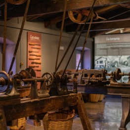
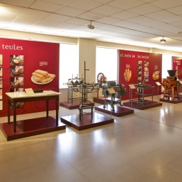
Museu Etnològic del Montseny
Arbúcies (a 7 Km)Discover the Ethnological Museum of Montseny, La Gabella, an exhibition, conservation, dissemination…
Museu Trias de la Galeta
Santa Coloma de Farners (a 13.6 Km)The Trias de la Galeta museum is the fruit of the Trias…
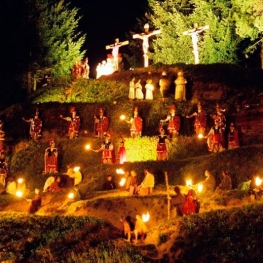
Associació del Via Crucis Vivent
Sant Hilari SacalmFor more than three centuries, Sant Hilari Sacalm has celebrated its live…
Where to eat
Braseria Les Comes
L’Esquirol (a 18.4 Km)Located on the premises of the Anigami Adventure Park, they offer menus…
La Calma, el Bellver
Tagamanent (a 24.2 Km)At the Masía Restaurante El Bellver, from 1:00 p.m. to 3:30 p.m.,…
Where to sleep
Casa de colònies La Traüna, Fundesplai
Fogars de Montclús (a 14.8 Km)La Traüna is located in the municipality of Fogars de Montclús, in…
Càmping El Pont de Barcelona
Vilanova de Sau (a 10.6 Km)The El Pont campsite is located in the heart of the Guilleries…
Casa de colònies Els Porxos, Fundesplai
Vilanova de Sau (a 13.3 Km)Els Porxos is located in the Vilanova de Sau municipality. It is…
Can Baldiri
Santa Coloma de Farners (a 9.6 Km)Currently Can Baldiri is a home for tourist use by groups of…


