Route Maçanet de Cabrenys - Las Salinas
This itinerary links two of the most important Long Distance Trails, the GR-11 and its French counterpart the GR-10, which connect the Mediterranean Sea with the Atlantic, from the Basque Country to Catalonia. The one-way distance is about 6.5 km, with an accumulated altitude difference of 876 meters. The route can be done with an approximate time of 1 hour and 50 minutes.
We left the Tourist Office of Maçanet de Cabrenys and took the cobblestone climb of Can Barris. We continue along the path and pass in front of the restaurant. Then we take the path of the orchards until we find the street that goes to Can Montada. Across the street, we found a post and an information panel. We continue along the road until we find the road again. At this point the road separates from the Local Path of the Can Poquet Bridge. We crossed the street and headed towards the Mas Can Gall.
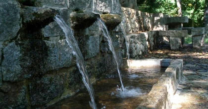
 Here the road climbs through the meadow and passes right by the side of the house, heading to another called Las Casotes, where the road turns right towards the Riera de Ardenya. We crossed the riverbank and found the Fuente del Fil just on the edge of the forest track. We continue up the track next to the riverbank until we find a sign indicating Las Salinas. Just above this sign, the path goes through White Rocks. Once up we find the Collada de Calabuig. We follow the forest track marked at each crossing by the tracking sticks, until we find again the path that passes through the holm oak woods and crossing the tracks. Here we are halfway, and the road goes up encased by oak and zigzag.
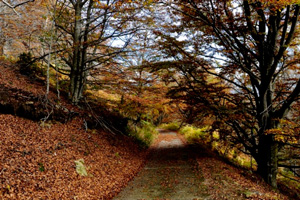 Leaving the oak forest we find the Mas Roger meadows . The Roc of the hermit, we are on the left taking a very short path to find the rock where there is a magnificent view of Maçanet. Let's go back to the meadows of Mas Roger, which is just to the left, where the fountain and the house are. We continue up the meadow until we find some very large pines where the road is already flat, and where we find the road that goes up from the Vajol and the Cabrera Castle. At this point we find several signs of different routes.
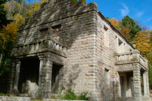
We cross the road and we go through the pine forest towards the shore of Clot de Las Salinas. We cross it and go up to the source that is on the right. We climbed the stairs and arrived at the Sanctuary of Las Salinas. To finish climbing the Collada de los Pozos we cross the parking lot and go to the cave. Just before the Cave, we take the path to the right and, passing through the middle of the beech trees, we will reach the Collada del Pous. To link with the GR-10 (French Grand Route), you must go to the other side of the fence. This yarn indicates the border line between the two states.
Source: Municipality of Maçanet de Cabrenys
You may also be interested in: Go hiking and get to know Catalonia on foot | Walking routes in Catalonia

What to do
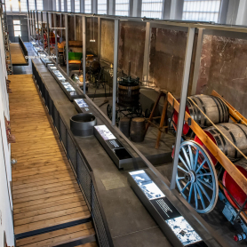
Espai Museístic Vi.Vent
Capmany (a 14.1 Km)The Vi.Vent Museum Space in Capmany is much more than an exhibition…
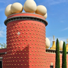
Teatre-Museu Dalí
Figueres (a 21.7 Km)Get to know the artist hidden behind the facade of his mustache…
Where to sleep
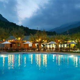

Càmping Bassegoda Park
Albanyà (a 9.7 Km)Enjoy the sky and the stars in a 1st category family campsite…
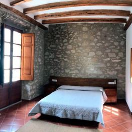
Hostal Can Xicu
Capmany (a 13.9 Km)Can Xicu, restored in 2017, preserves the medieval feel of the house.…
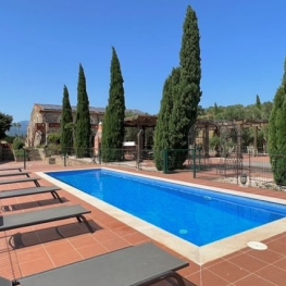
Mas Renart
Mollet de Peralada (a 20.5 Km)Enjoy and relax at the Mas Renart Rural House. For groups and…
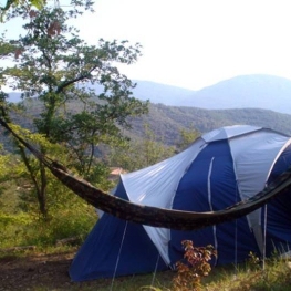
Can Banal Natural Càmping
Montagut i Oix (a 21.2 Km)Can Banal is as much a campsite as it is a hostel…