Comabona from El Prat de Aguiló (circular)
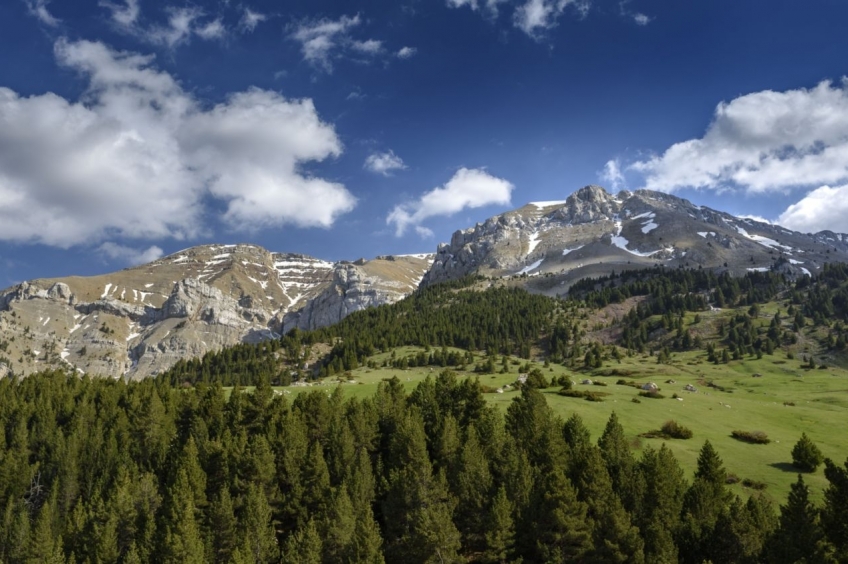
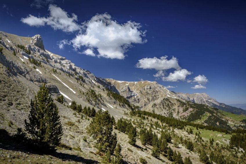
The north face of Cadí is one of the most emblematic areas of Cerdanya. The limestone nature of this massif makes the north face look very rugged and alpine. Comabona is the highest peak in the eastern sector of Cadí and is one of the essentials in the mountains due to its ease of access, but also for the views and the possibility of crowning it with a circular route.
- Difficulty: easy-medium. No notable technical difficulty.
- Unevenness: 744 m of accumulated ascent
- Time: 4h 40 min - 5h (total). Partial: 1h to Pas dels Gosolans, 50 min to Comabona, 30 min to Coll de Tancalaporta, 20 min to Pas del Bou (crossroads with Cavalls del Vent) and 1h 40' to the car park.
- Kilometers: 10.8km
Variants: The Comabona can also be ascended by the berguedà slope from the Coll de la Bauma, going up the Clot de Comabona. You can also go up from the Coll de les Bassotes going up to the Sierra Pedregosa. Other possibilities of crossing would be to consider the summit while following the Cavalls del Vent route or, if you want a steeper slope, climb Comabona from the Bastareny valley, from where there would be almost 1,500 meters of slope.
We will arrive at the foot of the Prat de Aguiló refuge following a forest track that leaves Montellà. Previously, we will have taken a road from Martinet in the direction of Montellà. The forest track is in good condition, although with a car it will be necessary to watch with the bumper. In winter, depending on the snow, access can be quite long (11.2 km of track from Montellà).
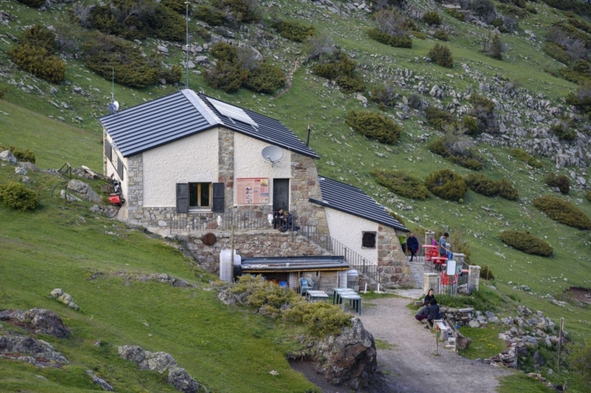
Already in the small car park before the refuge, in less than 10 minutes we will stand in front of the Prat de Aguiló Refuge. From this point, we take the path that follows the Cavalls del Vent route up to the Gosolans pass. In this section, we will find both the red dot marks of the Cavalls del Vent and those of the PR-C 124 that continues to Saldes.
The first stretch of ascent will go through stretches of forest and meadows until we reach the foot of Pic d'Aguiló, where the forest gives way to rocky terrain. The path winds to smooth the slope of the steep climb.
We will gain quite a bit of altitude in a short time and in just over an hour we will have reached the Gosolans pass. At this point, the Coma dels Cortils, the Serra Pedregosa and, jutting out a bit, the north ridge of Pedraforca open up before us. With luck, we may also see some roe deer.
At this point, we leave the marks of Cavalls del Vent and PR and continue to our left (East) to head to the top of Comabona. This section, being a wide and open section, will not follow an obvious path either. So, during this time, we are going to follow the crest with gentle slopes and impressive views towards the north slope.
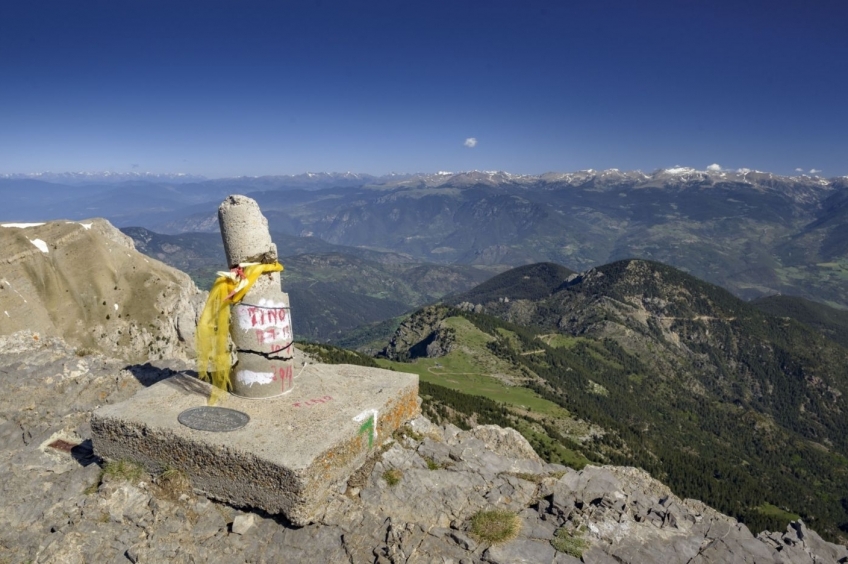
About 45-50 minutes later, we reach the top of Comabona, from where we enjoy a wide panoramic view of the whole of Cerdanya, Alt Berguedà and some of the Ripollès peaks and the Aigüestortes area. You can even see Pica de Estados and Turbón, in Aragón if it's a good day.
To go down, we will choose to make a circular tour to Coll de Tancalaporta and Pas del Bou. We will go down following the ridge until we reach the Terrers pass. At this point, we will follow the marked path of the GR 150.1 (which crosses the entire Cadí along the crest). Shortly after, the path flanks Puig de Terrers on the north side and reaches the Tancalaporta pass. Traditionally it was said that at this point there was a gate that prevented the cattle from Berguedà from crossing to Cerdanya and vice versa. Right now it is a wide open pass without any fence.
We now continue along the eastern slope of the Cadí bordering the top of the Tortuga. The view from here shows us the entire Bastareny valley, without a doubt spectacular. At the bottom of the valley you can see the town of Bagà, 1,500 meters below.
Arriving at Pas del Bou, we lose a bit of altitude until we find the Cavalls del Vent path again, which comes from the Sierra de la Moixa. Now we turn left, heading north and face the flank along the north face of Cadí as far as Prat de Aguiló. Throughout this return, we will again follow the red marks of Cavalls del Vent.
Before, however, we will arrive at a small hill with a door from where the view opens to the west and we will perfectly see the Prat de Aguiló refuge. At this point, it is worth stopping for a moment to enjoy the views: the photo is almost a must.
To return to Prat de Aguiló we first enter the black pine forest while we see the first vertical cliffs of Cadí on our left. Next, we lose a little height to flank a long ravine, crossing stretches of scree and streams.
Finally, to reach the end of the route, we only need to overcome a piece of ascent that goes up, first through the forest, then through alpine meadows until it gradually opens up when we reach the Prat de Aguiló refuge. We have completed a beautiful circular with some landscapes that, at the beginning of June, show their full dress: green in the meadows and patches of snow on the peaks.
Photographs and text authorship: Sergi Boixader
What to do
Centre Picasso de Gósol
Gósol (a 10.6 Km)Pablo Picasso, who was 24 years old at the time, decided to…
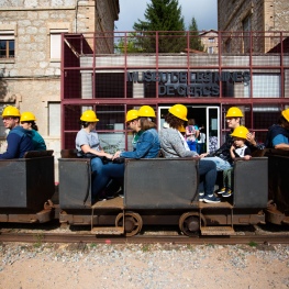
Museu de les Mines de Cercs
Cercs (a 9.2 Km)Dedicated monographically to coal, it is a museum of technique and history…
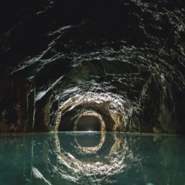
Mina de petroli dels "Francesos" de Riutort
Guardiola de Berguedà (a 11 Km)Located within the perimeter of the Cadí-Moixeró Natural Park, it is one…
Where to eat
El Recó de l'Avi
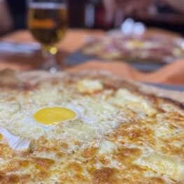
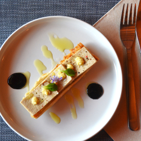
Guardiola de Berguedà (a 7.6 Km)Typical homemade cuisine, with oak-grilled meats, a wide variety of tapas and…
Hostal la Muntanya
Castellar de n'Hug (a 19.2 Km)Family hostel located in Castellar de n'Hug. It offers various accommodation options,…
Bar Restaurant Xato
Gironella (a 25.3 Km)Order pizzas, burgers, tapas... at Xato Bar-Restaurant and we'll deliver them to…
Taverna de La Vansa
La Vansa i Fórnols (a 25.4 Km)A self-managed mountain tavern in Espai La Vansa, ideal for enjoying local…
Where to sleep
Hotel Casa Duaner
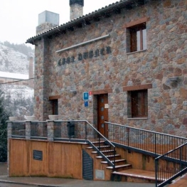
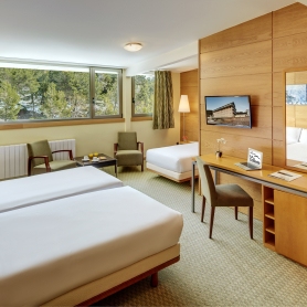
Guardiola de Berguedà (a 7.6 Km)The Casa Duaner Hotel in Guardiola de Berguedà offers modern facilities, a…
Hotel & Spa La Collada
Toses (a 11.4 Km)Hotel & Spa La Collada, a 4-star hotel with 90 rooms located…
Hostal Cal Franciscó
Gósol (a 10.4 Km)The hostel is located at a crossroads that leads to different routes,…
Cerdanya Viva Ecoestades
Prullans (a 14.7 Km)You imagine a place with paradisiacal views, to be able to choose…

