


Who has not climbed Matagalls?
Certainly, it is one of the most emblematic peaks of Catalonia, but it must also be said that a good part of the hikers always go the same way. The route up Matagalls from Coll de Bordoriol is much less common and, not to say, an ideal way to do it, especially in summer since it is a cool and shady route that passes through very beautiful beech groves and forests.
- Difficulty: Easy. No notable difficulty, only a steep slope on the way up to the Font dels Mosquits.
- Unevenness: 640 m of accumulated ascent.
- Time: Between 3:40 and 4:30, depending on the stops. Partial: 2 hours to the top one way and 1 hour 40 minutes back.
- Kilometers: 10.5.
- Variants: As we have mentioned, the Matagalls can be climbed from many other points: from Collformic is the most common, but it can also be done from Sant Segimon, from Viladrau, from Sant Marçal or from Sant Bernat (to the south).
We start from the Coll de Bordoriol car park along the track that goes into the holm oak forest. From this point, we start the Local Path SL-C 82 that goes from Coll de Bordoriol to Coll Pregon.
Shortly after, we find a detour to the right to go to the Font dels Pastors and, further on, we find the Corral de la Vila. After about 10-12 minutes, we come to a fork in the track where we have to choose which way to go up: we opt for the track to the right, with signs for "Matagalls por la Font dels Mosquits". This section is much darker, but it is straighter to climb. It is also more varied since the other path (the one on the left) is all along the track.
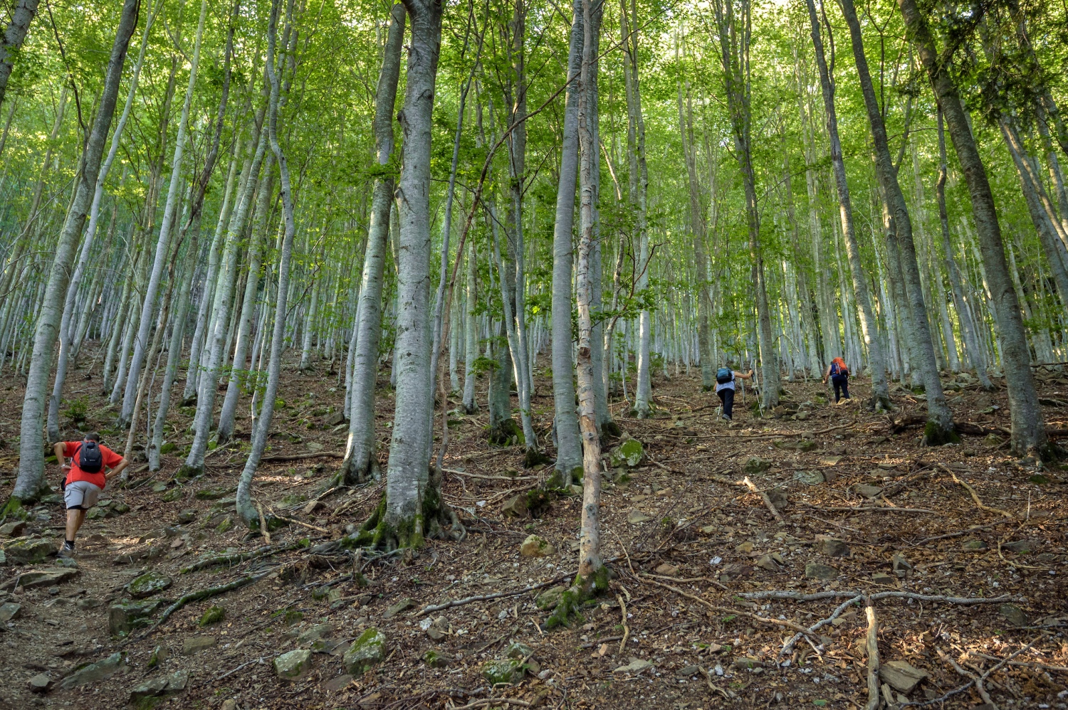
If you choose this path, we follow the track that enters the beech forest and reaches the Font dels Llops. We will find it after about 25 minutes of having started walking. Just after the fountain, we follow the track to the left that goes up to Matagalls via Font dels Mosquits. The path climbs gently along the track until we find, after about 10 minutes, a marked path on the left. From this point, we begin the ascent towards Matagalls by path.
20 minutes later, we reach an area with some small fir trees and a track that takes us to the Font dels Mosquits. This point is a cool and shady hole, surrounded by beech trees and with some fir trees around.
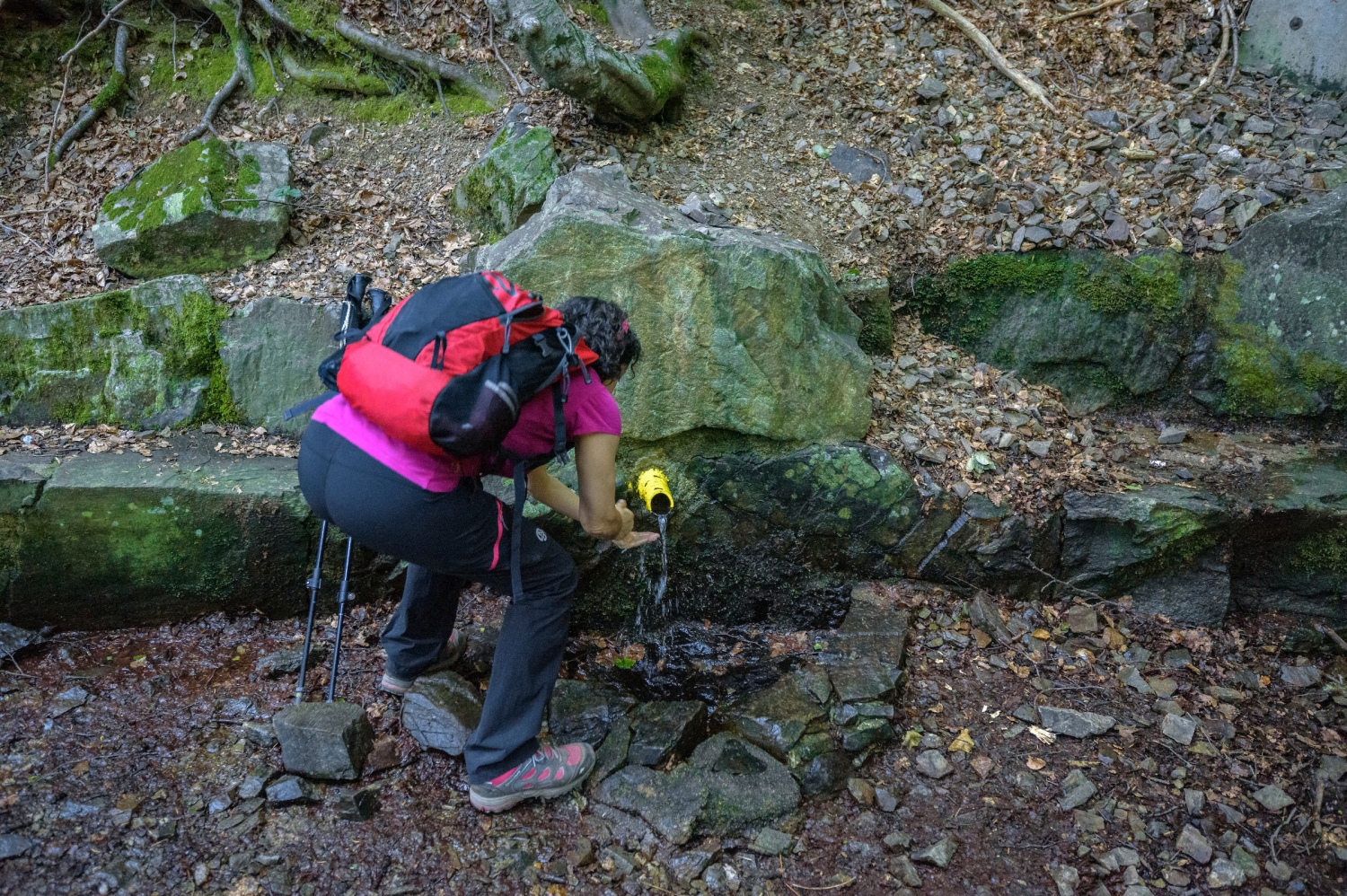
We continue along the path up the Baga del Coll Pregon, going up through an area where some fairly large fir trees appear surrounded by beech forest. The path makes loops to overcome the unevenness until it finds the track along which the SL-C 82 climbs. At this point, we can see the shape of an ancient ice pit. We only need to go up the track to the Coll Pregon clearing to link up with the path that goes up to Sant Marçal.
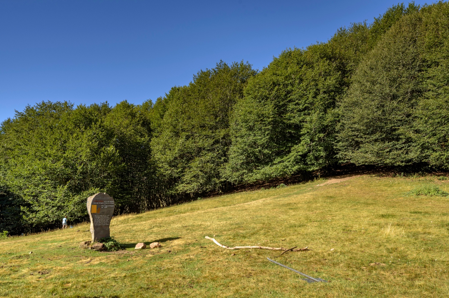
This hill is a small meadow between the beech forest and we find a monolith dedicated to Pau Casals. From here, we turn west to face the last 20 minutes of climbing to the top. We begin by the path that crosses the beech forest and, further on, we reach the most open summit ridge from the Collet del Home Mort. From this point, we already see the cross and we only need about 500 meters to reach the top.
The view from Matagalls, if the day is clear, allows us to glimpse almost the entire Eastern Pyrenees, from Port del Comte to Canigó, as well as Central Catalonia, the Transversal Mountain Range and the Coastal and Pre -coastal mountains.
To go down, we retrace our steps to Coll Pregon along the same path that we climbed. From there, we continue down north to the crossroads in the shade. At this point, if we follow the SL-C 82 downhill, we will only have to follow the track that descends to the Coll de Bordoriol. The path makes some zigzags to overcome the gap, but it goes down without shrillness, always on the track.
Just before reaching Coll de Sabenia, the views open up a bit and we see Viladrau as well as the summit and the cross. From the Coll, we cross to the eastern slope and enter a more open area of holm oak. In about 15 minutes, we will arrive again at the Coll de Joan where we continue along the track until we return to the Coll de Bordoriol.
Photographs and text authorship: Sergi Boixader
Nearby experiences
Nearby routes
The route of the bandit Serrallonga
Anglès, Osor, Sant Hilari Sacalm, Santa Coloma de Farners, Viladrau
Probably many of you have heard of Serralonga adopted the nickname Joan Ferrer Sala. Known as the Robin Hood Catalan and this character is known as the man who robbed the rich to give everything to the poor. Currently, it is considered a patriotic…
Route for adventure parks in Catalonia
Arenys de Munt, Barcelona, Cerdanyola del Vallès, Dosrius, Esterri d'Àneu, Llívia, L’Esquirol, Mataró, Molló, Porrera, Prullans, Salou, Sant Hilari Sacalm, Santa Susanna
Jumping from one tree to another, fly like a bird, feel the air and caress the cheeks, seeing everything from above, feel that indescribable feeling of living a unique experience and realize that all this have only the possibility of repeating…
Route between the valley of Camprodon and Alt Vallespir
Molló
This spectacular circular route through several villages of the Camprodon Valley has a distance of 10.75 km. The itinerary begins in Espinabell, in the church of Mare de Déu de les Neus, at the R-88 sign. We start!
Related routes
Hill of the Cross of Gurb from Sant Andreu de Gurb
Gurb
If La Mola is the top of the people who live in Terrassa and the Collbaix, those of Manresa, those of Vic when they want to go to a summit to do sports in their day to day, this is, without a doubt, the Colina de la Gurb cross. This watchtower…
Route of the fountains of Gironella
Gironella
The circular route of the sources of Gironella, in the Berguedà, is a route created with the aim of increasing the offer of tourist areas of the municipality and complementing the future Via Azul del Llobregat. This route, based on the…
Cabin and beech path in Setcases
Setcases
This circular itinerary takes us steeply uphill in the Cabañas sector, where in addition to the agroforestry mosaic and old paths flanked by stone walls and grass meadows surrounded by naturalized hazelnut fences, we will enjoy extensive…
Holidaymakers and Modernism in Hostalets de Pierola
Els Hostalets de Pierola
The modernist heritage and magnificent views of the Montserrat mountain are the main attractions of this itinerary that runs through Hostalets de Pierola. An easy and flat route that brings us closer to the source of the Ocata, passing through…
Events
Forest week in Sant Celoni
16 OctoberAmateur Theatre Showcase in Sant Gregori
16 OctoberEuropean Heritage Days in Collbató
16 OctoberRACC Costa Dorada Rally in Salou
From 16 to 17 OctoberZim Zam Cassà - Cassà de la Selva Urban Art Festival
From 16 to 17 OctoberEmbarrats Fair in Sant Joan de Vilatorrada
From 16 to 18 OctoberFish and Rice Gastronomic Days
From 9 to 18 October








 Sustainable turism
 Biosphere