Route to the hermitage of Sant Cristòfol del Bosc in Llambilles
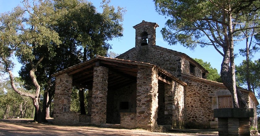
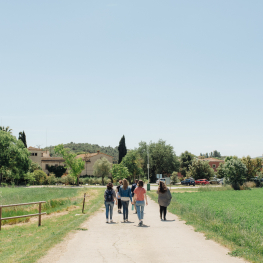
This itinerary in the municipality of Llambilles allows you to visit the hermitage of Sant Cristòfol del Bosc. The route is very representative of the different types of forests that can be found in the Gavarres: holm oaks, cork oaks, pine forests, chestnut groves and riverbank forests.
The total distance of the circular loop is 7.76 km, with a height of 164 meters.
At the height of the cemetery of Llambilles we leave the car and follow the road until we find the Arroyo del Bugantó that we follow until we find a small bridge that we cross.
Immediately afterwards we take a path to the right that continues closer and closer to the stream until it veers off to the left into the forest. A few meters we find a path on the right that we can deviate to visit the stone of thirty crosses.
This narrow path goes up in the middle of a dense forest of oaks and pines. Just over 250 meters away, we find this mysterious stone after slightly deviating to the right. Returning to the initial path, we continue until we find the source of Sant Cristòfol, a place where we can observe a good representation of typical riparian forest plants.
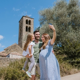
 We follow the stream until we find a wide forest track that we climb to the left and take us to the hermitage of Sant Cristòfol. The contrast between the wet forest and dry forest is very clear in this itinerary. This church is already cited in 882 and its history is loaded with moment of splendor and various incidents. The current construction is of a single nave, with exposed stone and a semicircular apse. On the south wall there is attached the hermit house, quadrangular. The main door is protected by a portico and the work culminates a small belfry.
Around this church there is a recreational area. We take the forest track that goes to the right and about 500 meters we take the detour to the left which will soon descend to more open fields to go back up in the middle of forest.
We continue until we find Can Nino which is on the right hand side near the road and after about 700 meters we are in the middle of fruit fields on both sides and continue until we find again the Bugantó stream and the asphalt road from the beginning.
To return to the starting point, go to the right to the parking lot.
Source: Regional Council of Gironès
What to do
Experiència #APROP - Llet Nostra
Cruïlles, Monells i Sant Sadurní de l'Heura (a 12.8 Km)Live the #APROP experience and discover everything that is hidden behind a…
Castell Gala Dalí Visita Guiada
La Pera (a 14.5 Km)Enter a world of romanticism and surrealism and enjoy a unique cultural…
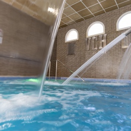
1881 Hotel Balneari Vichy Catalan
Caldes de Malavella (a 10.4 Km)The bicarbonated and sodium thermal waters of the Vichy Catalán Spring emerge…
Where to eat
L'Espai Gastronomia
Tossa de Mar (a 23.4 Km)Enjoy a place where laughter, festivity, and gastronomy unfold around a large…
Where to sleep
Casa Rural Mas Masaller
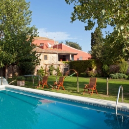
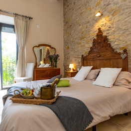
Cruïlles, Monells i Sant Sadurní de l'Heura (a 13.6 Km)Isolated farmhouse almost 3 kilometres from La Bisbal de Empordà. The farmhouse…
Apartaments Rurals Mas Tarrès
Madremanya (a 11.3 Km)Discover Mas Tarrès, your adults-only rural retreat in Madremanya!
1881 Hotel Balneari Vichy Catalan
Caldes de Malavella (a 10.4 Km)The bicarbonated and sodium thermal waters of the Vichy Catalán Spring emerge…
La Plaça de Madremanya
Madremanya (a 10.8 Km)Hotel in an old farmhouse s. XIV-XV located in the center of…

