Forallac
Forallac is a municipality in the Baix Empordà region in the province of Girona.
The municipality of Forallac was formally constituted in 1977 from the aggregation of the municipal terms of Vulpellac, Fonteta and Peratallada.
The aggregation resulted in the constitution of the fourth largest municipality of the Baix Empordà in extension, with a global area of about 50 square kilometers.
Vulpellac
The former municipality of Vulpellac had, before the annexation with Fonteta and Peratallada, 4.29 square kilometers of extension. The term includes a stunted area to the west and the NW with the highest point to Mount Negro (109 m high), which is part of the Sierra de Sant Ramon, bordering the neighboring municipality of La Bisbal.
The remaining part is flat and drained by the Fonteta stream, from the Daró basin, which descends from the Gavarres. The Palamós road in Girona, through La Bisbal, crosses the municipal territory from east to west. In this place starts the local road of Vulpellac in Pals.
Fonteta
The town of Fonteta is located at the foot of the Gavarres, practically at the entrance of its forests, just to the right of the stream that bears its name. The urban nucleus forms a compact set of narrow streets in the surroundings of the parish church of Santa María. Some of its streets still preserve the old cobblestone and give it a characteristic rural aspect of a markedly Empordà town. It is crossed by the old royal road that linked the Bisbal with the coast, passing through the old neighborhood of Fitor. This fact confirms that Fonteta has been a strategic point in the communication network of the area over the centuries.
Peratallada
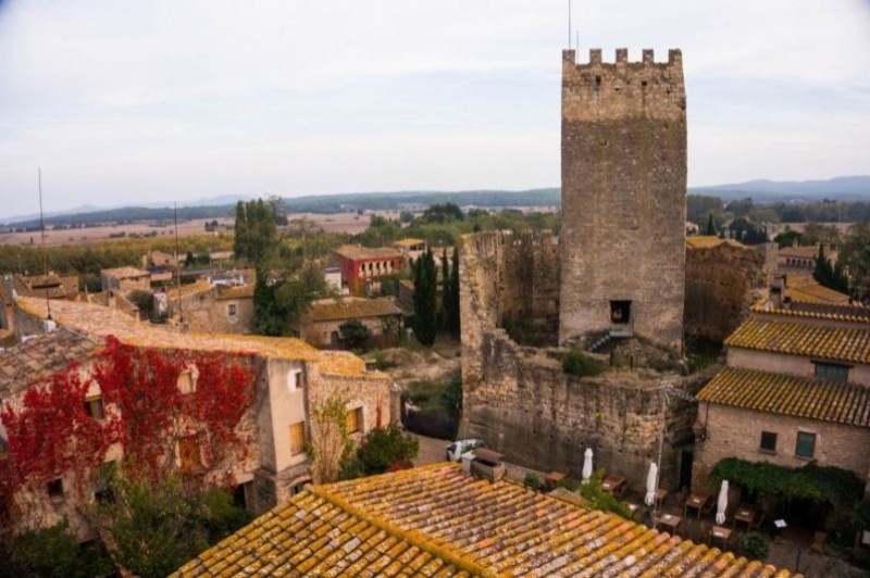
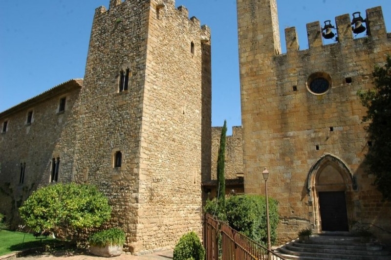
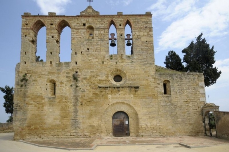
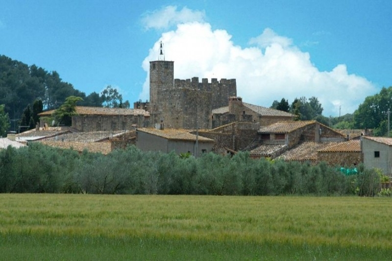
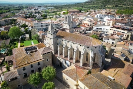
The town of Peratallada is located at the point of contact of the hill area of Las Gavarres and the lands of the Baixempodenesa plain, to the left of the Grossa stream. The town, which is declared a historical-artistic and cultural center of national interest (BCIN), is one of the most important centers of Catalonia in terms of medieval architecture. Of an extraordinary attractiveness and beauty, it conserves its old feudal aspect, with narrow and tortuous streets, with numerous entrants and salients, where it emphasizes the castle fortified with its tower of the Tribute and the palace (S. XI-XIV), the walls (s.XII-XIII) and the church of San Esteban (Romanesque of the early 13th century). It also highlights the great moat that surrounds the town, excavated in the living rock. The population is all settled on the stoneware, worked in various ways.
San Climent de Peralta
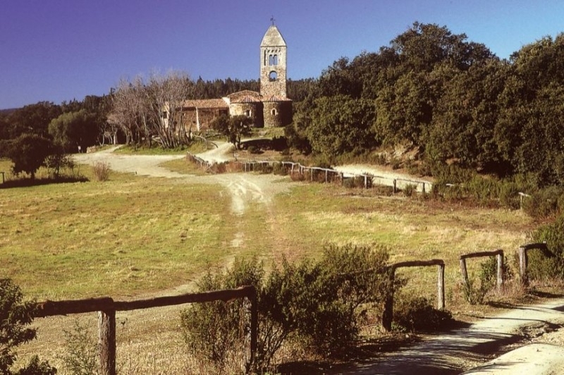
The village of San Clemente de Peralta has its origin in the old monastery located in a small and sheltered Valley of the Gavarres, in recess of tramontana. In time not very backward -s. XVIII- the church of the old monastery was abandoned and the new parish was built, about two kilometers to the east, in the foothills of the mountain range closest to the plan, where the settlement of scattered farmhouses that characterizes the place had been displaced. San Clemente should be, as Pella and Forgas pointed out, one of the first monastic, Benedictine settlements in the country.
Santa Susanna de Peralta
The term of Santa Susanna de Peralta is located in the southwestern end of the nucleus and borders San Clemente de Peralta, approximately taking as reference the current route of the C-255 road from Girona to Palamós. The settlement of the term is formed by a scattered set of luxury, some of them converted into second residences. Traditionally, the population has lived off the cultivation of the countryside.
In the lands of Santa Susanna have been found remains of a kiln that is considered pre-Roman -ibèric - by the few shreds of mud that, very cut and eroded, have been found on the edge. At the moment, these rest, that are to little distance of Can Serra, near a disused quarry, are practically destroyed.
Fitor
The town of Fitor, in the Sierra de las Gavarres, is a term of dispersed population that has ended up abandoning due to the low profitability of the exploitation of the forest. It is, we might say, the last spur of the sierra when it merges with the plan and forms a wooded peninsula, slightly sloping towards the north, of an average height of 200 meters. This forested peninsula on the plan is linked to the main mountain range by an isthmus that is the neck of the Ganga, where today runs the county road of La Bisbal in Calonge. This was not a Roman road in its time. Due to its location, Fitor has been a crossroads, connecting the Girona area with the coast and the Empordà's plan.
Canapost
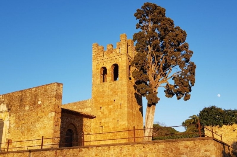
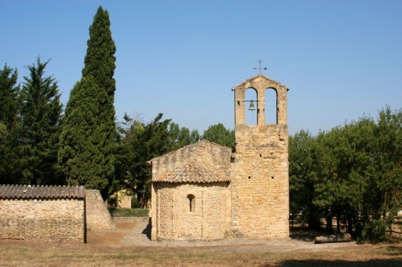
Canapost, which was part of the municipality of Peratallada before the birth of Forallac, is a small population center located at the foot of low hills, with soft and rounded shapes, in the eastern-southern foothills of the Gavarres. This nucleus is formed by a scant dozen scaffolding masias on the edge of the parish church of San Esteban, one of the most important archaeological monuments of the region. Some other villages, scattered, also belong to this parish. The village is reached by a nice road that leaves Vulpellac and leads to Peratallada and Ullastret. It is separated from the core of Peratallada by the mountain of in Torró.
Nearby routes
See all routes »- The Medieval architecture of the Empordà
- Route through the Romanesque of Empordà:… (a 1.3 km)
- Grand Tour de Catalunya - Section 5.… (a 7.8 km)
- A tour for golf players in Catalonia (a 7.8 km)
- Route with Josep Pla (a 7.8 km)
What to do
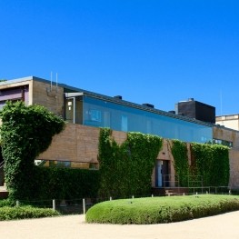
Terracotta Museu de Ceràmica
La Bisbal d'EmpordàThe Terracotta Ceramic Museum aims to preserve and disseminate the scientific, technical…
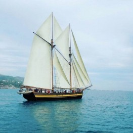
Sailing Boats and Events (Goleta Äran)
Palamós (a 14.1 Km)Experience the experience of sailing on a historic vessel. Daily departures from…
Circ Raluy
Palafrugell (a 10.3 Km)Discover the Raluy Circus and experience an unforgettable and enriching experience, culminating…
Where to eat
L'Espai Gastronomia
Tossa de Mar (a 28.9 Km)Enjoy a place where laughter, festivity, and gastronomy unfold around a large…
Where to sleep
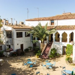
Fonda l'Estrella
Palafrugell (a 9.9 Km)La Fonda la Estrella is a? "bed & breakfast" quiet and cozy,…
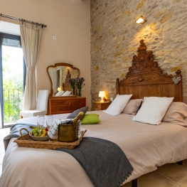
Hotel Molí del Mig
Torroella de Montgrí - L'Estartit (a 10.7 Km)We are an old mill of the 15th century restored by the…
Apartaments Rurals Mas Tarrès
Madremanya (a 10.1 Km)Discover Mas Tarrès, your adults-only rural retreat in Madremanya!
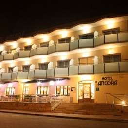
Hotel Àncora
Palamós (a 13.5 Km)Freshly prepared market cuisine featuring fresh fish from the port of Palamós…
Events
Experiences
Self-guided tour L'Estartit, a fishing village. A seafaring…
Torroella de Montgrí - L'Estartit (a 10.8 Km)

