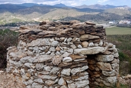
La Selva de Mar
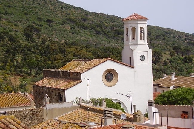
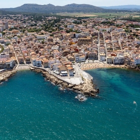
La Selva de Mar is part of the Alt Empordà region, province of Gerona. The municipal term has an extension of 7 km2 and 48 m. of altitude, which, are from below the mountain of Sant Pere de Roda. The limits of the municipal term are to the north with the Port de la Selva, to the east with Cadaqués, to the south with Roses and Palau-saverdera and to the west with Llançà.
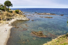
In this place we find a great wealth of landscapes, where the essence of the Mediterranean is combined with the greenery of a very unique landscape, where the Verdera mountain range rises, protecting this population from the north winds, which has some remarkable peaks, Sant Salvador (671m.) and Puig de Queralbs (621m.) with Pla d'Estar and Mas Estela. From these mountains rises the riverside of the Selva from which the coastal path continues perpendicularly along with the road until it reaches the sea, where it connects with the coastal path to Llançà.
Nearby routes
See all routes »- The monastery of Sant Pere de Rodes (a 2.1 km)
- Route through the Romanesque of Empordà:… (a 2.1 km)
- Cap de Creus route (a 2.1 km)
- Pedaling in the Empordà wetlands (a 5.8 km)
- Following the river La Mugueta (a 7 km)
What to do
Monestir de Sant Quirze de Colera
Rabós (a 14.6 Km)Far from the hustle and bustle and hidden among the majestic landscapes…
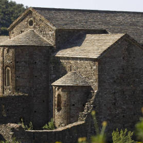
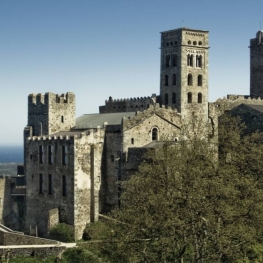
Monestir de Sant Pere de Rodes
El Port de la Selva (a 1.8 Km)The Monastery of Sant Pere de Rodes is one of the numerous…
Where to sleep
Can Gibert Apartaments Turístics
Castelló d'Empúries (a 12.1 Km)Located in the historic centre of Castelló d'Empúries, Can Gibert offers 6…
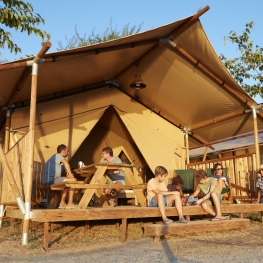
Càmping Nautic Almata
Castelló d'Empúries (a 15 Km)Náutico Almata is a family campsite located in a unique setting on…
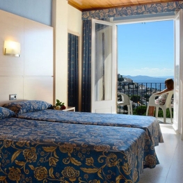
Hostal Can Palol
Peralada (a 14.7 Km)Located at the entrance of the village, just opposite Peralada Castle and…

