Serinyà
The term of Serinyà is located to the north of the Pla de l'Estany region, right on the border with the Garrotxa region, in the lower valley of the river Ser and its confluence with the Fluvià. In this place is the Serinyà lock and a power plant in operation since 1935.
The term is crossed from north to south by the regional road C-150 from Gerona to Olot.
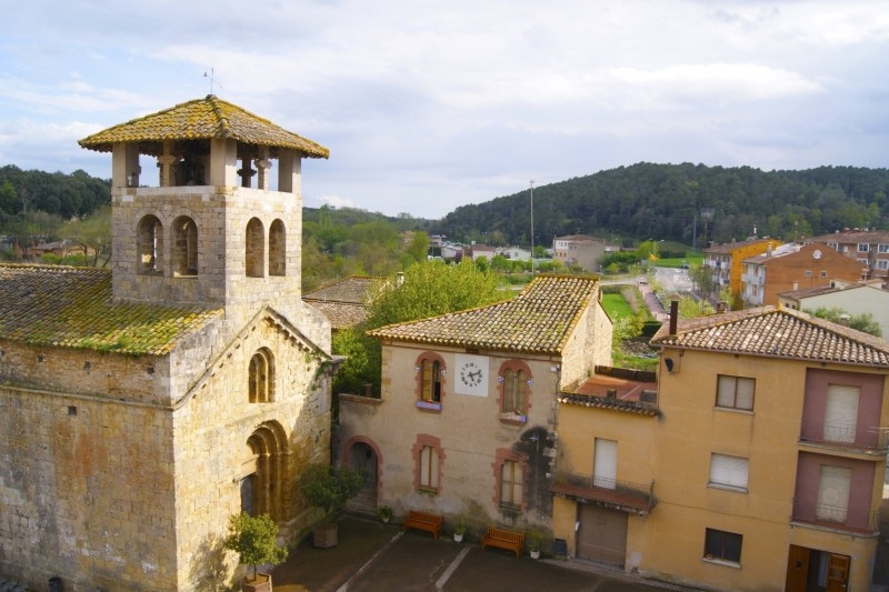
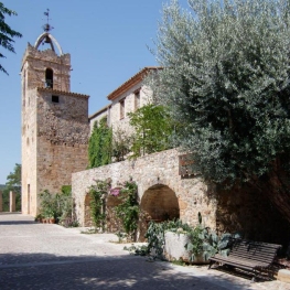
The town of Serinyà is located to the right of the Ser and is crossed by the Serinyadell.
The land is generally flat, but rough in the west by the Sierra de Boquià and the Sierra de Briolf. They drain the term, apart from the river Ser in the northern part, the Serinyadell and the Merdançà, which are tributaries.

Nearby routes
See all routes »- Volcanoes and other landscapes in La… (a 5.2 km)
- Condal Pyrenees: a tour of the medieval… (a 5.2 km)
- Grand Tour of Catalonia - Section 4.… (a 5.2 km)
- The volcanoes' kitchen (a 5.2 km)
- Route through the stone villages of… (a 5.2 km)
What to do
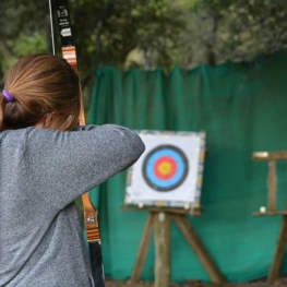
Fang Aventura
Sant Miquel de Campmajor (a 8.2 Km)If you like adventure, don't miss the opportunity to come to Fang…
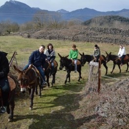
Rucs i Someres
Les Preses (a 22.8 Km)Rucs i Someres is dedicated to organizing tourist rides on Catalan donkeys…
Where to sleep
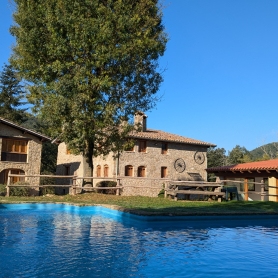
Can Xargay
Porqueres (a 7.6 Km)Can Xargay is a charming, ancient Catalan farmhouse from the 11th century,…
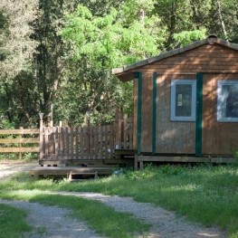
Càmping Besalú
Besalú (a 5.5 Km)Campsite located in the town of Besalú, very close to the mountain…
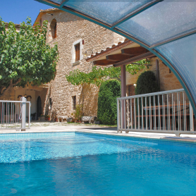
Allotjament Rural Casa Bàscara
Bàscara (a 13.6 Km)Disconnect and enjoy the tranquility and serenity offered by the Casa Bàscara…