Santa Eulàlia de Ronçana
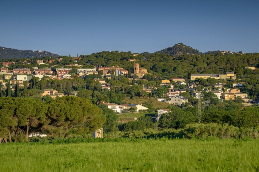
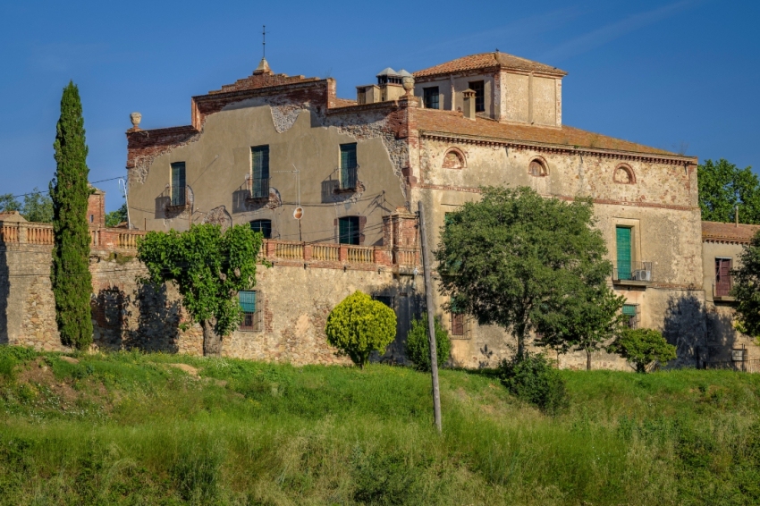
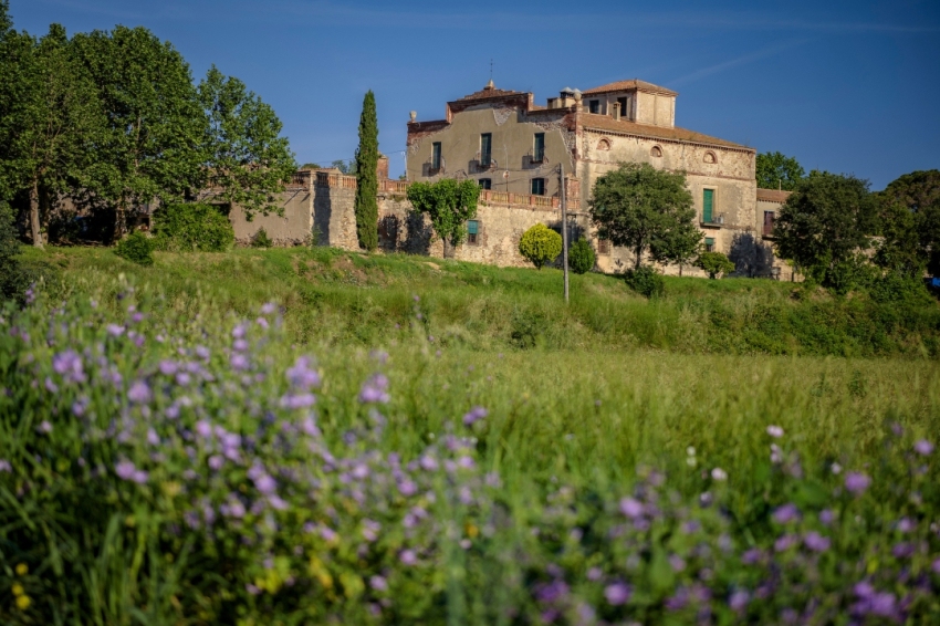
Santa Eulàlia de Ronçana is a municipality of 14 km2 located in the western end of the Vallès Oriental region, in the basin of the Tenes River, in the middle course of this tributary of the Besòs. The hills, valleys and small plains are elements that characterize the geography.
Santa Eulàlia also has other geographical features related to places in the town: we find timbas, deep and narrow hollows such as those of Can Maset, Can Just or Sant Simplici, as well as mountains, plains, etc.
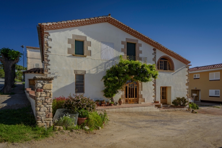
Santa Eulàlia has never had an urban centre that would allow it to be located, its silhouette cannot be distinguished from afar and there is no single road that leads there. For many years the population has lived dispersed, spread out between the plains, the mountains and the torrents. The old isolated farmhouses sheltered and protected the men and women who lived there. For hundreds of years, people identified themselves first with the house where they were born, and then with the parish where they celebrated the most important events in their lives. Their identification with more impersonal structures was quite difficult, although they existed.
In 1958, an urban development and transformation process began that continues to this day. Before the 1960s, there were already some small urban centres, or at least groups of houses, which led to the emergence of the traditional neighbourhoods of Santa Eulàlia around Rieral, Sagrera, San Cristóbal, Serrat, Serra, Valle and Bonaire.
The first residential houses were built in the 1930s, when some Barcelona families fell in love with these places. The real transformation of our municipality occurred about forty years ago. During a period of economic euphoria, Santa Eulàlia began to become what it is today. The construction of towers and chalets near the Tendes River began and soon after the first housing developments began to appear, such as San Isidro or Can Sabater.
Places of interest
Hazelnuts from Can Burguès
The main activity of Can Burguès is agriculture, in which it dedicates 26 hectares to the cultivation of hazelnuts (Corylus Avellana), spread over various plots of different ages and varieties.
Tenes River River Path
It has a length of 4,800 linear metres and is located at an altitude of between 140 and 187 metres above sea level. The Tenes River is one of the most important heritage elements of the municipality of Santa Eulàlia de Ronçana, both for its ecological and landscape value and for being a basic element of identity.
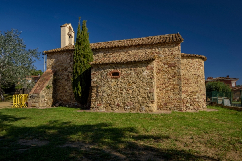
Chapel of St. Christopher
It is a Romanesque church, which has been transformed by successive reforms and the earthquakes of the 15th century.
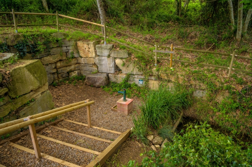
The Rector's Fountain
This fountain was very popular among the people of Santa Eulàlia de Ronçana and its surroundings, where they went to collect water, since it was of excellent quality.
The Bruguer Vell
Between Santa Eulàlia and Bigues, there is a unique corner of the Santa Eulàlia geography: the Bruguer. It is an old farmhouse, now restored, in the middle of a gentle hill that slopes down towards Bigues.
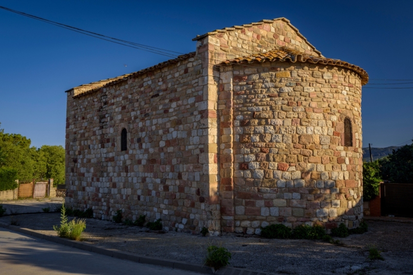
Chapel of Sant Simplici
Chapel of Romanesque origin, modified in the 16th century, as shown on the door lintel.
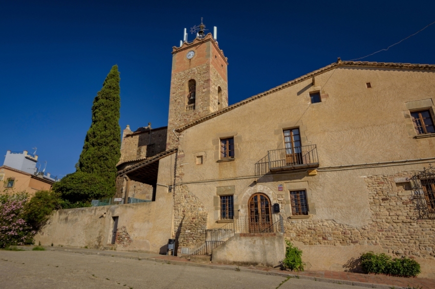
Church of Santa Eulalia
Although it seems that the church of Santa Eulàlia is of Romanesque origin, the church that is currently visible is due to the reforms carried out in the 17th (portal) and 19th centuries (1880).
Nearby routes
See all routes »- San Sebastián cultural walk in Bigues… (a 2.3 km)
- The Coasts of Batlles in Riells del… (a 2.3 km)
- Masías and Refugees in the Ametlla… (a 3.4 km)
- Summer Modernism in the Ametlla del… (a 3.4 km)
- Path of the natural parks (a 6.2 km)
What to do
Turisme al Vallès Oriental
The Vallès Oriental region is ideal for enjoying tourism with family, friends,…
Cim d'Àligues
Sant Feliu de Codines (a 6 Km)Center specialized in raptors. The flight session and the guided tour of…
Museu Abelló de Mollet del Vallès
Mollet del Vallès (a 13.5 Km)The Abelló Museum is located in a modernist building that was inaugurated…
Balneari Termes Victòria
Caldes de Montbui (a 5.8 Km)At the Balneario Termes Victoria Hotel we want you to feel at…
Where to eat
La Calma, el Bellver
Tagamanent (a 11.6 Km)At the Masía Restaurante El Bellver, from 1:00 p.m. to 3:30 p.m.,…
Taverna ümet
Sabadell (a 15.4 Km)Taverna Ümet is a restaurant in Sabadell offering creative tapas and flavorful…
Restaurant Windsor
Barcelona (a 29.7 Km)The Windsor restaurant, located in Barcelona, is a benchmark of contemporary Catalan…
Where to sleep
Balneari Termes Victòria
Caldes de Montbui (a 5.8 Km)At the Balneario Termes Victoria Hotel we want you to feel at…
Aparhotel Atenea Vallès
Granollers (a 8 Km)The Atenea Valles Aparthotel Granollers is located in the commercial center of…
Hotel Blancafort Spa Termal
La Garriga (a 5.8 Km)Come to the Hotel Blancafort Thermal Spa and disconnect in the quiet…
Hotel Molí de la Torre
Bigues i Riells del Fai (a 2.7 Km)12 double rooms and a junior suite, a meeting room, ideal for…

