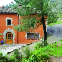
Sant Esteve de Palautordera
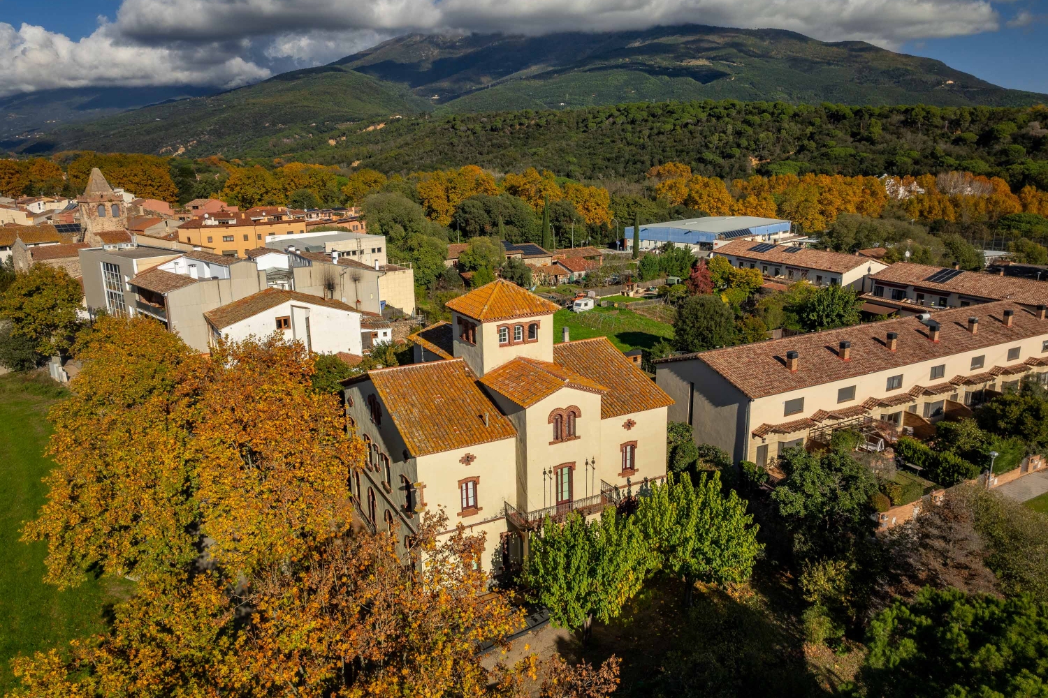
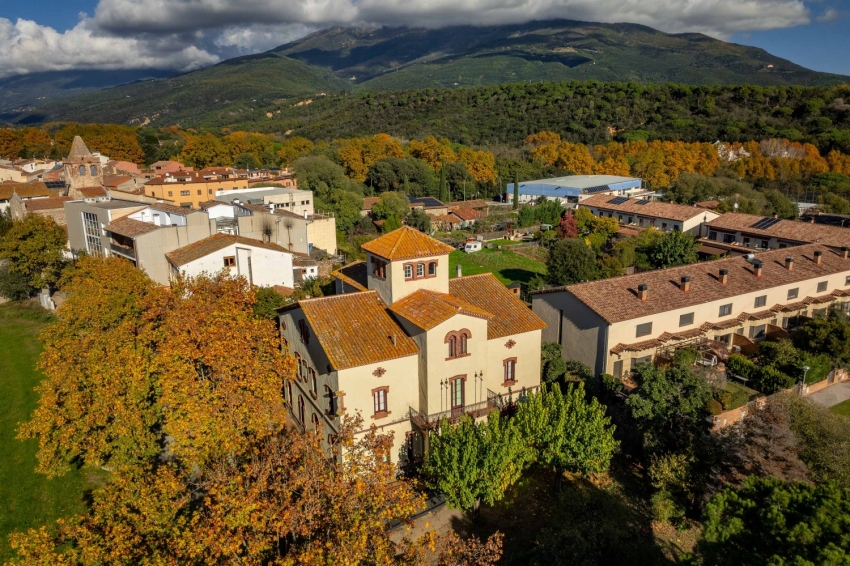


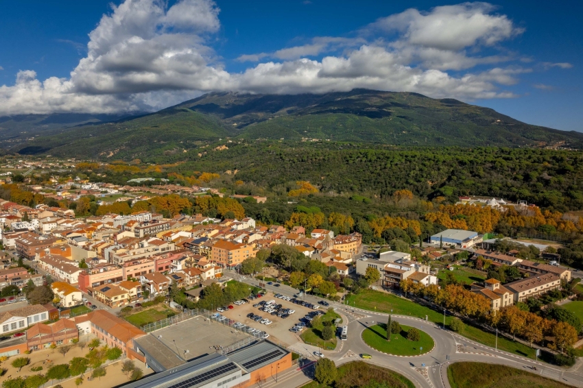

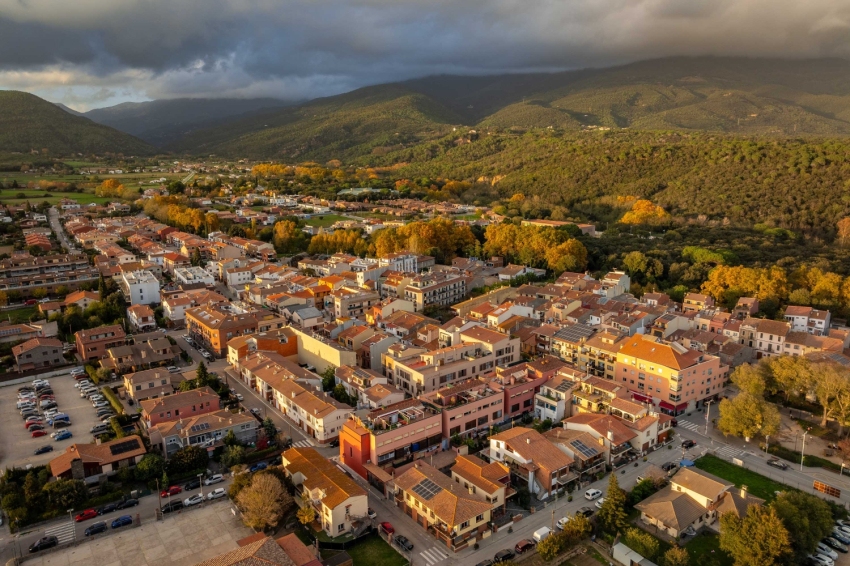


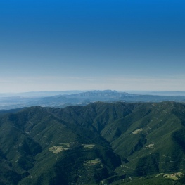
Sant Esteve de Palautordera is a municipality located in the northeast of the Vallès Oriental region, on the western slope of Montseny, at an altitude of 231 metres above sea level.
History
The name of Palautordera is already documented in the 9th century, specifically in a document from the year 862. It is one of the first villages in the Vallès to incorporate the name of its patron saint, Sant Esteve, into its toponym. During the Civil War of 1936, the municipality was renamed Vallflorida, until the dictatorship restored its name.
A relevant historical fact is that on February 1, 1640, during the Reapers' War, a group of soldiers from the Castilian troops entered the Castle of Fluvià and murdered Antoni de Fluvià, lord of the castle, and other people who had taken refuge there. These events were recorded in the song Els Segadors.
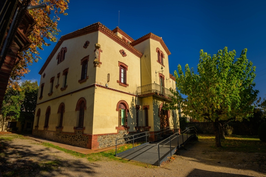
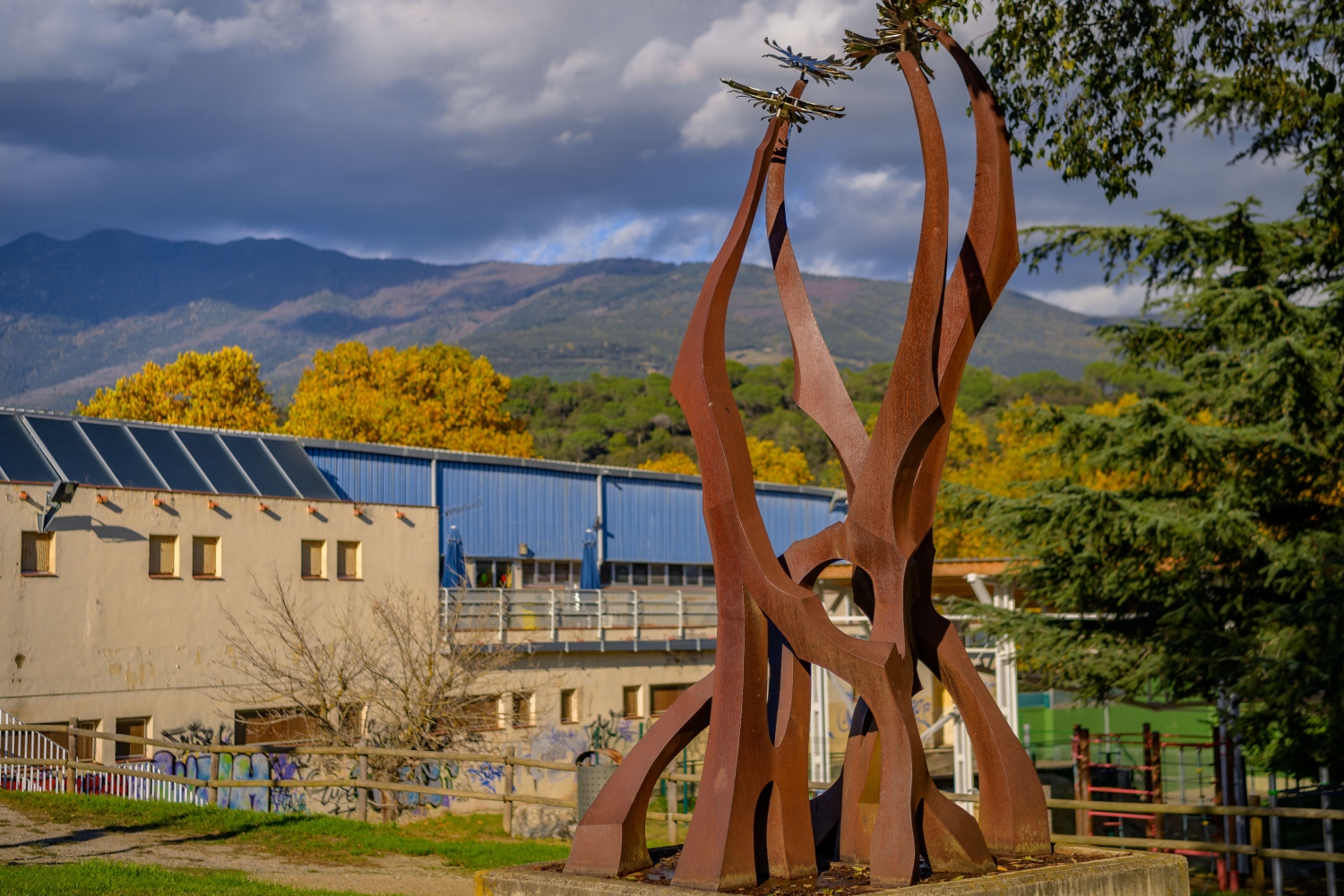
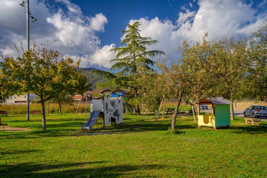
Places of Interest
Sant Esteve de Palautordera has several points of interest for visitors:
Montclús Castle
Of medieval origin, this castle has two enclosures: the jussà, with remains of the defensive wall and the moat, and the sovereign, with imposing walls and a cylindrical tower. It was one of the most important fortresses of Montseny, dominating the entrance to the Tordera valley.
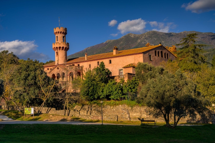
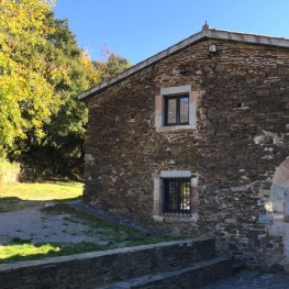
Fluvia Castle
The first news dates back to the year 1154. The construction contains the Romanesque church of Sant Cebrià, fully preserved within the modern castle building.
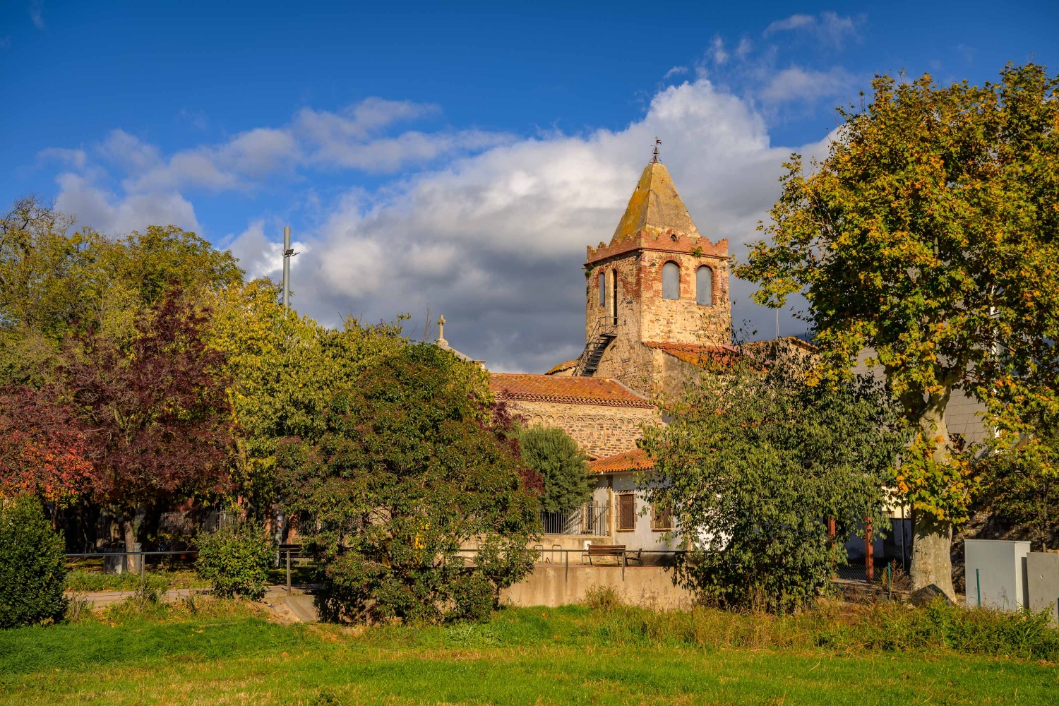
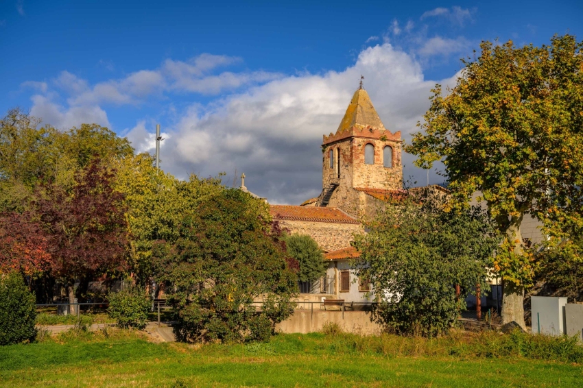
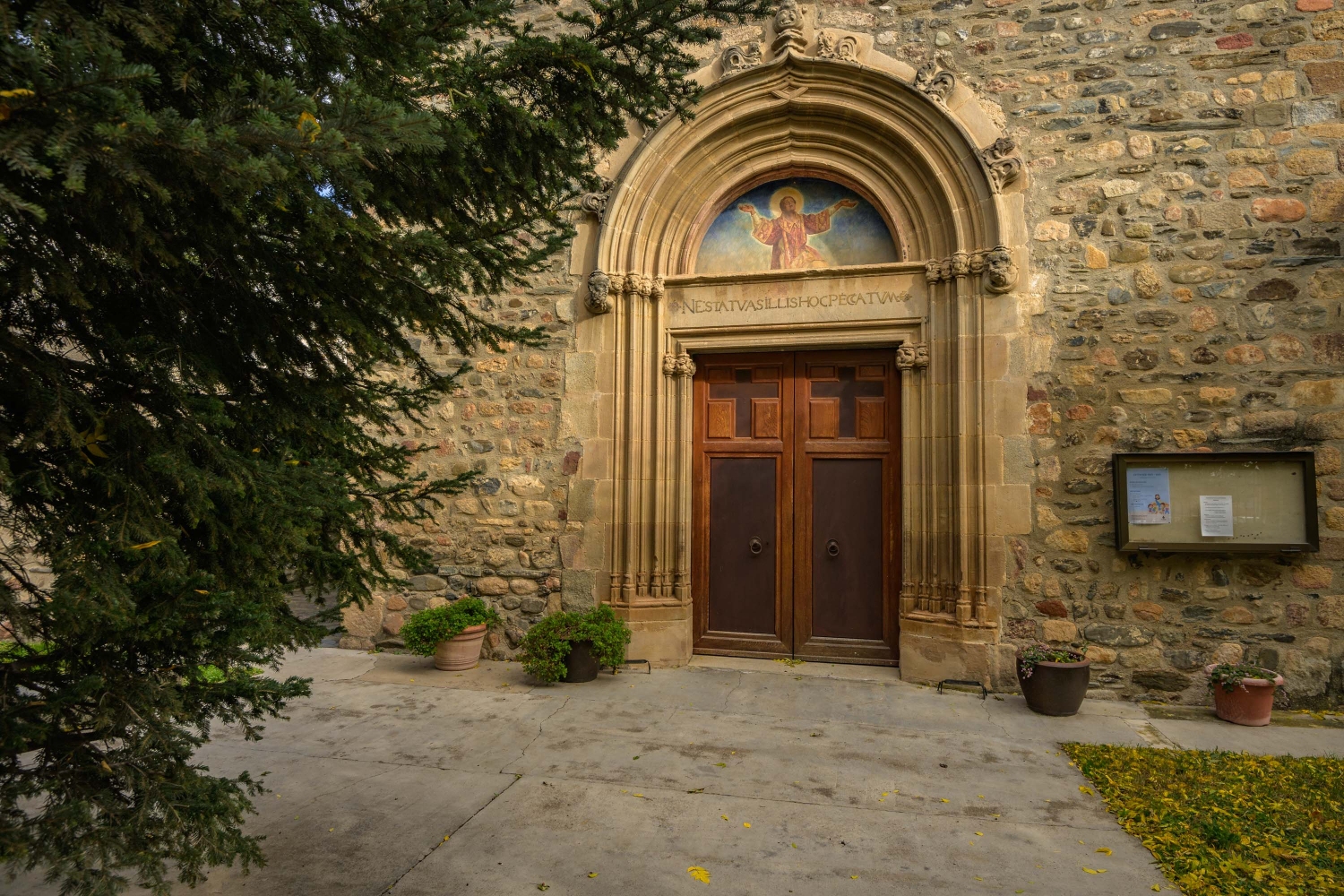
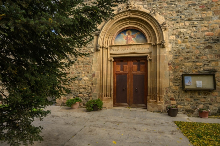
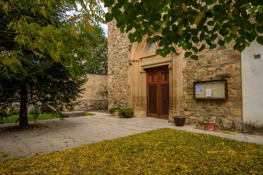
Church of Saint Stephen
The Church of Sant Esteve is one of the oldest documented churches in the Vallès, which preserves remains of the old church from the 12th century.
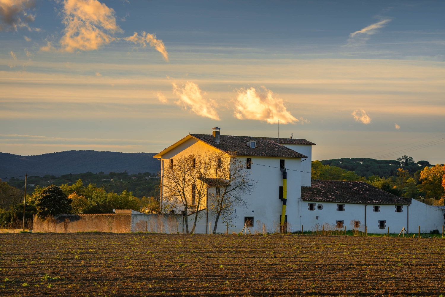
Montseny Natural Park
Sant Esteve, dominated by the presence of the Montseny massif, has an agricultural landscape and a Mediterranean ecosystem with several states of transition, alternating forests of oaks and pines with open fields.
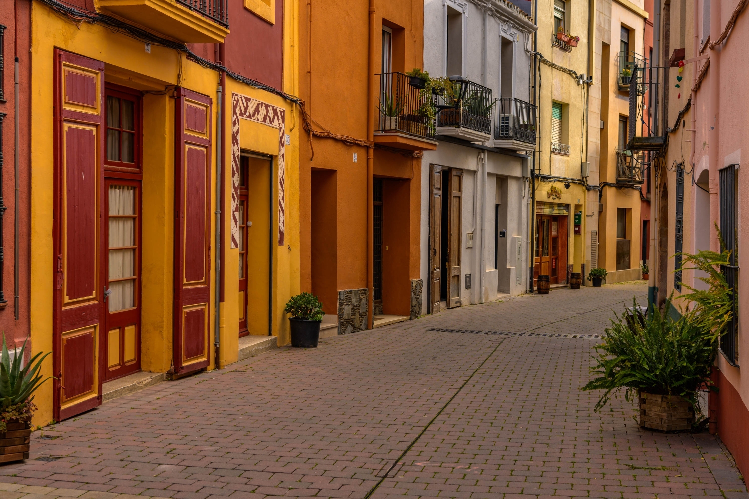
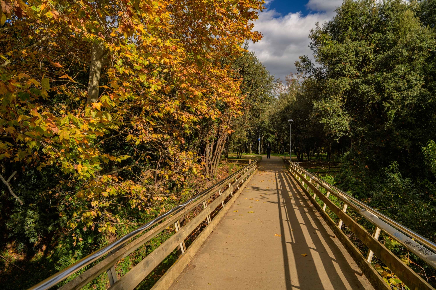
Natural Environment
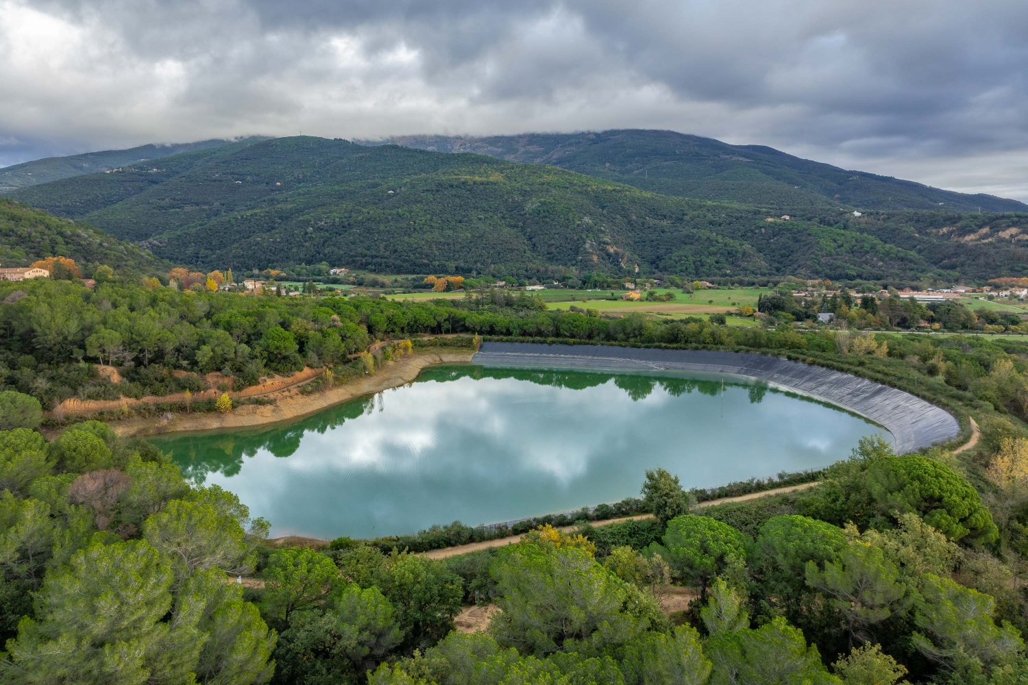
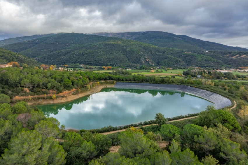
Sant Esteve de Palautordera is known for its natural wealth, acting as a gateway to the Montseny Natural Park. The municipality enjoys the presence of numerous water resources: a reservoir, the Tordera, streams, fountains, ponds and wash houses dot a landscape dominated by riparian forests, which combine with oak and pine forests, and with large open fields.
Find out!
Nearby routes
See all routes »- Claro de Luna Itinerary in Santa Maria…
- Itinerary through the factories of… (a 1.4 km)
- Walk of the trees of Santa Maria de… (a 1.4 km)
- The fountains of Santa Maria de Palautordera (a 1.4 km)
- Tourdera route: from Sant Celoni to… (a 1.4 km)
What to do
Turisme al Vallès Oriental
The Vallès Oriental region is ideal for enjoying tourism with family, friends,…
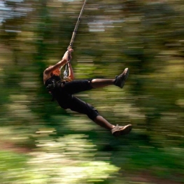
Bosc Vertical
(a 12.2 Km)Bosc Vertical offers a treetop adventure park with 160 activities, including zip…
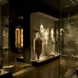
Museu Arxiu Tomàs Balvey
Cardedeu (a 10 Km)The MATBC houses the collection of its creator, Tomàs Balvey y Bas…
Where to eat

La Calma, el Bellver
Tagamanent (a 14.7 Km)At the Masía Restaurante El Bellver, from 1:00 p.m. to 3:30 p.m.,…

Pura Brasa
Pineda de Mar (a 23.1 Km)A unique gastronomic experience: Pura Brasa is a friendly and fun concept…
Where to sleep
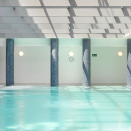
Hotel Blancafort Spa Termal
La Garriga (a 12.6 Km)Come to the Hotel Blancafort Thermal Spa and disconnect in the quiet…
Casa de colònies Can Massaguer, Fundesplai
Sant Feliu de Buixalleu (a 12.1 Km)Discover Can Massaguer, an old restored farmhouse located in the middle of…
Casa de Colònies Mogent
Llinars del Vallès (a 7.1 Km)Welcome to the Mogent Colony House! A magical place where children and…

Casa de colònies La Traüna, Fundesplai
Fogars de Montclús (a 8.1 Km)La Traüna is located in the municipality of Fogars de Montclús, in…

Events


Experiences

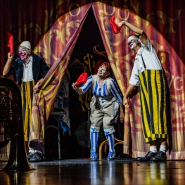
Circ Cric and Tortell Poltrona present "L'últim somni "L'últim…
Circ Cric (Sant Esteve de Palautordera)