


Pedret i Marzà
173 Inhabitants
8,6 km²
22 m
This municipality takes its name from the two population groups that form part of it: Pedret, to the east, is a place of dispersed settlement and Marzà, one kilometer away, is a grouped settlement nucleus and the administrative capital. It was segregated from Vilanova de la Muga in 1933, to which it had belonged since 1846.
It has an area of 8.15 km2 and extends through the northern sector of the Alt Empordà plain, in the Muga basin. It is completely flat, with only a few rocky outcrops that form undulating or tiny hills. In the northeast of the town of Marzà, a basaltic mantle outcrops.
The train from Barcelona to France crosses the western sector of this terminus, passing a few meters from Marzá, where there is, however, no halt or rail service. This town is connected by a local road with the nearest station, which is Vilajuïga. A local paved road from Pedret to Pau (3 km) and on the road from Roses to Vilajuïga. Local roads lead to Vilanova de Muga and Castelló d'Empúries.
The territory of Petreto is mentioned in the year 953 as one of the eastern limits of the lake of Castelló, in a precept of King Luis de Ultramar that confirms the fishing rights that the monastery of Sant Pere de Rodes had, as well as the property of the islands, Volvagro, Foniliaria and Sararto, whose location is difficult to pin down today.
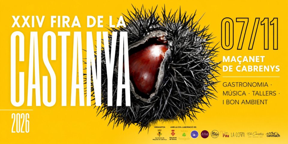
Events
Fish stew in Roses
From 16 to 25 OctoberLlançà in autumn, September and October
From 1 September to 31 OctoberVisit: The Romanesque paintings of Santa Eulàlia, a treasure of the Empordà
24 OctoberThe Chestnut Festival in Port de la Selva
31 OctoberGuided tour: Medieval Peralada
14 NovemberSecret Roses
14 NovemberNearby routes
Pedaling in the Empordà wetlands
Route of cultures on the Costa Brava
La Muga Nature Trail, from the Mediterranean Sea to the Pyrenees
Following the river La Mugueta
Route of the castles in Catalonia
A tour for golf players in Catalonia
Monumental route through the historic center of Castelló d'Empúries
Sports tourist destinations of Catalonia
Route through the Romanesque of Empordà: Stone, wind and memory
The Triangle Dalinià, following the genius footsteps using the electric car

News








 Sustainable turism
 Biosphere