Mont-ral
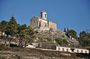
Municipality of Alt Camp, located in the eastern part of the Prades mountains. The territory, with an area of 34.65 km², is high. Broadly speaking, two zones can be distinguished: the Glorieta river valley and the Brugent river valley. These two rivers bathe the municipal area and their courses are parallel.
The population is distributed very unevenly throughout the term. We distinguish four urban nuclei: Mont-ral, Farena, L'Aixàviga and El Bosquet, in addition to the distant farmhouses of La Cadeneta and Cabrera.
Nearby routes
See all routes »- Excursion to the Font Major going up… (a 4 km)
- Excursion to the Irla al Albiol Fountain (a 4 km)
- Excursion through the Sierra del Pozo… (a 4 km)
- Route through the Baix Camp (a 6 km)
- Grand Tour de Catalunya - Section 2.… (a 6 km)
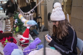
What to do
La Teva Ruta
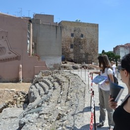
Reus (a 14.8 Km)Guided tours of various monuments and towns in the Camp de Tarragona.…
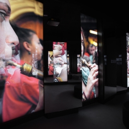
Mon Casteller- Museu Casteller de Catalunya
Valls (a 12.5 Km)Visit the Casteller de Catalunya Museum and discover the origins of the…
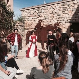
Ruta Templera i Hospitalera
L'Espluga de Francolí (a 12 Km)Discover the Espluga de Francolí through a tour of the town's old…
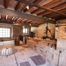
Museu Fassina Balanyà
L'Espluga de Francolí (a 12 Km)Fassina Balanyà was a small family business that dates back to the…
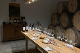
Where to eat
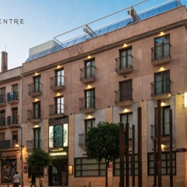
Iberik Rocallaura Balneari
Vallbona de les Monges (a 24.6 Km)Iberik Rocallaura Balneari is located on the Cistercian Route, in the municipality…

Arena Tapas Restaurant
Salou (a 23.8 Km)Enjoy an innovative cuisine, with high-quality local products of proximity, with an…
L'Orangerie de Clos Barenys
Vila-seca (a 22.2 Km)Under our fires, we prepare haute Mediterranean cuisine by selecting the finest…
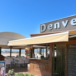
Restaurant Denver Cambrils
Cambrils (a 24.7 Km)From the legendary Xiri to the current restaurant, Denver offers a creative…
Where to sleep
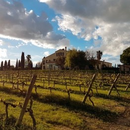
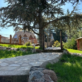
Càmping Prades Park
Prades (a 10.5 Km)Camping Prades Park offers an ideal setting for what most appeals to…
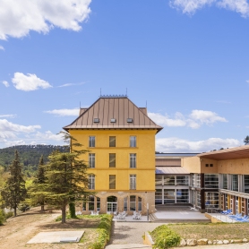
Hotel rural - Xalet de Prades
Prades (a 9.5 Km)Immerse yourself in the nature of the Sierra de Montsant Natural Park…
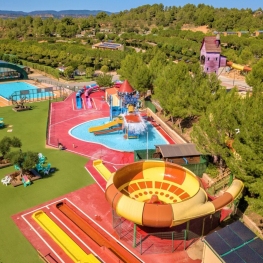
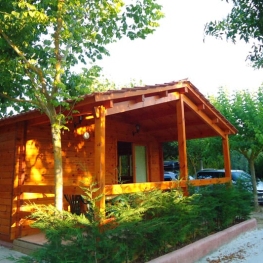
Camping Montblanc Park Capfun
Tarragona (a 12.2 Km)In the interior of the Costa Daurada, the Montblanc Park campsite offers…
Events
Experiences
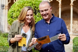
Discover the Royal Monastery of Santa Maria de Poblet - single…
Reial Monestir de Santa Maria de Poblet (Vimbodí i Poblet) (a 10.3 Km)