


Molló
Molló is a municipality located northeast of the Ripollès region, in the Girona demarcation. Due to its physical configuration, the municipality is part of the so-called Vall de Camprodon, at the headwaters of the Ritort River, a tributary of the Ter.
The municipality has an area of 43 km² and is made up of nine population entities. The towns of Molló and Espinavell (of grouped population), the village of Fabert, and the neighborhoods of Ginestosa, Els Grells, Can Solà, Moixons, El Riberal and Favars (of population scattered in farmhouses and rural houses).
The core of Molló is located on a hill or sawed, erected above the basins of the Ritort (on the left) and the Torrent de la Font Vella (on the right).
Within the nucleus it is necessary to emphasize like places of interest: the Romanesque church of Santa Cecília, the votive chapel of Sant Sebastià, the building of the City council, the laundry and font of the Font Vella, and the facades of the houses of the Greater Place ( with an austere and impoverished modernist air, of rural scope, and protected by the Catalog of Facades of Interest and Special Protection).
The most remarkable route of Molló is: "The path of the Retreat" any of the routes followed by the exiles, both civilian and military, to cross the border in the direction of France. Therefore, it can be said that there were many "Retreat roads", some more traveled and others less. It has a total distance of 14 km with many slopes.
Events
Nearby routes
Local products Ripollès
Route for adventure parks in Catalonia
Route between the valley of Camprodon and Alt Vallespir
Circular route through the Cima del Matagalls from the Bordoriol pass
Walking through the Valley of Camprodon
Grand Tour of Catalonia - Section 4. Ode in nature: from La Seu d'Urgell to Figueres
Beget and Rocabruna on the roads of smugglers
The Crossing of the Three Refuges in the Eastern Pyrenees
Tour of the Carboner River in Setcases
Cabin and beech path in Setcases
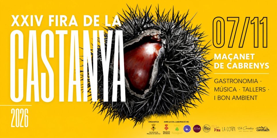
News








 Sustainable turism
 Biosphere