


Martorelles
The municipality of Martorelles is located in the Vallès Oriental region, between the Besòs river and the Litoral mountain range. The neighboring municipalities are Mollet del Vallés, Montmeló, Montornès del Vallès, Sant Fost de Campsentelles and Santa Maria de Martorelles.
It has an extension of 3'61 Km². It is a small municipality, of almost 5,000 inhabitants, near Barcelona (to 18Km).
The vegetation of Martorelles is mostly of the Mediterranean type, although the white pine forest is increasingly abundant . The few oak trees that still exist can be found in the forest of Can Fenosa and the border with Santa Maria de Martorelles. The climate is of the Mediterranean type, that is, of warm summers and mild winters.
In the municipality, in the street of Can Puig, there is a centennial hackberry that in 1990 was declared a Local and Regional Interest Tree.
The cultivation of the vine for many years was one of the main crops in the area, currently, it is no longer the case, but the Denomination of Origin Alella (DO Alella) identifies the wine from our vineyards.
In the fluvial plain of the Besòs there is a small natural area, the park of the Verneda that leads to the raft of Can Fenosa.
In this area, although there is also the Santo Domingo Mine and the remains the flour mills of Carrencà and the Lloberons with the pool or raft of Can Fenosa. Of this last, we already know its existence 1197.
Within the urban nucleus we find the Can Sunyer stream and the Can Ginessó torrents.
The highest point of the term is the hill of the Covarota and that of the Llicorella.
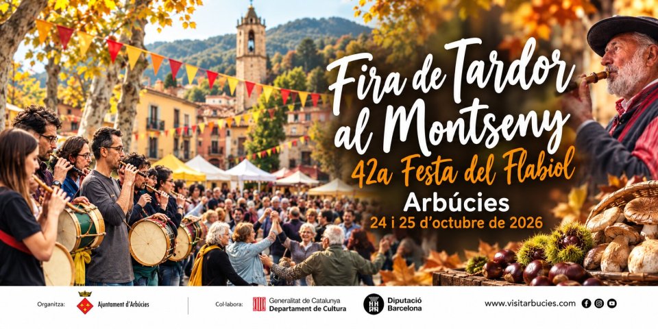
Events
Moaré Terrassa Festival
From 16 to 18 OctoberCatalonia Industrial Tourism Week 2026
From 16 to 25 October'La Moguda Gastronòmica' in Santa Perpètua de Mogoda
From 9 October to 8 NovemberPanoràmic Festival in Granollers, Barcelona, Terrassa and Vic
From 15 October to 27 DecemberEfímera in Santa Perpètua de Mogoda
17 OctoberThe Castañera in La Pedrera!
17 OctoberAutumn Concert Series in Santa Perpètua de Mogoda
18 OctoberGuided tours of the Cresta del Masnou mine
18 OctoberOpen day at Lavaderos del Masnou
18 OctoberTransmaresme Bike
24 OctoberSEASONAL THEATER in Santa Perpetua de Mogoda
25 OctoberNearby routes
Route of the hidden Churches of Baix Vallès
Route in the middle of Gallecs
Bicycle axis in Gallecs
The path of the Baleclers of Gallecs in Mollet del Vallés
The path of Sant Valerià in Mollet del Vallés
Mediterranean Trail
Maritime route around Montgat
Know El Masnou, land of the sea
Pompeu Fabra Literary Route through Badalona
Route for adventure parks in Catalonia
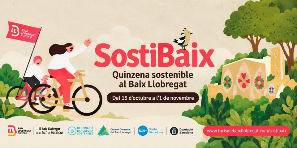
News
Iron architecture: the light and steam of industrial Catalonia
In the 19th century, the Industrial Revolution not only changed the way people worked and lived, but also profoundly transformed architecture. The arrival of new materials, such as cast iron, wrought iron, and glass, opened up possibilities…
Gothic Architecture: The light and height of medieval Catalonia
Gothic architecture marks a turning point in the history of Catalonia. It was the style that transformed cities, places of worship, and the way people built collectively. A style that changed not only the stone itself, but also the way people…








 Sustainable turism
 Biosphere