La Baronia de Rialb


The municipal area is located in the extreme northeast of the region of La Noguera, bordering the regions of Alt Urgell, to the east (Peramola and Coll de Nargó); the Pallars Jussà, in the northwest (Benavent de la Conca); and with the municipalities of Tiurana, Ponts and Artesa de Segre (Noguera) to the south and southwest.
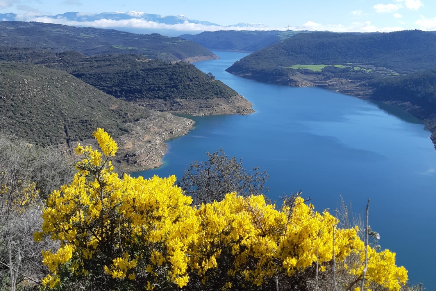
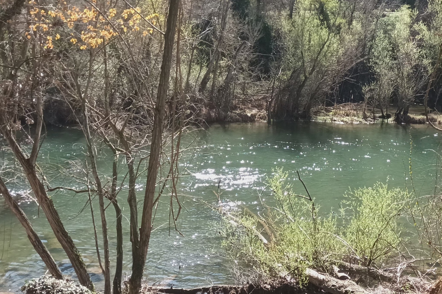
To the right of the Segre River, it occupies the lower part of the Rialb basin. The area extends from the Segre to the north to the heights of Cogulló de Sant Quiri (1,355 m above sea level), on the border with Pallars Sobirà. The municipality is part of the natural region of Segre Medio, which is located in the Pre-Pyrenees, where it leaves the plains of Lleida and approaches the mountains and valleys of the western Catalan Pyrenees.
The area of the municipality is 145 km² and its altitude is 747 metres.
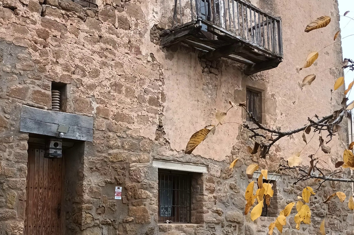
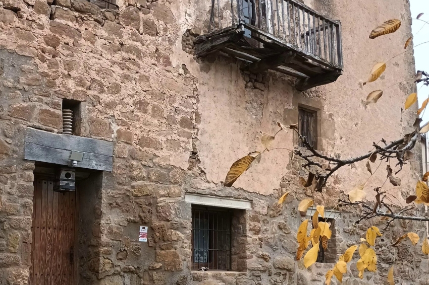
The municipality is made up of more than 200 inhabitants distributed among eleven towns scattered throughout the Rialb valley; old parishes that were populated on the peaks of these mountains; since the early medieval period; with defensive fortifications, farmhouses, parish churches and chapels..
The nuclei are: Gualter, La Sierra, La Torre, Politg, Pallerols, Vilaplana, Bellfort, Palau, El Puig, St. Cristóbal de la Donzell and St. Martí.
The name Baronia, similar to that of the baronies of Sant Oïsme or La Vansa, comes from the fact that a good part of its term had constituted an old jurisdictional term or barony, already structured in the 14th century, which had The first males were the Ribelles, followed by others such as the Alentorn, Rocabertí, Casaldàliga or Pinós and, as last, the Mercader and Sadurní. The determinative of Rialb, common to many other centres of the term, comes from the Rialb river or Alb River ( from Rivo Albo in Latin), meaning the white river.
Forests such as pine forests are potentially predominant, especially in the centre and northern part of the municipality. However, in the northwest and in small pockets near the Sierra de Sant Marc there is a significant mass of oak and holm oak forests.
In the area where the municipality is located, there are limestones and conglomerates that are located, preferably, to the north of the term, where the alpine orogeny and the subsequent fluvial and karst erosion have caused the appearance of important geomorphological elements of interest, among which stand out cliffs, ravines and gorges.
PLACES OF INTEREST
Dolmen Area
The Dolmen Area is located near La Torre de Rialb and includes the Sòls de Riu dolmen, the hermitage of Sta. Eulàlia de Pomanyons and the cisterns of the old Pomanyons tower, moved during the construction of the Rialb reservoir.
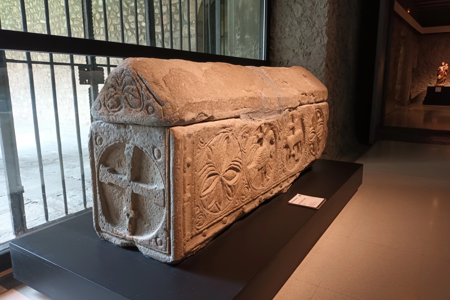
The dolmen, also known as the Dolmen of the Three Pillars, is a funerary construction from the Eneolithic period with large vertical stones. The materials found, such as a polished stone axe and a flint arrowhead, are preserved in the Diocesan Museum of Solsona.
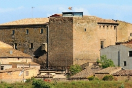
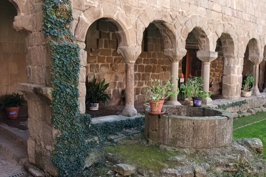
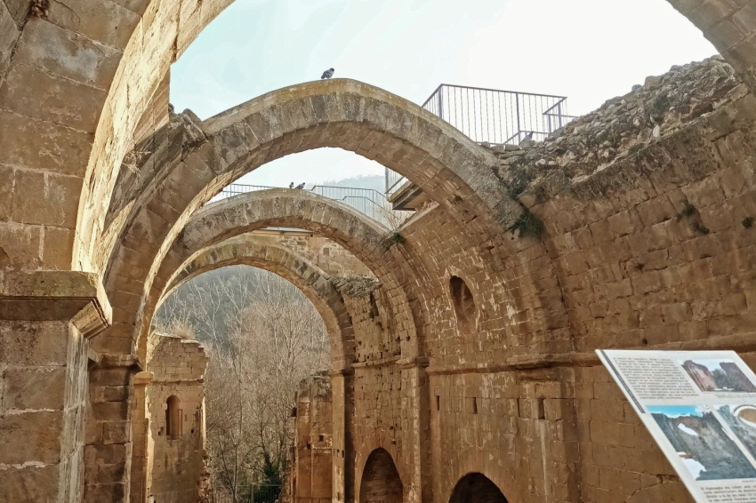
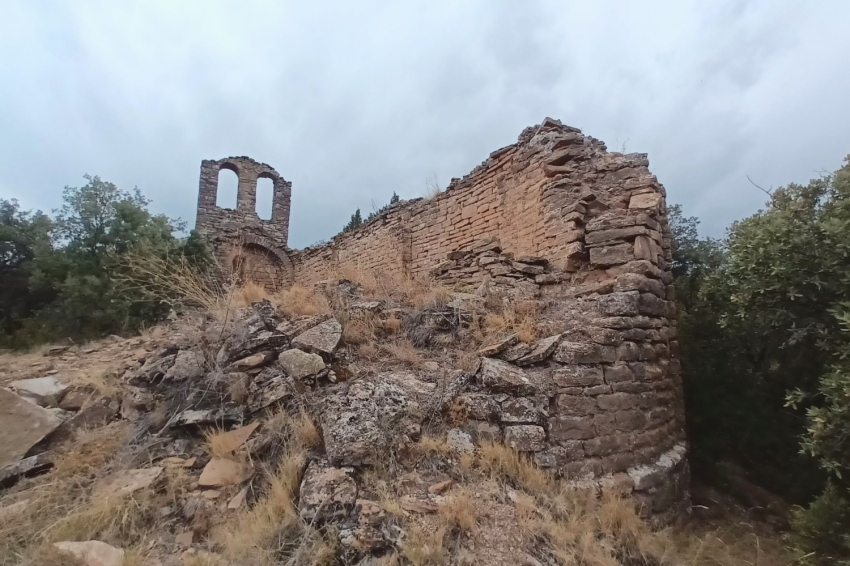
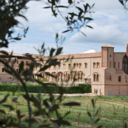
Monastery of Santa Maria de Gualter
The site of Ponts and Gualter was occupied by Count Wilfred the Hairy before 890 and given to the monastery of Ripoll to establish a Benedictine priory there. The monastery was renovated and consecrated in 1207. This small priory depended on Ripoll and was favoured by the Counts of Urgell. In 1593, Pope Clement VIII suppressed it, converting the building into a parish church, thus beginning its progressive abandonment.
The architectural complex includes a monastic church with a basilica plan in Romanesque style and a cloister, partially destroyed by an explosion during the Civil War. Recent restoration works have reconstructed parts of the church and made it easier to visit. Of the original Romanesque cloister, only It preserves the south gallery, with semicircular arches and capitals sculpted with plant motifs.
Altarpiece of Saint Iscle and Saint Victoria
The altarpiece of San Iscle and Santa Victoria was originally on the main altar of the old parish church of the Torre de Rialb. Due to theft and looting, it was moved to the hermitage of San José in Politg, where it remained dismantled for a time.
The altarpiece belongs to the Lleida school, influenced by the workshop of Bartomeu de Robio in the 14th century. Its restoration was carried out between 2007 and 2008, following a criterion of minimal intervention.
It is a polychrome sculptural ensemble in the form of a triptych, with three-dimensional carvings and egg tempera technique. It is divided into six scenic registers with a bench sculpted in high relief, representing the life and passion of San Iscle and Santa Victoria, Cordoban martyrs of the 17th century. IV AD. Its iconography is inspired by ancient sources, such as Greco-Egyptian paintings and Roman and early Christian reliefs.
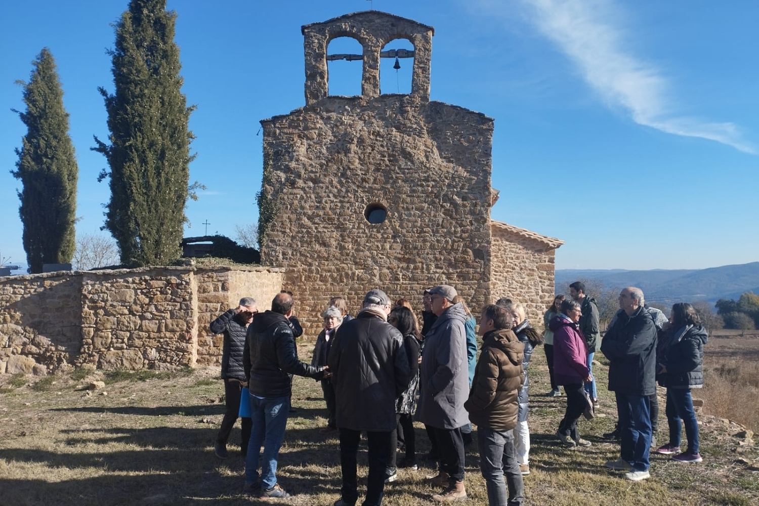
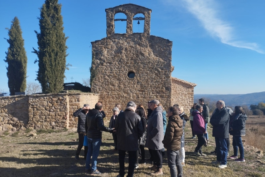
Parish Church of Sant Esteve de Pallerols
The old parish church of San Esteban is located in the abandoned center of Pallerols de Rialb, close to the towns of Peramola and Gavarra. It is accessed from Gualter along the Folquer road.
The current building is the result of a thorough renovation carried out in 1793. Despite its current state, it is believed that the original structure could have been a single nave, later enlarged. The medieval vestiges show influences of Lombard architecture of the 11th century., with a very uniform construction rig but without ornamentation.
Nearby routes
See all routes »- Culture and adventure in the Rialb…
- Sanaüja route (a 11.4 km)
- The cheese of Montsec (a 12.9 km)
- Wine Route: Costers del Segre (a 12.9 km)
- The Coscollet from Aubàs (Sierra de… (a 15.2 km)
What to do
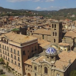

Solsona Experience, descobreix el Solsonès
Solsona (a 27.5 Km)Experiential guided tours of the Solsonès region for all audiences, groups and…
Mas de Colom, Casa Borges
Tàrrega (a 30 Km)The former convent and farmhouse are located on the Mas de Colom…
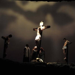
La Passió de Cervera
Cervera (a 29.9 Km)The Passion of Cervera is a theatrical representation of the life, death…
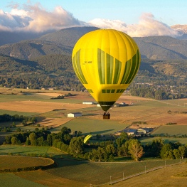
Globus Pirineu
Solsona (a 29.4 Km)Enjoy the opportunity and experience to discover the richness of the landscape…
Where to sleep
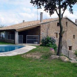
Mas Ampurdanés
La Baronia de RialbIt is located on the outskirts of Pallerols, in the municipality of…
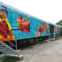
Casa de colònies Vagons d’Àger, Fundesplai
Àger (a 29.8 Km)Vagones de Àger is located in the municipality of Àger, in the…
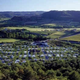
Càmping el Solsonès
Solsona (a 27.8 Km)Camping El Solsonès offers fully equipped wooden bungalows, a new camping area,…