Jafre
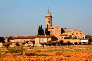
The municipality of Jafre is located in the Baix Empordà region, on the left side of the river Ter, and limits to the north with the municipality of Garrigoles, to the east with Verges, to the south, through the river, with Foixà, and in the west with Colomers.
With an area of 6.7 km², the town center is located on a ridge and extends to the GI-634 road, occupying a sequence of small terraces. The landscape maintains a certain balance between the farmland that extends towards the Ter and the wooded areas populated with pines and, to a lesser extent, holm oaks and oaks. However, in places near the river such as Isla de Amunt and Isla de Avall, riverside trees abound.

Nearby routes
See all routes »- The Passions in Catalonia: tradition… (a 3.2 km)
- Land of Tramuntana (a 3.2 km)
- Medieval castles in the vicinity of… (a 3.2 km)
- Ruta del Ter by Celrà, Bordils, Sant… (a 5.4 km)
- The Dali Triangle (a 6.5 km)
What to do
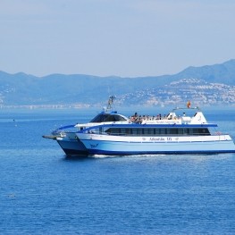
Creuers Mare Nostrum
L'Escala (a 12.4 Km)We are a family business that has been dedicated since the late…
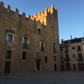
Castell Palau de la Bisbal d'Empordà
La Bisbal d'Empordà (a 12.9 Km)The Castell Palau of the Bishops of Girona is an outstanding example…
Castell Gala Dalí Visita Guiada
La Pera (a 7 Km)Enter a world of romanticism and surrealism and enjoy a unique cultural…
Where to sleep
Hotel Molí del Mig
Torroella de Montgrí - L'Estartit (a 11.6 Km)We are an old mill of the 15th century restored by the…
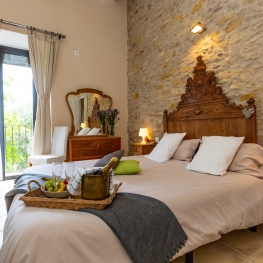
Apartaments Rurals Mas Tarrès
Madremanya (a 9.7 Km)Discover Mas Tarrès, your adults-only rural retreat in Madremanya!
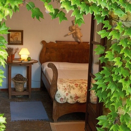
La Plaça de Madremanya
Madremanya (a 10.5 Km)Hotel in an old farmhouse s. XIV-XV located in the center of…
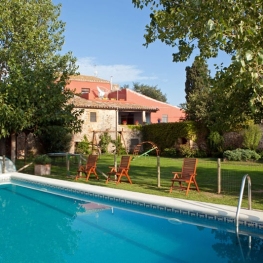
Casa Rural Mas Masaller
Cruïlles, Monells i Sant Sadurní de l'Heura (a 14.7 Km)Isolated farmhouse almost 3 kilometres from La Bisbal de Empordà. The farmhouse…