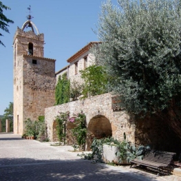
El Far d'Empordà
The municipality of Far d'Empordà is located in the middle of the Empordà plain, on the right bank of the Manol River, to the east of the region's capital, Figueres. The land is substantially flat although it has a small but significant elevation of 44m where the town center is located. Further south of the nucleus we find the neighborhood of Les Olives.
The municipality covers an area of 916.16 Ha and is bordered to the north and west by Figueres, to the east by Vila-sacra and Fortià, and to the south by Vilamalla.
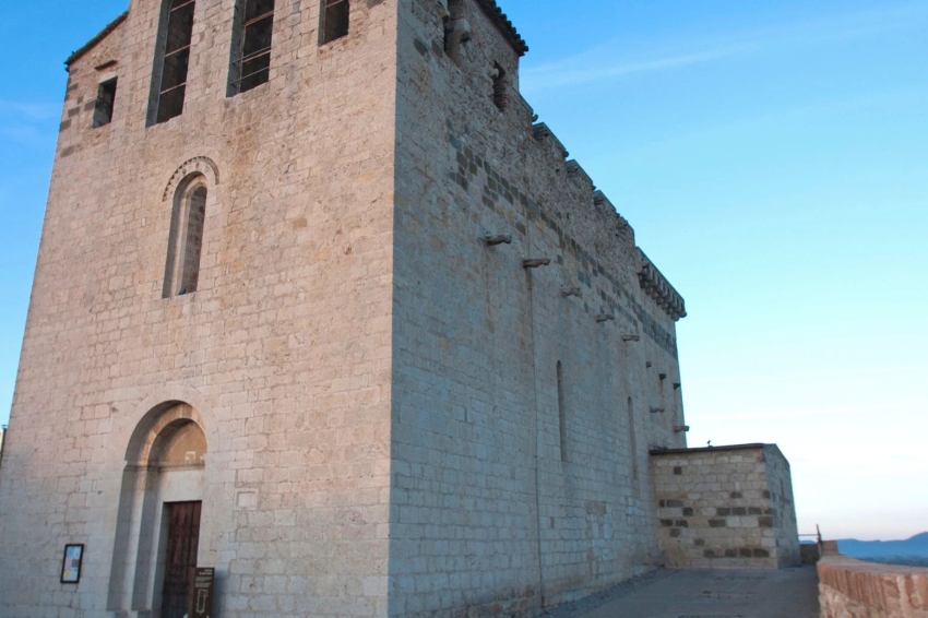
The municipal term is crossed by several roads that concur to the urban nucleus and, from this, they extend by the territory of radial form. This confluence of paths that lead to Vilatenim, Vilabertran, Siurana, Vilamalla, Santa Llogía de Alguema, Vila-sacra, Fortià and Figueres surely has to do with the existence of the Castell del Far dating from the 13th century and despite being of a minor nature, it entailed a certain control of the most immediate territory.

Nearby routes
See all routes »- Grand Tour of Catalonia - Section 4.… (a 3.2 km)
- Grand Tour de Catalunya - Section 5.… (a 3.2 km)
- The Dali Triangle (a 3.2 km)
- Route of cultures on the Costa Brava (a 3.2 km)
- Route of the castles in Catalonia (a 3.2 km)
What to do
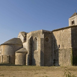
Canònica de Santa Maria de Vilabertran
Vilabertran (a 3.6 Km)Santa Maria de Vilabertran is, without a doubt, one of the best…
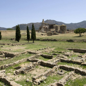
Ciutadella de Roses
Roses (a 14.4 Km)Discover the Ciutadella of Roses: a fascinating journey through 2,500 years of…
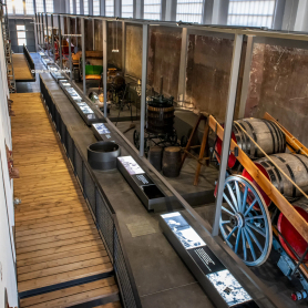
Espai Museístic Vi.Vent
Capmany (a 14.8 Km)The Vi.Vent Museum Space in Capmany is much more than an exhibition…
Where to sleep
Can Gibert Apartaments Turístics
Castelló d'Empúries (a 6.4 Km)Located in the historic centre of Castelló d'Empúries, Can Gibert offers 6…
Mas Renart
Mollet de Peralada (a 12.8 Km)Enjoy and relax at the Mas Renart Rural House. For groups and…
Allotjament Rural Casa Bàscara
Bàscara (a 12.5 Km)Disconnect and enjoy the tranquility and serenity offered by the Casa Bàscara…
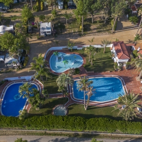
Càmping Las Palmeras - Costa Brava
Sant Pere Pescador (a 11.3 Km)Las Palmeras is a small, quiet and comfortable campsite on the Costa…