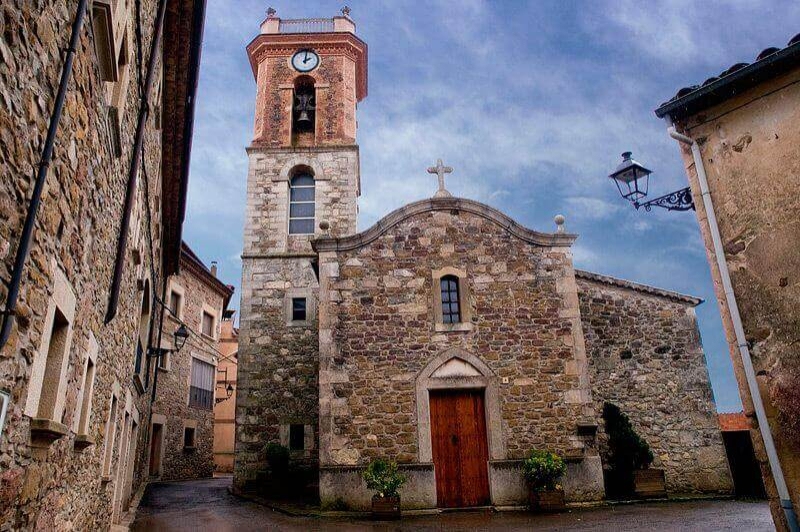
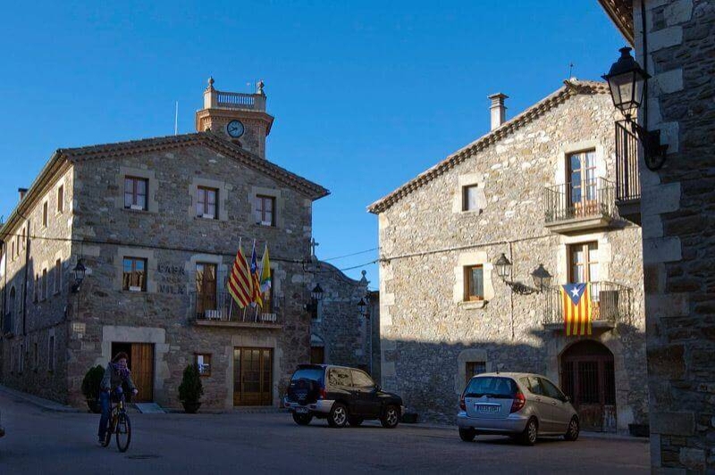
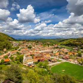
Collsuspina

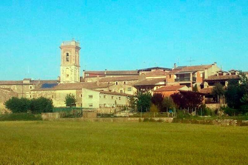
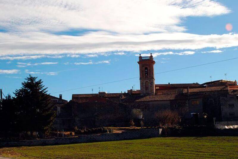


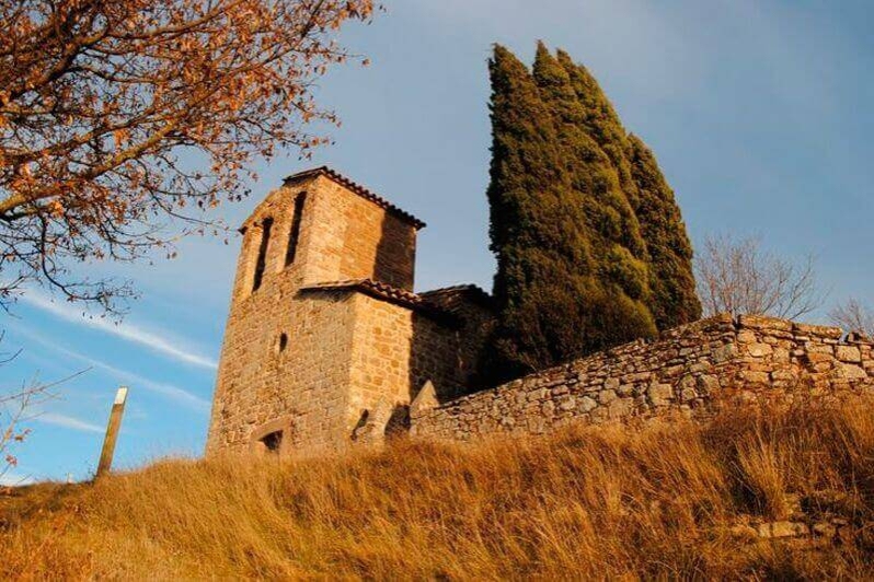

The term of Collsuspina, of 14.86 km2 located in the region of Moianès. It extends along the mountain range that closes the flat of Vic; it limits to the north with the municipality of Muntanyola, in the northeast and this with Tona, to the east and the southeast with the municipality of Balenyà, to the south with Castellcir and to the west with the municipality of Moià.
Collsuspina is an essentially mountainous term, formed geologically during the tertiary period. The port or neck of the Pollosa (920 meters) is the only pass between the Moianès and Osona that exceeds a thousand meters in the small mountain range of the northern part and that goes from the Caseta de Vilafort in Sant Cugat de Gavadons (1043 meters in Sant Cugat de Gavadons, 1061 meters on the mount de la Oller); It has a minimum height of 800 meters in the torrent of Santa Coloma, under the old Puig.
Due to its altitude and higher rainfall than in the rest of the Moianès, it is a term quite rich in water and with notable plans and valleys for crops. The term is crossed by small torrents, like that of Armadans or Picanyol, of the Griolera or of the Umbertes, and of Santa Coloma or of Fontscalents, that spill the waters in the stream of Marfà or Golarda.
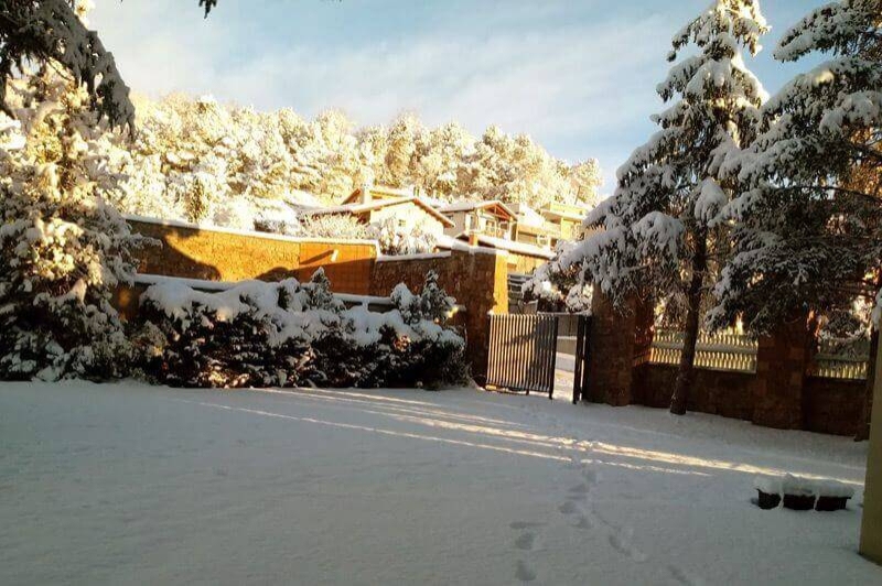
In the lands of Collsuspina, a Mediterranean mountain climate with a continental tendency predominates. The term includes the old town and the neighborhoods of Picanyol and Casetes as well as a score of Masos.
Collsuspina, origin of three rivers
Within the municipality of Collsuspina, near Sant Cugat de Gavadons, there is a hydrographic vertex in which the basins of the Ter, Besòs and Llobregat rivers converge. This point is to the east of the crossroads of Can Bellver, Can Regàs and Fontanelles, on the second hill: what is a little bigger and a little higher.
The first steps of the Ter receive the name of Torrent de Sant Cugat, to later become the Gurri. Those of the Llobregat are known as Torrent de la Espina or Santa Coloma, and further away Riera de Calders, while Besòs, as a child, is called Torrent de Güells, and when the Congost is a little larger.
Therefore, the waters that the sky spills over Collsuspina are messengers of our people to very distant and scattered places, until finishing in Estartit, in Sant Adrià del Besòs and El Prat de Llobregat.
Nearby routes
See all routes »What to do
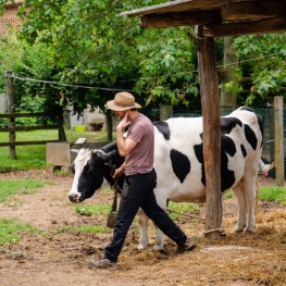
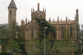
Mas Casablanca
Taradell (a 11 Km)Mas Casablanca is a traditional peasant house, which is one that provides…
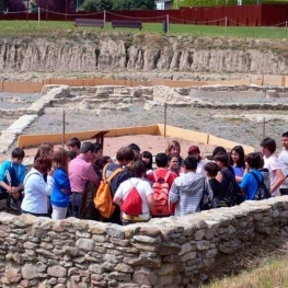
Centre d’Interpretació el Camp de les Lloses
Tona (a 4.9 Km)The Archaeological Park of Camp de las Lloses is made up of…
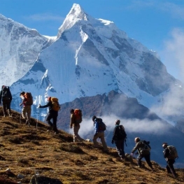
Guies Arania - Guies de muntanya i barrancs
Balenyà (a 5.1 Km)A small adventure sports company specialized in canyoning, via ferrata, snowshoe routes,…
Where to eat
La Calma, el Bellver
Tagamanent (a 11.3 Km)At the Masía Restaurante El Bellver, from 1:00 p.m. to 3:30 p.m.,…
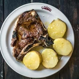
Braseria Les Comes
L’Esquirol (a 29.6 Km)Located on the premises of the Anigami Adventure Park, they offer menus…
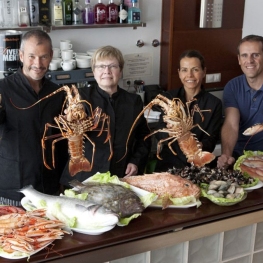
Restaurant Marisquer Can Ladis
Sant Fruitós de Bages (a 26.4 Km)The Can Ladis Seafood Restaurant, located in Sant Fruitós de Bages, is…
Where to sleep
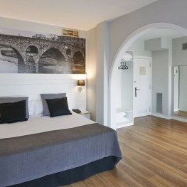
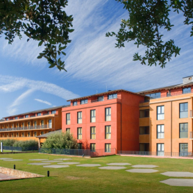
Hotel Can Pamplona
Vic (a 12.5 Km)Hoel Can Pamplona is a family-run Bed & Breakfast located just steps…
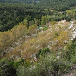
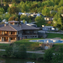
Càmping l'Illa
Sant Quirze Safaja (a 11.6 Km)Surrounded by nature, in the middle of the mountains at an altitude…
Càmping La Vall
Taradell (a 10.6 Km)Located on the outskirts of Taradell, in a beautiful valley where a…

Events
Experiences
Masterpieces from the Museum: A Journey Through Medieval Art…
MEV, Museu d'Art Medieval (Vic) (a 13.2 Km)