Cava
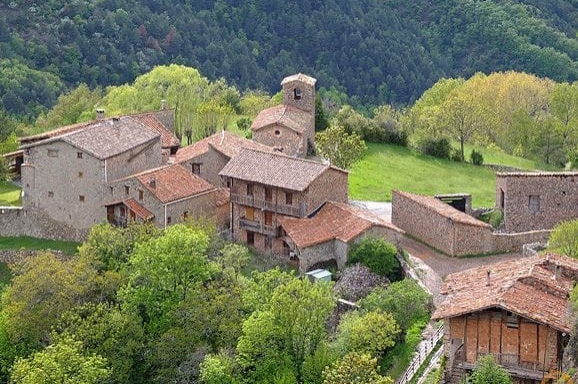
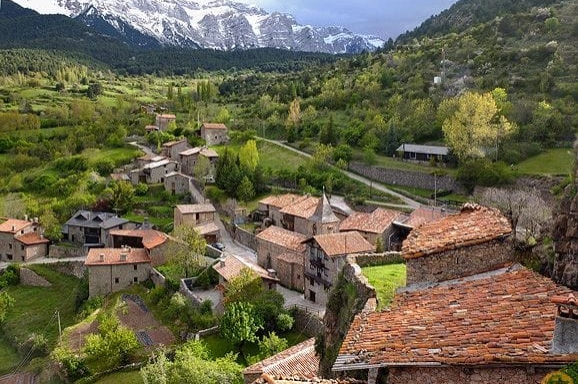
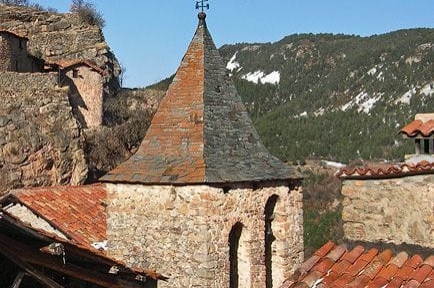
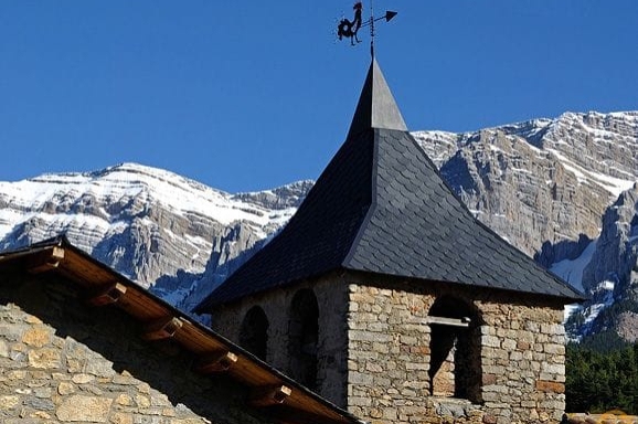
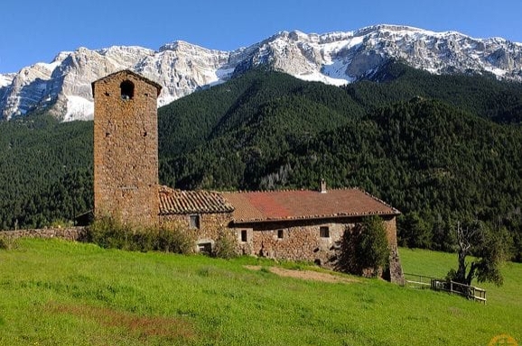
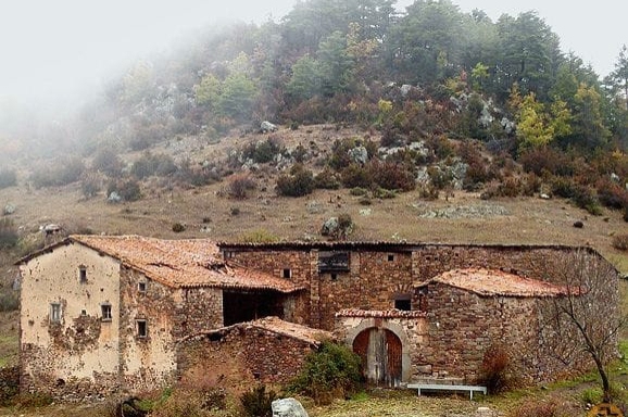
Cava is a municipality of Alt Urgell whose Ansovell larger core, yet also includes Querforadat and that gives the name, Cava. It has long been considered the least populated municipality of the region of Alt Urgell.
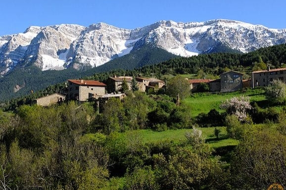
The municipality includes different landforms, including the Sierra de Cadi dominates, the crest of which acts as the southern boundary of the town, finding its maximum altitude in the mountain of the channel Baridana (2,648 m). Therefore, much of the end of Cava is part of the Natural Park Moixeró.
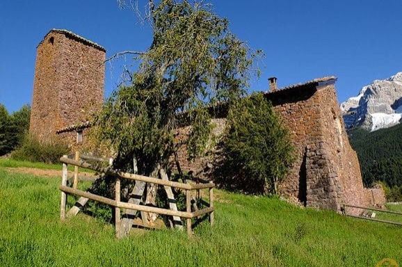
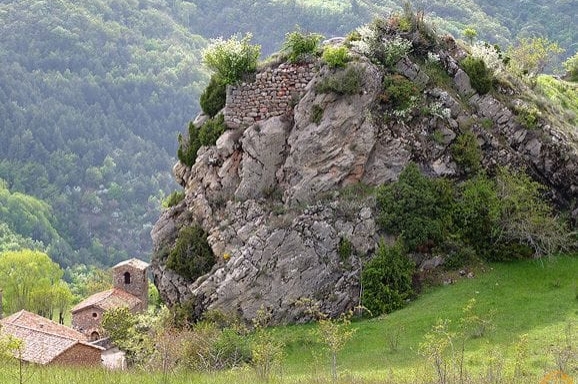
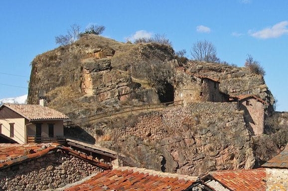
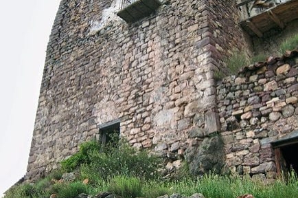
Located within the county of Cerdanya, Cava castle is documented in 1277. It was destroyed by the miquelets in 1712 and only two fragments of wall, one of which is on the corner. In a patch lower in the south, is the stone called Lord's chair, where tradition says the man stopped the sun in winter. Throughout the centuries, the place of Cava was under the dominion of Pinos, the Santmartí, the Brea and Doria d'Arfa.
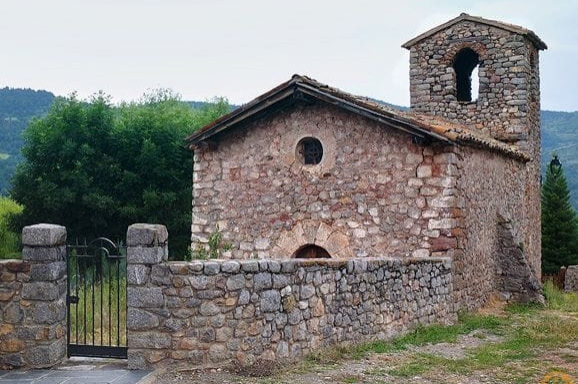
The parish of Ansovell (Nonsuelle) is mentioned in the act of consecration of the cathedral of La Seu d'Urgell, datable to the tenth century During the Middle Ages, place Ansovell, along with that of Quer, both within the county of Cerdanya, belonged to Aragall and later to the Castro-Pinos, viscounts also Evol. It later passed to the Dukes of Híxar.
Despite being a city with few people are still celebrated various festivals. For example, Ansovell festival celebrates the second Sunday of November, the Querforadat the penultimate Sunday in August and is also the collection of the Virgin of Boscalt celebrated on September 8 or the first Sunday of the month. There you can enjoy a fantastic view and also visit a unique box-a copy center, perhaps more than 500 years, the young people of the neighboring villages were getting around to finding a partner.
The municipality is ideal for outdoor activities, has a network of 8 historic roads conditioners and designated for hiking and offers visitors exceptional landscape values.
Nearby routes
See all routes »- Romanic path in the Alt Urgell
- Route of the trades in the Alt Urgell (a 3.4 km)
- Cerdanya roads of the bunkers Talló… (a 8.5 km)
- The Natural Park Cadí-Moixeró (a 8.5 km)
- Route through the Lagos de la Pera (a 10 km)
What to do
Centre Picasso de Gósol
Gósol (a 10.8 Km)Pablo Picasso, who was 24 years old at the time, decided to…
Estació d'Esquí Tuixent - La Vansa
Josa i Tuixent (a 13.9 Km)Enjoy 30km of multi-level circuits for cross-country skiing and snowshoeing at the…
Centre cultural Espai La Vansa
La Vansa i Fórnols (a 14.6 Km)Espai La Vansa is a cultural space and mountain tavern in the…
Where to eat
Taverna de La Vansa
La Vansa i Fórnols (a 14.6 Km)A self-managed mountain tavern in Espai La Vansa, ideal for enjoying local…
Restaurant Font Freda
Castellar del Riu (a 28.7 Km)A restaurant offering a wide selection of Catalan dishes, especially notable for…
Bar Restaurant El Jardí
Sant Llorenç de Morunys (a 21 Km)The Bar-Restaurant El Jardí de Sant Llorenç de Morunys offers traditional cuisine…
Restaurant Apartaments Els Roures
Castellar del Riu (a 28.4 Km)Rest, charm and good cuisine, a unique space located in Berguedà, at…
Where to sleep
Cerdanya Viva Ecoestades
Prullans (a 12.4 Km)You imagine a place with paradisiacal views, to be able to choose…
Càmping Gran Sol
Montferrer i Castellbò (a 14.6 Km)Family-friendly accommodation in Montferrer, surrounded by nature and equipped for cycling, with…
Hotel & Spa La Collada
Toses (a 8.8 Km)Hotel & Spa La Collada, a 4-star hotel with 90 rooms located…
Events
Experiences
31st Valley Fair in Tuixent - Local and artisan products
Museu de les Trementinaires (Josa i Tuixent) (a 10.9 Km)

