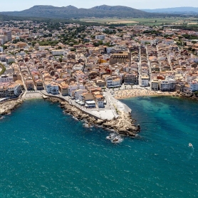
Capmany


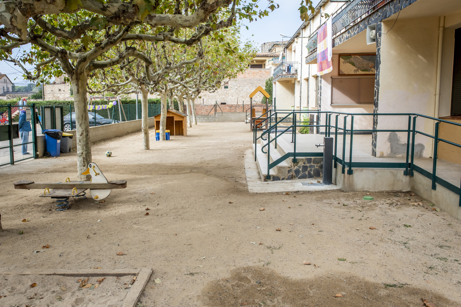


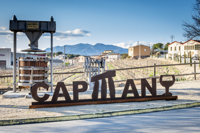


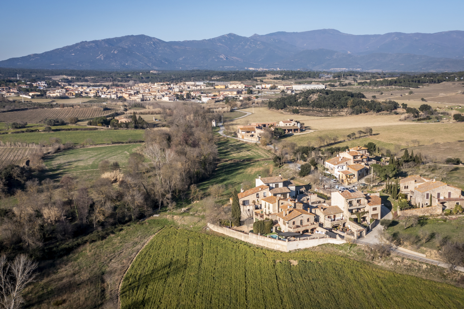
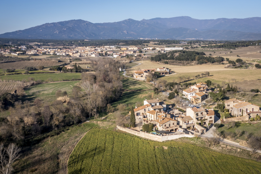

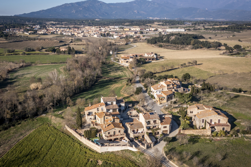
Nestled among the last foothills of the Albera mountain range lies Capmany, a municipality in the Alt Empordà region that combines history, landscape, and tradition. With a surface area of 26.40 km² and an altitude of 107 meters above sea level, the village preserves the charm of a farming and wine-producing region with its own unique identity.
Located in a privileged natural setting, it borders Cantallops, Agullana, and La Jonquera to the north; Darnius to the west; Biure to the south; and San Clemente Sescebes and Masarac-Vilarnadal to the east.
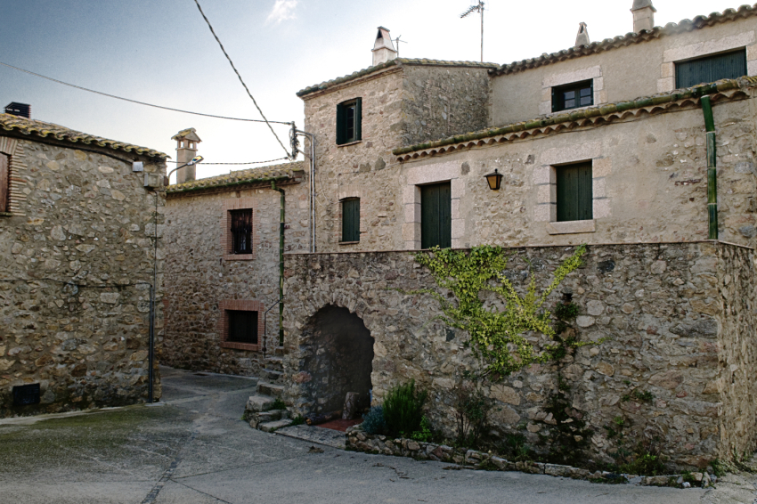
Capmany opens like a natural gateway to the Albera mountain range and the heart of the inland Empordà. Its scattered farmhouses and the neighborhoods of Bosquerós and Viladavall preserve the memory of an ancient rural life, marked by the vineyards and the land.
A landscape of mountains, streams and vineyards
The municipality is a mosaic of mountains and hills that define the Empordà horizon: the Sierra de la Mau, the Sierra del Mas Querafumat, the Sierra de Comanera, the Monte de la Bellota, the Puig Gros, and the Sierra Blanca are some of the landscapes surrounding the town. This gentle, wooded landscape offers paths that invite you to walk and discover corners of remarkable natural and historical value.
Streams also play a prominent role: the Llobregat de Empordà, the Merdançà, and the Bosquerós streams flow through the area and feed small ravines such as the Tórtores and the Riberó. In spring and autumn, the water and greenery bring life to the plains surrounding the village.
A town with history
The history of Capmany dates back millennia. Its past is attested by the numerous megalithic monuments found within the area, dating from between 3300 and 2700 BC.
The first documented name, Capite Magno, appears in 813, and the town and its parish of Santa Ágata were already mentioned in 1062. During the Middle Ages, Capmany was linked to the viscounty of Rocabertí and later to that of Peralada. Over the centuries, the municipality grew around the church and farmhouses, always maintaining a strong connection to the land.
Its history is marked by periods of prosperity, but also by wars, epidemics, and reconstruction. From the Great War to the Civil War, the town has managed to revive and preserve its heritage.
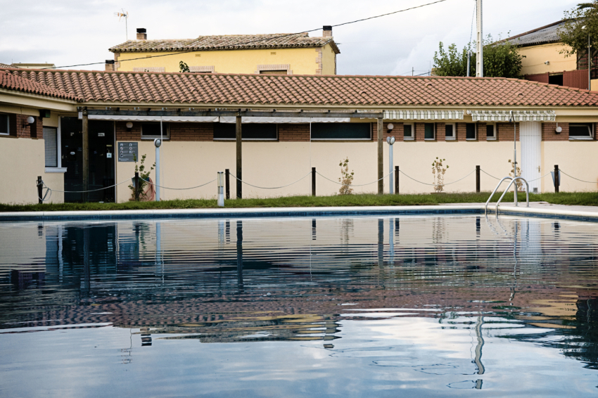
Today, Capmany is an example of the coexistence of memory and modernity, with infrastructure that connects it to the world—such as the AP-7, the N-II, and the high-speed train—without having lost its Empordà essence.
Places of interest
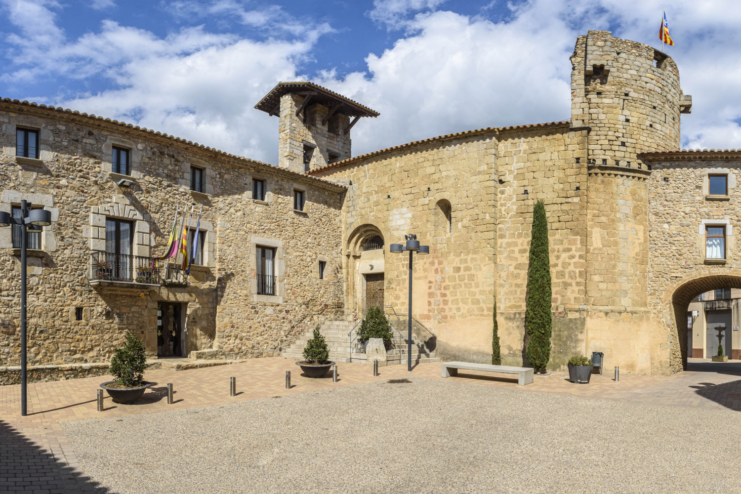
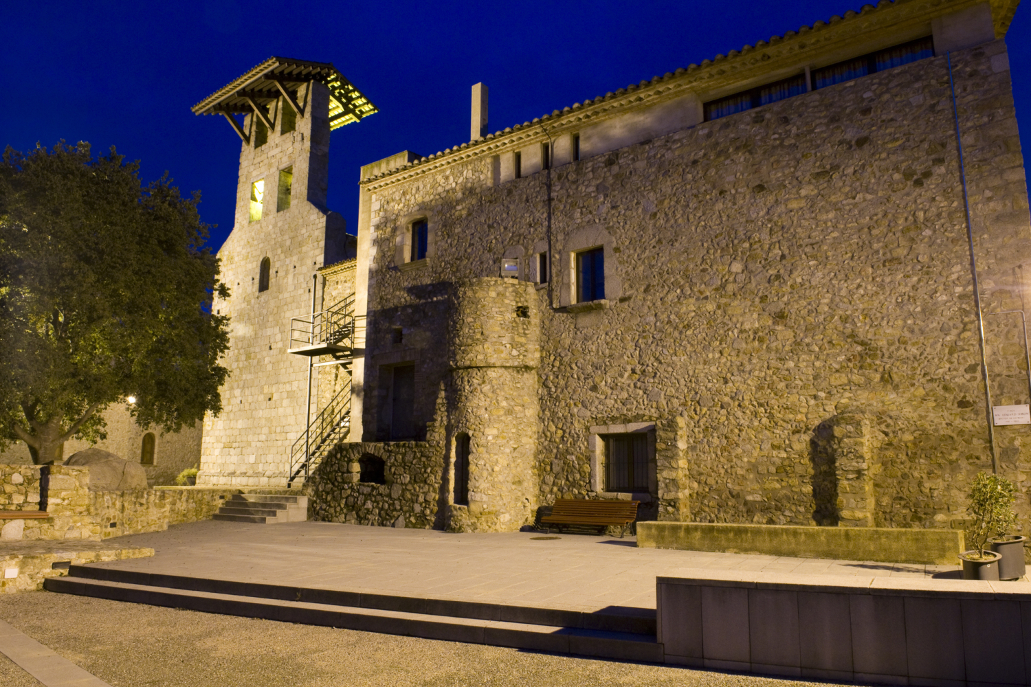
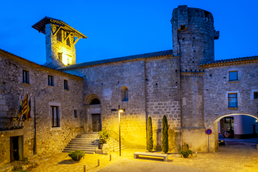
Church of Saint Agatha
In the Plaza del Fort, right in the center of the town, stands the parish church of Santa Ágata, dating from between the 12th and 13th centuries. It is a single-nave building with a semicircular apse, constructed from perfectly squared granite ashlars.
The church, later fortified, retains Romanesque elements and Gothic details such as the pointed arches and the south door with three graduated arches. Over the centuries, it has suffered destruction and restoration—in 1794 during the Great War, and in 1936 during the revolution—but it has always remained a symbol of the town.
Major restoration work was carried out in 1982 and 2016. It is currently a place of worship and a heritage landmark, surrounded by other notable buildings such as the Casal de la Baronia, the Town Hall.
Chapel of San Sebastián
Built in 1509, the Chapel of San Sebastián is another beloved element of the local heritage. Located in the square of the same name, it is a chapel with a single rectangular nave and a bell tower.
For centuries, it has been not only a place of worship but also a space for gathering and socializing. In modern times, the chapel—known as the "university"—hosted neighborhood assemblies to elect municipal officials.
It has been restored several times, the first in 1953 and the second in 1990, when the exposed stone walls were restored. Even today, the Feast of San Sebastián is celebrated every January 20th, a deeply rooted moment of conviviality in the Capmany calendar.
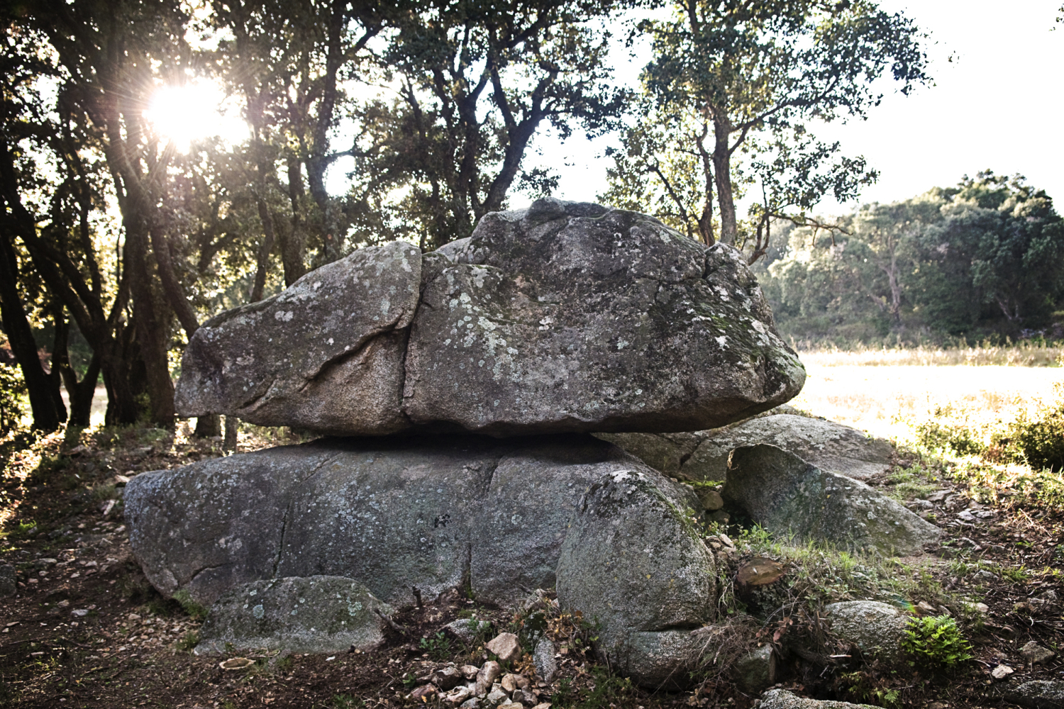
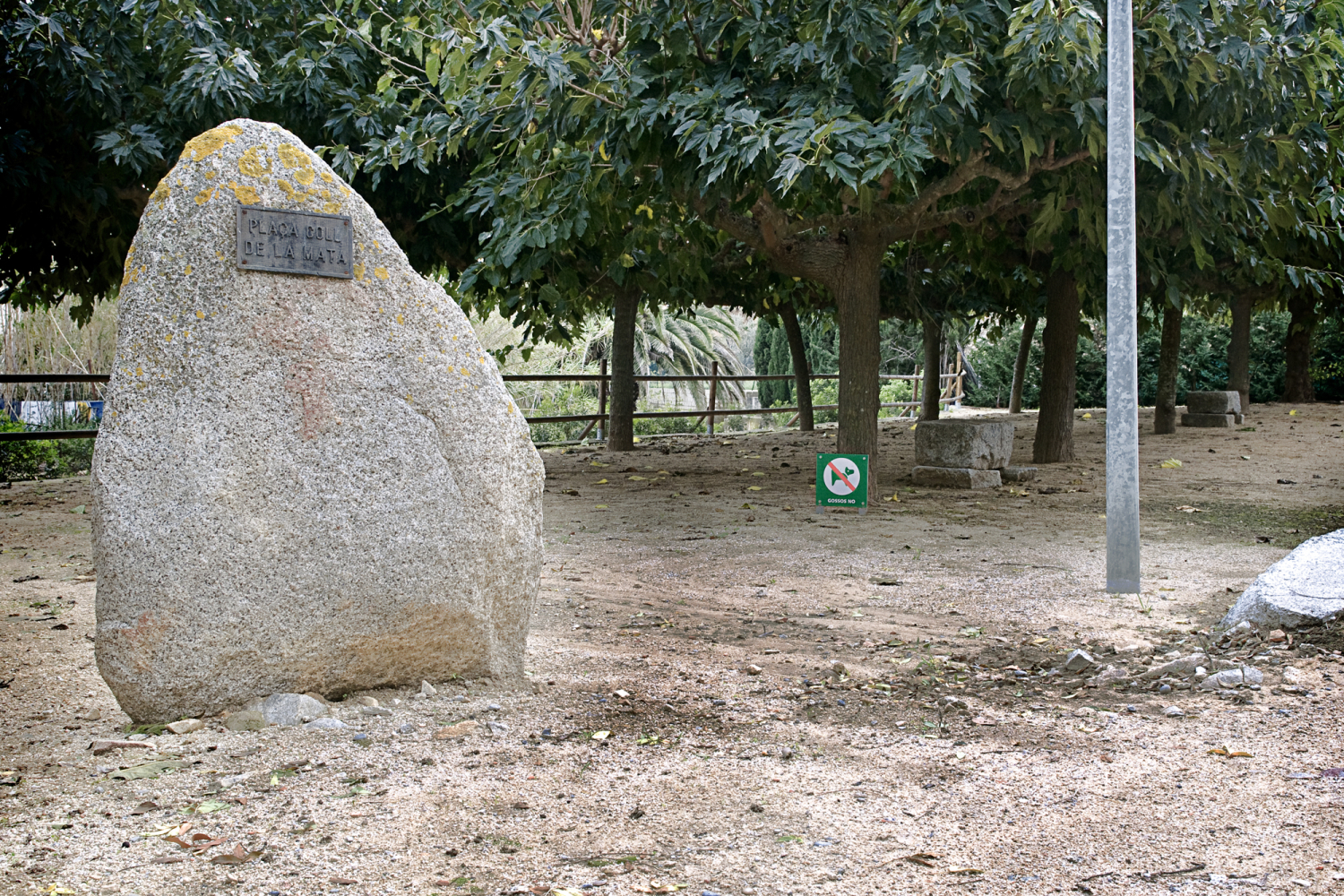
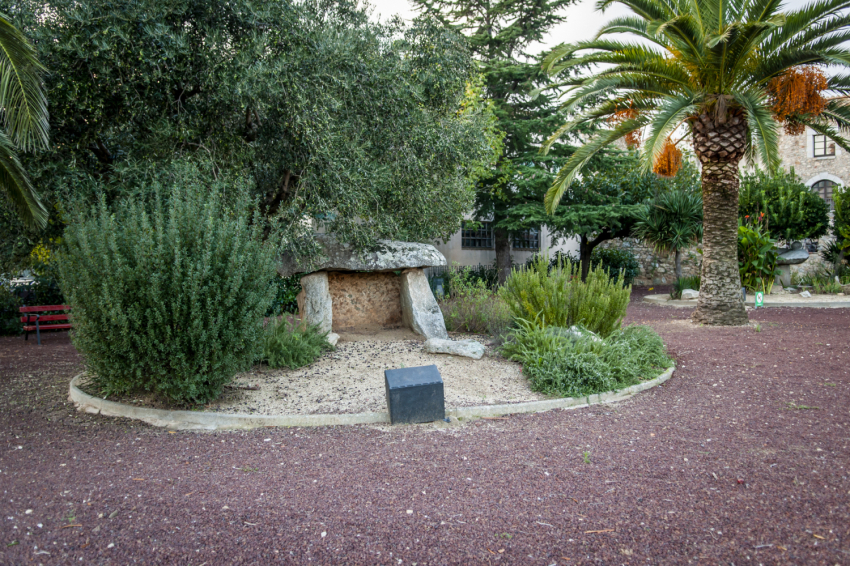
Megalithic itinerary
Capmany preserves one of the most important megalithic sites in the Empordà region. The Megalithic Itinerary allows you to explore several paths in the area and discover prehistoric monuments such as the Quer Afumat Dolmen and Menhir, the Oscillating Stone, the Verneda Dolmen, the Standing Stones of Comanera I and II, the Vidal Menhir, and the Sacrificial Stone.
This route is a journey into prehistory, a testament to human presence millennia before the present-day population. The paths, surrounded by forests and vineyards, allow for a peaceful stroll and a cultural experience at the same time.
Sources
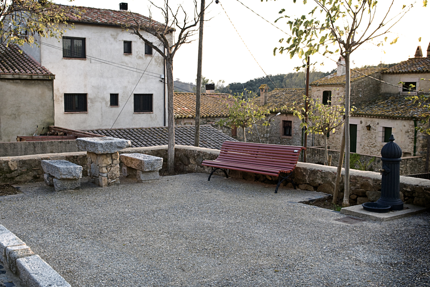
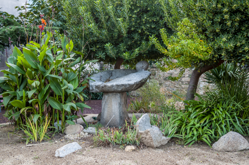
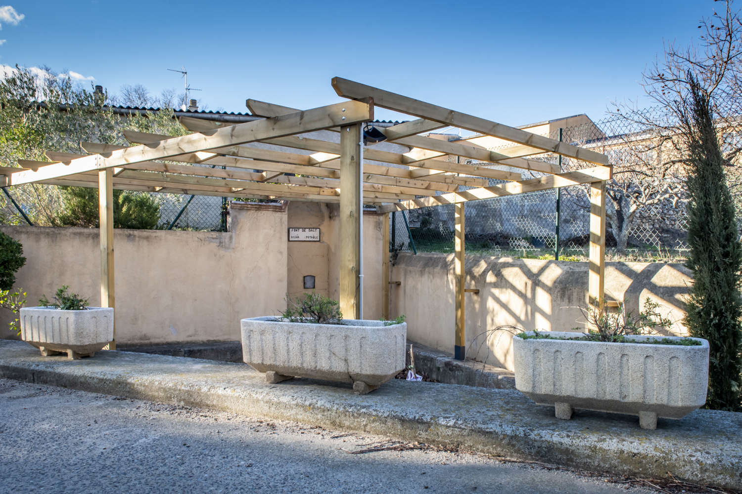
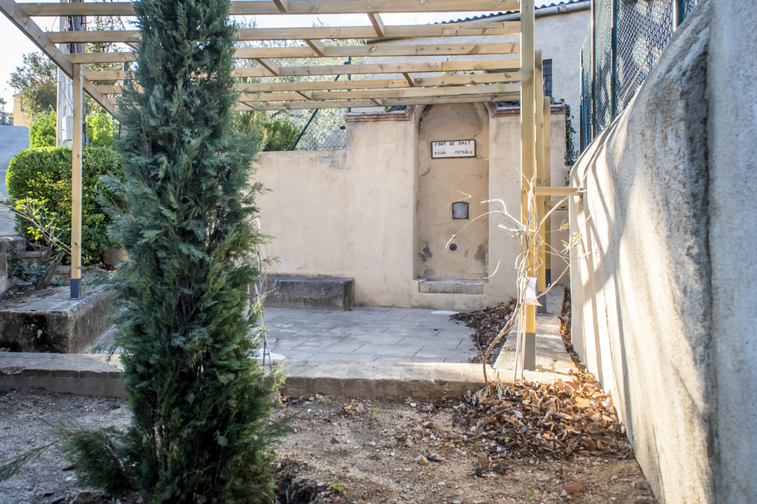
Capmany is also a land of water. Throughout history, the municipality has been known for its natural springs, especially the Baños de la Mercè spa, where sulfurous thermal waters gush forth.
Even today, you can visit fountains such as the Virgen de la Merced fountain, the Rovellada fountain, the Captain fountain, the Verneda fountain, and the Saus fountain, among many others. Within the town center, the Dalt fountain and the Baix fountain were once meeting points and water supplies for residents.
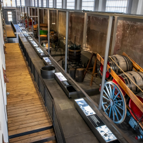
Vi-Vent Museum
In 2024, Capmany took a step forward with the opening of the Vi-Vent Museum, the new interpretation center for the Empordà vineyards and wines. Located in the eastern warehouse of the former Sindicato El Parral (built in 1911), the space recovers the collective memory of the town and explains the relationship between the land, the wineries, and the people who have made wine a way of life.
The Vi-Vent has become a benchmark for wine tourism in the Empordà region, recognized by the Girona Provincial Council, the Generalitat (Catalan Government), the Regional Council, and the DO Empordà. The space offers an immersive experience, with audiovisual content and interactive elements that showcase the past and present of the winemaking world. The Vi-Vent Museum reinforces Capmany's identity as a winemaking town and a people committed to their land.
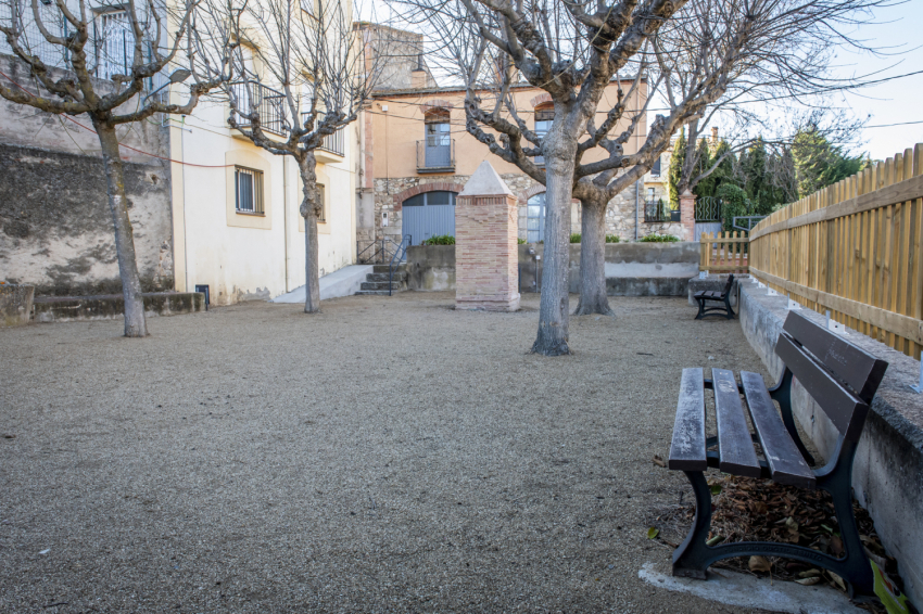
A destination to enjoy calmly!
Capmany is a town that combines heritage, nature, and authenticity. Its quiet streets, vineyards, and trails leading up to the Albera offer an ideal setting for leisurely exploration.
Over the centuries, it has managed to preserve its personality: a small town with a rich history, where every corner speaks of tradition, hard work, and continuity. Capmany doesn't seek to surprise with grand monuments, but rather with details that are gradually revealed, like the fine wine produced.
A place where time has a different rhythm, and where visitors always find reasons to return.

Nearby routes
See all routes »- The exile in the Jonquera, the route… (a 6.1 km)
- La Muga Nature Trail, from the Mediterranean… (a 6.7 km)
- Route through the Romanesque of Empordà:… (a 8.8 km)
- Route of cultures on the Costa Brava (a 10.4 km)
- Route of the castles in Catalonia (a 10.4 km)
What to do
Espai Museístic Vi.Vent
CapmanyThe Vi.Vent Museum Space in Capmany is much more than an exhibition…
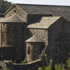
Monestir de Sant Quirze de Colera
Rabós (a 12.2 Km)Far from the hustle and bustle and hidden among the majestic landscapes…
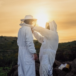
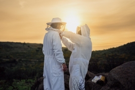
Abellaires Empordanesos
Garriguella (a 11.7 Km)Discover the world of honey with Abellaires Empordànese. A beekeeping company located…
Where to sleep
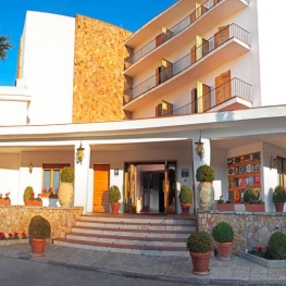
Hotel Empordà
Figueres (a 11.4 Km)Family-run hotel with 39 double rooms and 3 suites, featuring the El…
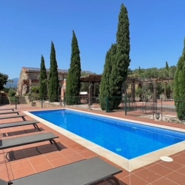
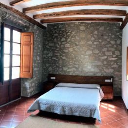
Mas Renart
Mollet de Peralada (a 6.5 Km)Enjoy and relax at the Mas Renart Rural House. For groups and…
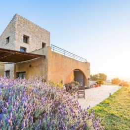
Casa Rural Mas Coquells
Vilanant (a 12.1 Km)Enjoy a relaxing holiday on the Costa Brava, in the countryside, on…