


Campins
413 Inhabitants
7,3 km²
321 m
It limits with the districts of Sant Celoni to the south, Gualba to the east and Fogars de Montclús to the northwest. Its demarcation extends in a slope from South to North with a minimum height of 200m and a maximum of 800m at its northernmost end. It is undulating in its central part by hills of gentle relief, such as Puig Morell (318m altitude), the Sierra de Mates (330m) or the Can Zidro hill (390m).
Forests of cork oaks, chestnut trees, thickets and, as the name of the town indicates, pine trees dominate. The different streams or torrents meet in the Campins stream, which outside the term takes the name of Pertegàs stream, except for a few small streams from the eastern part that go to the Gualba stream.
The term includes the town and head of the municipality of Campins, largely scattered, and the urbanizations of Les Esplanes, Sant Josep, Campins Residencial and Can Joanet. The local road BV-5114 arrives, which begins in Sant Celoni and crosses a large part of the Montseny Natural Park to end in Viladrau.
Events
Calamarenys - Arenys de Mar Squid Gastronomic Days
From 9 October to 8 NovemberPanoràmic Festival in Granollers, Barcelona, Terrassa and Vic
From 15 October to 27 DecemberForest week in Sant Celoni
From 23 to 25 OctoberTransmaresme Bike
24 OctoberGuided tour of Hostalric Castle
24 OctoberSant Celoni Forest Fair
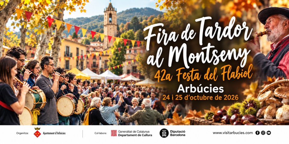
From 24 to 25 OctoberAutumn Fair in Montseny and Flabiol Festival in Arbúcies
From 24 to 25 OctoberViladrau Chestnut Fair
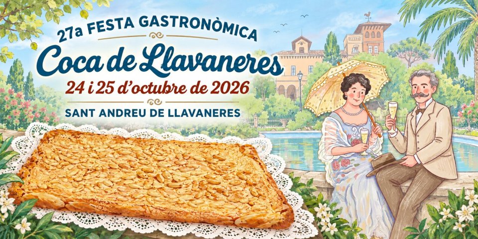
From 24 to 25 OctoberLlavaneres Coca Gastronomic Festival, Sant Andreu de Llavaneres
From 24 to 25 OctoberGuided walk in the Montnegre and Corridor Park - Fogars de la Selva
25 OctoberGuided tours through Arenys de Mar
25 OctoberNearby routes
Picnic in Barcelona area
Claro de Luna Itinerary in Santa Maria de Palautordera
Tourdera Route: From la Batllòria to Gualba
Tourdera route: from Sant Celoni to Santa Maria de Palautordera
Walk of the trees of Santa Maria de Palautordera
Itinerary through the factories of Santa Maria de Palautordera
The fountains of Santa Maria de Palautordera
Path of the natural parks
Route of Catalan art in the 18th century
Itinerary from the Batllòria to the Sierra de Can Puig
News







 Sustainable turism
 Biosphere