Artesa de Segre
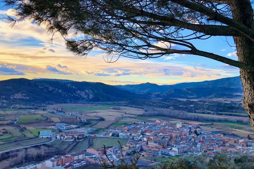
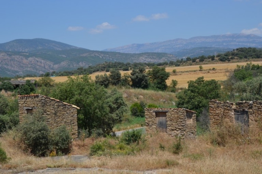
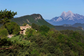
The municipality is located at the foot of the pre-Pyrenean mountain range of Montsec. The town of Artesa de Segre, is located in a peculiar geographical place: surrounded by the Montsec mountain range, by Castellot and by the Segre river that crosses our municipality, which makes it a natural area of great tourist interest.
With more than 3,500 inhabitants, Artesa is located on the left bank of the river, at the foot of Castellot and about 318 meters above sea level.
One of the elements that characterizes the municipality is the large number of population centers that form it, a total of 21, counting the main nucleus, and the EMD of Baldomar. Alentorn, Anya, Artesa de Segre, Clua, Colldelrat, Collfred, Comiols, Colonia La Fábrica, Folquer, la Vedrenya, Montargull, Montmagastre, the Alentorn Bridge, San Marcos de Batlliu, Seró, Tudela de Segre, the Ariete Valley, Vall-llebrera, Vall-llebrerola, Vernet and Vilves are the 22 nuclei.
The name of Artesa is associated with a patera or sunken place, which would be identified with its geography. They say that Artesa is a city because it had to be covered by the waters of a swamp that would be built in Salgar. The only solution to avoid this was the appointment of a city, since, according to the law, a city could not sink under water. Thanks to Joan Maluquer's friendship with King Alfonso XII, Artesa ceased to be a town, to become one of the smallest cities in Catalonia.
alentorn
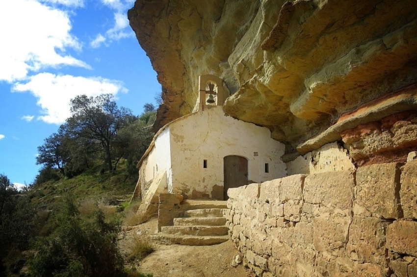
We highlight the Tossal de las Viudas, place where it is said that all the men of the population killed in a battle against the Saracens were buried and the hermitage of San Salvador located in the place where the women and children took refuge during the Saracen attack. in the bauma of a mountain.
Anya
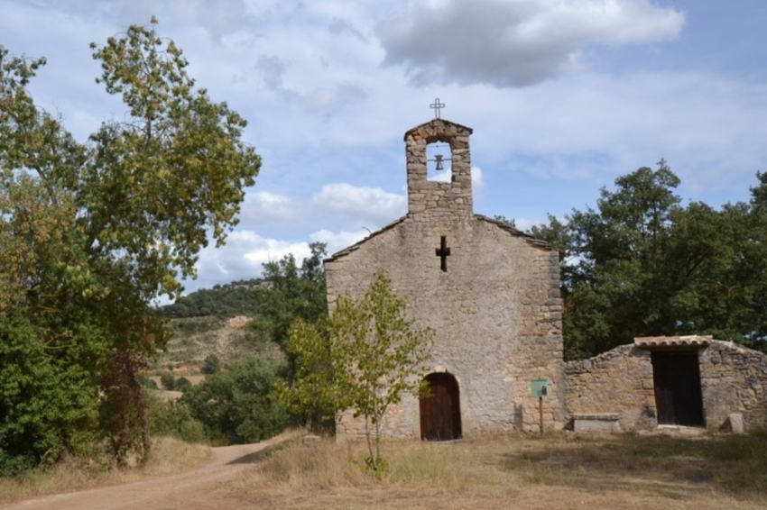
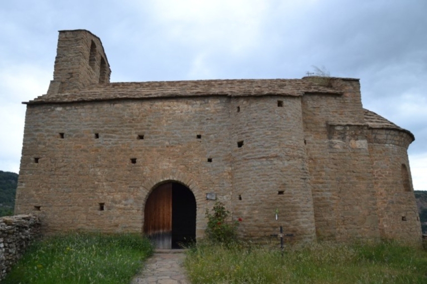
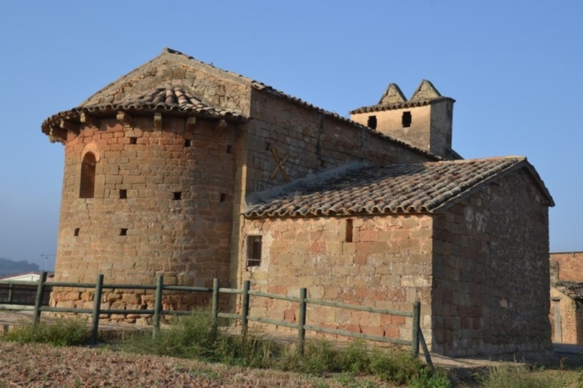
The church in the center of Anya is dedicated to the Virgin of the Assumption, but in Anya we also find the moat and the chapel of San Marcos, the Romanesque chapel of San Pedro, and the Mesquida, where there are the remains of a church and sarcophagi. In addition, at various points in the town there are also mills built outside the houses.
Segre trough
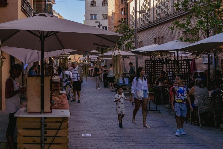
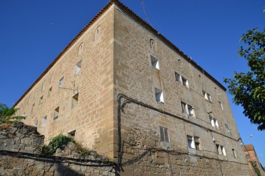
It is the main nucleus of the municipality of Artesa de Segre. We highlight the old town, where the Town Hall is located. Outside what were the old walls we find La Granja, a large building that had different uses over time, including as a refuge during the Civil War. There are also stone sinks where the women did the laundry.
Of the streets of Artesa de Segre we highlight San Juan street or Agujero de la Calipanya, the Plaza del Baile where it is said that women danced while they waited to get water from the fountain that was there; the Plaza Mayor, already inside the old town and porticoed, and the church of the Virgen de la Asunción.
At the top of the hill that crowns the city we find "lo Castellot" from where there are fantastic views and where there used to be an Andalusian settlement.
Baldomar
In Baldomar we find various springs: the Trilla spring, the San Pedro spring and the Sacred spring. In addition, there is the church of the Assumption, from the 17th century, the ice well, the remains of the bunkers of the Civil War, the bridge of the Mosque, the bridge of the devil, shared with Vilanova de Meià and the Archaeological and Paleontological Museum.
clua
Clua was an uninhabited nucleus until 1970 when 9 young people seeking a self-sufficient life settled. They devoted themselves to animals and to rebuilding houses and are currently dedicated to the production of goat cheese known as Montsec Cheese or Clua or Suave de Clua cheese.
colldelrat
Colldelrat is located near the mountain of Grialó, where the remains of the tower of the castle of Grialó can be found. Nearby are also the remains of the chapel of San Miguel de Grialó, the Tancalaporta farmhouse and the chapel of Santiago, and the sanctuary of the Virgen del Refet, near which is the Refet holm oak.
Collfred
From this nucleus there are good views of the Montsec Mountain Range. In addition, it has the parish church, dedicated to San Martín, and the castle of Collfred, from the 13th century.
The Colony the Factory
It was an old factory equipped with housing for the workers, which operated from 1906 to 1967. It is the only architectural complex of its kind in the Lleida region.
comels
The main nucleus is uninhabited and the population is scattered. What we find are the remains of the castle, with a circular tower, the abandoned houses; and the parish church of San Román.
Folk
Folquer is made up of the Montargull and Comiols farmhouses. In the past, it was a strategic point for stagecoach raids and other crimes committed by the people who lived in the Sierra de Comiols.
Montargull
It has a church dedicated to Santa María and from the Plaza del Estudio, there is a fantastic panoramic view of the Plan de Montargull, Montmagastre, Grialó and Montsec.
montmagastre
In Montmagastre we find various prehistoric elements such as megaliths, dolmens and deposits. And an anthropomorphic tomb of the Mases, of which the historical period is unknown. There is also the castle that is located on top of the hill and dates from the 10th century. And the church of San Miguel that has an underground crypt and remains of wall paintings from the 14th century.
Alentorn Bridge
As the name says, the importance of this nucleus lies in the bridge that served to unite the plain of Lleida with the Pallars. It was rebuilt after the Civil War as one of the essential elements of the return to routine.
San Marcos de Batlliu
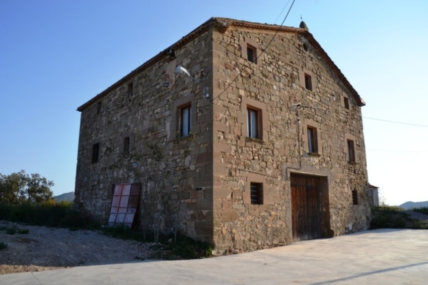
Nucleus formed by the farmhouses of the area whose religious element is the Romanesque church of San Marcos.
will be
We find the baroque castle of Seró dating from the 12th century, the Romanesque church of Santa María, the chapel of San Ramón de Peñafort and the tower of the Moors, located near the town.
Tudela de Segre
The old population was walled and the access portal is still preserved. There is also the church of San Pedro, from the 14th century, and the castle of Tudela, from the 12th century, which during the Civil War was used as a military school by the Republicans. Near the nucleus we also find the chapel of Santa Fe.
The Valley of Ram
This territorial space is subdivided into: Ariete de Sols or "disuse", Ariete del Medio and Ariete de Jefes.
Here we find the church of San Bartolomé, from the 11th century, and the castle of Ariete, of which only the remains of its construction base remain.
valley-llebrera
Located at the foot of the Sant Ermengol mountain, the nucleus of Valle-llebrera only consists of a street, a square and a balcony on a cliff. We find the door of the town and the church dedicated to Sant Ponç.
Valle-llebrerola
It maintains all the charm of a medieval town, with the town portal, the bakery and the Romanesque church of Sant Serni, from the 11th century.
The Vedrenya
It has the well-preserved church of the Virgin and the attached cemetery. In addition, it has a discovered addition from the 17th century that makes it a peculiar specimen.
Vernet
The 11th century tower around which the town's homes and the church dedicated to Santa María were built have been maintained. In the population there are also the Almazaras de Vernet, to make the wine, and the lever, space used to cross the river with a boat.
vilves
It only preserves the tower of the old castle. It has an almost square shape and a height of about 10 meters.
Nearby routes
See all routes »What to do
Mas de Colom, Casa Borges
Tàrrega (a 26 Km)The former convent and farmhouse are located on the Mas de Colom…
Turisme Urgell
(a 28.8 Km)Urgell, an inland region, very accessible and well connected, where you can…
Castell del Remei
Lleida (a 20.4 Km)Discover the Castell del Remei, a century-old winery located on a historic…
Where to eat
El Dien Restaurant
Vallfogona de Balaguer (a 25.4 Km)We love cooking, and we love our customers to receive on the…
Hotel-Restaurant Port d'Àger
Àger (a 26.6 Km)The hotel is designed to accommodate families, friends, and corporate groups, as…
Where to sleep
Cal Guineueta
Cubells (a 9.3 Km)A late 19th-century family home recently renovated as a holiday home, close…
Casa de colònies Vagons d’Àger, Fundesplai
Àger (a 20.5 Km)Vagones de Àger is located in the municipality of Àger, in the…
Monestir de les Avellanes
Os de Balaguer (a 24.3 Km)An ancient 12th century abbey adapted to the needs of the 21st…
Hotel-Restaurant Port d'Àger
Àger (a 26.6 Km)The hotel is designed to accommodate families, friends, and corporate groups, as…

