Argelaguer
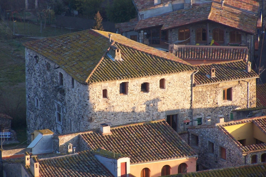
Argelaguer is a municipality in the Garrotxa region, in the Girona region.
It is located at the confluence of the Torrent del Vinyot and the Llierca with the Fluvià, in the eastern half of the region. It has poplar forests.
Its agriculture is rainfed mainly cereals and olive trees, hydroelectric industry and traditional crafts (esperdenyes, clogs).

Nearby routes
See all routes »- Route of Garrell de Argelaguer
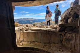
- Condal Pyrenees: a tour of the medieval… (a 4.8 km)
- Grand Tour of Catalonia - Section 4.… (a 4.8 km)
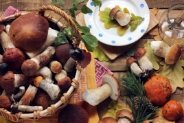
- The volcanoes' kitchen (a 4.8 km)
- Route through the stone villages of… (a 4.8 km)
What to do
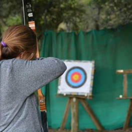
Fang Aventura
Sant Miquel de Campmajor (a 12 Km)If you like adventure, don't miss the opportunity to come to Fang…
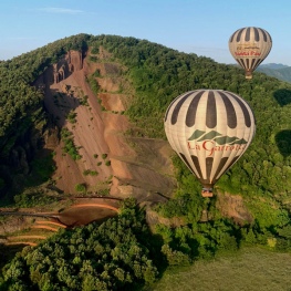
Vol de Coloms
(a 11.5 Km)Balloon flights in the Garrotxa, fly over the volcanoes of Catalonia from…
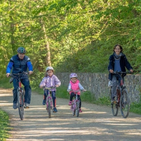
GARROTXA amb Bici
Olot (a 14.1 Km)GARROTXA amb Bici, (previously known as "Centre Logístic de Bicicletes") is a…

Where to eat
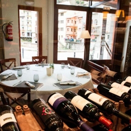
Braseria Les Comes
L’Esquirol (a 28.7 Km)Located on the premises of the Anigami Adventure Park, they offer menus…
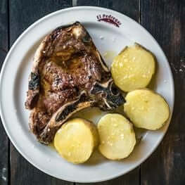
Restaurant el Pont 9
Camprodon (a 25.4 Km)A restaurant serving humble and simple cuisine, where you can enjoy the…
Where to sleep
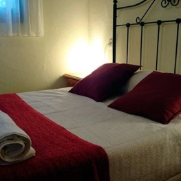
Càmping la Fageda
Olot (a 12.3 Km)The bungalows consist of two bedrooms, a bathroom with shower, a fully…
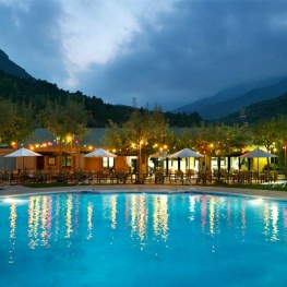

Càmping Bassegoda Park
Albanyà (a 11.6 Km)Enjoy the sky and the stars in a 1st category family campsite…
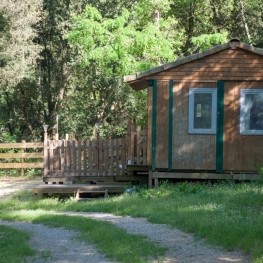
Càmping Besalú
Besalú (a 4.2 Km)Campsite located in the town of Besalú, very close to the mountain…
Events
Experiences
How to visit and care for the animals at Can Banal Natural Camping
Can Banal Natural Càmping (Montagut i Oix) (a 5.9 Km)
Activities for the whole family - Can Banal Natural Camping
Can Banal Natural Càmping (Montagut i Oix) (a 5.9 Km)