Alins (Vall Ferrera)
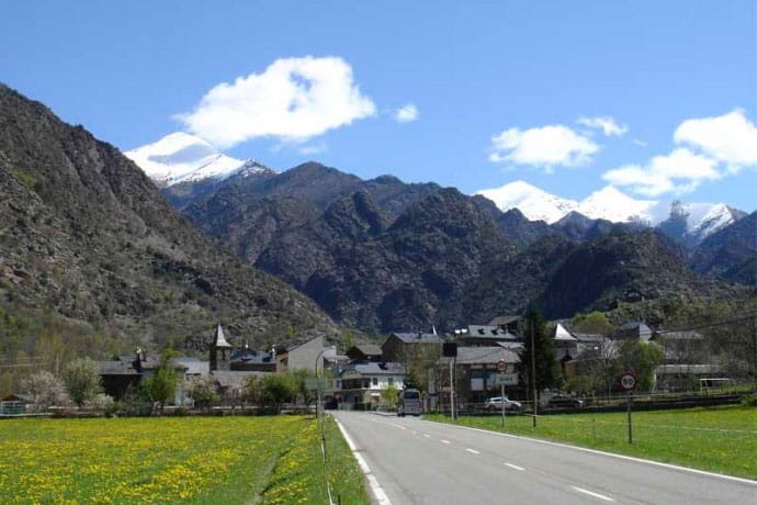


The municipality of Alins, known as the Vall Ferrera is situated in culd, bordered on the north by Andorra and France.
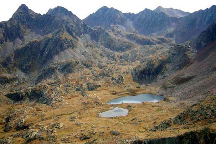
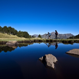
One of his term limits is the Pica d'Estats, with 3143m. Catalonia is the roof. Highlights other important summits like Monteixo (2905 m.), The Baborte (2938 m), the Salòria (2789 m), Noris (2834 m), etc., and numerous lakes (Sotllo, Baborte, Baiau) is why it has a great mountain tradition: hiking, trekking, Nordic skiing, downhill skiing, snowshoeing, fishing, etc. practiced
The main economic source of the neighbors, for many years, passed through the use of iron and wood from forests, not forgetting the importance of livestock and agriculture. Livestock remains today, collated with tourism.
The Vall Ferrera is formed by the following population.
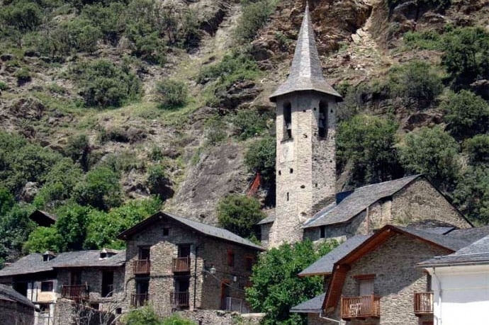
Alins
Capital of the municipality, located at 1,048 m altitude at the point where the Vall Ferrera splits between the main valley and the valley of Tor.
Alins comes from the Basque language and means Ilin was a place rich with flour. Alins is the Town Hall, the swimming pool and valley primary school.
Currently much of the town has a sustainable and modern heating system with biomass from community forests.
Alins formerly was divided into two cores, the modern town in the vicinity of the parish church, openly, and strength, small gated villa houses forming walls of which are preserved some. Among the highlights houses Alins Castellarnau House and the medieval tower, Bortomico House, the oldest of the Vall Ferrera, the Casa Guillermo nice loft, and Cintet house with a beautiful garden in front.
Of important historical value is the term Gothic cross there in front of the church and artistic level highlights the wrought iron sculptures created at different fairs Pyrenean Iron.
Ainet de Besan
Village located at 1008 m. Ainet ASNET comes from, which means that many donkeys were raised.
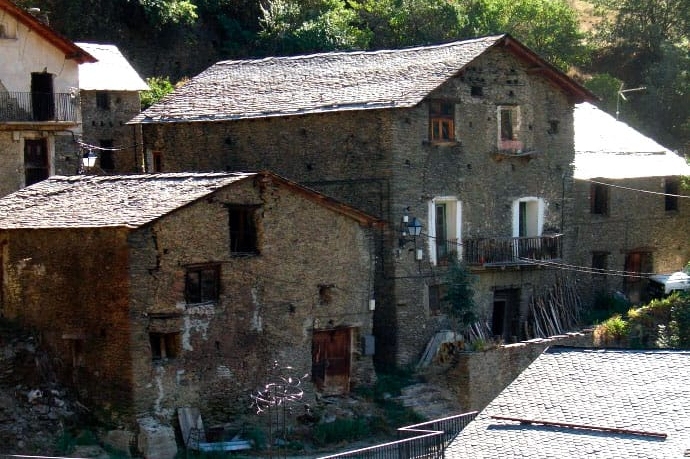
It has two nuclei: the old, attached to the rocky ground and stepped up and down in two parallel streets each other and with the rock and the road; and the modern, between the road and the river formed by seventeen townhouses called Housing Santana, and was built to prevent the danger posed by the old town the risk of falling boulders of the hillside.
The old village include several houses of high cultural value.
Within walking distance of the village he had been one of the Forges de la Vall Ferrera, known as Old Forge, the first who built the family Castellarnau and had given jobs to many people in the village. The flood of 1937 was the last of the Forge.
Araós
First village in the Vall Ferrera, located at an altitude of 913 m. Araós now comes from the Celtic and Basque OTZ, which means it is an area of cold fields.
It is a small compact core, stepped on a hill next to the church of San Esteban, although he had formerly had Castle (Força de Araós) on top of a hill located to the west of town, near the preromàmica chapel of San Francisco, and served to guard the entrance to the Vall Ferrera.
In the shade of the village stands the extensive forest Virós, communal property and one of the main economic resources of the entity Araós.
Àreu
Village located at 1,220 m at the foot of Monteixo (2,905 m.)
As Araós, Àreu comes from the Celtic and Basque NOW OTZ, meaning cold fields.
Àreu is divided into two distinct nuclei. At noon, in the middle of a plan, the town itself with elongated plant is north to south, and further north is Àreu Force, ancient walled town in a castle, which is what gives this core.
Force and the former is only the church of Sant Feliu and some other debris.
Àreu highlights of the old boundary cross, sculpture forging forging clock time in front of the church and the old sawmill and flour mill converted into a museum.
This village leaves the old road that connected the culd with the Country of Foix through the Puerto de Boet.
Àreu village known for being the owner of the largest communal farm in Catalonia, including La Pica d'Estats.
Kiss
Situated at 1,160 m altitude is the only town in the Vall Ferrera and the few of culd without road access.
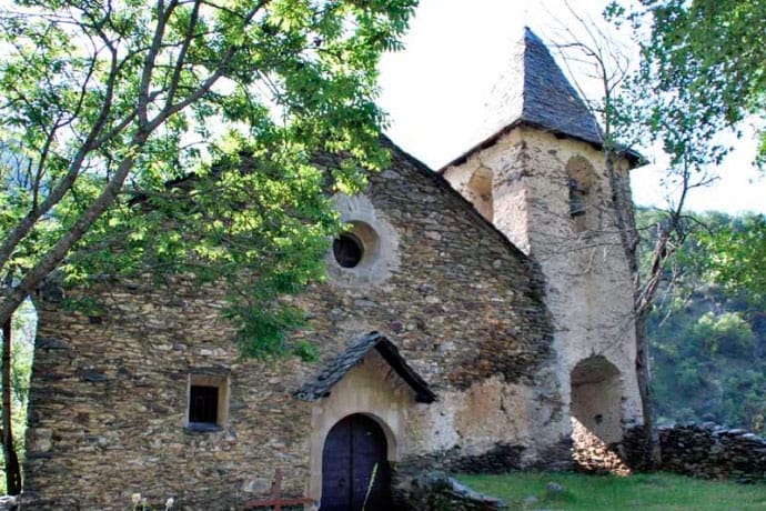
If we know we will have to discover a nice tour through the sunny side of Besan from Borda Felip that takes us to the Romanesque chapel of San Miguel and at the same village.
The name comes from the Basque Besan, meaning thicket.
It is a small and very characteristic village with wooden balconies decorating the facades of houses.
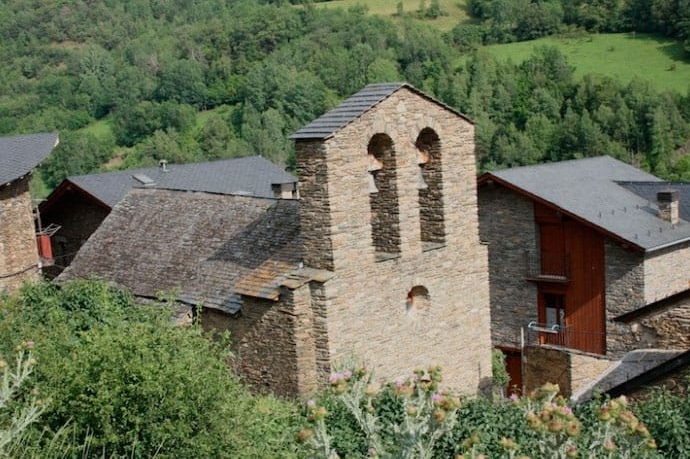
The houses form an elongated core with a single main street and the Romanesque church of Santa Maria in the lowest place.
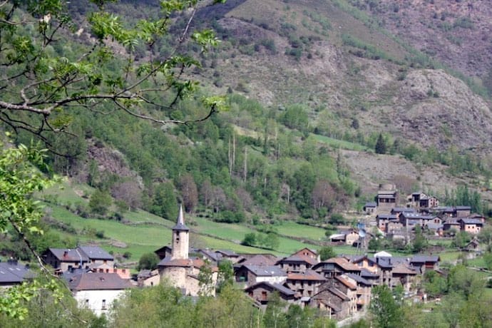
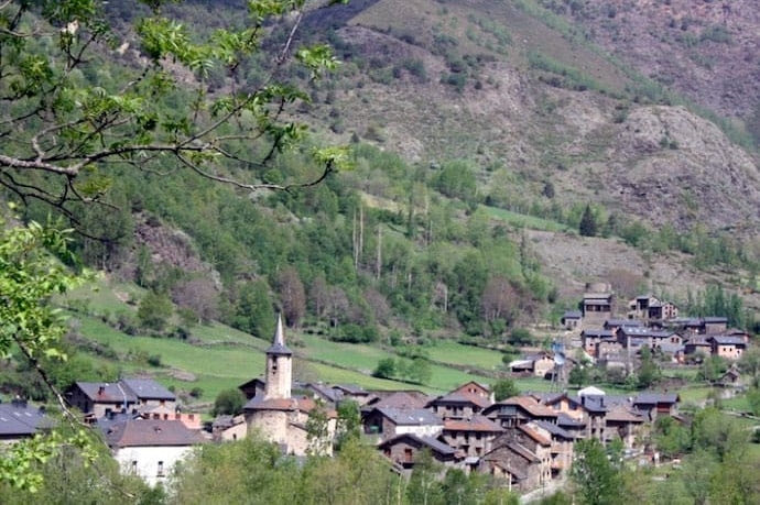
Noris
Located at 1254 m altitude, in a stunning natural landscape in the rugged valley of Tor.
The name comes from the Basque Noris with Roman roots and means place abundant in water, probably by the Noguera de Tor and the Mola gully running through it.
The village is located on the sunny side between the Sierra des Channels and High Range. Access by asphalt road, 4km from Alins.
Throughout the year there are only one or two inhabited houses, and lighting a small hydroelectric plant that uses the waters of the river Noguera Tor is responsible and which can be reached by following the same road from Alins Noris.
Light installation of photovoltaic panels complemented with is obtained.
At the western end is the church of San Saturnino, and in the middle of the square a beautiful wrought iron sculpture representing a tree.
Tor
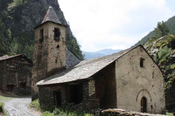
At an altitude of 1649 m, ?? is considered the village at the height of the Vall Ferrera and the second in Catalonia. Tor name comes from Basque and means hill. It is located in the northwest corner of the Vall Ferrera, on a background of valley widens from people under the Roc de Sant Pere.
In winter the access road can be cut off by snow and ice, so in winter remains uninhabited.
Tor partly a forest track, summer and part of the spring and fall, can reach Andorra by the Port of Cabús, crossing incomparable natural beauty.
Tor is a small village, with scattered houses, for which it seems that time has stopped, as it gives us the picture of how a Pallarès people in the early twentieth century was. In the village of Tor we can visit the Romanesque church of San Pedro, and above the Roc, Tor Castle and the remains of San Piri.

Nearby routes
See all routes »- Lo Pallars Fer, a route through the… (a 6.2 km)
- Route of the medieval bridges of the… (a 7.8 km)
- Certascan peak from Canalada (a 9.8 km)
- Grand Tour de Catalunya - Section 3.… (a 10.7 km)
- Seeking Freedom on the roads of the… (a 10.7 km)
What to do
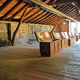
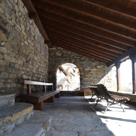
Espai museístic del Ferro Casa Sintet
Alins (Vall Ferrera)The museum offers a guided tour, made by the same family of…

Església de Sant Climent Pal
Pal (a 12.7 Km)In the beautiful village of Pal, in La Massana, the Church of…
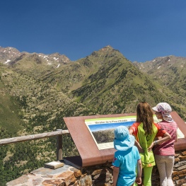
Parc Natural Vall de Sorteny
Ordino (a 14.8 Km)This natural park has a very important biological diversity and contributes primarily…
Where to eat
Roch Hotel - Restaurant
Sort (a 20.9 Km)Small rural hotel with a family character, very cozy where its owners…
Where to sleep
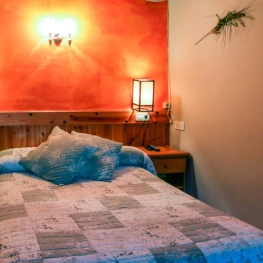
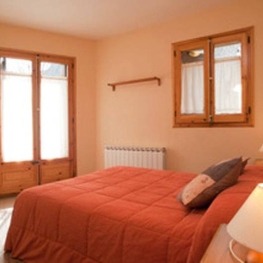
Hotel Riberies
Llavorsí (a 10.4 Km)Cozy and modern mountain hotel located in the town of Llavorsí, in…
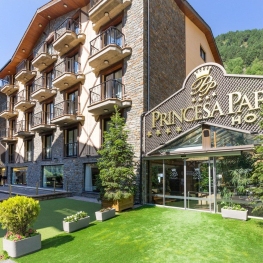
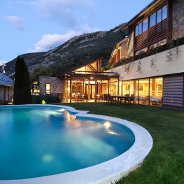
Hotel Princesa Parc Mountain Resort & Spa
Arinsal (a 13.6 Km)Enjoy a holiday in the mountains in Andorra and choose a hotel…
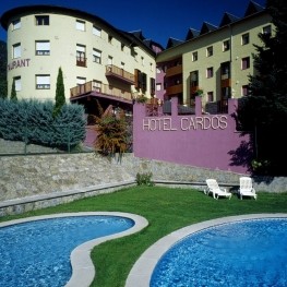
L'Hort del Metge
Vall de Cardós (a 8.9 Km)The Hort del Metge is located in the town of Lladrós, which…