Albatàrrec

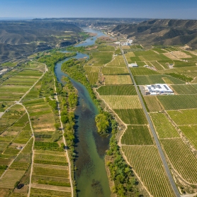
The municipality of Albatàrrego is made up of three well-differentiated natural units: the alluvial area near the Segre, with quaternary terraces, a sector to the east of the Urgellian plain and to the southeast, a series of garrigue platforms, with the 229-meter Pedrós hill of altitude.
The town has been growing in a spiral from the building known as the castle. This is, without a doubt, the most emblematic building. Albatarrec has traditionally been an eminently agricultural town with little industrial activity, but very well located and communicated, which has favored the growth of the population.
The repopulation of Albatarrec (no population chart is conserved) was contemporary in those of Vilanova de Fontanet (today La Bordeta), Albarés (also in the Lleida district) and Pedrós (depopulated in the eastern sector of the Albatarrec district) and later to 1168.
Nearby routes
See all routes »- Route to do with the family of the… (a 5.3 km)
- Ornithological route of the orchard (a 5.3 km)
- Walk between flowers and irrigation… (a 5.3 km)
- Route through l'Horta de Grenyana,… (a 5.3 km)
- Autumn colors route in Lleida (a 5.3 km)
What to do

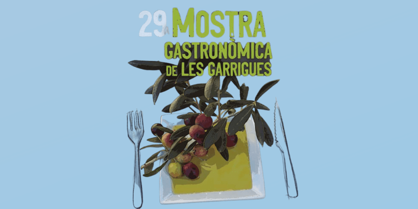
DOP Les Garrigues
Lleida (a 3.5 Km)Les Garrigues is the first Protected Designation of Origin (PDO) food recognized…
Where to eat

El Dien Restaurant
Vallfogona de Balaguer (a 26.1 Km)We love cooking, and we love our customers to receive on the…
Where to sleep
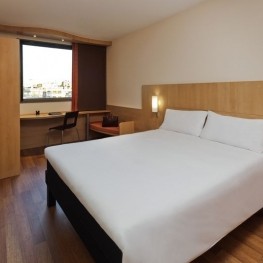
Hotels Ibis Lleida
Lleida (a 4.3 Km)Our Ibis hotel in Lleida is integrated into the commercial area of…