Summit of Sant Alís in the Sierra del Montsec
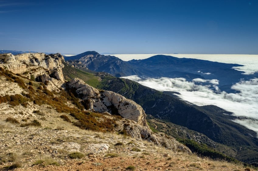
We leave from the car park next to the road that goes up to the Montsec Observatory and that connects Àger with Sant Esteve de la Sarga at the top of the mountain. At the starting point there is a wide panoramic viewpoint towards the Pyrenees and towards the Lleida plain.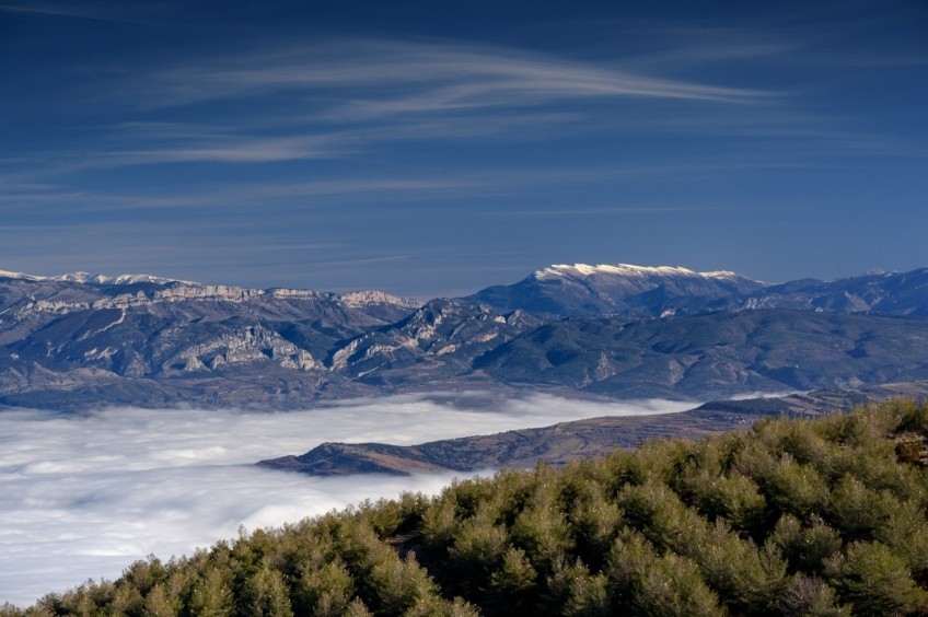
From this viewpoint, we could only continue by track to the Peña de Sant Alís, but we opted to look for some trails so as not to make the climb so monotonous: initially, we continued along the ridge and along a small path to a first hill where there is a webcam and a weather station.
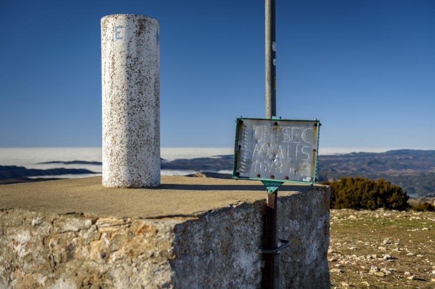
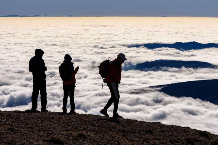
We go down a few meters and we will find again the track at the neck of the Ice Wells Pass. From this point, we will continue mostly by track up to the neck prior to the summit. We skirt the shady side of Cap del Ras and, further on, we come to a small neck. From this point, we take an old disused track that leaves us right at the top of Sant Alís. It is a wide hill from where we enjoy a good panoramic view of the entire Montsec mountain range, apart from the Lleida plain and the Pyrenees. On clear days, we will distinguish places such as Montserrat, Pedraforca (behind), Pica de Estados, Aneto and Monte Perdido. A real privilege.
From here we could start the return to the car again, but to lengthen the journey a bit, we follow the Montsec ridge until we reach some antennas that are at the next peak of the ridge. We can continue along the track or along the wide ridge where there is no marked path but you can go everywhere. If we continue along the track, the only thing to keep in mind is that you take an old path / track on the left after having passed the neck of Paso del Oso, since if we continue on along the track, it begins to descend and we would stray from the path.
From the antennas (according to the ICGC located in the Tossal de la Canal del Embut), we again enjoy a good panoramic view of the surroundings and a more eastern perspective of Montsec d'Ares.
On the way back, we undo the path, either following the track or along the ridge to Sant Alís and, from there, we do not go over the top again but we directly follow the track that goes around the ridge on the north side doing something back. We continue along the track to the car. The views on both sides accompany us throughout the section and make the track somewhat less monotonous.
Image and text authorship: Sergi Boixader
What to do
Espai Natura Congost de Mont-rebei
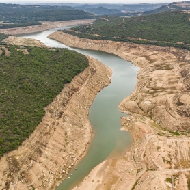
Sant Esteve de la SargaReserve protects almost 600 hectares in the Catalan side: the gorge itself…
Where to eat
Hotel-Restaurant Port d'Àger
Àger (a 2.2 Km)The hotel is designed to accommodate families, friends, and corporate groups, as…
El Dien Restaurant
Vallfogona de Balaguer (a 28.2 Km)We love cooking, and we love our customers to receive on the…
Where to sleep
Eco Càmping Terra del Congost
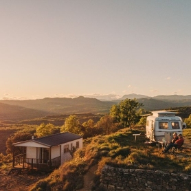
Tremp (a 5.7 Km)Terra del Congost is an old farm converted into an Eco Camping…
Hotel-Restaurant Port d'Àger
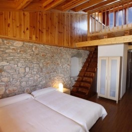
Àger (a 2.2 Km)The hotel is designed to accommodate families, friends, and corporate groups, as…
Monestir de les Avellanes
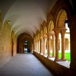
Os de Balaguer (a 14.2 Km)An ancient 12th century abbey adapted to the needs of the 21st…
Casa de colònies Vagons d’Àger, Fundesplai
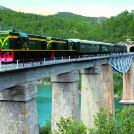
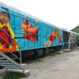
Àger (a 7.3 Km)Vagones de Àger is located in the municipality of Àger, in the…

