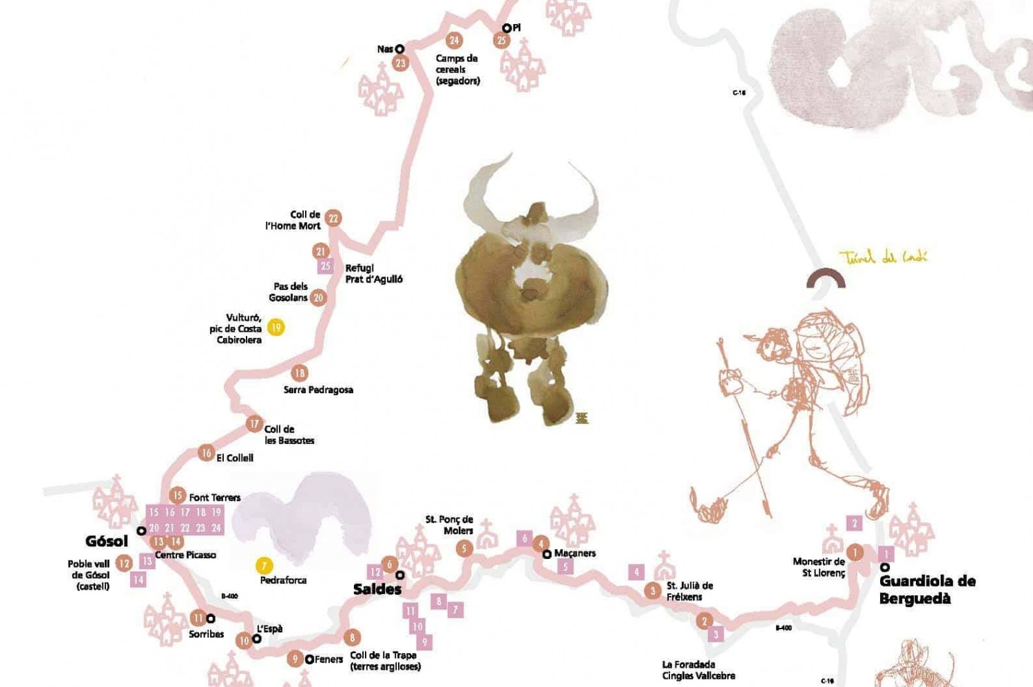
Picasso's Way from Berguedà to Cerdanya
In the spring of 1906 the painter Pablo Picasso, encouraged by a friend who knew the town, settled in Gósol. For two and a half months, the people and landscapes of this corner of Berguedà inspired the artist's work.
The journey of the Malaga genius was also due to the arrival of the steam train to Guardiola, in 1904, before the road did. But from Guardiola to go to Gósol you still had to take the royal road, the medieval bridle path, since there was no road (the first car that reached the Gósol square would do so in 1942).
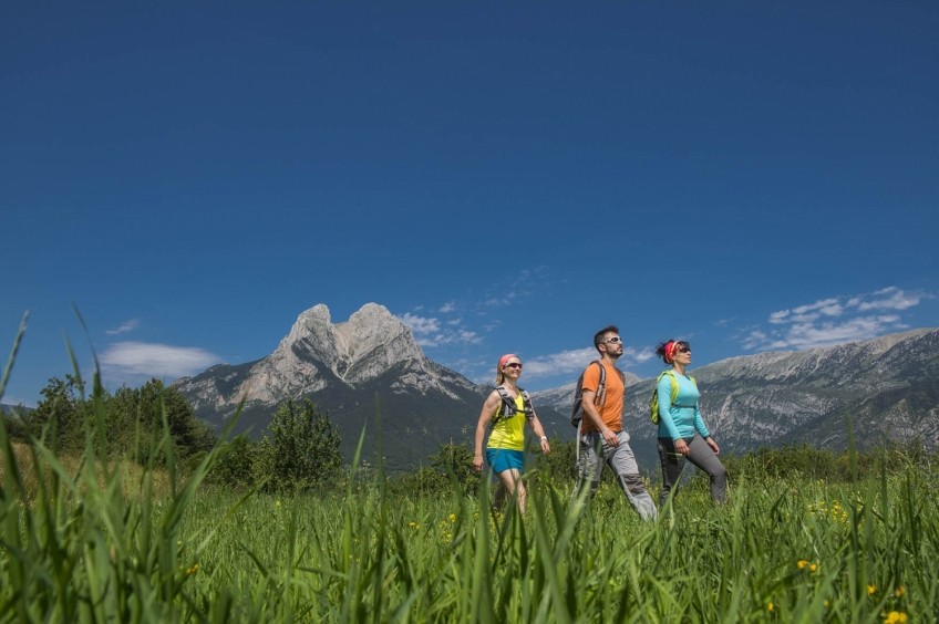
On this route we will follow in the footsteps of the Genius from Guardiola de Berguedà to Bellver de Cerdanya, passing through Saldes and Gósol.
- Distance (km): 58.5 Km.
- Approximate time: 2-4 stages
- Maximum altitude: 2,420 m
- Cumulative elevation gain: 2,370 m
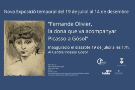
"To get there you had to make a journey of several hours on a mule, along paths surrounded, on one side, by a vertical rock wall that massacred your hands and knees, while on the other side a deep precipice forced us to close our eyes to Overcome vertigo. Those precipices did not disturb the mules in the least, prudent, and one could trust. At a precise moment I noticed the saddle straps loosen and he released me dangerously backwards. Fortunately, the porter, once alerted, he came to relocate the saddle, the mule and me. "
This is how Fernande Olivier, French artist and model, recounted in his memoirs the impression that the road would leave on him when he accompanied Picasso on that trip in the summer of 1906, leaving Gósol through the Gosolans Pass, on the way to Paris, with the canvases coiled fixed on a mule.
From Sant Llorenç to Gósol
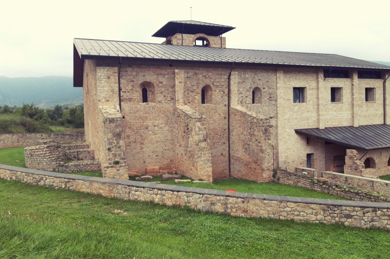
The path begins at the monastery of Sant Llorenç Prop Bagà, and leads to the Coll de los Fangassos by an impressive pass, goes down to the Saldes valley, crosses the river by a wooden lever, passes through Castellot and the Molino de Bosoms, crosses the torrent through a bridge from the time of the mines and comes out to Hostalets del Camino Real.
From here the path passes near Cal Coix and climbs determinedly to the church of San Julián de Fréixens. Then continue climbing, more gently, towards Cal Francesc, leaving the chapel of San Antonio to one side and going out to Cal Susèn, in sight of Maçaners and Pedraforca, the silhouette of the one that will no longer abandon us throughout the journey.
At Maçaners we can make ourselves pass our thirst at the source. The path continues towards Molers, passes by the Sull house (of medieval origin), reaches the town (where we find the source), continues below the Sierra de Baix, and comes out onto the coal road (a dirt track that in the 1940s had already replaced the royal road), which leads to the Molino de la Palanca, on the Salt Water.
The path climbs to Saldes, crosses the town, continues towards the Cardina and Serrat neighborhoods, crosses the Gósol road and takes the old Feners and Espà royal road.
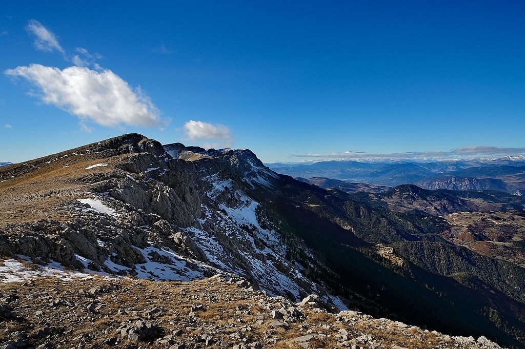
The restored path climbs through the clay cliff of Coll de la Trapa and descends to the stream, looking for the old path of Gósol. Here we find a spectacular and impressive desert landscape caused by an outcrop of eroded clays forming terroirs and cracks due to the absence of vegetation. The garish, reddish and ocher hues of the rocky outcrops dominate the landscape. It seems quite clear that Coll de la Trapa inspired Picasso, since these are the colors that characterize the pictorial work done in Gósol.
After the pass, the path passes under the current road and passes through the towns of Espà and Sorribes, where we can make a stop. From Sorribes the path goes up to the Coll del Cap de la Creu, where Gósol is already visible, where the painter arrived at the end of May 1906.
From Gósol to Bellver de Cerdanya
The painter left Gósol twelve weeks later along the path known as the Path of the Reapers since it is the same path that the Gosolencs used to go to do the harvest campaign in the Cerdanya valleys during the summer.
The road leaves the town of Gósol heading north, following the yellow and white markings of PR 124 until past the town of Nas- along a stony coast from where the entire Gósol valley and a good part of the Agua de Valls and the Ensija mountain range; and reaches the neck of Fuente Terrers, where we find the source of the same name.
The path continues towards Pla del Martí and climbs gently until it finds the Coma de Caners stream -from where the path that goes up to Pedraforca via Verdet- starts. Here the path begins to climb through the forest in some steep sections that lead to cross the hill of La Portella by Cap de la Portella.
After the pass, the forest is increasingly sparse until it becomes a meadow that we flank towards the east with the Cerneres valley to the north and northwest. You go through the source of the Rock and you reach the Collell. This pass is the watershed between the Llobregat, through the Gresolet valley and the Segre, through the Cerneres valley.
The road - now a forest track closed in winter and heavily trafficked by vehicles in summer - reaches Pla de Bassotes. The name of the place comes from the abundant number of rafts of water that are scattered and that always have more or less water and that serve to water the cattle.
Leave the track to follow the path that climbs the plane heading north and begins a continuous ascent towards the Prat Toixoneres, the Costa del Clot del Moro, the Prat Socarrat until reaching the top of the Sierra Pedregosa. flanking to the Clot de Palomar where a last slope places us at the Paso de los Gosolans, between the rounded summit of Comabona to the east and the followed Dentell on the north slope of the Sierra del Cadí. In the background you can already make out the Prat de Aguiló where you can access some stony stops that zigzag along the north face of the mountain range.
From the refuge, the path goes down a busy track -especially in summer- to the Dead Man hill where the path recovers old paths linked to the Eres, the Mala Terra and the Planes d'Hereus to reach the towns of Nas and Pi, already in the valley - from a little before reaching Pi, the path is signposted with the red and white GR 150 markings up to Talló -. In the latter town, the old smithy has become a small, self-visiting interpretation center, where you can see how iron was worked in ancient times. And, who knows if Picasso himself stopped to repair some damaged horseshoe of the horses that had led them to cross the Cadí! From here the path reaches Talló and Bellver, the end point of the route.
Source: Berguedà Tourist Office
Source: Berguedà Tourist Office

What to do


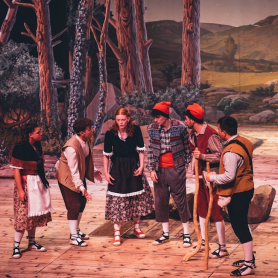
Els Pastorets de Berga
Berga (a 14.9 Km)Since 1900, these Pastorets have been performed in Berga without interruption, with…
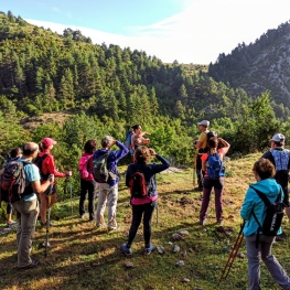
Penyes Altes Outdoor Services
Bellver de Cerdanya (a 3.6 Km)Discover new places and new adventures with the help of our team…
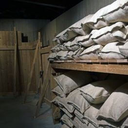
Parc dels Búnquers de Martinet i Montellà
Montellà i Martinet (a 7.6 Km)The memory space and Interpretation Center of the Park of the Bunkers…
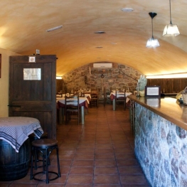
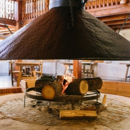
Where to eat
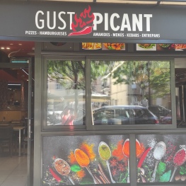
Restaurant Gust Picant
Berga (a 14.6 Km)At Gust Picant, you can enjoy affordable menus with a wide variety…

Bar Restaurant El Jardí
Sant Llorenç de Morunys (a 12.7 Km)The Bar-Restaurant El Jardí de Sant Llorenç de Morunys offers traditional cuisine…
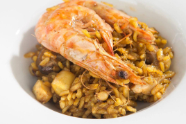
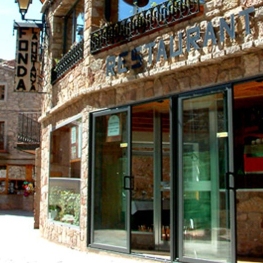
El Recó de l'Avi
Guardiola de BerguedàTypical homemade cuisine, with oak-grilled meats, a wide variety of tapas and…
Restaurant Apartaments Els Roures
Castellar del Riu (a 13.9 Km)Rest, charm and good cuisine, a unique space located in Berguedà, at…
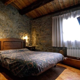
Where to sleep
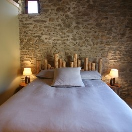
Cal Mateuet
Lles de Cerdanya (a 7.4 Km)The Cal Mateuet rural house is located in Cerdanya, in Travesseres, a…
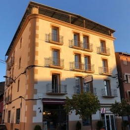
Hotel Terminus
Puigcerdà (a 13.8 Km)A Bed & Breakfast hotel recently renovated, and decorated in a modern…
Hostal la Muntanya
Castellar de n'Hug (a 12.5 Km)Family hostel located in Castellar de n'Hug. It offers various accommodation options,…
Vilamaroto
Meranges (a 8.2 Km)House from 1850 rehabilitated. We have preserved many architectural and vital elements…