


Municipalities
The Itinerary that is presented culminates in the majestic Pic de l'Estanyó (2,915 m). This demanding route with a drop of 1,135 m will give us the opportunity to discover the Vall de Sorteny natural park and reach one of the 7 peaks in Andorra that exceed 2,900 m and which, thanks to its privileged location, makes it an exceptional viewpoint of the highest peaks in the Pyrenees.
This route is the ideal place to discover Andorra 's alpine flora and fauna.
It is 11,720 meters long and it can take you between 3.5 and 4 hours to complete it.
- Difficulty: high.
- Unevenness: 1,135 m.
- Time: 3'5/4 hours. about.
- Kilometers: 11'72 km.
The route begins in the Caña de la Rabassa parking lot, where you will find the information point for the Sorteny Valley Natural Park. (42º 37' 33.0672", 1º 33' 6.8004")
The situation of this itinerary takes place through subalpine meadows, watercourses and black pine ( Pinus Uncinata ) forests. All this will offer us an ideal setting to observe high mountain fauna and flora. At the beginning we will find tremors ( Populus tremul a) and birch trees ( Betula pendula ) where we can hear and see some broom finch ( Pyrrhula pyrrhula ) and the woodpecker ( Dendrocopos major ). Butterflies will also make an appearance and we highlight the Reddish Maiden ( Boloria euphrosyne ), a species very similar to the Brown Maiden that is distinguished by the design of the reverse of the wings. The first adults emerge at the beginning of May, but it is between the second half of June and the first half of July when the largest population flies.
It should be noted that in the Sorteny Valley Natural Park we will find plants for medicinal use such as currera herb ( Achillea millefolium ) which is usually used for bronchopulmonary colds, indigestion or circulation problems; the cornera ( Amelanchier ovalis ) indicated for hypertension or as a blood purifier or the large arnica ( Arnica Montana ) known as analgesic or anti-inflammatory, among many others. If we walk carefully and look closely, we can see gangs of chamois.

Pic de l'estanyo a Andorra
For your safety, we recommend that you do all the itineraries above 1,700 meters from the end of June to the end of September. However, weather and ground conditions permitting, the season could extend from May to October.

Nearby routes
Iron Route in Andorra
Ordino
The Iron Route is part of the cross-border Iron Route in the Pyrenees, awarded by the Council of Europe. This route invites you to discover the resources linked to the process of obtaining, transforming and selling iron.
Route of the Tamarros in Andorra
Ordino
The Tamarros are mischievous beings, half legend and half popular imagination, who live in their private world. They are the protectors of nature and the forests of Andorra. From what is known, in Andorra, there are seven, and in Ordino one…
Related routes
Circular route through the Parish of Canillo in Andorra
Canillo
The route that we present will allow us to get to know one of the high parishes of Andorra. This route will take you through some of the most beautiful and emblematic landscapes of this area of the parish, such as mountains, peaks and valleys.…
Route of the Tamarros in Andorra
Ordino
The Tamarros are mischievous beings, half legend and half popular imagination, who live in their private world. They are the protectors of nature and the forests of Andorra. From what is known, in Andorra, there are seven, and in Ordino one…
Long itinerary of the Tomb Lauredià in Sant Julià de Lòria
Sant Julià de Lòria
Fantastic circular itinerary in the parish of Sant Julià de Lòria, where we can discover the most unknown places in the southern valley. The alternation of open areas with spectacular views of the parish and imposing forest areas…
Events
Salou's main festival on October 30th
From 25 to 30 OctoberLlançà in autumn, September and October
From 1 September to 31 OctoberSostibaix, the sustainable fortnight of Baix Llobregat
From 15 October to 1 NovemberSant Narcís Fairs in Girona 2026
From 23 October to 1 November'La Moguda Gastronòmica' in Santa Perpètua de Mogoda
From 9 October to 8 NovemberCalamarenys - Arenys de Mar Squid Gastronomic Days
From 9 October to 8 NovemberDry stone photography contest in Torrebesses
From 20 October to 20 November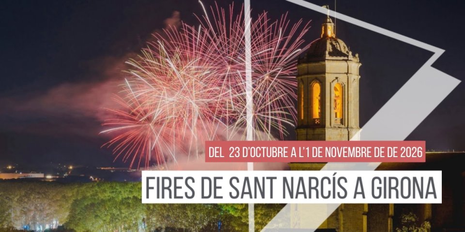
News







 Sustainable turism
 Biosphere