Castellsapera and Tres Cruces Hill Route
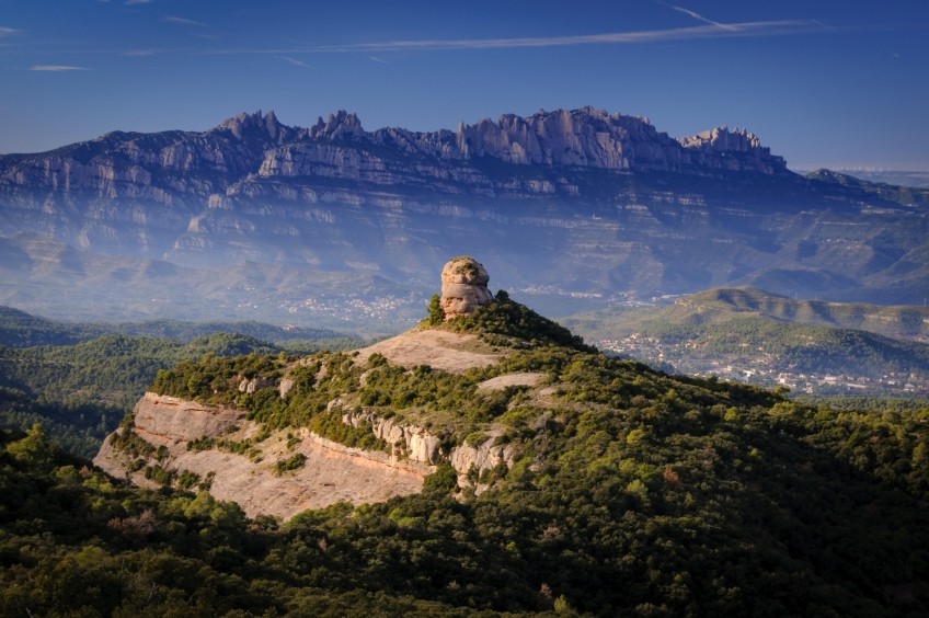
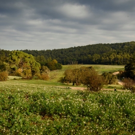
Less known than the neighboring mountain range of Sant Llorenç del Munt, the Obac mountain range is a good place to get lost and discover some of the rock formations that rise above the forest. In addition, from these viewpoints we will have great views of Montserrat and Sant Llorenç del Munt. For this reason, we propose a route through two of the highest peaks of the Sierra del Obac, such as the Cerro de Tres Cruces or La Pola and Castellsapera.
Difficulty: low / medium. Caution to the last climb of the Castellsapera (especially if it is a pier) and the orientation from the Fuente de la Pola to the track that passes near the top.
Difference in altitude : 287 m of cumulative positive difference
Time: between 2h 'and 2h25' according to rhythm and stops
Kilometers: 6 km
Variants: Apart from the option of doing this itinerary with a wider circular, another option is to add the route through the Carena del Camino Real to the foot of the All Year Paller (to climb it we would need a rope since it is almost a climb). As an alternative option, we could also start the route from the Casa Nueva del Obac making an itinerary through the Altos de la Pepa.
Access: From Terrassa, we take the BV-1221 towards Matadepera. We can also skirt Terrassa on the outside through the B-40 until the link with the BV-1221. We cross Matadepera heading north and follow this road until we reach a sharp bend to the right where we will find the Encina del Sal·lari car park on our left. It is possible that, depending on the day and time we go, we find the parking lot quite full.
We left the Encina del Sal·lari car park and went back to the top of the car park. We will follow the paved track on the left (where there is a fence that prevents vehicles from passing). This track, after making several loops, reaches the neck of the Tres Cruces. In the 180º curves we will avoid the forks that leave the central track. A section later, the track is no longer paved. We ignore again the detours that come out on the left and that would border the Castellsapera quite below.  We arrive at the Coll de Tres Cruces, a knot of paths on the crest of the Sierra del Obac. In this clearing of the forest, we will turn to the left, following the marks of the GR-5 that go in the direction of the All Year Paller. Along this path, another one comes out (it is where we will return from Castellsapera). Now we go down a few meters through the holm oak and boxwood until we reach a new rock clearing where we see the All Year Haystack lined up just in front of the Montserrat mountain. At this point, we leave the GR-5 and turn left onto a path that goes back into the oak (we will see a red arrow on a rock).
Shortly after, we have the alternative of skirting the Castellsapera if we continue straight or of facing the Canal del Castellsapera until shortly before the summit. We opted for this option: For this reason, we must turn left into a rocky clearing (there is a landmark in the ground) and we start to go up through the oak without too much difficulty.  Higher up, the path becomes straighter to the point that at some point we will have to help ourselves with our hands and trunks. We will arrive at a kind of pass and we will go down a few meters to find the path that goes up to Castellsapera on the other side. We follow it to the left and, after a rocky strait, we reach the top plan. We contemplate the views of a good part of the Sant Llorenç del Munt and l'Obac Natural Park and the imposing vision of Montserrat, often in the mist.
To go down, we will continue on the east side of the mountain, therefore, we will not go back up the collar and the channel through which we have come. The first section of this descent is especially straight and at some point we will help ourselves from the roots and the rock (caution if you are on a pier).
A section further down, we will find a deviation between the path that descends to the right and what continues ahead planning under the Castellsapera cliffs. We choose to follow this path.
We pass by the foot of the Castellsapera cliffs and below a rock pierced by the road that passes through the middle. Further down, we avoid a deviation to the right (we continue to the left, busier) and a few meters further on, we take a path to the left again (milestone, we leave another path to the right) that will make us go up a small hill of rock.
Next, we descend from this rocky hill to follow the path that will go down between the oaks until we reach the Coll de Tres Cruces again.
Now we have to go up to the Tres Cruces or Pola Hill. The quick option would be to do it on the track to the right (which is where we will return), but we opted to take the path that leaves us on the left and goes around the side of the mountain to the Fuente de la Pola.  We follow a wide path, with path sections, planning under the cliffs of Cerro de la Pola. We pass the area known as the Porquerisses. On some rock we find marks of the Local Path and we also pass by the side of the Balma de la Porquerisses site. Right after, the path changes its slope and we continue along a more wooded section to the Fuente de la Pola. Before arriving, we avoid a path that goes to the left.
The Pola fountain is a good picnic area where you can eat something and where you can surely find water. From this point, we keep going and now we will face a climb up a canal, right next to a cave that forms the rock.
Once we have passed the canal, we will turn to our right, heading east, and we will go up a section of holm oak with a little beaten path but with some goals that will help us to orient ourselves and not deviate. The last section we do through a rocky area and, again, we find some landmarks. Shortly after, we find the path that goes to Cerro de la Pola or Tres Cruces. We follow it to the right and in a few minutes we arrive.
To go down, we will go back along this path that goes to a forest track where the GR-5 runs. Finally, we only need to follow this track to our right and not to Coll de Tres Cruces, after passing through a water tank. From the Coll de Tres Cruces, we undo the track where we have climbed up to the Sal·lari Oak.
Image and text authoring: Sergi Boixader
What to do
Granja Aventura Park
Viladecavalls (a 4 Km)Come and enjoy a wild day at Granja de Aventura Park, a…
Museu Castell de Rubí
Rubí (a 8 Km)The Castell Municipal Museum aims to exhibit and disseminate the city's history…
Monestir de Sant Cugat
Sant Cugat del Vallès (a 11.7 Km)In the center of the city, in the Plaza de Octaviano, we…
Where to eat
Taverna ümet
Sabadell (a 7.9 Km)Taverna Ümet is a restaurant in Sabadell offering creative tapas and flavorful…
Fàbrica Moritz Barcelona
Barcelona (a 23.8 Km)The Moritz Factory Barcelona is a unique space, divided into three floors,…
Restaurant Marisquer Can Ladis
Sant Fruitós de Bages (a 16.3 Km)The Can Ladis Seafood Restaurant, located in Sant Fruitós de Bages, is…
Where to sleep
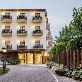
Balneari Termes Victòria
Caldes de Montbui (a 14.4 Km)At the Balneario Termes Victoria Hotel we want you to feel at…
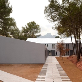
Alberg Viladoms de Baix, Fundesplai
Castellbell i el Vilar (a 2.8 Km)Viladoms de Baix is located in the municipality of Castellbell and Vilar,…
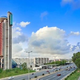
Hotel Hyatt Regency Barcelona Tower
Barcelona (a 25.6 Km)The Hyatt Regency Barcelona Tower hotel will offer you an unforgettable experience…
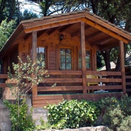
Càmping El Vedado
Vallromanes (a 23.4 Km)Mountain campsite located near Barcelona. Ideal for visiting Barcelona since it is…


