Route through the Sierra de las Torretes and the Castillo de Rosanes
The mountainous area of Martorell is concentrated in the south of the municipality where the crest is the limit of the municipal area.
Numerous roads and trails cross this part of the mountain, which borders the protected area of the Ordal Mountains and becomes a good watchtower to contemplate the entire municipality and much of the north of the region.
The route through the Sierra de las Torretas - Castillo de Rosanes allows you to get to know a variety of aspects related to the history of the Villa de Martorell, the use of the land at different times and to get a good view of the municipality of Martorell and a good part of the Baix Llobregat region .
The zones of existing forests correspond to forests very young and little developed, what does not prevent the existence of places of interest and remarkable beauty.
The Sierra de las Torretas mostly corresponds to the north face of the Ataix mountain range. Formerly it was occupied by vineyards and today by forests of bushes and pines.
The Sierra de las Torretas is a good viewpoint over Montserrat and Martorell and is named after the watchtowers that were built to monitor possible invasions.
Technical information
- Departure point: the start of the itinerary is at the upper end of Muntanya street, which is accessed from Calle del Mercadal. You have to pass under the viaduct of the A-7 motorway and follow the track that starts at this point. The route ends in this same place.
- Extension: the approximate length of this itinerary is 5.5 km.
- Itinerary: from the upper end of Muntanya street we will follow the track that, with a remarkable slope, takes us towards the mountain, going up the Torrent de Rosanes.
Ancient water mine
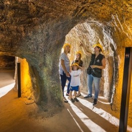
Shortly after starting the ascent, on the left, there is an iron gate that closes an old water mine. This mine is one of the few that have been conserved of the many existing, built to provide water to the houses of the village.
The ownership of the mines was private and the richest houses had direct water from the mountain. Upon entering the mine, going down a few steps, you can see the arrival of the water and the decanting installation to avoid the dragging of dirt and dirt.
The mine goes into the mountain, without any work. The water, with a scarce flow, comes from filtrations of rather superficial character. Due to the characteristics of the catchment, the flow is directly linked to rainfall.
From this point we have a good panoramic view of Martorell and its urban structure (we can see the differentiation between the old town, modern urban areas, industrial areas and farming areas).
La Torreta Griminella and La Torreta del Clos
Following up we find the Chapel of San Francisco.
Above we can see the panoramic view of the Congost and the Devil's Bridge, which shows the importance of Martorell as a communications center throughout history.
Up the road you come to a small plain with some olive trees. On the right a narrow track opens that gives us access to Torreta Griminella and Torreta del Clos. From this point there is an interesting view on the Congost and on the Baix Llobregat region. A few meters behind is the deviation that takes us to the Torreta del Clos.
Between both towers you can see some remains of the ancient vegetation that covered the mountain. (Olive trees, almond trees and vineyard). The vineyard fell into decline in the mountain area due to the phylloxera plague of the late nineteenth century and was not replanted. Since then the vineyard has occupied exclusively the plain. The margins of dry stone that are observed throughout the itinerary correspond to the work of the farmers to facilitate the use of the land and limit the action of erosion.
Castle of Rosanes
From the Torreta del Clos you have to undo the road to resume the main itinerary and continue to the right until you reach the point called the Cuatro Caminos. Here the paths coming from the Palau converge, with that of the Roca Dreta, which continues towards the old lead mines and the castle of Santiago.
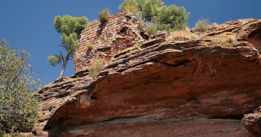
From the Cuatro Caminos, a modern track allows us to surround the Rocks of Matauet, on which the remains of the castle of Rosanes are preserved . This zone preserves sectors of especially dense forest, with pines and cypresses planted in a repopulation in 1964. Among these trees are preserved some olive and hazel trees, vestiges of ancient crops. The set of rocks is especially interesting for the forms that erosion action has taken.
At the foot of the rocks rises the torrent of the Valley, in the so-called Corner of the Valley, a slightly humid zone.
Back among rocks
Going back to the Cuatro Caminos, we rediscover the main itinerary that, following the stream of Rosanes, will place us before the turret of the Clos. From this point you can clearly see the set of rocks of Cap de l'Aguila, also interesting for the effects of erosion.
The last point of the itinerary corresponds to the Roca Dreta. We find this rock represented in the work of several artists, especially in the work of Lluís Rigalt. This painter chose this place to make some drawings and paintings, with views of the Rock and Montserrat. One of them can be seen in the Prado Museum in Madrid
What to do
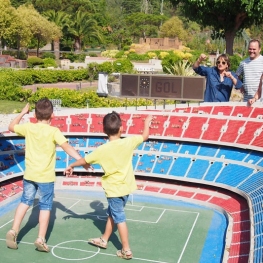
Catalunya en miniatura
Torrelles de Llobregat (a 13.5 Km)A theme park where you will find an exhibition of 1:25 scale…
Fundació Xarxa Espectacles familiars
Terrassa (a 11.8 Km)The main activity of the Xarxa Foundation is the regular programming of…
Museu Castell de Rubí
Rubí (a 8.2 Km)The Castell Municipal Museum aims to exhibit and disseminate the city's history…
Where to eat
Bodega Miquel Jané
Font-rubí (a 24.5 Km)Discover the world of wine with our comprehensive viticulture and oenology courses,…
Restaurant Windsor
Barcelona (a 20.8 Km)The Windsor restaurant, located in Barcelona, is a benchmark of contemporary Catalan…
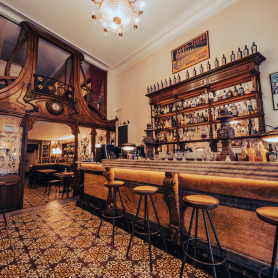
Bar Muy Buenas
Barcelona (a 22.3 Km)Few words better define Muy Buenas than "coherence." Purely modernist decor, restored…
Where to sleep
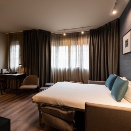
Atenea Rekord Suites
Barcelona (a 19.4 Km)The Atenea Rekord Suites Barcelona is a boutique hotel with 15 modern…
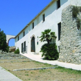
Casa de colònies Can Grau, Fundesplai
Cubelles (a 20.2 Km)Discover Can Grau, an old wine-growing farmhouse from the 16th century. XIV…
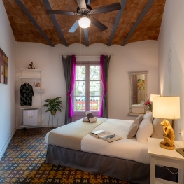
Aparhotel Atenea Barcelona
Barcelona (a 19.2 Km)The Aparhotel Atenea Barcelona, located in the heart of the Les Corts…


