Route through the neighborhoods of Pardines under the shadow of the Sierra Cavallera
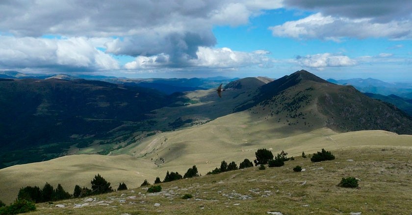
We propose this circular route through the municipality of Pardines, in the Ripollès, crossing the Sierra Cavallera and its spectacular views. The distance of the route is 9 km.
Do you cheer up?
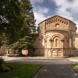
The itinerary begins in the Plaza del Padrón, very close to the R130 sign (Pardines). We went through what had been the old castle of Pardines, next to the church of Sant Esteve. Both buildings were part of the ancient walls that surrounded the medieval core of the town. This fact can be seen in the Romanesque apse of the church, which together with the bell tower had been used as defense tower.
We go down the Calle Mayor and continue along Calle de Camprodon, where we find the sign R131 (via cattle). Following this old path we descend towards the valley's bottom, passing through the small dispersed neighborhood of Llavanera. We cross the river Segadell by the bridge of Molí de Roca where we find the signal R121 (Vilaró). We head towards Sant Martí de Surroca, following the cattle trail that will take us, after a steep climb, to the center of Puigsac, where we will find the Romanesque church of Santa Magdalena.
We leave Santa Magdalena behind and continue walking up the track leaving the big house of Can Roca on our left. A little further up, before crossing a torrent, we leave the track to continue along the cattle track that climbs through meadows and recovers again the track where we climbed further on.
We continue up the track to a signposted junction that tells us the way to go to the Pla del Estany and the Pozo de hielo.
 We leave the Itinerànnia network to head for this new wide road that in a few minutes takes us to the Pla del Estany where, sunk, we find the Can Roca lake. A billboard informs us about the important ecological values that these humid areas have. To visit the ice well you have to go to the opposite shore of the lake on paths milled by cattle.
At the end of the pond, the route leaves the path that we followed to go to the right crossing the meadows, at the end of which a well-marked path leads to Pla de Bardina, from where the views towards the Puigmal and neighboring mountains they are spectacular. We return to find the signs of the Itinerànnia network just in a curve of the wide track that goes down from the Portella de Ogassa. You have to go down this track parallel to the Torrent del Vilaró.
After a few meters we leave the track on a path that goes to the left and crosses the stream. On a short but steep climb we reach the Coll de Bac and a little further up to the remains of a hut and closed for cattle.
We begin to descend through the Sierra de Can Dulsat. In an open area the road turns to the left and goes into a dark forest. The descent along this road is fast and leads us to some plans on the house of Can Dulsat, where we find a second billboard, this one with an orientation table.
 We continue along the ridge and go down quickly until we find the cement track to go to Can Dulsat's house. A few meters further down we cross the road to Vilaró.
At this point, if we do not want to return to Pardines by the same road, and we have time and strength, we can choose to follow the trail to the left that once crossed the river leads us to the signal R129 (Mas Ventós) and this climb to the town. Now, the route proposed here goes to the right, passing through the houses of Vilaró, where we follow a path that goes down towards the bridge of Molí de Roca, where we find the sign R121.
Finally we make the way back, now going up to Pardines, beginning and end of the itinerary.
Source: Regional Council of Ripollès
What to do
Terra de Comtes i Abats a Sant Joan de les Abadesses
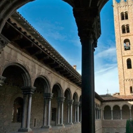
Sant Joan de les Abadesses (a 10.7 Km)Tierra de Comtes y Abats offers you a lot of proposals to…
Cremallera de Núria
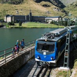
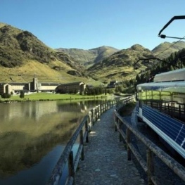
Queralbs (a 11.1 Km)Get to know the Núria rack railway and enjoy a unique experience…
Terra de Comtes i Abats a Ripoll
Ripoll (a 12.6 Km)Terra de Comtes y Abats offers you a lot of proposals to…
Museu Etnogràfic de Ripoll
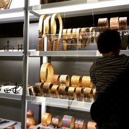
Ripoll (a 12.6 Km)The first museum in Catalonia dedicated to ethnography. Through the Ethnographic Museum…
Where to eat
La Santa Restaurant
Ribes de Freser (a 5.6 Km)Our fires cook locally sourced food, harvested using traditional methods. We support…
Restaurant el Pont 9
Camprodon (a 12.3 Km)A restaurant serving humble and simple cuisine, where you can enjoy the…
Hostal la Muntanya
Castellar de n'Hug (a 16.6 Km)Family hostel located in Castellar de n'Hug. It offers various accommodation options,…
El Recó de l'Avi
Guardiola de Berguedà (a 29.1 Km)Typical homemade cuisine, with oak-grilled meats, a wide variety of tapas and…
Where to sleep
Hotel Vall de Núria
Queralbs (a 10.6 Km)It is located in the center of the wonderful Núria Valley, hidden…
Angelats Hotel
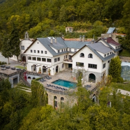
Ribes de Freser (a 5.6 Km)Surrounded by an ancient forest, with wide paths to explore, the 20…
Hotel Cims de Camprodon
Camprodon (a 12.6 Km)The Hotel Cims Camprodon is located right in the center of Camprodon,…
Càmping Conca de Ter
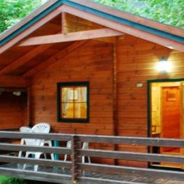
Vilallonga de Ter (a 7.9 Km)The Conca de Ter Bungalows are located in the Camprodon Valley, in…

