Route between the old parishes of Gombrèn, Campdevànol and the Llosses
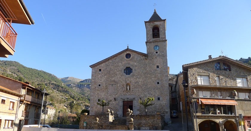
Round trip through the Ripollès that will allow us to discover old parishes of Gombrèn, Campdevànol and the Llosses.
The distance of the route is 14 km and of medium difficulty.
We start the itinerary in the Roser de Gombrèn square, just in front of the church of Sant Pere.
We take the road towards Campdevànol and at the exit of the village we find the R53 sign (Camino Ral). We went down the old ral and cattle road that joined Campdevànol with the summer pastures of the Sierra de Montgrony. The road leads to a bridge over the river Merdàs.
Crossing the bridge, the path becomes a path between the fields and ends in a wide track to follow to the left. We went through the farmhouses of Can Macari and Cal Daldic. We arrive at the R52 sign (Caliquet) where we have to leave the track to quickly climb the terraces until we find a path that leads us into the forest. Some terraces and cabins remind us that once all these mountains, now forested, had been cultivated. We arrived at the most Vilamitjana, located in a collar. At this point we find a wide track that will continue uphill following the orange marks.
 We leave the track after a large curve, to climb a path that leads to Sant Quintí de Puigrodon, parochial church of the twelfth century, today very deteriorated and literally eaten by the ivy. We pass by the Mas de Can Bac and a little further on a hill we find the sign R48 (Sant Quintí de Puig-rodon). We climb through the forest, first through a wide path and then along a path.
In this section you have to follow the signs that will lead us to the Coll del Vent, and from there, by a track, to the house of Sant Marc. You have to go behind the house and go into the interior of the forest in strong climb. Again the orange signs will help us find the way.
At the end of the climb we reach the hill of Sant Marc. From this point the road becomes flatter and more rewarding. A few meters from the top we pass through a natural viewpoint where we enjoy spectacular views of the north of Berguedà and the southern slope of the Sierra de Montgrony.
Under us we can see the most of Puigbó, one of the objectives of the itinerary. We follow the path now with only yellow markings until we reach the end, after walking through the Sierra de Sant Marc through the sun, on a track that a little further leads us to some open meadows. At this point we find some blue marks that will lead us to Coll de Faig General.
We jump on the northern slope of the mountain and go to a hill where we find the signal R49 (Coll de Faig General). We descend through the shade, following the old cattle road of Alpens to the Plan of Anyella. A little further down we come to the R50 sign (Carena de las Giradas) where we quickly descend a track until we reach the farmhouse of Puigbó.
 In this place are the ruins of the castle of Puigbó and its church, and the parish church of Sant Martí, surrounded by ivy. We headed towards the Cortal going down between terraces following the old road that went to the Cortal.
We pass through the Canal where we will go down the track to a curve, where we will leave it to follow a path in the middle of the forest. The path passes next to a couple of abandoned houses and further down leads directly into the small Cortal neighborhood, where we find the R56 sign.
From this point you just have to follow the road that connects the neighborhood with Gombrèn. We will arrive at the town by the sports area, where we will find the signal R55 (Camino del Cortal). A final climb will take us to the road and close to the Roser square, the start and end of the route.
Source: Regional Council of Ripollès
What to do
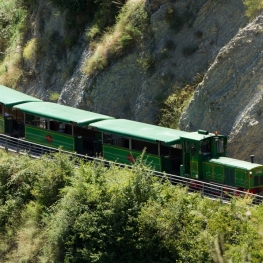
Tren del Ciment
La Pobla de Lillet (a 10.5 Km)Travel with the Tren del Ciment in a unique place where you…
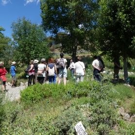
Jardí Botànic de Gombrèn
GombrènIn 1995, the initiative to create a botanical garden of medicinal plants…
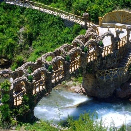
Jardins Artigas
La Pobla de Lillet (a 9.6 Km)The Artigas Gardens, designed at the beginning of the 20th century by…
Where to eat
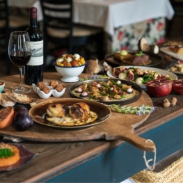
La Santa Restaurant
Ribes de Freser (a 6.9 Km)Our fires cook locally sourced food, harvested using traditional methods. We support…
Restaurant Dachs
Les LlossesRestaurant Dachs offers versatile spaces for celebrations in Les Llosses, with rustic…
Hostal la Muntanya
Castellar de n'Hug (a 7.1 Km)Family hostel located in Castellar de n'Hug. It offers various accommodation options,…
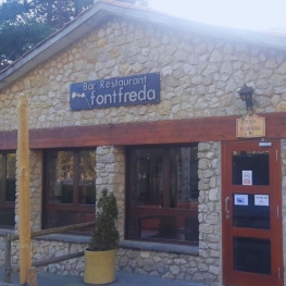
Restaurant Font Freda
Castellar del Riu (a 26.7 Km)A restaurant offering a wide selection of Catalan dishes, especially notable for…
Where to sleep
Casa de colònies Mas Cabàlies, Fundesplai
Ogassa (a 10.6 Km)Mas Cabàlies is located in the municipality of Ogassa, in the Ripollès…
Càmping Puigcercós
Borredà (a 7 Km)The campsite stands out for its quiet atmosphere and familiar character, has…
Can Masover Xic
Lluçà (a 10.1 Km)Can Masover Xic is a rural house located in the Rocadenbosch farmhouse…
Apartaments del Bosc
Ribes de Freser (a 8.9 Km)The apartments are two semi-detached cottages located on the family estate. They…

