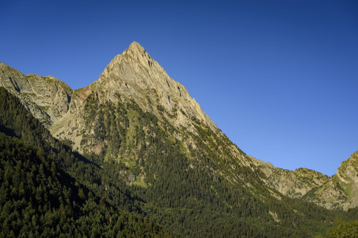
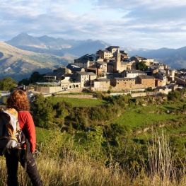
Peak of Peguera and Monestero from Espot
The Pic de Peguera presides over the eastern sector of the Aigüestortes and Estany de Sant Maurici National Park. Not surprisingly, its pyramidal and slender shape dominates the horizon of the San Mauricio Valley and is one of the most iconic peaks in the National Park.
The route that we propose is a true delight in every sense: demanding, long and with a lot of unevenness but with a number of landscapes, corners and idyllic postcards that are hardly comparable in the Catalan Pyrenees. A five-star route in an incomparable setting.
If we want to do the two peaks without a circular loop, we can do them from the Sant Maurici lake going up the Monestero valley. We can do the same from the JM Blanc Shelter, where we can get there with the 4x4 of the Taxis Espot.
Another circular alternative where we would save about 3-4 kilometers and 1 hour of walking would be to leave the car in Prat Pierró, the last car park that can be reached by private car. It has the drawback that the return from the JM Blanc Shelter would be done entirely by track (very monotonous). On the other hand, the Pic de Peguera can also be climbed through the corner of the Vall Fosca starting from the Estanys de Sallente and Gento and passing through the Colomina refuge.
If we start from Espot, we will only have to get to this town by car. If we chose to go up to the Prat Pierró car park, we should continue along the paved track that leaves at the end of the town to this place at the gates of the National Park.
We leave from the town of Espot, just as the day begins to dawn. The first part of the route is through the Espot valley until we reach the Sant Maurici lake and it will take around 2h / 2h15'. To access we will do it through the GR-11. From the end of the town of Espot, we follow the markings of this GR which, at first, take us through the paved track that goes up to Prat Pierró.
This section may be the most monotonous of the day, since for 1.5 km we continue on asphalt. We pass by a couple of campsites and just after we will see a sign indicating a path that goes to the right. We leave the paved track and take this path that goes down until we cross the river Escrito by the Suar bridge.
We now continue along the sunny slope of the valley, gently rising, between mowing meadows and some hazelnut trees. Little by little, the view opens up and we begin to see the points of the Encantats and the Pic del Portarró de Espot, at the bottom of the valley.
After a while, we find the detour of the path that comes from the Pla de la Font Refuge by the variant of the GR-11.19. We continue forward and enter the Peripheral Zone of the National Park. After a few more minutes, we entered the perimeter of the National Park through a fence.
The path now flattens along an old forest track until it finds a wide meadow dominated by the pyramid of Els Encantats. At this point, the path that comes from the Prat Pierró car park joins and we continue along here, heading West-Southwest along the bottom of the valley. From here to Sant Maurici we must calculate around 1h / 1h15'.
Now we enter the shady area, in an impressive section of fir trees with some monumental specimens. This road is much more traveled by all those who go up to San Mauricio on foot and we will find several interpretive panels of the forest and the fauna of this territory.
We go up a gentle climb through the fir forest in an area known as "Plaza de los Arboles". We continue parallel to the river Escrito, which we will always have on our left. After going up a bit more, we will see above us the track restricted to the 4x4 of the National Park (from time to time we will see one pass by).
We continue parallel to the Sant Maurici track on our right, and the river Escrito on our left. We arrive at an old forest track (which leaves the paved one) and which brings us closer, planning, to the hermitage of Sant Maurici, located at the foot of a rock. During this section, we will follow this forest track that, with some curves, gains a bit of unevenness until we reach the foot of the lake.
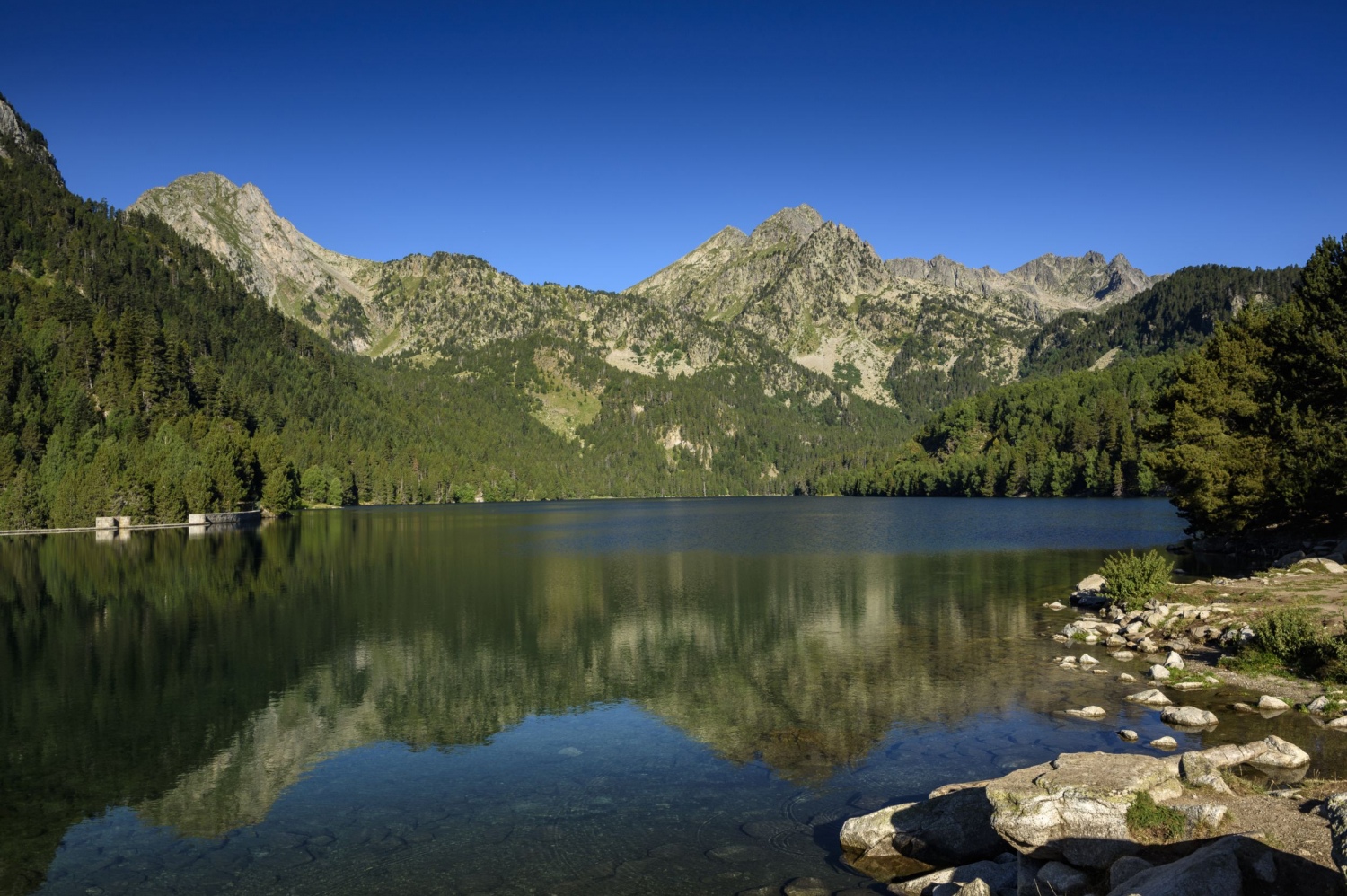
We can get to Estany de Sant Maurici to contemplate a landscape that we never get tired of seeing. The visit to the lake is optional, since 5 minutes before we will have seen a track that goes to the left, indicating the Ernest Mallafré refuge. From there, we leave the GR marks and continue along the track until we reach this refuge in about 10 minutes.
From this point, we continue along the track that turns to the right, heading west, until we find a detour between the path that goes up to Portarró de Espot and the one that goes towards the Monestero valley. We follow this last path, which coincides with the Carros de Foc route. Throughout the ascent to the Monestero pass, we will find yellow stakes that will help us to follow the path.
The path begins to go up the valley and continues parallel to the Monestero river, on our left. The path alternates some uphill sections with other flat sections. We pass through the Pletiu dels Cantals through some wooden walkways that will help us not to get our feet wet. We cross the river twice and continue on, this time along a more rocky stretch.
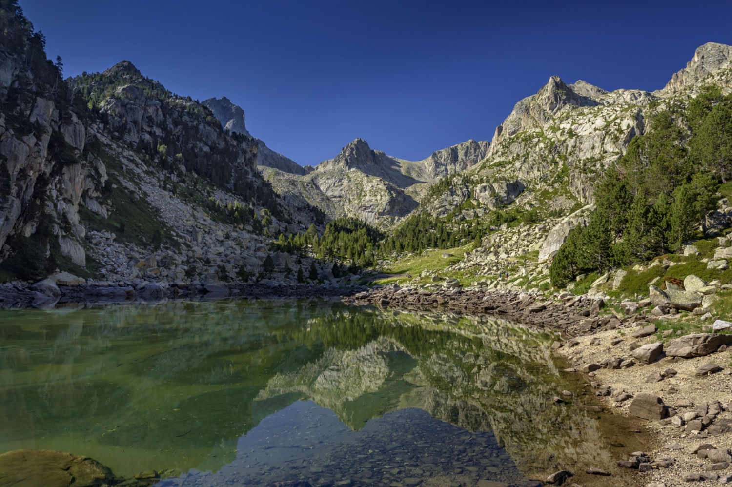
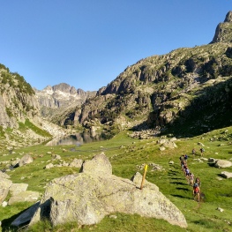
We now pass through an extensive plain, Prat de Monestero, from where the pointed peak of Pic de Peguera can be seen perfectly in front of us. Shortly after, after going up another rocky section, we arrive at Estany de Monestero, a good place to recover strength and to enjoy the peace of this place.
We now continue along a very flat stretch, known as the Pletiu de la Coveta. At this point, we find a sign indicating Coll de Peguera and Coll de Monestero. We follow them, cross the stream, and continue along the valley until we reach the last large plain before the ascent: the Girada Gran.
From this point, the path begins to climb along the left bank of the valley (in a southeasterly direction), in an area where we appreciate the shade at that time. The path goes over the steep slope between rocks and sections with pine trees. During all this ascent, we will see the yellow stakes. Further up, on a small plateau, a signpost will mark the two routes for ascending to Peguera: through the Peguera pass (to the right) or through the Monestero pass (to the left). We opted for the latter, although you could go up the Peguera pass to complete a more circular itinerary.
To reach the Monestero pass, we pass through an area with large stone blocks until we reach the foot of a very straight and hard pie plate, which is the last spur to overcome before the pass. We take this section calmly since the terrain is dirt and it can be easy to slip, so we take two steps forward and one step back. A few loops to wind up the hard ramp will help make it less tiring.
Finally, we arrive at the Monestero pass. For many, this is the highest level they will do in today's stage of the Carros de Foc. But we still have 250 meters more to climb to the Pic de Peguera.
To face this ascent, we follow the path that goes to our right (southwest direction) along the sunny side of the Pic de Peguera. Initially, the path is well marked and with signs to help us follow it. We always follow the southern slope and not the ridge. Further up, the path blurs with the grass, but in order not to lose our way, we must pay attention to a stone and scree channel that will be the point where we will climb up to the ridge. We face this ascent channel, paying attention to the signs and the path to avoid deviating and complicating the ascent.
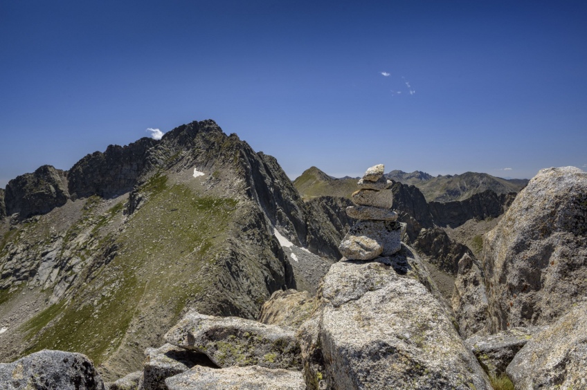
Having overcome this channel, we now skirt the thread of the ridge to the south, until we reach the foot of a large smooth stone slab. As we find it difficult to overcome this passage due to a crack that crosses it, we opted to skirt it by the north corner, being careful because of the patio and the unevenness. Surely we could consider this step of II/II+, since it has quite a patio and unevenness. After this block, we only need one last climb to the top of Peguera, which is so rugged that there is practically no plain on the top (a large rock is the highest point, while around it there are several large granite blocks ). Another alternative to reach the top would be through the southern ridge, going to look for the route that goes up from the Peguera pass, as we have seen in some reviews.
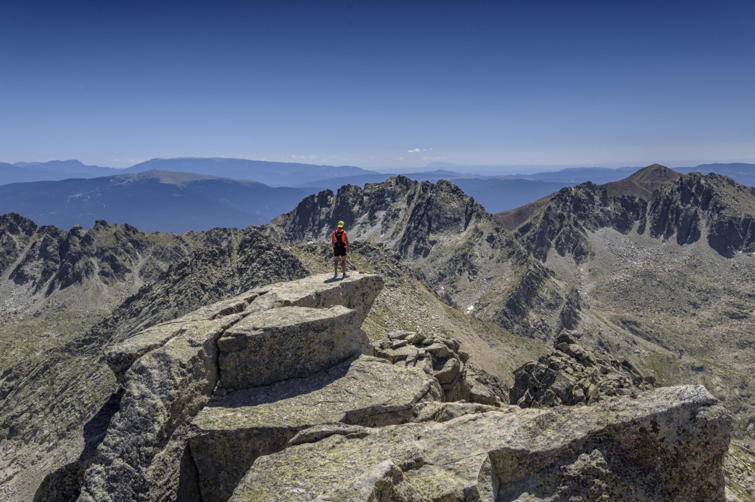
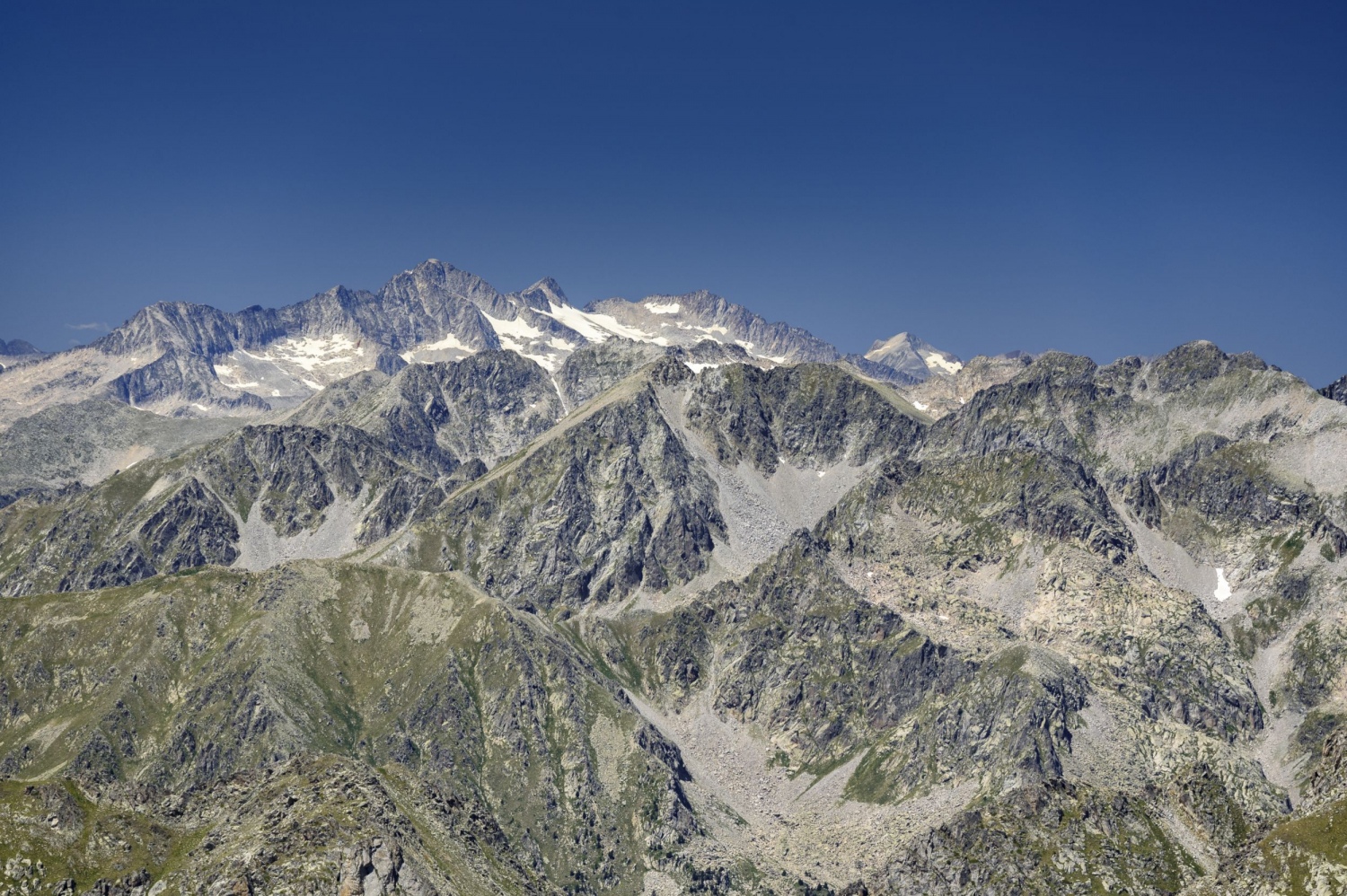
The view from up here is worth it, especially if we find an exceptionally clean day like we did: we can see from Montserrat to the Sierra de Guara to the south, with almost all the peaks of Aigüestortes around us, the Aneto, the Posets, the Turbon and the Cotiella in Aragon. Even with the camera we intuit the Pic de Midi de Bigorre observatory. On the north side: the Mauberme, the Pica d'Estats, the Encantats behind and, to the east, the Comapedrosa, various peaks of Andorra and Cerdanya (Monturull, Tossa Plana de Lles, Tosa d'Alp) and even the point of Puigmal, Carlit, Cadí and the pre-Pyrenean mountains of Port del Comte and Verd. An exceptional panorama.
We go down to the Coll de Monestero, being extremely careful on the granite blocks and slabs of the final ridge, as well as the descent through the channel. From the Coll de Monestero, we now face the homonymous peak. Throughout the climb, we look at the most marked and indicated path with milestones. Basically, the path flanks the southern corner of the mountain and goes up through the most accessible area. We only have to help each other with our hands at some point. The path changes slope, towards the east and we face the last ascent to the top on this side, always a little below the crest. We reached the top of Monestero in half an hour.
We go down again to the Coll de Monestero and from now on we return to the Carros de Foc path. The trail gradually descends and the lakes of the Peguera valley begin to be seen. First we pass over the Gran de Peguera lake and climb down a small stretch of rock. We went down a bit and passed another very photogenic pond. Once past this pond, we descend a few meters until we reach the intersection with the Carros de Foc path that comes from the Colomina refuge (GR-11.20). However, before this descent, we would find another alternative path that would also take us to the Josep Maria Blanc Refuge. But all roads will lead us to the same destination.
We now continue with the stakes of the GR and skirt the extensive Estany de la Llastra to the south. We go up a few meters until we pass over the Coveta lake. Next, we continue in an easterly direction until we reach just above the enormous Estany Negre de Peguera, one of the largest in the Pyrenees and the deepest in the National Park, with a depth of 70 meters (hence the name Negre).
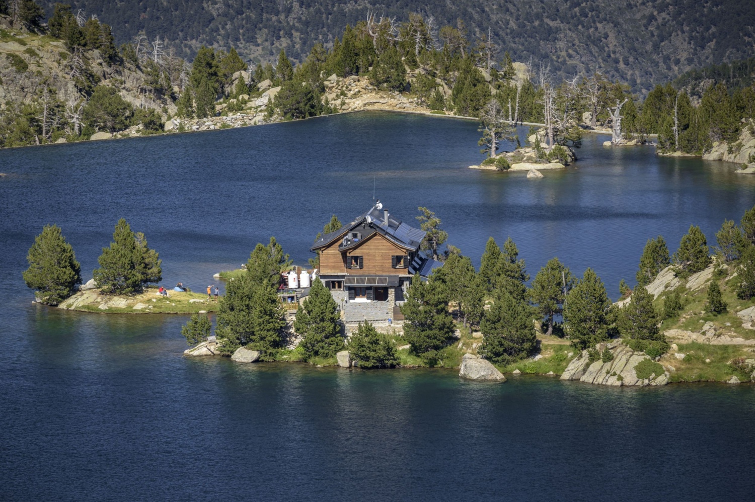
We will go down between rocks and pine trees to the Estany Negre dam. It must be said that this descent is one of the most beautiful moments of the itinerary, with the view of the Estany Tort and the Josep Maria Blanc Refuge in the middle of the pond. An idyllic postcard that we will not get tired of contemplating.
From the Estany Negre dam, we follow the GR marks that make a couple of “ups and downs” until we reach a forest track that will take us to the refuge. There we make a well-deserved stop to regain strength and enjoy the surroundings.
The descent from the Josep Maria Blanc Refuge to Espot will take us almost 3 hours of long descent. We have 1000 meters of descent left and, for this reason, this itinerary is also marked as Peguera Valley Vertical Kilometer. The first 45 minutes we will do through the forest track that descends steeply with cobbled sections. Not all cars could go up here!
Following the forest track we arrive at Estany de Lladres. From this point, we will leave the track that goes to our left and we will follow the descent path to Espot. We still have almost 700 meters down. The path alternates sections with a steep slope with small, somewhat smoother plains. On one of these landings, we will see the town of Espot, still far below.
We will continue the descent and cross to the other side of the Peguera River through a bridge. Further on, we cross it again on the other side and at some points where the slope increases, we will see the waterfalls that the river makes on our right. During all the time, we will follow the GR-11.20 until we reach Espot.
Finally, we come to a forest track and a sign indicating the path to Font del Sofre. Now we only need to finish the descent along the track until we reach the Espot road at the ski resort and, finally, to the town through Calle de Peguera and other alleys that will lead us again, to the point where we have gone out
Authorship text and photographs: Sergi Boixader
You may also be interested in: Stroll through the natural parks

What to do
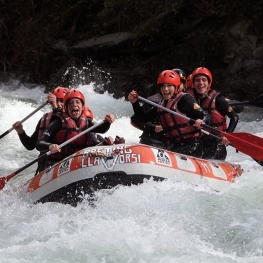
Rafting Llavorsí
Llavorsí (a 13.6 Km)Rafting, canyoning, horse riding, hydrospeed, river canoeing, bob-coaching, hiking, snowshoeing, skiing and…
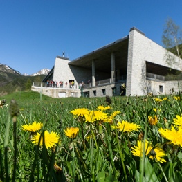
MónNatura Pirineus
Alt Àneu (a 4.5 Km)Stays and activities aimed at all types of public with a very…
Carros de Foc
Vielha e Mijaran (a 27.3 Km)Carros de Foc is an organization, which includes the new refues of…
Ramat de Camins
Soriguera (a 23.6 Km)The history of the Ramat de Camins trekking route began in 1956,…
Where to eat
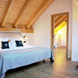
Roch Hotel - Restaurant
Sort (a 14.2 Km)A small, family-run rural hotel, very welcoming, where its owners (Xavi and…
Where to sleep
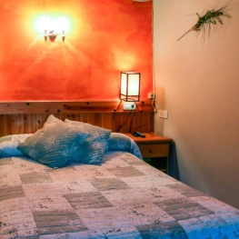
Hotel Riberies
Llavorsí (a 13.9 Km)A cozy and modern mountain hotel located in the village of Llavorsí,…
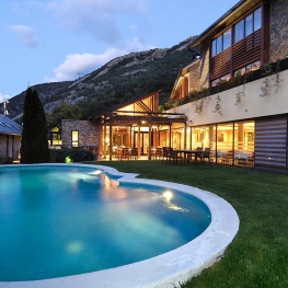
Hotel Lo Paller
Alt Àneu (a 6.4 Km)Mountain Hotel, located in the town of Valencia d'Àneu, halfway between the…
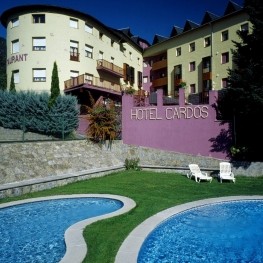
Hotel Cardós
Vall de Cardós (a 11.5 Km)The Hotel Cardós has all the comforts so that you can enjoy…
Roch Hotel - Restaurant
Sort (a 14.2 Km)A small, family-run rural hotel, very welcoming, where its owners (Xavi and…