The Llobateres from the Batllòria
This route is signposted at the beginning until it deviates to make the route next to the Tordera river and is again towards the end, in the last section before reaching the wetland.
The distance is 4.5 km and is of low difficulty. It is a wide, flat path, very popular on weekends for walkers, cyclists and runners. From this itinerary, we propose to explain the history of the area and the path, and also make you discover the nature of the area.
The start of this walk is found in the municipality of La Batllòria, 6.5 km from Sant Celoni. To get there, we will take the c-35 road towards Hostalric. After passing Gualba, we will take the exit on the right that indicates the entrance to the municipality of La Batllòria and we will take the street of Tordera on the right until we reach the football field.
 After leaving the car, right on the corner of the soccer field, we will find the starting sign of this linear itinerary that can be done both on foot and by bicycle and that lasts 1 hour and 10 minutes if we do it on foot.
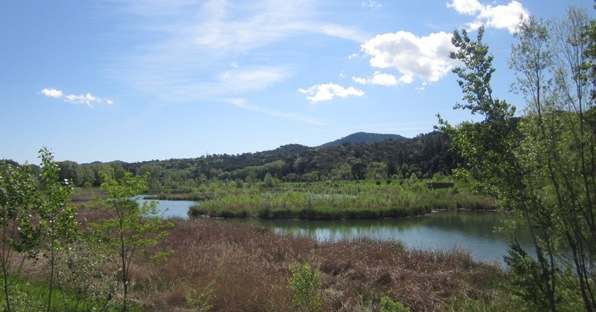
We will take the path that runs through La Tordera on its right bank. Therefore, we will cross the river by the new bridge. The riverbed at this point is wide and the waters calm, and if you dare to approach an arm of slow water you can find mallards or leprous tortoises between the edges, or even egrets or gray herons.
A bit further on we will reach the bridge over the highway, which we leave on the right. A section begins where the river separates from the road, and leaves to our left a vast area where crops predominate, and in which the ATLL company has carried out an intense replanting of trees and riverside plants.
 Next, we reach the pass under the highway that leads to Fuirosos, and the path from this point passes by a nursery that allows us to continue the walk sheltered by a long avenue of large olive trees. Then we come to another bridge over the highway, which we also leave on the right, and the road separates from the highway to cross an extensive banana plantation, at the end of which we enter the Llobateres. To get to the observation point, we go around the perimeter to the right.
The Llobateres wetland is the result of the exploitation and restoration of an old gravel pit. This natural space has generated an exceptional riverside landscape and an interesting observation point for flora and fauna of aquatic environments in the Tordera alluvial plain.
Source: Sant Celoni Town Hall

What to do
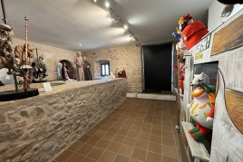
Museu Etnològic del Montseny
Arbúcies (a 14.2 Km)Discover the Ethnological Museum of Montseny, La Gabella, an exhibition, conservation, dissemination…
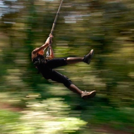
Bosc Vertical
(a 11.7 Km)Bosc Vertical offers a treetop adventure park with 160 activities, including zip…


Fundació Palau
Caldes d'Estrac (a 13.5 Km)Discover the life and work of Josep Palau i Fabra, one of…
Where to eat

La Calma, el Bellver
Tagamanent (a 19.7 Km)At the Masía Restaurante El Bellver, from 1:00 p.m. to 3:30 p.m.,…

Pura Brasa
Pineda de Mar (a 18.1 Km)A unique gastronomic experience: Pura Brasa is a friendly and fun concept…
Where to sleep
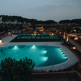
Càmping El Toro Azul
Arenys de Mar (a 13.4 Km)Explore the privileged location of Camping el Toro Azul and worry only…
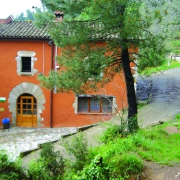
Casa de colònies Can Massaguer, Fundesplai
Sant Feliu de Buixalleu (a 10.3 Km)Discover Can Massaguer, an old restored farmhouse located in the middle of…
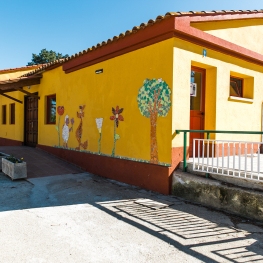
Casa de Colònies Mogent
Llinars del Vallès (a 8.3 Km)Welcome to the Mogent Colony House! A magical place where children and…
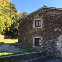

Casa de colònies La Traüna, Fundesplai
Fogars de Montclús (a 11.9 Km)La Traüna is located in the municipality of Fogars de Montclús, in…