Itinerary from the Batllòria to the Sierra de Can Puig
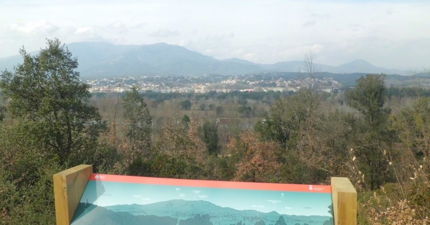
Walk that allows to know the landscape of the middle basin of the Tordera, a river that collects and mixes the water of the Montseny and Montnegre massifs and that has become a strategic place for human settlements and for communications.
We started!
Once you reach the Fuirosos valley, the landscape changes radically: there is stillness and exuberant riverside vegetation is observed up to Can Puig. Further on, Mediterranean pine forests and holm oaks accompany the way back to Batllòria.
We find the sign to start the itinerary at the end of Tordera de la Batllòria street, on the corner with the football field. Take the path on the side of the football field to the Tordera river bridge , which you cross. After the bridge, turn left and take the main track, following the same direction to Las Llobateres. We will walk with the highway on our right and the river on our left.
Just before reaching the Can Terrades bridge , which crosses the highway above, take the track on the left, which continues parallel to the highway. The road passes by the edge of wastelands and wide fields of cultivation that allow a very extensive visual panorama of Montseny.
 When you have traveled about 2.5 kilometers, you will come to a junction on the left that will take you to the ford of Tordera and that you have to leave behind. Immediately you come to the pass of the Fuirosos stream. Just before crossing it, turn right, cross the motorway by an underpass and immediately cross the stream. From here, the roads parallel to the highway are abandoned and the entrance to the Fuirosos valley begins on its main path.
The Fuirosos valley track , wide and very flat, cannot be missed. You have to leave behind a path that rises to the left when you go one kilometer through the valley and be careful to leave it about 150 meters further on to take the path of Can Puig de Fuirosos, on the right. You cross the stream over a small bridge and, a few meters further on, you will find the path that leads to the house, which you leave on the left. Take the one that climbs the side of the mountain making several curves until you reach the crest, where there is an esplanade: the plain of Can Puig.
At the crossroads on the Can Puig plain, take the one on the right. From then on, you have to follow the well-trodden path, which goes down through a mixed Mediterranean forest. In one of the curves of the road we will find a great panoramic view of the middle basin of the Tordera and the Montseny massif.
The path reaches the main track, which you have to take to the left back to the Batllòria. After leaving two paths that go up towards the mountain on the left, cross the motorway over the Can Terrades bridge and return along the path parallel to the motorway and La Tordera to La Batllòria.
Source: Sant Celoni Town Hall
What to do
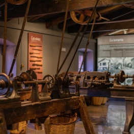
Museu Etnològic del Montseny
Arbúcies (a 14.2 Km)Discover the Ethnological Museum of Montseny, La Gabella, an exhibition, conservation, dissemination…
Fundació Palau
Caldes d'Estrac (a 13.5 Km)Discover the life and work of Josep Palau i Fabra, one of…
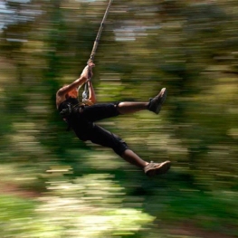
Bosc Vertical
(a 11.7 Km)Bosc Vertical offers a treetop adventure park with 160 activities, including zip…
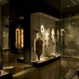
Museu Arxiu Tomàs Balvey
Cardedeu (a 12.7 Km)The MATBC houses the collection of its creator, Tomàs Balvey y Bas…
Where to eat
La Calma, el Bellver
Tagamanent (a 19.7 Km)At the Masía Restaurante El Bellver, from 1:00 p.m. to 3:30 p.m.,…
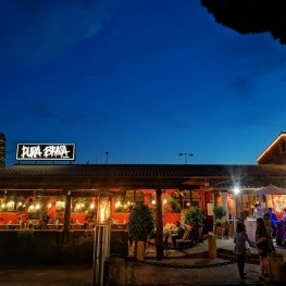
Pura Brasa
Pineda de Mar (a 18.1 Km)A unique gastronomic experience: Pura Brasa is a friendly and fun concept…
Where to sleep
Casa de colònies La Traüna, Fundesplai
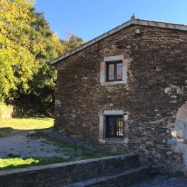
Fogars de Montclús (a 11.9 Km)La Traüna is located in the municipality of Fogars de Montclús, in…
Casa de Colònies Mogent
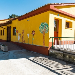
Llinars del Vallès (a 8.3 Km)Welcome to the Mogent Colony House! A magical place where children and…
Casa de colònies Can Massaguer, Fundesplai
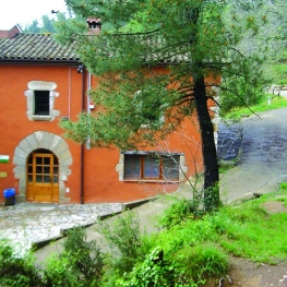
Sant Feliu de Buixalleu (a 10.3 Km)Discover Can Massaguer, an old restored farmhouse located in the middle of…
Càmping El Toro Azul
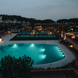
Arenys de Mar (a 13.4 Km)Explore the privileged location of Camping el Toro Azul and worry only…


