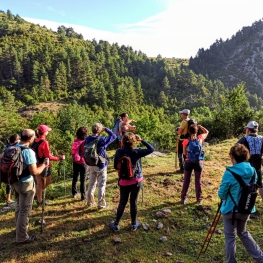
Penyes Altes del Moixeró from Gréixer
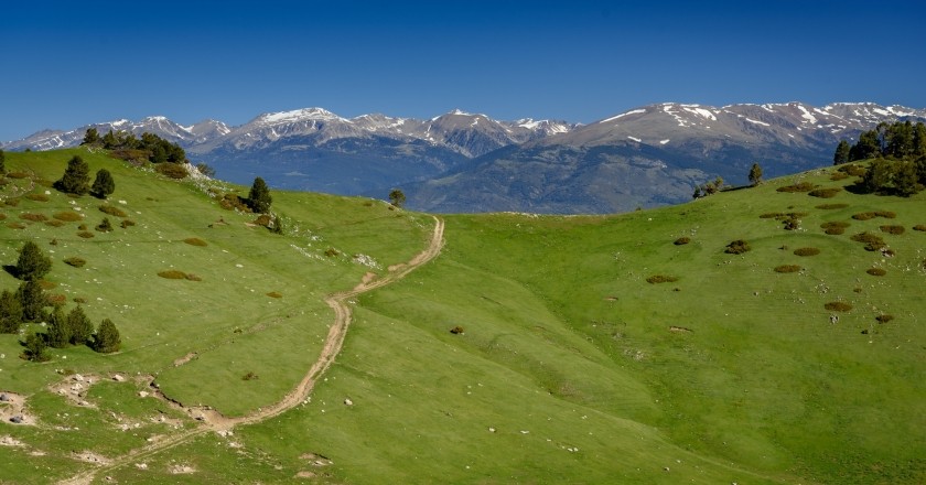
Often overshadowed by its taller neighbors (El Cadí and La Tosa), El Moixeró is a mountain range that we have passed through the Cadí Tunnel many times but which is worth discovering from above. A route with a demanding slope and fantastic views of Alt Berguedà and Cerdanya.
Difficulty: medium. No technical difficulty but a significant unevenness.
Difference in altitude: 1,377 accumulated meters of ascent.
Time: between 5 and 6h
Kilometers: 14 km
Variants: The Penyes Altes can also be done from the north side, through Cerdanya. Apart from that, you may find that it is usual that on the descent, from the point of the "Rocas Negras - bifurcation" waypoint, you take the path on the right and go down the Coll de Escribar. Similarly, the Moixeró can be followed with the Cavalls del Vent route or a circular can be made towards La Tosa or up to Coll de Jou with a considerably longer route.
We leave from the Gréixer bridge, where we will not find any bridge, but a crossroads on the Coll de Pal road with the track that goes up to Gréixer. This track is closed to traffic and therefore we will have to start from the foot of the road.
We start by going up this track until we reach the vicinity of Gréixer in a matter of about 10-15 minutes. As you will see, it is a very small nucleus with four houses and a church dedicated to Sant Andreu. We follow the track there until we find a signpost (Deviation GR waypoint) in which we take the path to the right and go over the Gréixer nucleus.
Soon, we take the path that goes back to the Serpent channel (indicated). It is marked with traces of yellow paint and strong milestones, so we have no risk of being wrong. We start to climb decisively and we will go up constantly throughout the route.
 We will pass through a section of red pine forest. After about 10 minutes, we reach a rocky area where the path turns right and winds its way up this stretch of rock. If you follow the milestones, there is no loss, but you can go where you do best. After this point we will find a young oak grove, where we will be able to check the difference in altitude.
The path climbs steadily, and we gain height in a short time. At this point the road sank all going to look for the channel of the Serpent. At the bottom of this hole the first beech trees of the beech forest of the Serpent channel begin to appear . When we arrived at the canal, we began to meander (never better said), along a path that goes over the steep slope with small loops. Up to here we will already take about 3 kilometers and about 500 meters of unevenness.
At the end of the Serpent channel, the path turns east and passes through a small lunch box. After a gentle glide, the path climbs up the slope again until it is located under the large rocks of the Penyes Altes del Moixeró.
We go back through the pie from the top. At this point it will be inevitable to lift our heads up to contemplate this wall of rock that we have above us. And if we look to the right, on the cliffs we will see a curious rock bridge. Forward, we clearly see the grassy neck where the path is headed: the Raset collar. To win it, the path winds between meadows until we reach the Raset pass (2056a m) from where we will see Cerdanya for the first time on the route.
 From here, we take the GR 150-1 to the right, following the crest of the Moixeró towards Peñas Altas. This section is also where the Cavalls del Vent pass. The path starts planning but later it goes up again and goes up an easy climb section. We continue up and face the final part of the climb with a slightly straighter climb but that we can overcome without great difficulty. Finally, we reach the landing at the top of the Peñas Altas (2,276 m), where we will enjoy a fantastic panoramic view on all 4 sides.
We go down the same path until we return to the Raset pass. From here, we follow the cows path evident through the Plana de Moixeró meadows . The top of the Moixeró (2,090 m) protrudes to the left of the meadow. We only need to deviate from the path to easily crown this summit that gives its name to the mountains.
 We descend from Moixeró and we can do it directly along the ridge, until we find Coll de Moixeró. At this point, we will cross a fence and take the path that goes down towards the bergadán slope towards the Southeast (we will clearly see a path that goes down to the left). From here we will follow red marks until the fork of the Black Rocks.
We begin a steep descent through an area with a steep drop and a wide range of views towards the bottom of the valley. The road winds down at some points and is a little worn, but we can do it well. After a while, we reached the neck of La Cabrera, after a short climb. We go through the neck, follow the red marks and now we descend steeply through a meandering pine and oak area. The path can be blurred by the oak leaves, but if we follow the most obvious point, it has no loss.
After passing under a lying pine tree in the form of an arch, we reached a small landing where we found the deviation from our path. If we continue south, we would go to the neck of Writing, but we turn left, leave the red marks and follow a path that descends steeply, accompanied by several milestones.
After a while, the road plans to find the Fuente de la Cabrera, a point where we can catch water. We continue on to the neck of the Fir and continue planning with a gentle descent, while the impressive walls of Moixeró rise above us. The path will find an old forest track that will make us lose altitude with wide loops until we reach the bottom of the valley.
Once down, we will only have to follow the track to Gréixer, at the fork in the beginning and finish undoing the route to the car, in an original circular and with a considerable drop in the Sierra del Moixeró.
Authors photographs and text: Sergi Boixader
What to do


Penyes Altes Outdoor Services
Bellver de Cerdanya (a 2.1 Km)Discover new places and new adventures with the help of our team…
Parc dels Búnquers de Martinet i Montellà
Montellà i Martinet (a 11.6 Km)The memory space and Interpretation Center of the Park of the Bunkers…
Centre d'interpretació Dinosaures Fumanya
Cercs (a 9.4 Km)Discover the Fumanya Dinosaurs Interpretation Center and travel to the past in…
Where to eat
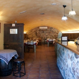
Restaurant Apartaments Els Roures
Castellar del Riu (a 14.8 Km)Rest, charm and good cuisine, a unique space located in Berguedà, at…
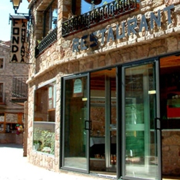
El Recó de l'Avi
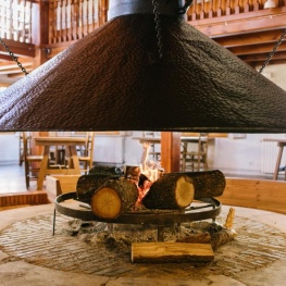
Guardiola de BerguedàTypical homemade cuisine, with oak-grilled meats, a wide variety of tapas and…
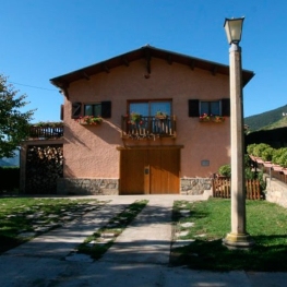
Hostal la Muntanya
Castellar de n'Hug (a 12.5 Km)Family hostel located in Castellar de n'Hug. It offers various accommodation options,…
Where to sleep
Hostal la Muntanya
Castellar de n'Hug (a 12.5 Km)Family hostel located in Castellar de n'Hug. It offers various accommodation options,…
Hotel & Spa La Collada
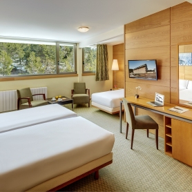
Toses (a 9.6 Km)Hotel & Spa La Collada, a 4-star hotel with 90 rooms located…
Vilamaroto
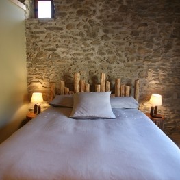
Meranges (a 11.4 Km)House from 1850 rehabilitated. We have preserved many architectural and vital elements…
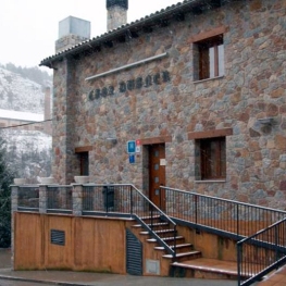
Hotel Casa Duaner
Guardiola de BerguedàThe Casa Duaner Hotel in Guardiola de Berguedà offers modern facilities, a…