The Roquer de Torredembarra
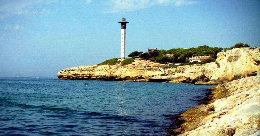
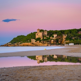
The wind, rain and the onslaught of the sea shape the majestic and imposing rocks that make up this special space of Torredembarra.
Making a flat and quiet walk, we can observe the typical Mediterranean vegetation and discover the highest lighthouse in Catalonia.
We will begin our tour through its most emblematic corner: the Foradada Rock.
To find the Foradada Rock we will enter the port and go to the free parking area. We will walk along the rocks and a few meters away, we will arrive at a place where we will see two large rocks that broke off hundreds of years ago, if not millennia, and fell to the bottom. They are the Roads arriada.
We will continue walking until we reach a cave with a small lake inside. Before the port was built, this cave communicated with the sea and at the bottom of it all, formed a small beach with a small vertical opening. It is the Foradada Rock. We will return again to the promenade and when leaving the Marina, on the right, we will look at a small rock arch.
This arch was the entrance of seawater that was then led to the salt flats located where the train station is now. This place is known as the Rec de Sant Joan.
Now we will take the signposted road that runs the Roquer.
 We start with a small climb next to some hilly pines (Pinus halepensis). At the end of this small climb we will find an olive tree (Olea europaea) on the left and another white pine on the right. After this pine, we will find a few bufalagas (Thymelaea hirsuta), a very curious plant with its always decayed appearance. Just when the chalets are finished, on our right, we find a fence with some letters M. It is the fence of the beautiful gardens of the Mercadé estate. Within this estate are the remains of an old defense fortress, so this sector is called Sota el Fortí.
We continue along the flat road and before doing some S we will see a rather curious arched door of the Mercadé estate. We enter an area of white pines and we will see the first pitas (Agave americana). Halfway up the S we will see very long stairs of modernist style that create these gardens. These stairs ended at a small jetty. At the end of this S, the road continues to Cap Gros (mentioned by King Jaime I), which is called that because, seen from the side, it recalls the profile of a person. It is dangerous to approach because of the risk of falling.
Arriving at Cap Gros, on the left opens a path that goes up from the port. We will continue by the stone stairs, by the place called the Balconet. We will pass two large broom scrub (Spartium junceum) that we will leave on the left hand side and next to the stairs we can see different species of ruderal vegetation, such as the olive grove (Inula viscosa). When you reach the top of the stairs, on the right you will find a white pine and a prickly pear (Opuntia ficus indica). From here we will see the end of the port and the sea that returns to beat the rocks of the Roquer. On the right hand side, the Mercadé estate ends and we meet again with the chalets area.
The road plan will take us to an alley on the right that reaches the Plaza Sol Rayo, but we will continue straight. We arrive at an esplanade and just at the height where the port ends, we will find that the cliff is transformed into a pointed wedge that digs into the air. It is the tip of the spear.
We continue walking towards the Lighthouse up some stone steps, remains of an old quarry.
We will reach the bare rock that, when we descend, will take us to the point closest to the water: the Codolar. At the end of the descent, we will take the path that goes up to the right and that takes us to the path that runs along the cliffs to the Torredembarra Lighthouse. Work by Josep Llinàs, is the tallest in Catalonia and the last built in Spain during the twentieth century. The rock on which it sits is the Punta de la Galera.
From the lighthouse we will walk a few hundred meters to a landing where we will find a flat and round rock of about four meters in diameter that remains standing supported by a rock that supports it. This rock is known as the Clock. From here, the terrain remains flat on the bare rock and descending towards the beach of Canyadell. When we have gone down and we are at no more than 5 or 6 meters from sea level, we are on top of a large submerged cave. When there is a thick sea, the strongest waves compress the air inside the cave.
 This air ends up exploding with a thunder noise projecting out a breath of water and foam. We are on top of the Bramante. Behind the Canyadell Creek, shared by the municipalities of Altafulla and Torredembarra, we have the Bosya del Canyadell, a white pine grove planted on agricultural terraces that remind us that, at the beginning of the 20th century, the Mounds were dryland cultivation fields.
In this Umbrian pine forest we can discover the species of the Mediterranean forest such as the lentisk (Pistacia lentiscus), the blonde (Blonde pilgrim) or the asparagus (Asparagus officinalis).
Crossing the pine forest we will reach the wooden bridge that takes us to Avenida del Canyadell and at the end of our itinerary. We will return to our steps to see the new panoramic perspectives offered by the other direction of the road.
Source: Torredembarra Tourism
What to do
Pessebre Vivent Pobla de Montornès
La Pobla de Montornès (a 3.7 Km)A living nativity scene is a representation of the birth of Jesus…
Hotel Balneari Platja de Comarruga
El Vendrell (a 11.2 Km)Spectacular resort located near the sea to enjoy the marine environment and…
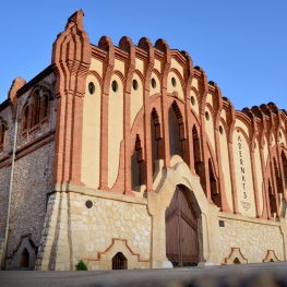
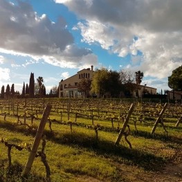
Adernats - Vinicola de Nulles
Nulles (a 14.5 Km)Discover genuine wine tourism activities between Alt Camp vineyards and the Nulles…
Where to eat
L'Orangerie de Clos Barenys
Vila-seca (a 25.5 Km)Under our fires, we prepare haute Mediterranean cuisine by selecting the finest…
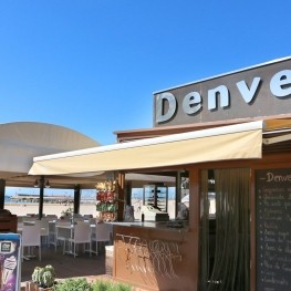
Restaurant Denver Cambrils
Cambrils (a 29.2 Km)From the legendary Xiri to the current restaurant, Denver offers a creative…
Arena Tapas Restaurant
Salou (a 23.6 Km)Enjoy an innovative cuisine, with high-quality local products of proximity, with an…
Where to sleep
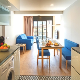
Apartaments TGNA Rambla 68
Tarragona (a 12.8 Km)Located on the iconic Rambla Nova of Tarragona, TGNA Rambla 68 is…
Càmping Trillas Spa Tamarit
Tarragona (a 3.7 Km)Its peaceful location, between the sea and the mountains, surrounded by various…
Càmping Arc de Barà
Roda de Berà (a 6.3 Km)Arc de Barà is a very family-friendly campsite 60 meters from the…
Apartaments TGNA Cervantes 8
Tarragona (a 13 Km)The apartments at TGNA Cervantes 8 are designed to accommodate all types…

