


Municipalities
Vilada is a small municipality in the Berguedà region with just over 400 inhabitants in an incomparable natural environment.
We propose a series of itineraries so you can get to know more about all the architectural and natural heritage of the area! You will visit the remains of the castle, chapels and Romanesque churches, and enjoy a rural architecture with an important bulk of picturesque houses.
Which one do you choose to start?
 Itinerary Sierra de Picancel
In the Sierra de Picencel, we can make the tour of the ridge of this mountain of a duration of 3 hours and 56 minutes by the Pont del Doro, Can Mitger, (place of camping), San Miguel canals, crest of the sierra. We can also admire the Romanesque church of San Miguel. To the west the Serrat del Águila takes off, and the Migdia rises, the Colletons channel, and the Serrat de Midi summit, at an altitude of 1,076 m.
Itinerary Serrat del Migdia and Salga Aguda
At the Serrat de Migdia and Salga Aguda we will arrive with an approximate route of 3 hours and 48 minutes by the Doro Bridge, Can Mitge (camping place) cresta general, east direction. We will pass through Cingle del Fear, Serrat de Migdia, Pico de Perris, 1,043 m high.
We will also pass through Serrat Girasol, at 1,081 meters high, between Perris peak and Cuello del Tei, at 990 m high and we will find the peak of Salga Aguda at 1,171 meters. The highest falls in Can Salga, at 1,060 m in height. In addition, from the Collado de la Cruz de Salga you can go to the Sanctuary of the Quar, 1,069 m high, 55 minutes by the neck of Gavatx.
Itinerary Monastery of San Pedro de la Portella
 In the Portella we will arrive through an itinerary of 2 hours and 15 minutes, by the Climent bridge, the Boixader Mill, by the road that goes to Borredà, concretely in the kilometer 35. At this point the road to the Coll del Tei, where the curve of the road originates, we can go down in the stream, by the Climent Bridge, above we will see the Coll del Tei at 900 m high.
We will have to cross the neck and go down and shortly after you will see the Monastery of San Pedro de la Portella, at 800 m altitude and about 27 minutes. Located on a landing (suitable for camping), there is the stream and the fountain, and above the valley frontaniana, we will see the castle of the lords.
The church and the cloister after the church are Romanesque. In the year 1003 the monastery was already founded and inhabited by monks. The remaining walls show the importance of this monastery frequented by the people of Vilada.
Itinerary Santa Magdalena de Guardiolans
In the Eras de Guardiolans, 49 minutes from the road in Borredà, at kilometer 34, the forest road starts, and on the left, there is more. You're from Guardiolans, it's a big house in a secluded, intimate and austere place.
At a short distance are Santa Magdalena de Guardiolans, suffragan of Vilada. It is a chapel of the s. XVII, already mentioned at 839 (Gardilane), this is formed by a nave covered with a barrel vault and without an apse, with an outstanding bell tower of two vain belfries and a porch next to noon that covers the entrance door.
It is an austere Romanesque example, in good condition and located in a landscape of great beauty surrounded by mountains. Next is the house Solé, with large galleries. And a little further away, there is the Santpere house, of Catalan noblemen. In this old house had been fastened in the ceiling chain shackles to hang the vassals who were punished by order of the feudal. The shackles were semicircular iron arches, with two holes through which passes a bolt, which served to secure a chain to the neck of the leg.
Itinerary San Miguel de Canales
 On the other side of the Margançol, the southern sector of the area, and dominating the rough San Miguel canals, stands at an altitude of 1,000 meters, on the border with Cercs and Quar, the small church of San Miguel. of Channels.
It is a Romanesque church, with a single nave and a barrel vault, finished with a semicircular apse and a bell tower with a single window; the entrance door to the front wall is of modern era.
It was accessed from Vilada through a stone bridge near the Molino del Caballero, a bridge that has been rendered useless by the Pantano de la Baells. The City Council is fighting to recover this step, as it had been agreed in the event that the waters covered it. It goes by a rough road that does not allow the passage of vehicles and that climbs by cliffs through the Canals.
Nearby experiences
Nearby routes
Looking for mushrooms in Berguedà and Solsonès
Avià, Bagà, Berga, Capolat, Casserres, Castellar de n'Hug, Cercs, Gironella, Guardiola de Berguedà, L'Espunyola, La Pobla de Lillet, Olvan, Prats de Lluçanès, Puig-reig, Saldes, Sant Llorenç de Morunys, Solsona, Vilada
Mushroom hunting has become a national sport in its own way and we have to enjoy our forests. Go to look for mushrooms and is a general obsession, and this is great news because it means that citizens of this country appreciates and loves the…
Circular route through Catllaràs from Sant Romà de la Clusa
Vilada
El Catllaràs is one of the largest and most wooded mid-mountain extensions in Berguedà. Without exceeding 2000 meters like other neighboring mountains, the trees become masters of the mountain up to the most rounded peaks. Only…
The Romanesque in Alt Berguedà
Berga, Borredà, Guardiola de Berguedà, La Pobla de Lillet, Sant Jaume de Frontanyà, Vilada
Alt Berguedà area is known for its natural environment: mountains, forests, mushrooms, etc., but this time we will look at us with new eyes. We will do a historical and artistic look is that this space also includes an important and…
Road to the Roset Castle in Vilada
Vilada
This tour brings us closer to the sunny sector of the municipality of Vilada, under the Sierra de Picamill (1,415 m), where we will find the ruins of the Castle of Roset and enjoy wonderful views of the Mergançol valley and shady mountains…
Related routes
Sanctuary of the Virgin of Help of Balenyà
Balenyà
Today we propose a visit to the Sanctuary of the Virgen de la Ayuda de Balenyà, in Osona. The Balenyà Heritage Map says that the first documentary news of the church dates back to the year 955, when the house of Sant Fruitós…
La Vall de Bianya, nature and heritage in the Garrotxa
La Vall de Bianya
La Vall de Bianya is a landscape to discover in the region of the Garrotxa. A municipality that is a set of valleys and villages with a wide variety of forests, meadows and streams. But in this valley valleys all is nature, heritage also plays…
Route of the hidden Churches of Baix Vallès
Mollet del Vallès, Montcada i Reixac, Sant Fost de Campsentelles, Santa Perpètua de Mogoda
At the southern end of the Vallès hide four unique buildings of the Vallesan religious architecture, the churches of Santa María de Gallecs (Mollet del Vallès), Santa María la Antigua, Santiga (Santa Perpètua…
Walking through the Valley of Camprodon
Camprodon, Llanars, Sant Pau de Segúries, Setcases, Vilallonga de Ter
Located in the eastern part of the region of Ripollès, Camprodon Valley is located in border area of the neighboring country, France. Formed by only six municipalities, although scattered grouping several cores, is crowned by a ski slope,…
Events
Forest week in Sant Celoni
16 OctoberAmateur Theatre Showcase in Sant Gregori
16 OctoberEuropean Heritage Days in Collbató
16 OctoberRACC Costa Dorada Rally in Salou
From 16 to 17 OctoberZim Zam Cassà - Cassà de la Selva Urban Art Festival
From 16 to 17 OctoberEmbarrats Fair in Sant Joan de Vilatorrada
From 16 to 18 OctoberFish and Rice Gastronomic Days
From 9 to 18 October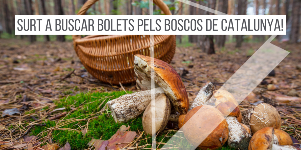
News








 Sustainable turism
 Biosphere