Cim de Estela, Roc de Auró and Turret of the Engineer
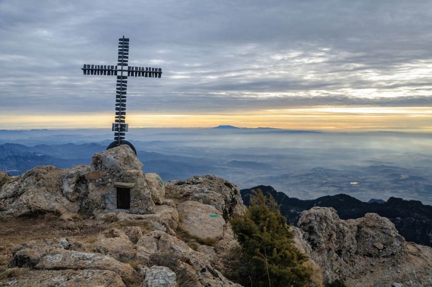
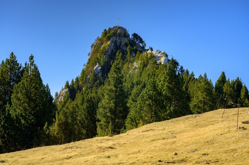
The Cim de Estela is one of the mythical points of the Rasos de Peguera pre-Pyrenean mountain range, a small spur that rises vertiginously over the Berguedan plain and which, due to its aerial nature, has exceptional views of half of Catalonia. From beyond the Montseny to beyond the Montsec. For the views, for the engarristada climb and for the possibility of making three peaks, it is an excellent morning proposal that we can complete at one of the restaurants at the foot of the Rasos. An essential morning of Berguedan hiking.
- Difficulty: easy. Quite short route, ideal to do in one morning. It only has 2 points of medium difficulty: the climb to the Cima de Estela where there is a support rope and the climb to Roque de Arce in which a chain will allow us to overcome a rock projection without too much difficulty.
- Elevation: 677 meters
- Time: between 3h30 'and 4h30' at normal pace. 3h at an agile pace.
- Kilometers: 8 km
Variations: the three summits can also be done starting from other points: from the house of Puigventós (place where the Berga mushroom contest was held), going up the other slope of the Cim de Estela. If we want a practically "flat and down" option, we can start from the Rasos de Peguera Station and plan to the Roc del Ingeniero. And if what we are looking for is to accumulate unevenness, nothing better than to do the "Berga-Rasos-Berga" which does the following route: Berga - Figuerassa - Corbera - Coll de Tagast - Rasos Station - Puigventós - Plana de Campllong - Queralt - Berga.
We left the car at the Sanctuary of Corbera. To get there, we will have to have gone up the Rasos de Peguera road and turn right when the Espinalbet sign appears (after Los Robles and at the same crossroads that would go to the Cold Fountain on the left).
From the Sanctuary of Corbera we take the path that leaves to the right of the paved road. Immediately we come to a disused forest track that we need to cross and take the path that goes up to the right. We will follow the PR marks on a well marked path that passes through a very dense boxwood forest.
The start is bloody and the climb will make us stick our tongues out with a steady and determined slope. But do not worry, this is almost the rightmost section of the entire route, once we have passed we will have a lot of cattle.
After about 10-20 minutes, depending on our rhythm and gasps, we will reach a disused forest track that descends slightly. It may seem contradictory that after the intense climb that we have done now we have to go down, but yes, we must continue straight on in a gentle descent until we reach the Can Déu house. Shortly before reaching the house in ruins, we will take a narrow path that borders the house and the surrounding plans.
After this planned, now the road returns to make a comeback of good work. We enter a pine forest that smells like a good mushroom forest in autumn. At one point in this section we will see a cattle fence, at the time we went it was wide open so the two-legged beasts that passed by could continue our way to the Source of Tagast.
Shortly after we come across a signpost that shows us the path that goes up to Coll de Tagast. This is the route that we will take back, although you can also choose to do the circular in reverse. We recommend starting at the Summit of Estela and going down the Coll de Tagast as it has spectacular views of the descent.
In this section, very well signposted and limited, we will find a disused forest track. The uphill path goes around the curves of the road, but if you want to take some time to do it more calmly, you can meander and overcome the unevenness more slowly. Do not suffer, all roads lead to Rome and pass through the Tagast Fountain.
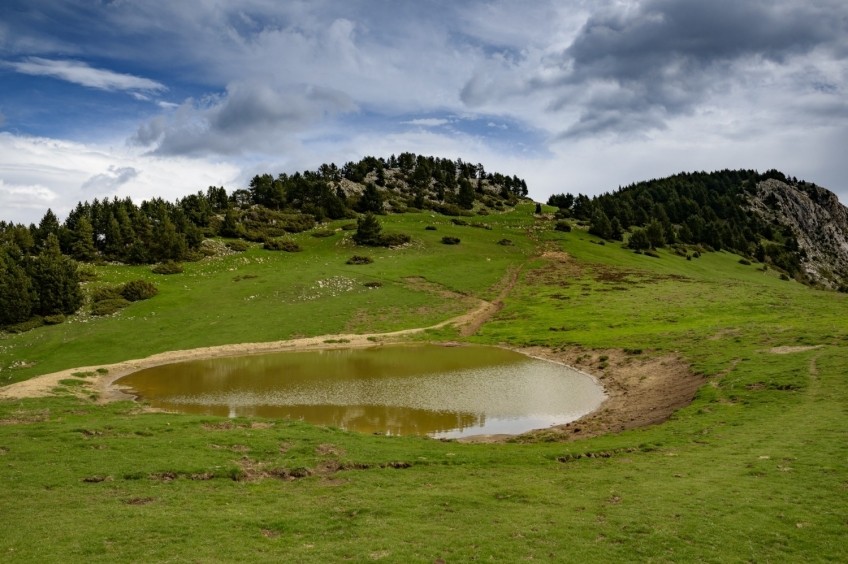
One way or another we come to a plan with bushes and at the top of the plan, we find the Source of Tagast. If we strictly follow the goals we will have to deviate to the right to visit the Source of Tagast. This point, with excellent views towards Figuerassa and the fogs of Baix Berguedà, is an excellent place to have breakfast when we have been walking for 35-45 '.
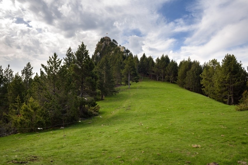
To continue, now we go to the left to look for the path that leaves the Plan de Tagast in a southerly direction and that, gliding and in a gentle climb, goes to look for Estela's neck. Soon we will see the first two objectives of the day: the top of Estela in the background and the Roc de Auró above us, looking much more upright than it will eventually end up being.
All planning, we arrive at a forest track that we follow for a short stretch until we reach Estela's neck, where a meadow opens up before us. We follow it until we reach a wire fence, where you must head to the left. We continue walking by the side of the yarn and we face towards the Cima de Estela. We pass through an area of meadows from where our objective can be perfectly seen, with a good Engarrista aspect from this point.
Soon, the meadow gives way to the black pine forest and the green and blue markings. A sign shows us the way to the Cumbre de Estela in case we have any questions. We make a gentle comeback and see how the blue marks deviate to the right, surely going to look for the edge of the crest at the top. We continue along the most obvious path, with green markings.
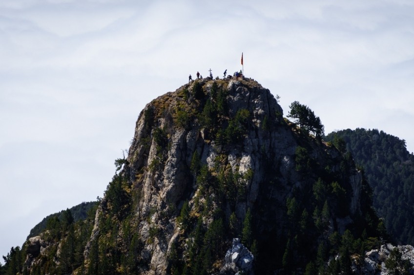
The presence of the stones becomes more evident when we overcome a first rocky outcrop without difficulty and finally reach the section equipped with a rope where we will have to climb. The rope can help us so that the stone is quite smooth and worn by the passage of people. After this section, we enter a small rock chimney that is easily overcome. We turn towards the southern slope of the summit with some easy climbing section and finally we crown the Cumbre de Estela, a very straight summit that, due to its rocky and pointed character, enjoys a fantastic aerial panoramic view on all sides. The view from here of Montserrat and Central Catalonia is unbeatable, and if we are lucky enough to stumble across a sea of fog one day, the postcard is already heavenly.
After gaping at the top, we have to go down the same path that we have climbed, be careful with the slopes and in a short time we will return to Estela's neck. Now we continue there, heading north, towards the Roc de Auró and the Rasets. You will see that it is very well indicated with signs and goals.
We start to climb and we find two signs indicating two very close fountains on both sides of the road. We continue up and after a while we will see the deviation indicated to go up to the Roc de Auró. You will see this summit called in a thousand ways on multiple websites: Roc de Oró, de Uró or de Auró. There are even those who confuse it with the Roc or Engineer's Turret.
Be that as it may, the path has no loss. We follow the milestones by the point that seems easiest to us, we cross a rocky area and we begin to climb with flag marks. It seems that Wifredo the Hairy has passed through here! Soon we reach the rock section equipped with a chain that will be very helpful. (Reading that there is a rope should not scare you to do the route, conversely, it is a safety reinforcement in the two most straight sections). After this section, the arrival at the Roc de Auró will be imminent.
We went down from the Roc de Auró and now we go up towards the Torreta or Roc del Ingeniero. To go there we have two possibilities: undo the Roc de Auró path and continue from the deviation towards the Rasets path (by straining back). Or face the Engineer's Turret directly from the ridge in a more direct and steeper way.
In the GPS track we take this second option. We will have to follow some yellow markings on the ridge and we will have to climb some rock projections that if we are used to climbing they will not be difficult for us. Finally, we have just reached the highest point of the Torreta or Roc del Ingeniero where there is an antenna and a geodesic vertex.
To go down we will return through the Tagast neck and we will do an interesting circular route. From the Roc del Ingeniero you can go directly east until you find the way down (more direct) or you can first go down towards Collada de los Rasets and from there, take the path that goes east to Pla de la Bassa and the Coll de Tagast, where we will arrive after half a kilometer.
From this point, we will have a fantastic panoramic view of Baix Berguedà. We descend from the neck of Tagast to the plane of the Source of Tagast in an important section of descent. Once at the entrance of the plan, we can either continue along the path that goes to the left or cross the meadow and went to find the way up. If we take the first option, we will find the way up a few hundred meters further down.
Finally, having completed the circular section, we undo the path until we reach the Sanctuary of Corbera.
Authorship of photographs and text: Sergi Boixader
What to do
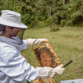
Mel La Caseta, mel artesanal al Berguedà
Avià (a 10.8 Km)Visit the bees with your family, partner, or school and taste their…
Museu d'art del Bolet
Montmajor (a 13 Km)The Museum incorporates more than 500 pieces of mushrooms duly cataloged by…
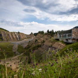
Centre d'interpretació Dinosaures Fumanya
Cercs (a 8.7 Km)Discover the Fumanya Dinosaurs Interpretation Center and travel to the past in…
Where to eat
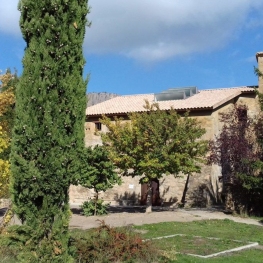
Restaurant Apartaments Els Roures
Castellar del Riu (a 7.8 Km)Rest, charm and good cuisine, a unique space located in Berguedà, at…
Restaurant Gust Picant
Berga (a 12 Km)At Gust Picant, you can enjoy affordable menus with a wide variety…
Hostal de Montclar
Montclar (a 13.5 Km)Located in the town square of Montclar, in the south of Berguedà,…
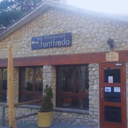
Restaurant Font Freda
Castellar del Riu (a 7.7 Km)A restaurant offering a wide selection of Catalan dishes, especially notable for…
Where to sleep
Alberg La Rectoria de la Selva, Fundesplai
Navès (a 7.7 Km)The Selva Rectory is located in the municipality of Navès. This colonial…
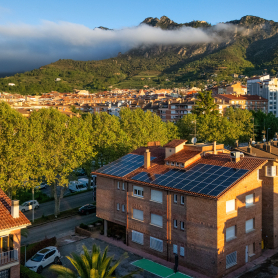
Hotel Estel
Berga (a 12 Km)Hotel Estel, your refuge in Berga to discover the most authentic Berguedà!…
Restaurant Apartaments Els Roures
Castellar del Riu (a 7.8 Km)Rest, charm and good cuisine, a unique space located in Berguedà, at…
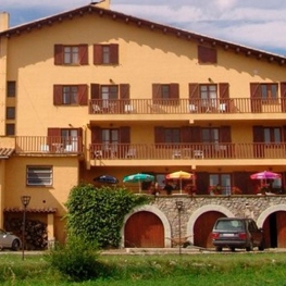
Hostal Cal Franciscó
Gósol (a 12 Km)The hostel is located at a crossroads that leads to different routes,…

